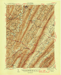
1944 Map of Orbisonia
USGS Topo · Published 1944About this map
The narrow-gauge corridor of the East Broad Top RR defines the industrial and transportation character of this central Pennsylvania landscape, serving the twin boroughs of Orbisonia and Rockhill. The map reveals a deeply corrugated topography of parallel ridges, including Shade Mountain and Tuscarora Mountain, which dictate the placement of settlements and transit. While the railroad follows the valley floor along Aughwick Creek, the newly constructed Pennsylvania Turnpike cuts a bold diagonal across the southern terrain, tunneling through the ridges at Sideling Hill and Blue Mountain.
Find a feature on this map
90 named features on this map. Tap any name to fly to it.
Don’t see what you’re looking for? This feature index may not catch every label — zoom into the map to look around manually.
Map Details
Editions of this 1944 Orbisonia Map
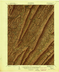
3 editions found

Other maps of this area

1900 · Mercersburg
USGS Topo · 1:62,500

1901 · Huntingdon
USGS Topo · 1:62,500

1902 · Chambersburg
USGS Topo · 1:62,500

1902 · Mercersburg
USGS Topo · 1:62,500

1904 · Huntingdon
USGS Topo · 1:62,500

1919 · Mattawana
USGS Topo · 1:62,500

1922 · Mt Union
USGS Topo · 1:48,000

1923 · Shippensburg
USGS Topo · 1:62,500

1924 · Mt. Union
USGS Topo · 1:62,500

1925 · Needmore
USGS Topo · 1:48,000