Old Maps of Wells Township, Pennsylvania for Genealogy
Trace your family roots with 34 historic maps of Wells Township. These high-res maps reveal old neighborhoods, homesites, landmarks, and streets — helping you uncover where your ancestors lived and how the area evolved over time.
- Explore historic neighborhoods: Identify where your relatives may have lived in the 1800s or 1900s.
- Compare maps over time: Trace the changes in streets, buildings, and landmarks for multi-generational research.
- Perfect for genealogy & ancestry research: Used by family historians and researchers to map out lineage and migration.
These maps are an incredible resource for exploring your personal connection to Wells Township's past.
Wells Township, PA maps
(34)- 1930 Map of Broad Top, 1958 Print
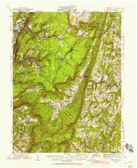 1930 Broad Top1958 Print · USGSThe Broad Top coalfields of the 1930s come alive through this survey of the region's mining towns and mountain ridges. Genealogists can trace family footprints at Bills Place, Miller Sch, and the Garlick Mine along the Huntingdon and Broad Top Mountain RR.2 unique versions available
 - 1933 Map of Broad Top
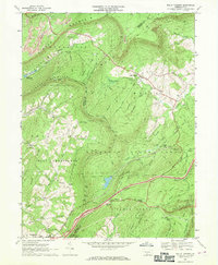
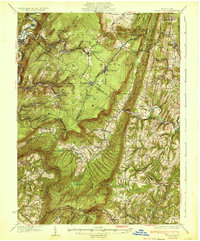 1933 Broad Top1933 Print · USGSBroad Top Mountain and its surrounding coalfields were at a peak of rail-driven activity in the early thirties. Local historians can trace the precise routes of the Huntingdon and Broad Top Mountain RR and locate community landmarks like Wells Tannery and Eagle Foundry Ch.3 unique versions available
 - 1953 Map of Pittsburgh
 1953 Pittsburgh1953 Print · USGSWestern Pennsylvania's industrial landscape at the start of the fifties shows the steel and rail corridors between Pittsburgh and Altoona. Trace family roots in river towns like Tarentum or follow the Pennsylvania Turnpike across Laurel Hill.
 - 1954 Map of Pittsburgh
 1954 Pittsburgh1954 Print · USGSWestern Pennsylvania in the early fifties remains a powerhouse of heavy industry and vital transit corridors. Genealogists and historians can trace the rail-and-river network connecting Pittsburgh, Johnstown, and Altoona via the Pennsylvania RR and the Lincoln Highway.2 unique versions available
 - 1958 Map of Pittsburgh
 1958 Pittsburgh1958 Print · USGSWestern Pennsylvania in the late fifties shows an industrial heartland defined by the confluence of the Allegheny River and Monongahela River. Researchers can trace the sprawling rail networks of the Pennsylvania RR and find established towns like Butler, Latrobe, and Windber.5 unique versions available
 - 1959 Map of Pittsburgh
 1959 Pittsburgh1959 Print · USGSWestern Pennsylvania in the late fifties is captured here at the height of its industrial era. Genealogists and historians can trace the riverfront growth of Pittsburgh, the rail works at Altoona, and the mountain gaps of Laurel Hill.
 - 1964 Map of Pittsburgh
 1964 Pittsburgh1964 Print · USGSWestern Pennsylvania in the late fifties and early sixties shows a landscape of powerful river industries and expanding highways. Genealogists and historians can trace the rail corridors of the Pennsylvania RR through industrial hubs like Johnstown, Altoona, and Nanty Glo.
 - 1968 Map of Saxton, 1970 Print
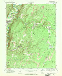 1968 Saxton1970 Print · USGSThe mining country of central Pennsylvania is documented here in the late sixties, where the Raystown Branch Juniata River meets a landscape of industry. Genealogists can trace family roots through settlements like Dudley and Broad Top City or find local burials at Grandview Cem.5 unique versions available
 - 1968 Map of Saltillo, 1970 Print
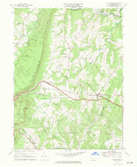
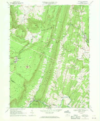 1968 Saltillo1970 Print · USGSThe coal and timber country of Huntingdon County is frozen in time here just before the close of the 1960s. Researchers can trace the legacy of industry and faith through locations like the Robertsdale mines, Eagle Foundry, and Calvary Ch.3 unique versions available
 - 1968 Map of Hustontown, 1970 Print
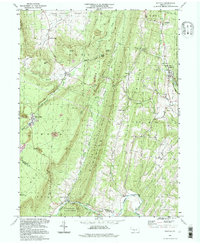
 1968 Hustontown1970 Print · USGSFulton County and the rugged ridge of Sideling Hill are captured here in the late sixties, showing the intersection of mountain wilderness and rural industry. Genealogists and local historians can trace family locations near Hustontown, Mellotts Mill, and several country churches like Wells Valley Ch.3 unique versions available
 - 1968 Map of Wells Tannery, 1970 Print
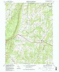
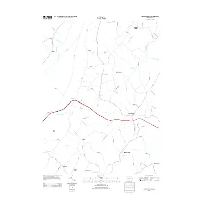
 1968 Wells Tannery1970 Print · USGSFulton and Bedford Counties meet in this ridge-and-valley landscape during the late sixties as the turnpike modernized local travel. Researchers can locate family landmarks like Shortys Place, Old Mtn House, and the Graceville Cem.4 unique versions available
 - 1981 Map of Johnstown, 1983 Print
 1981 Johnstown1983 Print · USGSSouth Central Pennsylvania is captured here in the early eighties, from the industrial heart of the Conemaugh Valley to the ridges of the Allegheny Front. Local historians can trace the rail corridors of Conrail and the growth of mountain communities like Ebensburg, Nanty Glo, and Windber.
 - 1994 Map of Hustontown, 1997 Print
 1994 Hustontown1997 Print · USGSCentral Pennsylvania's ridge-and-valley country is captured here in the mid-1990s, centered on the intersection of the turnpike and local rural life. Genealogists can locate family landmarks like Mellotts Mill, Dublin Mills, and several country churches including Fairview Ch.
 - 1994 Map of Saltillo, 1997 Print
 1994 Saltillo1997 Print · USGSThe borough of Saltillo and the mining-town heritage of Robertsdale are centered in this late-twentieth-century study of the Huntingdon and Fulton county border. Genealogists can trace family names at Cornelius Chapel or Mt Pleasant Cem and locate sites like Eagle Foundry.
 - 2010 Map of Saxton, 2010 Print
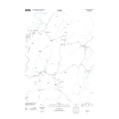
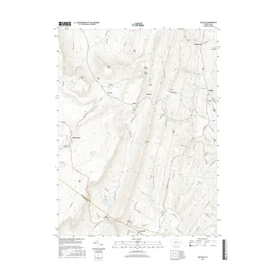
 2010 Saxton2010 Print · USGSCovers Wells Township, including Todd Township, Saxton, and other nearby areas
 - 2010 Map of Wells Tannery, 2010 Print
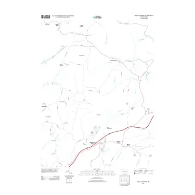
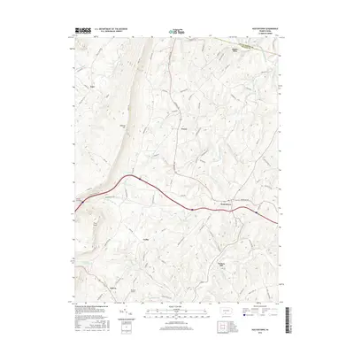
 2010 Wells Tannery2010 Print · USGSCovers Wells Township, including Valley-Hi, East Providence Township, and other nearby areas
 - 2010 Map of Hustontown, 2010 Print
 2010 Hustontown2010 Print · USGSCovers Wells Township, including Laidig, Hustontown, and other nearby areas
 - 2010 Map of Saltillo, 2010 Print
 2010 Saltillo2010 Print · USGSCovers Wells Township, including Todd Township, Saltillo, and other nearby areas
 - 2013 Map of Saltillo, 2013 Print
 2013 Saltillo2013 Print · USGSCovers Wells Township, including Todd Township, Saltillo, and other nearby areas
 - 2013 Map of Hustontown, 2013 Print
 2013 Hustontown2013 Print · USGSCovers Wells Township, including Laidig, Hustontown, and other nearby areas
 - 2013 Map of Wells Tannery, 2013 Print
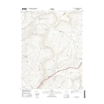
 2013 Wells Tannery2013 Print · USGSCovers Wells Township, including Valley-Hi, East Providence Township, and other nearby areas
 - 2013 Map of Saxton, 2013 Print
 2013 Saxton2013 Print · USGSCovers Wells Township, including Todd Township, Saxton, and other nearby areas
 - 2016 Map of Wells Tannery, 2016 Print
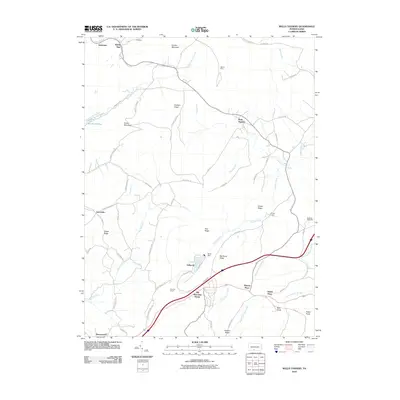
 2016 Wells Tannery2016 Print · USGSCovers Wells Township, including Valley-Hi, East Providence Township, and other nearby areas
 - 2016 Map of Hustontown, 2016 Print
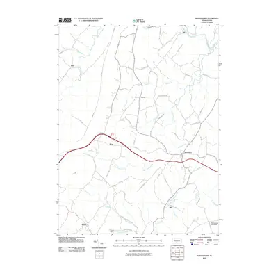
 2016 Hustontown2016 Print · USGSCovers Wells Township, including Laidig, Hustontown, and other nearby areas
 - 2016 Map of Saltillo, 2016 Print
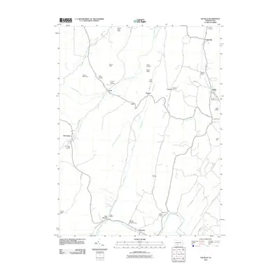
 2016 Saltillo2016 Print · USGSCovers Wells Township, including Todd Township, Saltillo, and other nearby areas
Showing maps 1-25 of 34
Top cities near Wells Township
- Martinsburg historical maps
- Everett historical maps
- Metal Township historical maps
- McConnellsburg historical maps
- Todd Township historical maps
- Saxton historical maps
See more
Top neighborhoods of Wells Township
Frequently asked questions
- What are the different types of historical maps available for Wells Township?
- What is the oldest map of Wells Township?
- Where can I purchase historical maps of Wells Township for my home or office?
- Where can I download high-res historical maps of Wells Township?
- Are there historical topographic maps available for Wells Township?
- Is there historical aerial imagery available for Wells Township?
- Where are historical maps of Wells Township sourced from?