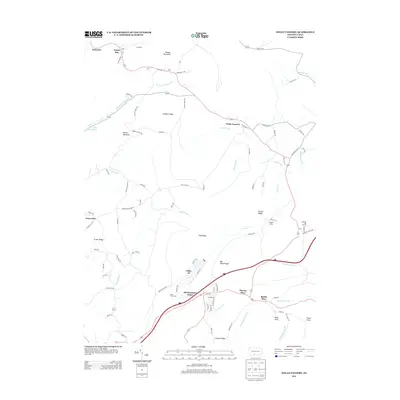
2013 Map of Wells Tannery
USGS Topo · Published 2013About this map
Wells Tannery and the borough of Valley-Hi anchor this section of Fulton County, where the Interstate 76 corridor slices through the ridges of the Appalachians. The landscape is defined by long, parallel elevations like Childers Ridge, Pine Ridge, and Duvall Ridge, which forced early transport routes into tunnels and narrow gaps. Significant landmarks include the Rays Hill Tunnel and Sideling Hill Tunnel, which highlight the engineering required to traverse these mountains.
Find a feature on this map
100 named features on this map. Tap any name to fly to it.
Don’t see what you’re looking for? This feature index may not catch every label — zoom into the map to look around manually.
Map Details
Editions of this 2013 Wells Tannery Map
This is the sole edition of this map. No revisions or reprints were ever made.
Other maps of this area

1900 · Everett
USGS Topo · 1:62,500

1902 · Everett
USGS Topo · 1:62,500

1925 · Needmore
USGS Topo · 1:48,000

1927 · Clearville
USGS Topo · 1:48,000

1930 · Broad Top
USGS Topo · 1:62,500

1931 · Clearville
USGS Topo · 1:62,500

1933 · Broad Top
USGS Topo · 1:62,500

1935 · Needmore
USGS Topo · 1:62,500

1939 · Needmore
USGS Topo · 1:62,500

1944 · Clearville
USGS Topo · 1:62,500
Featured Places
- Valley-Hi, PA
- East Providence Township, PA
- Graceville, East Providence Township
- Old Mountain House, Brush Creek Township
- Sandy Run, Broad Top Township