Old Maps of Barree Township, Pennsylvania for Metal Detecting
Plan your next treasure hunt with 34 historic maps of Barree Township. Find old homesites, ghost towns, trails, and gathering spots that may be lost to time — perfect for identifying promising metal detecting locations.
- Locate forgotten sites: Uncover places like long-lost settlements, abandoned rail lines, or gathering spots.
- Plan better hunts: Use map overlays combined with LiDAR or satellite views to narrow in on historically rich areas.
- Made for detectorists: Thousands of hobbyists use these maps to discover relics, coins, and hidden history.
Use these historic maps to boost your research and find new opportunities beneath the surface of Barree Township.
Barree Township, PA maps
(34)- 1919 Map of Menno
 1919 Menno1919 Print · USGSHuntingdon County is shown at the end of the first World War, when small-town industry and rail travel still dictated the local rhythm. Genealogists and historians can locate family-named landmarks like McAlevys Fort, Cornpropst Mills, and the Union Church near the county line.
 - 1935 Map of Allensville, 1958 Print
 1935 Allensville1958 Print · USGSThe ridge-and-valley country of central Pennsylvania is captured here in the mid-1930s as the local economy shifted toward conservation and forestry. Researchers can find traditional crossroads like McAlevys Fort, local landmarks such as Compropst Mill, and depression-era Owl Gap CCC Camp sites.2 unique versions available
 - 1938 Map of Allensville
 1938 Allensville1938 Print · USGSCentral Pennsylvania's valleys and ridges were a hive of rural industry and New Deal activity in the mid-1930s. Researchers can locate vanished schoolhouses and industrial sites like Greenwood Furnace, Cornpropst Mill, and the Mount Gap CCC Camp.3 unique versions available
 - 1943 Map of Lewistown
 1943 Lewistown1943 Print · USGSCentral Pennsylvania's rugged ridge-and-valley landscape is documented here during the mid-forties, showing the deep integration of rail lines and mountain gaps. Genealogists can trace family footprints through numerous rural landmarks like Emma Chapel, Mattern Junction, and the McNitt School.
 - 1950 Map of Harrisburg, 1952 Print
 1950 Harrisburg1952 Print · USGSMid-century Central Pennsylvania comes alive through its dense rail networks and river valley settlements during the post-war industrial era. Genealogists and historians can trace family roots through hubs like Harrisburg, locate Carlisle Barracks, or follow the Pennsylvania RR through the Lebanon Valley.
 - 1957 Map of Harrisburg
 1957 Harrisburg1957 Print · USGSMid-century Central Pennsylvania comes into focus as a bustling network of rail, river, and mountain ridges. Genealogists and historians can trace the development of the State Capitol and surrounding hubs like Middletown, Columbia, and Pottsville.7 unique versions available
 - 1961 Map of Harrisburg
 1961 Harrisburg1961 Print · USGSCentral Pennsylvania is shown at a mid-century peak of industrial and military activity, from the Susquehanna water gaps to the fertile Dutch Country. Genealogists and historians can trace the rail corridors of the Pennsylvania RR and find landmarks like Carlisle Barracks or the Anthracite Coal Fields.2 unique versions available
 - 1963 Map of Donation, 1964 Print
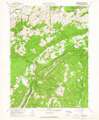 1963 Donation1964 Print · USGSThe valleys of Huntingdon County appear in the early 1960s as a patchwork of university research forests, game lands, and traditional farmsteads. Genealogists and local historians can trace family locations near Cottage, Manor Hill, and the Steel Cem.3 unique versions available
 - 1963 Map of Mc Alevys Fort, 1965 Print
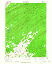 1963 Mc Alevys Fort1965 Print · USGSNorth of Huntingdon in the mid-1960s, this area shows a landscape defined by prominent ridges and early industrial sites. Researchers can trace local genealogy at McAlevys Fort or find historic locations like the Jackson-Miller Sch and Greenwood Furnace.4 unique versions available
 - 1963 Map of Allensville, 1965 Print
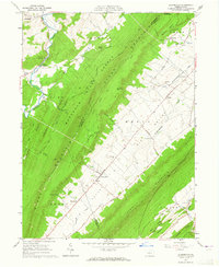 1963 Allensville1965 Print · USGSBig Valley in the early 1960s remains a corridor of traditional farmsteads and rural institutions between the ridges of central Pennsylvania. Genealogists and historians can trace family roots through the Mennonite Cem, Wesley Chapel, and the vanished schoolrooms of Waynesburg Sch.3 unique versions available
 - 1963 Map of Pine Grove Mills, 1965 Print
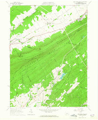 1963 Pine Grove Mills1965 Print · USGSThe ridges of central Pennsylvania define this early 1960s landscape, where university experimental forests meet historic furnace settlements. Genealogists and researchers can trace the valley communities of Pine Grove Mills and Neffs Mills or locate local landmarks like the Pennsylvania Furnace Cem and Monroe Furnace.4 unique versions available
 - 1964 Map of Harrisburg
 1964 Harrisburg1964 Print · USGSCentral Pennsylvania in the mid-fifties reveals a landscape shaped by ridge-and-valley geology and critical Cold War infrastructure. Researchers can trace the massive Indiantown Gap Military Reservation or the rail corridors of the Pennsylvania RR and Reading RR.
 - 1977 Map of Pine Grove Mills, 1979 Print
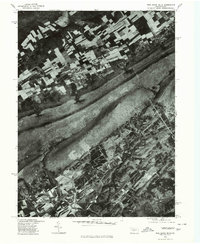 1977 Pine Grove Mills1979 Print · USGSCentre County's rural landscape is captured here in the late seventies, showing the traditional farming patterns and mountain ridges near State College. Researchers can trace the exact footprint of small settlements like Fairbrook, Masseyburg, and Neffs Mills.
 - 1977 Map of Mc Alevys Fort, 1979 Print
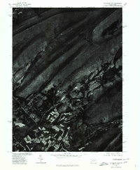 1977 Mc Alevys Fort1979 Print · USGSNorthern Huntingdon County appears in the late seventies as a mosaic of valley farms and mountain ridges. Trace the rural layout of Mc Alevys Fort and the winding course of Standing Stone Creek against the backdrop of Tussey Mountain.
 - 1984 Map of State College, 1985 Print
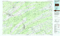 1984 State College1985 Print · USGSCentral Pennsylvania’s Ridge-and-Valley province is captured here in the mid-eighties, showing the deep connection between the mountain terrain and the region's historic settlements. Researchers can trace the layout of Pennsylvania State University and follow old rail corridors like the Bellefonte Historical RR and Conrail.
 - 1988 Map of State College, 1989 Print
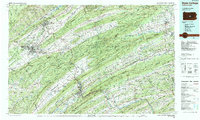 1988 State College1989 Print · USGSCentral Pennsylvania in the late eighties shows the sprawling influence of Pennsylvania State University against a backdrop of ancient ridges. Genealogists can trace family landmarks like Church Hill Church and the Bellefonte Cemetery across the deep valleys.
 - 1998 Map of Mc Alevys Fort, 1999 Print
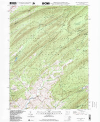 1998 Mc Alevys Fort1999 Print · USGSThe rural crossroads of Huntingdon County are preserved here in the late twentieth century, centered on the valley floor between the high ridges of Tussey Mountain and Broad Mountain. Researchers can locate family landmarks like the Jackson-Miller Sch, St Stephens Ch, and the historical settlement of McAlevys Fort.
 - 1998 Map of Pine Grove Mills, 1999 Print
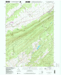 1998 Pine Grove Mills1999 Print · USGSThe Centre and Huntingdon County line comes alive in the late 1990s, where the ridges of Tussey Mountain meet the historic iron-era valleys. Trace the legacy of early industry through Monroe Furnace, the Beaver Railroad, and Neffs Mills.
 - 2010 Map of Pine Grove Mills, 2010 Print
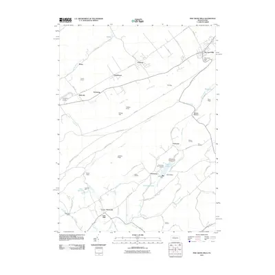 2010 Pine Grove Mills2010 Print · USGSCovers Barree Township, including Pine Grove Mills, Monroe Furnace, and other nearby areas
 - 2010 Map of McAlevys Fort, 2010 Print
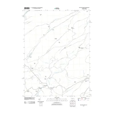 2010 McAlevys Fort2010 Print · USGSCovers Barree Township, including McAlevys Fort, Harris Township, and other nearby areas
 - 2010 Map of Donation, 2010 Print
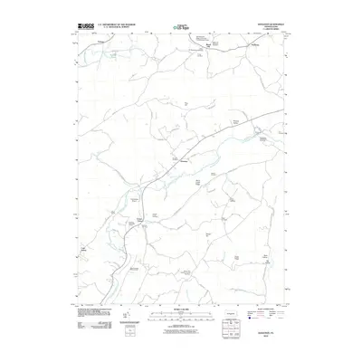 2010 Donation2010 Print · USGSCovers Barree Township, including Huntingdon, Saulsburg, and other nearby areas
 - 2013 Map of Donation, 2013 Print
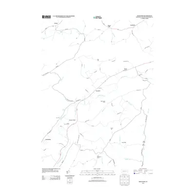 2013 Donation2013 Print · USGSCovers Barree Township, including Huntingdon, Saulsburg, and other nearby areas
 - 2013 Map of Pine Grove Mills, 2013 Print
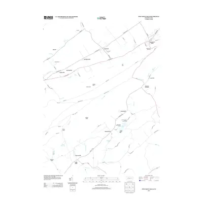 2013 Pine Grove Mills2013 Print · USGSCovers Barree Township, including Pine Grove Mills, Monroe Furnace, and other nearby areas
 - 2013 Map of McAlevys Fort, 2013 Print
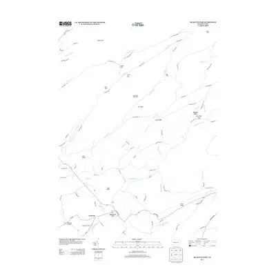 2013 McAlevys Fort2013 Print · USGSCovers Barree Township, including McAlevys Fort, Harris Township, and other nearby areas
 - 2016 Map of Donation, 2016 Print
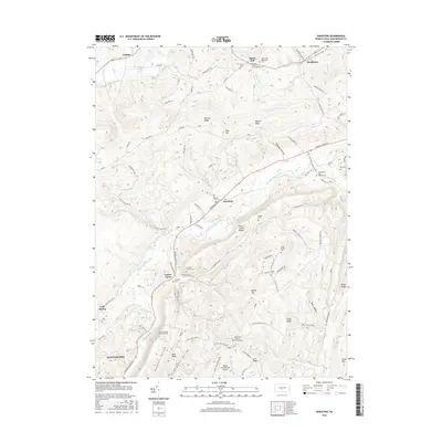 2016 Donation2016 Print · USGSCovers Barree Township, including Huntingdon, Saulsburg, and other nearby areas
Showing maps 1-25 of 34
Top cities near Barree Township
- State College historical maps
- Huntingdon historical maps
- Granville Township historical maps
- Boalsburg historical maps
- Pleasant Gap historical maps
- Menno Township historical maps
See more
Top neighborhoods of Barree Township
- Manor Hill historical maps
- Monroe Furnace historical maps
- Charteroak historical maps
- Masseyburg historical maps
- Saulsburg historical maps
Frequently asked questions
- What are the different types of historical maps available for Barree Township?
- What is the oldest map of Barree Township?
- Where can I purchase historical maps of Barree Township for my home or office?
- Where can I download high-res historical maps of Barree Township?
- Are there historical topographic maps available for Barree Township?
- Is there historical aerial imagery available for Barree Township?
- Where are historical maps of Barree Township sourced from?