Old Maps of Porter Township, Pennsylvania for Hiking & Exploration
Hike through history with 35 historic maps of Porter Township. Explore old trails, ghost towns, and forgotten backroads — perfect for outdoor adventurers and local explorers.
- Rediscover forgotten places: Map out old mining camps, roads, and footpaths that no longer exist on modern maps.
- Layer with modern tools: Combine with LiDAR or satellite views to plan hikes through historical terrain.
- Made for exploration: Popular among hikers, overlanders, and local history lovers.
Use these maps to find adventure and explore the hidden past of Porter Township.
Porter Township, PA maps
(35)- 1901 Map of Huntingdon, 1960 Print
 1901 Huntingdon1960 Print · USGSCentral Pennsylvania's ridge-and-valley landscape is documented here at the turn of the century, showing a network of river-bound iron fords and rail junctions. Genealogists and historians can trace family-named locations from Cove Forge to settlements like Cassville and Marklesburg.
 - 1904 Map of Huntingdon
 1904 Huntingdon1904 Print · USGSHuntingdon and the Raystown Branch of the Juniata River are captured in the early 1900s as the region's rail and iron industries thrived. Trace the routes of the P. R. R. and find local landmarks like Eagle Foundry, Cassville, and the historic Fink Bridge.6 unique versions available
 - 1923 Map of Tyrone
 1923 Tyrone1923 Print · USGSThe industrial and rail corridor of the Juniata Valley is captured here in the early twenties as it winds between massive ridges. Researchers can locate early iron landmarks like Huntingdon Furnace, local schools such as Kinch School, and the rail junction at Tyrone.4 unique versions available
 - 1929 Map of Tyrone
 1929 Tyrone1929 Print · USGSCentral Pennsylvania during the 1920s reveals a landscape defined by industrial rail towns and limestone valleys. Trace the route of the Pennsylvania Railroad past historic sites like Graziers Mill and Union Furnace.6 unique versions available
 - 1933 Map of Tyrone
 1933 Tyrone1933 Print · USGSCentral Pennsylvania's iron and rail heritage is on full display here in the early thirties as the industrial hub of Tyrone connects the valleys. Genealogists can trace family footprints at Pennsylvania Furnace, Grazier Mill, and dozens of rural schoolhouses like Rural Choice Sch.3 unique versions available
 - 1946 Map of Tyrone
 1946 Tyrone1946 Print · USGSThe valleys of Blair and Huntingdon counties are captured here in the 1940s as rail and river corridors defined local life. Researchers can trace the Pennsylvania Canal, find family-named schoolhouses like Eyer Sch, or locate the historic Huntingdon Furnace.
 - 1953 Map of Pittsburgh
 1953 Pittsburgh1953 Print · USGSWestern Pennsylvania's industrial landscape at the start of the fifties shows the steel and rail corridors between Pittsburgh and Altoona. Trace family roots in river towns like Tarentum or follow the Pennsylvania Turnpike across Laurel Hill.
 - 1954 Map of Pittsburgh
 1954 Pittsburgh1954 Print · USGSWestern Pennsylvania in the early fifties remains a powerhouse of heavy industry and vital transit corridors. Genealogists and historians can trace the rail-and-river network connecting Pittsburgh, Johnstown, and Altoona via the Pennsylvania RR and the Lincoln Highway.2 unique versions available
 - 1958 Map of Pittsburgh
 1958 Pittsburgh1958 Print · USGSWestern Pennsylvania in the late fifties shows an industrial heartland defined by the confluence of the Allegheny River and Monongahela River. Researchers can trace the sprawling rail networks of the Pennsylvania RR and find established towns like Butler, Latrobe, and Windber.5 unique versions available
 - 1959 Map of Pittsburgh
 1959 Pittsburgh1959 Print · USGSWestern Pennsylvania in the late fifties is captured here at the height of its industrial era. Genealogists and historians can trace the riverfront growth of Pittsburgh, the rail works at Altoona, and the mountain gaps of Laurel Hill.
 - 1963 Map of Huntingdon, 1965 Print
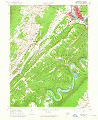 1963 Huntingdon1965 Print · USGSMid-Pennsylvania ridge-and-valley life is on full display here in the early sixties, centered on the historic river town of Huntingdon. Family historians can trace rural roots at St Jacobs Ch Cem or locate the old Hawns Bridge before the landscape was reshaped by modern water projects.4 unique versions available
 - 1963 Map of Alexandria, 1965 Print
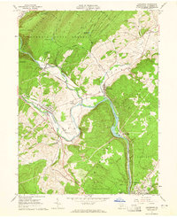 1963 Alexandria1965 Print · USGSHuntingdon County's river valleys and ridgelines are shown here in the early sixties, as the historic rail-and-water corridors continued to shape local industry. Researchers can trace family sites at Neff Cem, explore the network of the Pennsylvania Railroad, or locate landmarks like Camp Barree and Lincoln Caverns.4 unique versions available
 - 1963 Map of Spruce Creek, 1965 Print
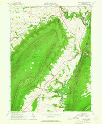 1963 Spruce Creek1965 Print · USGSBlair and Huntingdon counties in the early sixties show a landscape shaped by narrow valleys and the legacy of the iron industry. Genealogists and historians can trace the foundations of Etna Furnace, locate the St John Cem, and follow the old rail lines through Union Furnace.4 unique versions available
 - 1963 Map of Williamsburg, 1965 Print
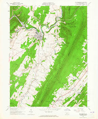 1963 Williamsburg1965 Print · USGSThe valleys of Blair and Huntingdon Counties are captured here in the early sixties, showing a landscape of deep-rooted settlements and railroad corridors. Genealogists can trace family names at Snively Cem, Biddle Cem, and the crossing at Brumhaugh Crossing.5 unique versions available
 - 1964 Map of Pittsburgh
 1964 Pittsburgh1964 Print · USGSWestern Pennsylvania in the late fifties and early sixties shows a landscape of powerful river industries and expanding highways. Genealogists and historians can trace the rail corridors of the Pennsylvania RR through industrial hubs like Johnstown, Altoona, and Nanty Glo.
 - 1981 Map of Johnstown, 1983 Print
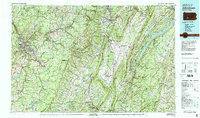 1981 Johnstown1983 Print · USGSSouth Central Pennsylvania is captured here in the early eighties, from the industrial heart of the Conemaugh Valley to the ridges of the Allegheny Front. Local historians can trace the rail corridors of Conrail and the growth of mountain communities like Ebensburg, Nanty Glo, and Windber.
 - 1984 Map of Tyrone, 1985 Print
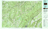 1984 Tyrone1985 Print · USGSCentral Pennsylvania in the mid-eighties shows a rugged landscape defined by the industry of Altoona and the ridges of the Appalachians. Genealogists and historians can trace the rail corridors of CONRAIL and locate vanished family homes near Glendale Lake or within Sinking Valley.
 - 1994 Map of Huntingdon, 1997 Print
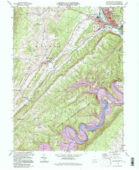 1994 Huntingdon1997 Print · USGSHuntingdon and the winding Juniata River valley are captured in the mid-nineties as the region balanced its role as a county seat with growing recreational use. Researchers can locate family landmarks like Anderson Cem, St Jacobs Ch, and the original campus of Juniata College.
 - 1994 Map of Alexandria, 1997 Print
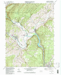 1994 Alexandria1997 Print · USGSHuntingdon County at the close of the twentieth century shows a landscape shaped by the Juniata River. Genealogists can trace local landmarks like Bethel Ch and Lincoln Caverns, or explore the old river towns of Alexandria and Petersburg.
 - 2010 Map of Williamsburg, 2010 Print
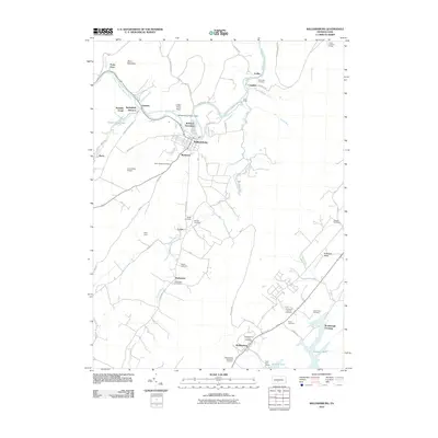 2010 Williamsburg2010 Print · USGSCentral Pennsylvania at the start of the twenty-first century reveals a landscape where river industry and rural life converge along the Frankstown Branch Juniata River. Researchers can trace local lineage at Biddle Cemetery or Marklesburg Union Cemetery, and locate landmarks like Indian Chief Rock.
 - 2010 Map of Spruce Creek, 2010 Print
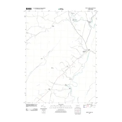 2010 Spruce Creek2010 Print · USGSMid-Pennsylvania river valleys and iron-works settlements come alive in this early 21st-century record. Researchers can pinpoint historic industrial sites like Etna Furnace and Union Furnace alongside several family-named burial grounds including Waterstreet Cemetery.
 - 2010 Map of Huntingdon, 2010 Print
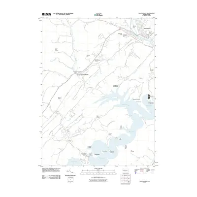 2010 Huntingdon2010 Print · USGSHuntingdon and the surrounding ridges are shown here in the early twenty-first century as the landscape balances its industrial past with modern recreation. Genealogists and historians can locate numerous family burial grounds like Mark Family Cemetery and trace the impact of the Raystown Dam on the local terrain.
 - 2013 Map of Williamsburg, 2013 Print
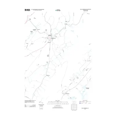 2013 Williamsburg2013 Print · USGSBlair County's river-carved landscape comes into focus in the early 2010s as it transitions from the Juniata River banks to the shores of Raystown Lake. Researchers can trace local landmarks like the Arch Spring Natural Bridge, the Ganister Blue Hole, and the rural community of Shellytown.
 - 2013 Map of Spruce Creek, 2013 Print
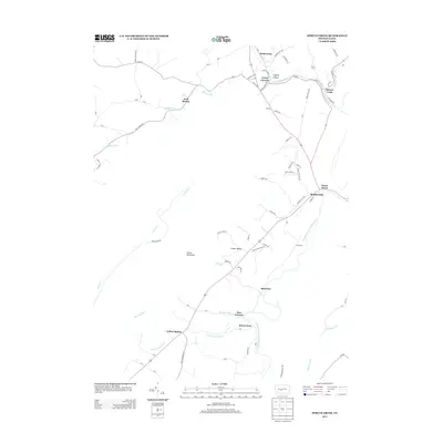 2013 Spruce Creek2013 Print · USGSSpanning the gaps of central Pennsylvania in the early 2010s, this area shows a landscape shaped by water and iron. Genealogists and historians can locate legacy industrial sites like Etna Furnace and rural settlements including Arch Spring and Yellow Spring.
 - 2013 Map of Huntingdon, 2013 Print
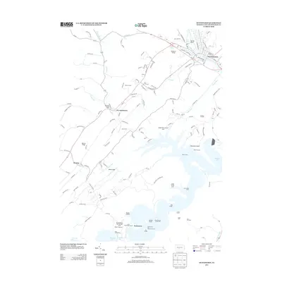 2013 Huntingdon2013 Print · USGSHuntingdon and the surrounding valleys of central Pennsylvania are shown here at a peak of modern lakeside development. Genealogists and researchers can trace the roads of McConnellstown or explore recreation landmarks like Yocums Boat House and Hawns Bridge.
Showing maps 1-25 of 35
Top cities near Porter Township
- State College historical maps
- Frankstown Township historical maps
- Huntingdon historical maps
- Tyrone historical maps
- Mount Union historical maps
- Warriors Mark Township historical maps
See more
Top neighborhoods of Porter Township
Frequently asked questions
- What are the different types of historical maps available for Porter Township?
- What is the oldest map of Porter Township?
- Where can I purchase historical maps of Porter Township for my home or office?
- Where can I download high-res historical maps of Porter Township?
- Are there historical topographic maps available for Porter Township?
- Is there historical aerial imagery available for Porter Township?
- Where are historical maps of Porter Township sourced from?