
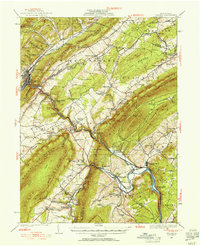
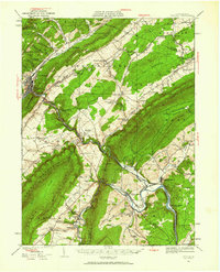
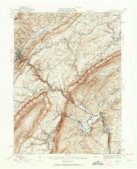
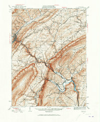
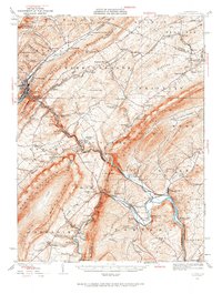
1929 Map of Tyrone
USGS Topo · Published 1929About this map
Tyrone serves as a major industrial and rail hub where Bald Eagle Creek meets the Little Juniata River. The corridor follows the Pennsylvania Railroad as it snakes through narrow gaps in Bald Eagle Mountain, connecting industrial hamlets like Union Furnace and Birmingham. The landscape is dominated by the steep ridges of Tussey Mountain and Canoe Mountain, which define the broad agricultural expanses of Warriors Mark Valley and Spruce Creek Valley.
Find a feature on this map
62 named features on this map. Tap any name to fly to it.
Don’t see what you’re looking for? This feature index may not catch every label — zoom into the map to look around manually.
Map Details
Editions of this 1929 Tyrone Map
6 editions found
Other maps of this area

1901 · Huntingdon
USGS Topo · 1:62,500

1902 · Hollidaysburg
USGS Topo · 1:62,500

1903 · Hollidaysburg
USGS Topo · 1:62,500

1903 · Houtzdale
USGS Topo · 1:62,500

1904 · Huntingdon
USGS Topo · 1:62,500

1905 · Houtzdale
USGS Topo · 1:62,500

1908 · Bellefonte
USGS Topo · 1:62,500

1909 · Bellefonte
USGS Topo · 1:62,500

1919 · Menno
USGS Topo · 1:62,500

1920 · Altoona
USGS Topo · 1:62,500