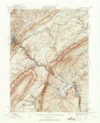
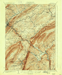
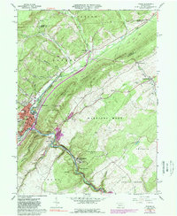
1929 Map of Tyrone
USGS Topo · Published 1964About this map
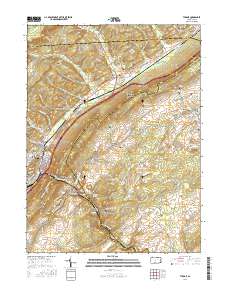
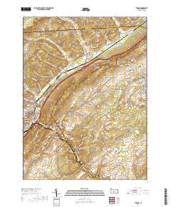
Bald Eagle Mountain and the Allegheny Mts dominate this Central Pennsylvania landscape, where the Pennsylvania railroad follows the winding corridor of the Little Juniata River. The map captures an era of decentralized local industry and education, evidenced by the numerous district schools like Hickory Bottom Sch and Mountain Orchard Sch. Major valley settlements such as Tyrone and Alexandria anchor the region, while the presence of Huntingdon Furnace points to the area's earlier iron-making heritage.
Find a feature on this map
114 named features on this map. Tap any name to fly to it.
Don’t see what you’re looking for? This feature index may not catch every label — zoom into the map to look around manually.
Map Details
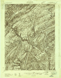
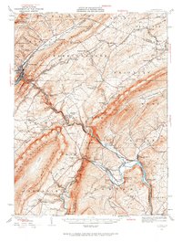
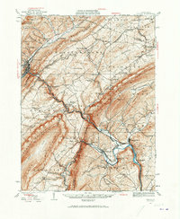
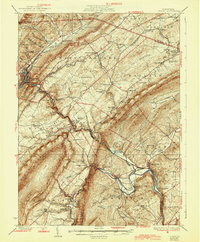
Editions of this 1929 Tyrone Map
6 editions found
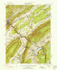

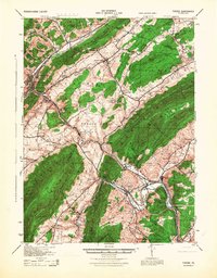
Historical Maps of Frankstown Township Through Time
12 maps found
1923 Tyrone
Blair County, PA
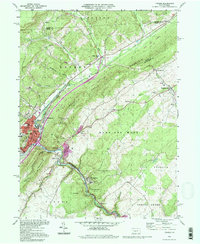
1929 Tyrone
Blair County, PA
1933 Tyrone
Blair County, PA
1946 Tyrone
Blair County, PA
1963 Tyrone
Blair County, PA

1984 Tyrone
Blair County, PA
1994 Tyrone
Blair County, PA
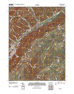
2010 Tyrone
Blair County, PA
2013 Tyrone
Blair County, PA
2016 Tyrone
Blair County, PA
2019 Tyrone
Blair County, PA
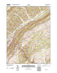
2023 Tyrone
Blair County, PA