2000s (21st Century) Maps of Ephrata Township, Pennsylvania
Explore 15 historic maps of Ephrata Township from the 2000s (21st Century). These maps offer a rare glimpse into what life looked like during the 2000s — showing old roads, neighborhoods, homes, and landmarks that have changed or disappeared over time.
Whether you're researching your family's past, planning a metal detecting trip, or studying how Ephrata Township's landscape evolved across the 2000s, these high-resolution maps are a powerful tool for exploring the history of this region.
- Focus on a specific era: All maps on this page are from the 2000s, giving you a focused view of this time period.
- See what’s changed: Compare century-old streets, trails, and buildings to today's modern landscape using overlays and satellite layers.
- Research with precision: Use these maps for genealogy, historical research, land use analysis, or educational projects.
- View, download, or print: Maps are fully viewable online in high resolution, and can be downloaded or printed for your own records.
Start exploring Ephrata Township's history through authentic maps from the 2000s. This is your window into the past.
Ephrata Township, PA maps
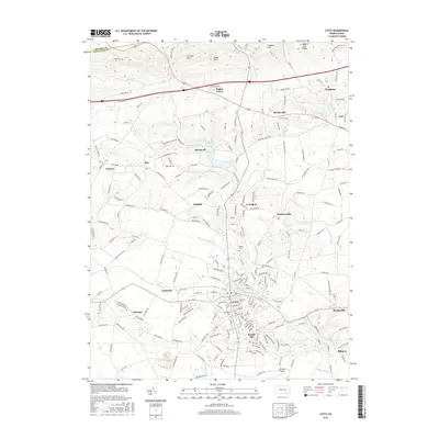
(15)- 2010 Map of Lititz, 2010 Print
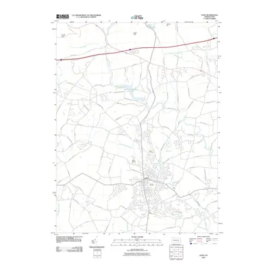 2010 Lititz2010 Print · USGSCovers Ephrata Township, including Lititz, Clay Township, and other nearby areas
 - 2010 Map of Ephrata, 2010 Print
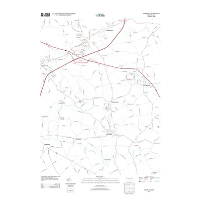
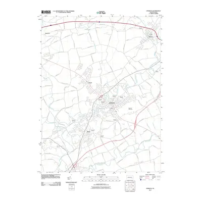 2010 Ephrata2010 Print · USGSCovers Ephrata Township, including Ephrata, Clay Township, and other nearby areas
 - 2010 Map of Terre Hill, 2010 Print
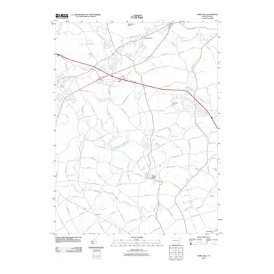 2010 Terre Hill2010 Print · USGSCovers Ephrata Township, including East Earl Township, Adamstown, and other nearby areas
 - 2013 Map of Lititz, 2013 Print
 2013 Lititz2013 Print · USGSCovers Ephrata Township, including Lititz, Clay Township, and other nearby areas
 - 2013 Map of Ephrata, 2013 Print
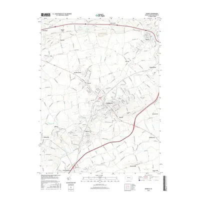
 2013 Ephrata2013 Print · USGSCovers Ephrata Township, including Ephrata, Clay Township, and other nearby areas
 - 2013 Map of Terre Hill, 2013 Print
 2013 Terre Hill2013 Print · USGSCovers Ephrata Township, including East Earl Township, Adamstown, and other nearby areas
 - 2016 Map of Ephrata, 2016 Print
 2016 Ephrata2016 Print · USGSCovers Ephrata Township, including Ephrata, Clay Township, and other nearby areas
 - 2016 Map of Terre Hill, 2016 Print
 2016 Terre Hill2016 Print · USGSCovers Ephrata Township, including East Earl Township, Adamstown, and other nearby areas
 - 2016 Map of Lititz, 2016 Print
 2016 Lititz2016 Print · USGSCovers Ephrata Township, including Lititz, Clay Township, and other nearby areas
 - 2019 Map of Lititz, 2019 Print
 2019 Lititz2019 Print · USGSCovers Ephrata Township, including Lititz, Clay Township, and other nearby areas
 - 2019 Map of Terre Hill, 2019 Print
 2019 Terre Hill2019 Print · USGSCovers Ephrata Township, including East Earl Township, Adamstown, and other nearby areas
 - 2019 Map of Ephrata, 2019 Print
 2019 Ephrata2019 Print · USGSCovers Ephrata Township, including Ephrata, Clay Township, and other nearby areas
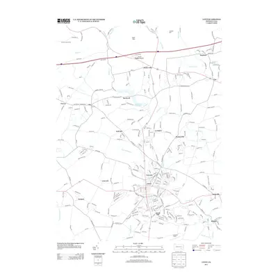
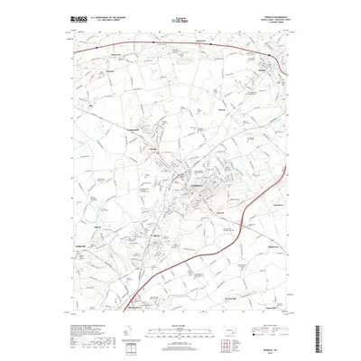
 - 2023 Map of Ephrata, 2023 Print
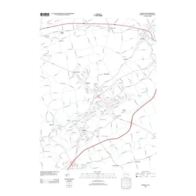
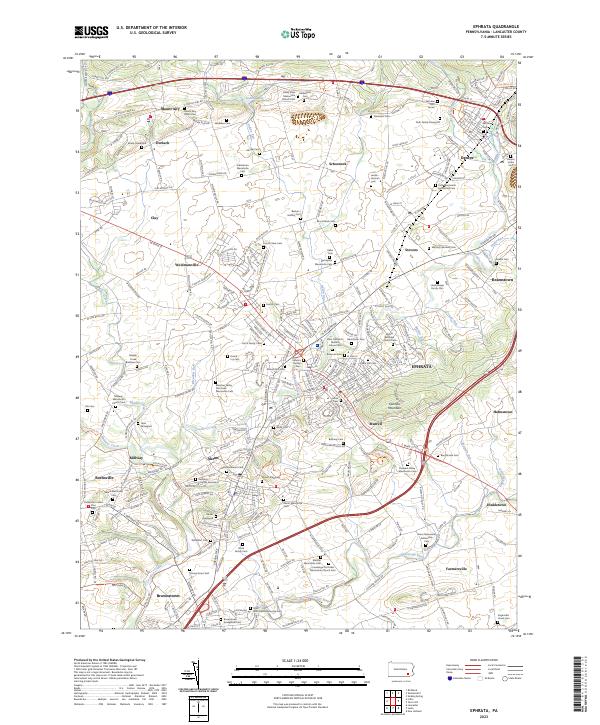 2023 Ephrata2023 Print · USGSLancaster County's Pennsylvania Dutch country is mapped here in the early twenty-first century, showing a landscape defined by religious heritage and the Conestoga River. Researchers can locate dozens of family-named burial grounds and churches, from Brubaker Cem to the Ephrata Cloister Cem.
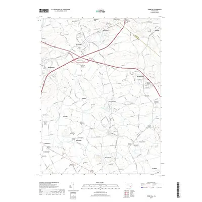
 - 2023 Map of Terre Hill, 2023 Print
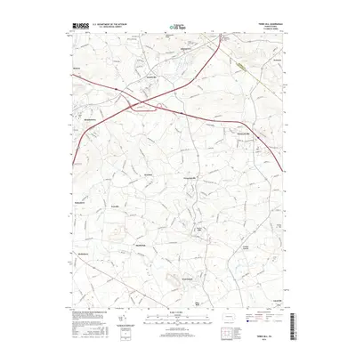
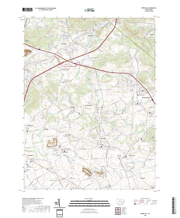 2023 Terre Hill2023 Print · USGSLancaster County's sectarian heartland comes into focus in this recent study of the area between the Conestoga River and Adamstown Ridge. Genealogists can trace family lineages through a remarkable density of local burial sites, including Messner's Grave Yard, Old Welsh Cem, and the Hahnstown United Zion Cem.
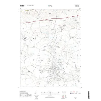
 - 2023 Map of Lititz, 2023 Print
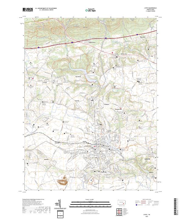 2023 Lititz2023 Print · USGSThe northern Lancaster County heartland appears here in the early twenty-first century, showcasing its unique Moravian and Mennonite roots. Genealogists can trace family names through dozens of burial sites like Steinmetz Cem or the Hess Family Cem.
End of results
Showing maps 1-15 of 15
Top cities near Ephrata Township
- Reading historical maps
- Lancaster historical maps
- Lebanon historical maps
- West Lampeter Township historical maps
- Ephrata historical maps
- Wyomissing historical maps
See more
Top neighborhoods of Ephrata Township
- Hahnstown historical maps
- Springville historical maps
- Frysville historical maps
- Cooperwood Lane historical maps
Frequently asked questions
- What are the different types of historical maps available for Ephrata Township?
- What is the oldest map of Ephrata Township?
- Where can I purchase historical maps of Ephrata Township for my home or office?
- Where can I download high-res historical maps of Ephrata Township?
- Are there historical topographic maps available for Ephrata Township?
- Is there historical aerial imagery available for Ephrata Township?
- Where are historical maps of Ephrata Township sourced from?