2000s (21st Century) Maps of Salisbury Township, Pennsylvania
Explore 20 historic maps of Salisbury Township from the 2000s (21st Century). These maps offer a rare glimpse into what life looked like during the 2000s — showing old roads, neighborhoods, homes, and landmarks that have changed or disappeared over time.
Whether you're researching your family's past, planning a metal detecting trip, or studying how Salisbury Township's landscape evolved across the 2000s, these high-resolution maps are a powerful tool for exploring the history of this region.
- Focus on a specific era: All maps on this page are from the 2000s, giving you a focused view of this time period.
- See what’s changed: Compare century-old streets, trails, and buildings to today's modern landscape using overlays and satellite layers.
- Research with precision: Use these maps for genealogy, historical research, land use analysis, or educational projects.
- View, download, or print: Maps are fully viewable online in high resolution, and can be downloaded or printed for your own records.
Start exploring Salisbury Township's history through authentic maps from the 2000s. This is your window into the past.
Salisbury Township, PA maps
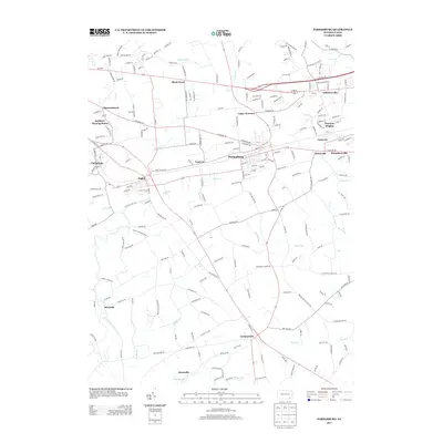
(20)- 2010 Map of Parkesburg, 2010 Print
 2010 Parkesburg2010 Print · USGSCovers Salisbury Township, including Parkesburg, Atglen, and other nearby areas
 - 2010 Map of New Holland, 2010 Print
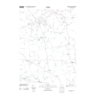
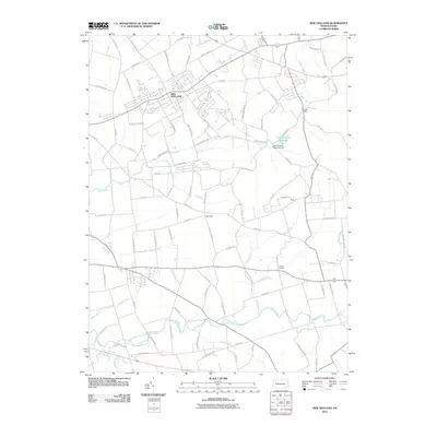 2010 New Holland2010 Print · USGSCovers Salisbury Township, including East Earl Township, New Holland, and other nearby areas
 - 2010 Map of Honey Brook, 2010 Print
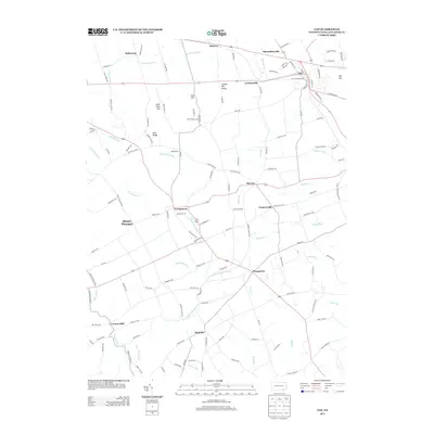
 2010 Honey Brook2010 Print · USGSCovers Salisbury Township, including East Earl Township, Honey Brook, and other nearby areas
 - 2010 Map of Gap, 2010 Print
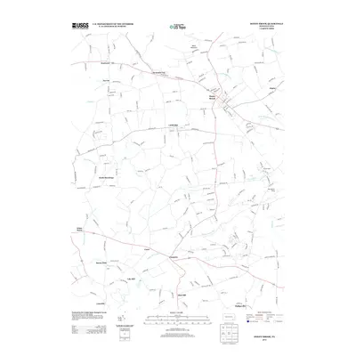
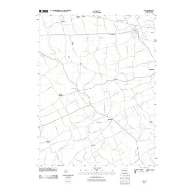 2010 Gap2010 Print · USGSCovers Salisbury Township, including Paradise Township, Bart Township, and other nearby areas
 - 2013 Map of Parkesburg, 2013 Print
 2013 Parkesburg2013 Print · USGSCovers Salisbury Township, including Parkesburg, Atglen, and other nearby areas
 - 2013 Map of Gap, 2013 Print
 2013 Gap2013 Print · USGSCovers Salisbury Township, including Paradise Township, Bart Township, and other nearby areas
 - 2013 Map of Honey Brook, 2013 Print
 2013 Honey Brook2013 Print · USGSCovers Salisbury Township, including East Earl Township, Honey Brook, and other nearby areas
 - 2013 Map of New Holland, 2013 Print
 2013 New Holland2013 Print · USGSCovers Salisbury Township, including East Earl Township, New Holland, and other nearby areas
 - 2016 Map of Gap, 2016 Print
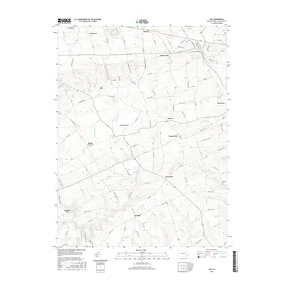 2016 Gap2016 Print · USGSCovers Salisbury Township, including Paradise Township, Bart Township, and other nearby areas
 - 2016 Map of Parkesburg, 2016 Print
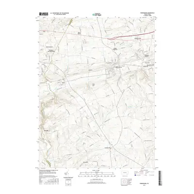 2016 Parkesburg2016 Print · USGSCovers Salisbury Township, including Parkesburg, Atglen, and other nearby areas
 - 2016 Map of New Holland, 2016 Print
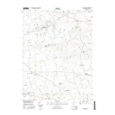 2016 New Holland2016 Print · USGSCovers Salisbury Township, including East Earl Township, New Holland, and other nearby areas
 - 2016 Map of Honey Brook, 2016 Print
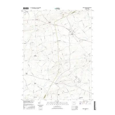 2016 Honey Brook2016 Print · USGSCovers Salisbury Township, including East Earl Township, Honey Brook, and other nearby areas
 - 2019 Map of Parkesburg, 2019 Print
 2019 Parkesburg2019 Print · USGSCovers Salisbury Township, including Parkesburg, Atglen, and other nearby areas
 - 2019 Map of Honey Brook, 2019 Print
 2019 Honey Brook2019 Print · USGSCovers Salisbury Township, including East Earl Township, Honey Brook, and other nearby areas
 - 2019 Map of New Holland, 2019 Print
 2019 New Holland2019 Print · USGSCovers Salisbury Township, including East Earl Township, New Holland, and other nearby areas
 - 2019 Map of Gap, 2019 Print
 2019 Gap2019 Print · USGSCovers Salisbury Township, including Paradise Township, Bart Township, and other nearby areas
 - 2023 Map of Gap, 2023 Print
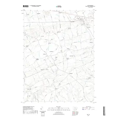
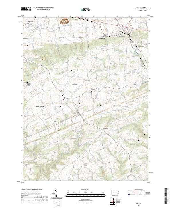 2023 Gap2023 Print · USGSLancaster County's rural heritage is well-preserved in this contemporary survey of the area surrounding Georgetown and Ninepoints. Genealogists can trace deep local roots at sites like Carpenters Graveyard, Brinton Family Burial Ground, and the Nickel Mines Episcopal Cem.
 - 2023 Map of Parkesburg, 2023 Print
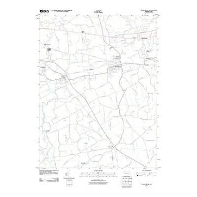
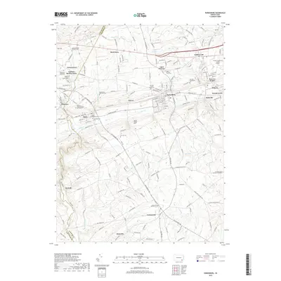
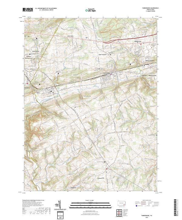 2023 Parkesburg2023 Print · USGSThe Chester and Lancaster County borderlands are captured here in the early twenty-first century. Genealogists can trace family names and burial sites at the Sadsbury Friends Burial Ground, Atglen Methodist Cem, and the Upper Octoraro Church Cem.
 - 2023 Map of Honey Brook, 2023 Print
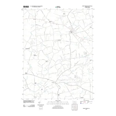
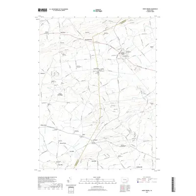
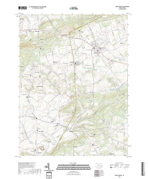 2023 Honey Brook2023 Print · USGSThe Pequea Valley and the ridges of the Welsh Mountains appear here in modern detail along the Lancaster and Chester county line. Genealogists can trace decades of local heritage through sites like Gault Graveyard, Amish Cem, and Saint Johns Episcopal Church Cem.
 - 2023 Map of New Holland, 2023 Print
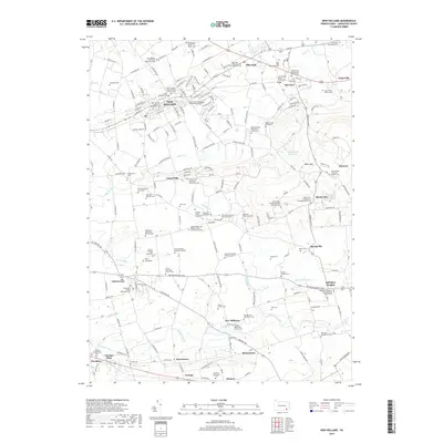
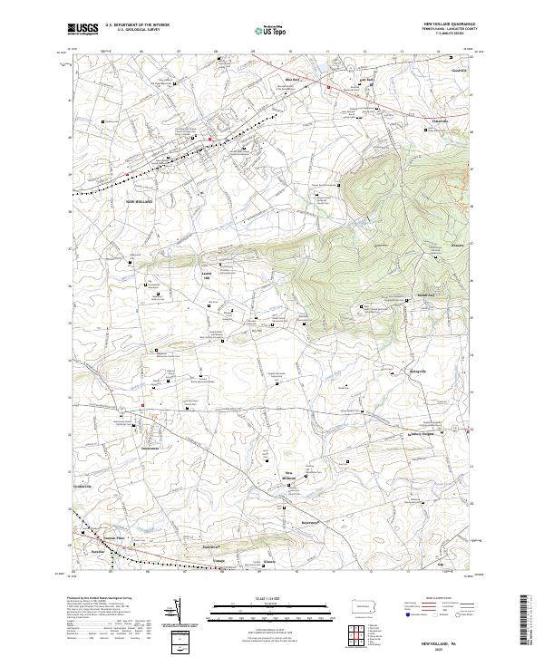 2023 New Holland2023 Print · USGSLancaster County's agricultural heartland is documented here in recent years, showing the enduring settlement patterns of Pennsylvania Dutch country. Genealogists can locate family landmarks such as the Dague Family Graveyard and Stoltzfus Cem near Intercourse and New Milltown.
End of results
Showing maps 1-20 of 20
Top cities near Salisbury Township
- West Lampeter Township historical maps
- Coatesville historical maps
- Ephrata historical maps
- Caln Township historical maps
- New Garden Township historical maps
- East Earl Township historical maps
See more
Top neighborhoods of Salisbury Township
- Salisbury Heights historical maps
- White Horse historical maps
- Buena Vista historical maps
- Cambridge historical maps
- Limeville historical maps
- Meadville historical maps
See more
Frequently asked questions
- What are the different types of historical maps available for Salisbury Township?
- What is the oldest map of Salisbury Township?
- Where can I purchase historical maps of Salisbury Township for my home or office?
- Where can I download high-res historical maps of Salisbury Township?
- Are there historical topographic maps available for Salisbury Township?
- Is there historical aerial imagery available for Salisbury Township?
- Where are historical maps of Salisbury Township sourced from?