2000s (21st Century) Maps of West Hempfield Township, Pennsylvania
Explore 10 historic maps of West Hempfield Township from the 2000s (21st Century). These maps offer a rare glimpse into what life looked like during the 2000s — showing old roads, neighborhoods, homes, and landmarks that have changed or disappeared over time.
Whether you're researching your family's past, planning a metal detecting trip, or studying how West Hempfield Township's landscape evolved across the 2000s, these high-resolution maps are a powerful tool for exploring the history of this region.
- Focus on a specific era: All maps on this page are from the 2000s, giving you a focused view of this time period.
- See what’s changed: Compare century-old streets, trails, and buildings to today's modern landscape using overlays and satellite layers.
- Research with precision: Use these maps for genealogy, historical research, land use analysis, or educational projects.
- View, download, or print: Maps are fully viewable online in high resolution, and can be downloaded or printed for your own records.
Start exploring West Hempfield Township's history through authentic maps from the 2000s. This is your window into the past.
West Hempfield Township, PA maps
(10)- 2010 Map of Columbia West, 2010 Print
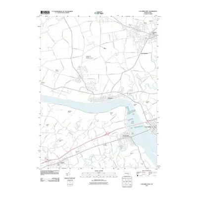 2010 Columbia West2010 Print · USGSCovers West Hempfield Township, including Columbia, Mount Joy, and other nearby areas
 - 2010 Map of Columbia East, 2010 Print
 2010 Columbia East2010 Print · USGSCovers West Hempfield Township, including Mount Joy, Mountville, and other nearby areas
 - 2013 Map of Columbia East, 2013 Print
 2013 Columbia East2013 Print · USGSCovers West Hempfield Township, including Mount Joy, Mountville, and other nearby areas
 - 2013 Map of Columbia West, 2013 Print
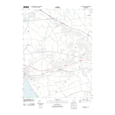
 2013 Columbia West2013 Print · USGSCovers West Hempfield Township, including Columbia, Mount Joy, and other nearby areas
 - 2016 Map of Columbia East, 2016 Print
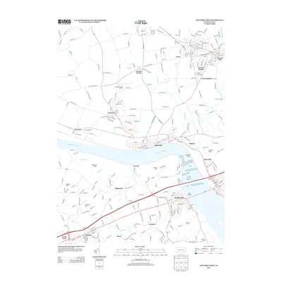
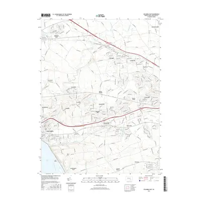 2016 Columbia East2016 Print · USGSCovers West Hempfield Township, including Mount Joy, Mountville, and other nearby areas
 - 2016 Map of Columbia West, 2016 Print
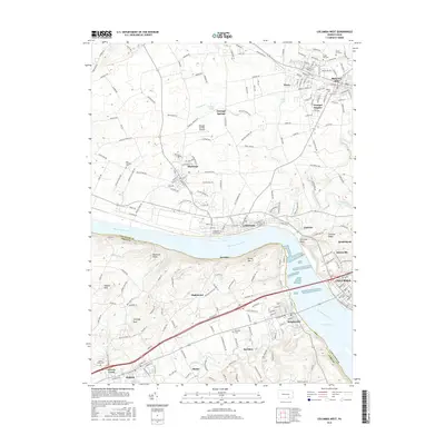 2016 Columbia West2016 Print · USGSCovers West Hempfield Township, including Columbia, Mount Joy, and other nearby areas
 - 2019 Map of Columbia East, 2019 Print
 2019 Columbia East2019 Print · USGSCovers West Hempfield Township, including Mount Joy, Mountville, and other nearby areas
 - 2019 Map of Columbia West, 2019 Print
 2019 Columbia West2019 Print · USGSCovers West Hempfield Township, including Columbia, Mount Joy, and other nearby areas
 - 2023 Map of Columbia East, 2023 Print
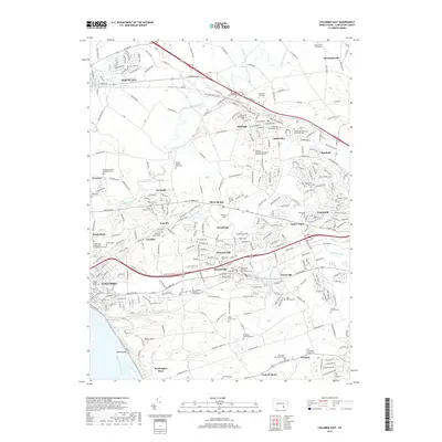
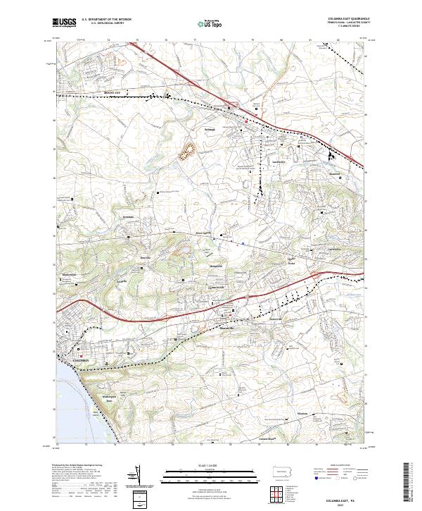 2023 Columbia East2023 Print · USGSThe heart of Pennsylvania Dutch country is documented here in the early twenty-first century, spanning from the river at Columbia to the northern borough of Mount Joy. Researchers can pinpoint family-named landmarks and quiet burial grounds such as the Musselman Minich Cem and Habecker Mennonite Cem.
 - 2023 Map of Columbia West, 2023 Print
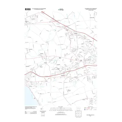
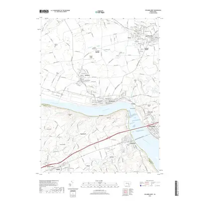
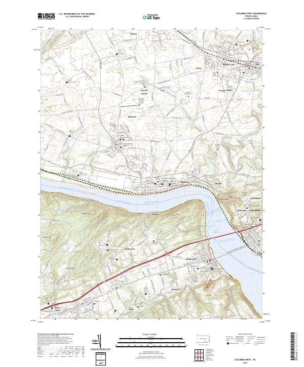 2023 Columbia West2023 Print · USGSThe riverfront corridor of the Susquehanna near Marietta and Mount Joy is captured in detail during the early 2020s. Trace local family history at Donegal Presbyterian Church or explore the rugged river bluffs at Chickies Rock.
End of results
Showing maps 1-10 of 10
Top cities near West Hempfield Township
- Lancaster historical maps
- West Lampeter Township historical maps
- Hershey historical maps
- Elizabethtown historical maps
- Columbia historical maps
- Lititz historical maps
See more
Top neighborhoods of West Hempfield Township
- Silver Spring historical maps
- Chestnut Hill historical maps
- Farmdale historical maps
- Hempfield historical maps
- Klinesville historical maps
- Ironville historical maps
See more
Frequently asked questions
- What are the different types of historical maps available for West Hempfield Township?
- What is the oldest map of West Hempfield Township?
- Where can I purchase historical maps of West Hempfield Township for my home or office?
- Where can I download high-res historical maps of West Hempfield Township?
- Are there historical topographic maps available for West Hempfield Township?
- Is there historical aerial imagery available for West Hempfield Township?
- Where are historical maps of West Hempfield Township sourced from?