Old Maps of West Hempfield Township, Pennsylvania for Academic Research
Study the evolution of West Hempfield Township with 26 high-resolution historic maps. Whether you're teaching, researching, or modeling changes in land use, these maps provide essential visual documentation of urban, environmental, and geographic change.
- Analyze long-term change: Track patterns in development, transportation, and natural features.
- Ideal for environmental or urban studies: Support academic projects with primary historical map data.
- Use in the classroom or lab: Educators and researchers rely on these maps to bring historical context to life.
These maps are a powerful tool for teaching, research, and visualizing how West Hempfield Township has changed over the decades.
West Hempfield Township, PA maps
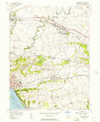
(26)- 1902 Map of Lancaster, 1956 Print
 1902 Lancaster1956 Print · USGSLancaster County at the opening of the twentieth century shows a landscape defined by iron furnaces, milling, and a sophisticated network of electric railways. Genealogists and historians can trace the paths of the New Holland Electric or locate family sites near Gevers Mill and Elizabeth Furnace.
 - 1904 Map of Lancaster
 1904 Lancaster1904 Print · USGSLancaster and its surrounding townships thrive at the turn of the century, depicted here through a complex web of trolley lines and steam railroads. Genealogists can trace family homesteads near old crossroads like Mastersonville or locate early industrial sites at Mount Hope and Geyers Mill.10 unique versions available
 - 1908 Map of Middletown
 1908 Middletown1908 Print · USGSThe Susquehanna River corridor thrives in the early 1900s as a hub for the Pennsylvania Railroad and the burgeoning industry of Lancaster and Dauphin counties. Researchers can trace the path of the Pennsylvania Canal (Abandoned) and locate family-named landmarks like Shocks Mills or Hoffer Church.7 unique versions available
 - 1943 Map of Lancaster
 1943 Lancaster1943 Print · USGSLancaster County at the height of the second World War reveals a landscape defined by bustling rail hubs and thriving farm villages. Genealogists and historians can trace family roots through numerous small hamlets like Brunnerville, industrial sites at Elizabeth Furnace Gap, and recreation spots like Rocky Spring Park.
 - 1943 Map of Middletown
 1943 Middletown1943 Print · USGSAs World War II mobilization reached its peak, this survey captures the Susquehanna River corridor as a vital industrial and rail artery. Genealogists and researchers can trace family landmarks like Donegal Springs Church, Codorus Furnace, and the early layout of Three Mile Island.
 - 1950 Map of Harrisburg, 1952 Print
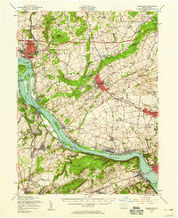
 1950 Harrisburg1952 Print · USGSMid-century Central Pennsylvania comes alive through its dense rail networks and river valley settlements during the post-war industrial era. Genealogists and historians can trace family roots through hubs like Harrisburg, locate Carlisle Barracks, or follow the Pennsylvania RR through the Lebanon Valley.
 - 1956 Map of Columbia East, 1957 Print
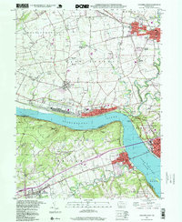
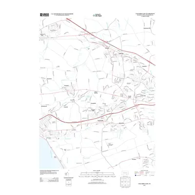
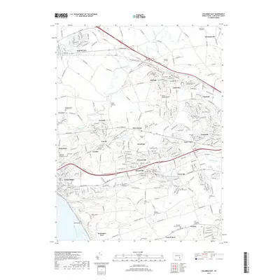
 1956 Columbia East1957 Print · USGSLancaster County's industrial and rural crossroads are captured here in the mid-fifties, showing the heavy rail influence on local growth. Trace family roots and vanished landmarks like McGuinness Airport, St Josephs Academy, and the village of Silver Spring.5 unique versions available
 - 1956 Map of Middletown, 1959 Print
 1956 Middletown1959 Print · USGSThe Susquehanna River corridor bustles with Cold War-era industry and riverside life in the mid-1950s. Genealogists and local researchers can trace family landmarks like Shenks Cem, identify regional education hubs such as Elizabethville College, or locate the sprawling Olmsted AFB.2 unique versions available
 - 1957 Map of Harrisburg
 1957 Harrisburg1957 Print · USGSMid-century Central Pennsylvania comes into focus as a bustling network of rail, river, and mountain ridges. Genealogists and historians can trace the development of the State Capitol and surrounding hubs like Middletown, Columbia, and Pottsville.7 unique versions available
 - 1961 Map of Harrisburg
 1961 Harrisburg1961 Print · USGSCentral Pennsylvania is shown at a mid-century peak of industrial and military activity, from the Susquehanna water gaps to the fertile Dutch Country. Genealogists and historians can trace the rail corridors of the Pennsylvania RR and find landmarks like Carlisle Barracks or the Anthracite Coal Fields.2 unique versions available
 - 1964 Map of Harrisburg
 1964 Harrisburg1964 Print · USGSCentral Pennsylvania in the mid-fifties reveals a landscape shaped by ridge-and-valley geology and critical Cold War infrastructure. Researchers can trace the massive Indiantown Gap Military Reservation or the rail corridors of the Pennsylvania RR and Reading RR.
 - 1964 Map of Columbia West, 1965 Print
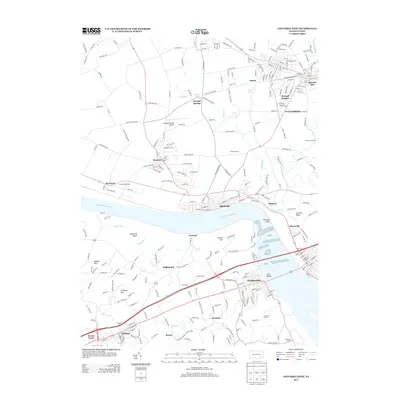
 1964 Columbia West1965 Print · USGSThe Susquehanna River corridor thrives in the mid-sixties, showing the industrial and military footprint of the Marietta Air Force Station. Researchers can trace old family names and sites at Donegal Ch, Eberly Cem, and Lauxmont Farms.5 unique versions available
 - 1984 Map of Harrisburg, 1985 Print
 1984 Harrisburg1985 Print · USGSCentral Pennsylvania in the mid-eighties shows a landscape defined by the winding Susquehanna River and the industrial growth of its river towns. Researchers can trace the rail corridors of Amtrak and Conrail or explore the bounds of Fort Indiantown Gap Military Reservation.2 unique versions available
 - 1995 Map of Columbia East, 1996 Print
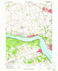
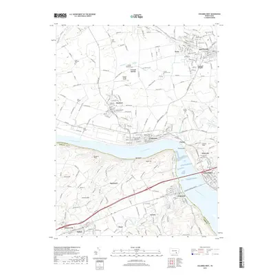
 1995 Columbia East1996 Print · USGSThe Susquehanna River shoreline near Columbia was a hub of transit and community in the mid-1990s. Genealogists and local historians can trace family-named sites and vanished landmarks like Bruckarts Station, Habecker Ch, and Metzgers Indian Cave.
 - 1997 Map of Columbia West, 1999 Print
 1997 Columbia West1999 Print · USGSThe Susquehanna River corridor thrives in the late nineties as a hub of rail activity and riverfront industry between Lancaster and York. Genealogists can locate family landmarks like Eberly Cem, Donegal Springs, and schools such as Kraybill Sch.
 - 1997 Map of Columbia East, 2000 Print
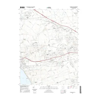
 1997 Columbia East2000 Print · USGSLancaster County at the end of the century reveals a landscape of growing boroughs and deep-rooted rural landmarks between the river and the hills. Researchers can trace family sites at Habecker Ch, locate Bruckarts Station, or explore the riverfront at COLUMBIA.
 - 2010 Map of Columbia West, 2010 Print
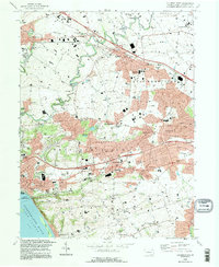
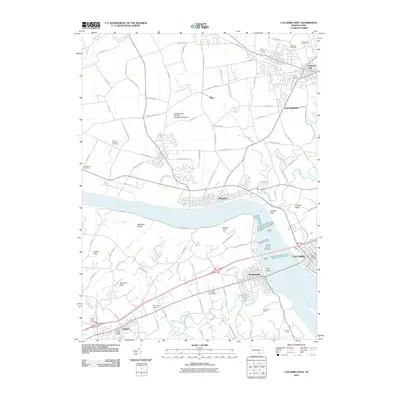 2010 Columbia West2010 Print · USGSCovers West Hempfield Township, including Columbia, Mount Joy, and other nearby areas
 - 2010 Map of Columbia East, 2010 Print
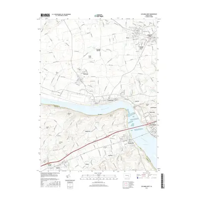
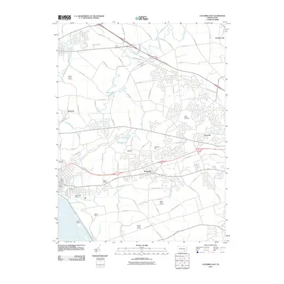 2010 Columbia East2010 Print · USGSCovers West Hempfield Township, including Mount Joy, Mountville, and other nearby areas
 - 2013 Map of Columbia East, 2013 Print
 2013 Columbia East2013 Print · USGSCovers West Hempfield Township, including Mount Joy, Mountville, and other nearby areas
 - 2013 Map of Columbia West, 2013 Print
 2013 Columbia West2013 Print · USGSCovers West Hempfield Township, including Columbia, Mount Joy, and other nearby areas
 - 2016 Map of Columbia East, 2016 Print
 2016 Columbia East2016 Print · USGSCovers West Hempfield Township, including Mount Joy, Mountville, and other nearby areas
 - 2016 Map of Columbia West, 2016 Print
 2016 Columbia West2016 Print · USGSCovers West Hempfield Township, including Columbia, Mount Joy, and other nearby areas
 - 2019 Map of Columbia East, 2019 Print
 2019 Columbia East2019 Print · USGSCovers West Hempfield Township, including Mount Joy, Mountville, and other nearby areas
 - 2019 Map of Columbia West, 2019 Print
 2019 Columbia West2019 Print · USGSCovers West Hempfield Township, including Columbia, Mount Joy, and other nearby areas
 - 2023 Map of Columbia East, 2023 Print
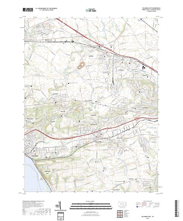 2023 Columbia East2023 Print · USGSThe heart of Pennsylvania Dutch country is documented here in the early twenty-first century, spanning from the river at Columbia to the northern borough of Mount Joy. Researchers can pinpoint family-named landmarks and quiet burial grounds such as the Musselman Minich Cem and Habecker Mennonite Cem.
Showing maps 1-25 of 26
Top cities near West Hempfield Township
- Lancaster historical maps
- West Lampeter Township historical maps
- Hershey historical maps
- Elizabethtown historical maps
- Columbia historical maps
- Lititz historical maps
See more
Top neighborhoods of West Hempfield Township
- Silver Spring historical maps
- Chestnut Hill historical maps
- Farmdale historical maps
- Hempfield historical maps
- Klinesville historical maps
- Ironville historical maps
See more
Frequently asked questions
- What are the different types of historical maps available for West Hempfield Township?
- What is the oldest map of West Hempfield Township?
- Where can I purchase historical maps of West Hempfield Township for my home or office?
- Where can I download high-res historical maps of West Hempfield Township?
- Are there historical topographic maps available for West Hempfield Township?
- Is there historical aerial imagery available for West Hempfield Township?
- Where are historical maps of West Hempfield Township sourced from?