2000s (21st Century) Maps of Cold Spring Township, Pennsylvania
Explore 20 historic maps of Cold Spring Township from the 2000s (21st Century). These maps offer a rare glimpse into what life looked like during the 2000s — showing old roads, neighborhoods, homes, and landmarks that have changed or disappeared over time.
Whether you're researching your family's past, planning a metal detecting trip, or studying how Cold Spring Township's landscape evolved across the 2000s, these high-resolution maps are a powerful tool for exploring the history of this region.
- Focus on a specific era: All maps on this page are from the 2000s, giving you a focused view of this time period.
- See what’s changed: Compare century-old streets, trails, and buildings to today's modern landscape using overlays and satellite layers.
- Research with precision: Use these maps for genealogy, historical research, land use analysis, or educational projects.
- View, download, or print: Maps are fully viewable online in high resolution, and can be downloaded or printed for your own records.
Start exploring Cold Spring Township's history through authentic maps from the 2000s. This is your window into the past.
Cold Spring Township, PA maps
(20)- 2010 Map of Lykens, 2010 Print
 2010 Lykens2010 Print · USGSCovers Cold Spring Township, including Hegins Township, Lykens, and other nearby areas
 - 2010 Map of Grantville, 2010 Print
 2010 Grantville2010 Print · USGSCovers Cold Spring Township, including East Hanover Township, East Hanover Township, and other nearby areas
 - 2010 Map of Indiantown Gap, 2010 Print
 2010 Indiantown Gap2010 Print · USGSCovers Cold Spring Township, including East Hanover Township, North Annville Township, and other nearby areas
 - 2010 Map of Tower City, 2010 Print
 2010 Tower City2010 Print · USGSCovers Cold Spring Township, including Hegins Township, Williamstown, and other nearby areas
 - 2013 Map of Tower City, 2013 Print
 2013 Tower City2013 Print · USGSCovers Cold Spring Township, including Hegins Township, Williamstown, and other nearby areas
 - 2013 Map of Lykens, 2013 Print
 2013 Lykens2013 Print · USGSCovers Cold Spring Township, including Hegins Township, Lykens, and other nearby areas
 - 2013 Map of Grantville, 2013 Print
 2013 Grantville2013 Print · USGSCovers Cold Spring Township, including East Hanover Township, East Hanover Township, and other nearby areas
 - 2013 Map of Indiantown Gap, 2013 Print
 2013 Indiantown Gap2013 Print · USGSCovers Cold Spring Township, including East Hanover Township, North Annville Township, and other nearby areas
 - 2016 Map of Tower City, 2016 Print
 2016 Tower City2016 Print · USGSCovers Cold Spring Township, including Hegins Township, Williamstown, and other nearby areas
 - 2016 Map of Indiantown Gap, 2016 Print
 2016 Indiantown Gap2016 Print · USGSCovers Cold Spring Township, including East Hanover Township, North Annville Township, and other nearby areas
 - 2016 Map of Lykens, 2016 Print
 2016 Lykens2016 Print · USGSCovers Cold Spring Township, including Hegins Township, Lykens, and other nearby areas
 - 2016 Map of Grantville, 2016 Print
 2016 Grantville2016 Print · USGSCovers Cold Spring Township, including East Hanover Township, East Hanover Township, and other nearby areas
 - 2019 Map of Tower City, 2019 Print
 2019 Tower City2019 Print · USGSCovers Cold Spring Township, including Hegins Township, Williamstown, and other nearby areas
 - 2019 Map of Lykens, 2019 Print
 2019 Lykens2019 Print · USGSCovers Cold Spring Township, including Hegins Township, Lykens, and other nearby areas
 - 2019 Map of Grantville, 2019 Print
 2019 Grantville2019 Print · USGSCovers Cold Spring Township, including East Hanover Township, East Hanover Township, and other nearby areas
 - 2019 Map of Indiantown Gap, 2019 Print
 2019 Indiantown Gap2019 Print · USGSCovers Cold Spring Township, including East Hanover Township, North Annville Township, and other nearby areas
 - 2023 Map of Grantville, 2023 Print
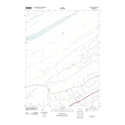
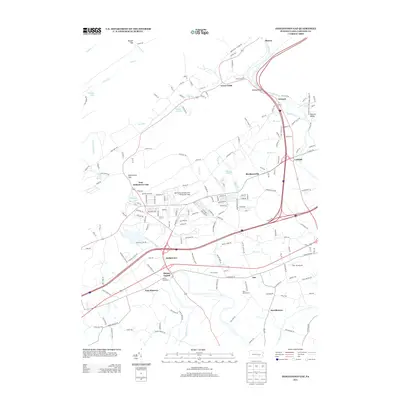
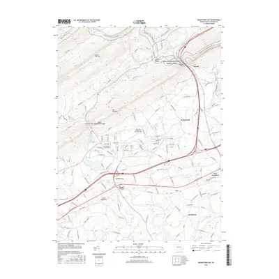
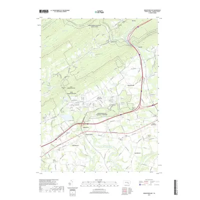
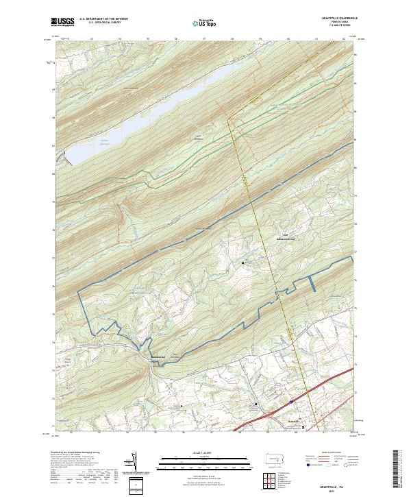 2023 Grantville2023 Print · USGSThe ridges of Dauphin and Lebanon counties are captured here in the early twenty-first century, showing the intersection of military lands and mountain recreation. Researchers can locate family sites at Old Hanover Presbyterian Churchyard or trace the Stony Valley Railroad Grade Trl.
 - 2023 Map of Indiantown Gap, 2023 Print
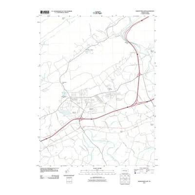
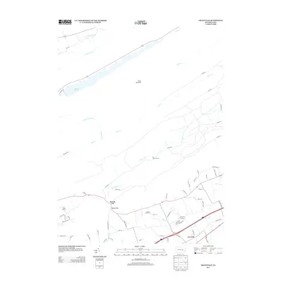
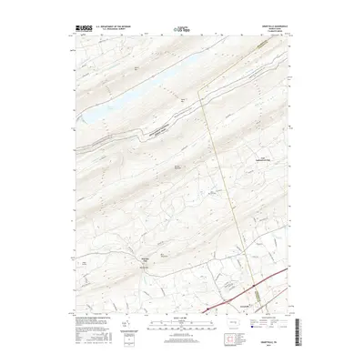
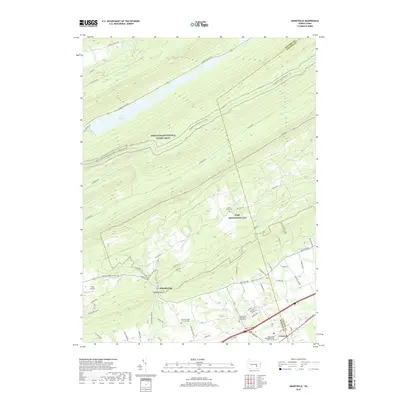
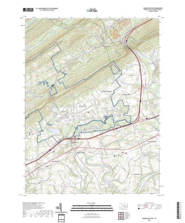 2023 Indiantown Gap2023 Print · USGSThe military installations and historic gaps of Lebanon County come into focus in the early 2020s, revealing a landscape shaped by the Union Canal and the Appalachian National Scenic Trail. Genealogists can locate family sites at Moonshine Cemetery or trace the old roads connecting Harper Tavern and Bordnersville.
 - 2023 Map of Tower City, 2023 Print
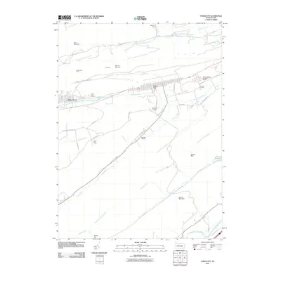
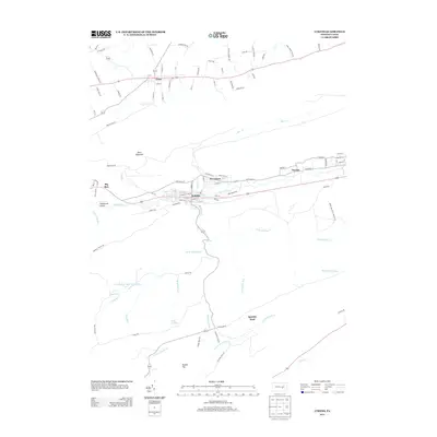
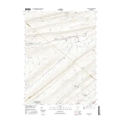
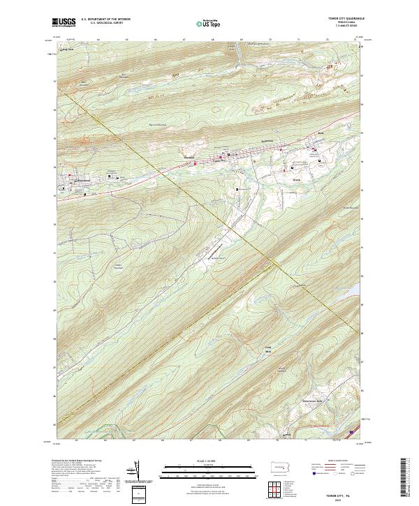 2023 Tower City2023 Print · USGSThe northern anthracite region comes to life in this detailed survey of the valley between Big Lick Mountain and Peters Mountain. Genealogists and local historians can trace the foundations of Tower City and Williamstown, locating local landmarks like the Sacred Heart Cem and the Gold Mine.
 - 2023 Map of Lykens, 2023 Print
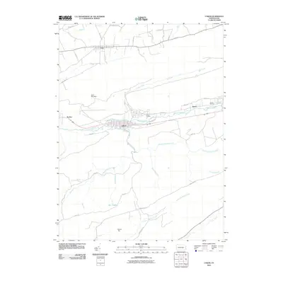
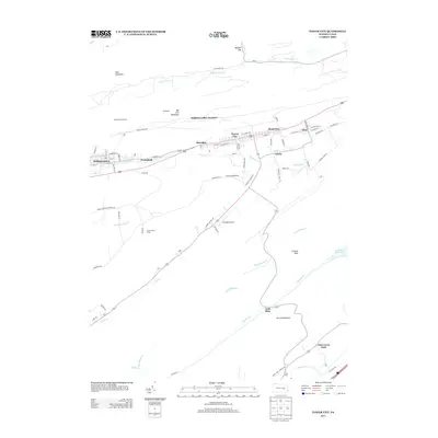
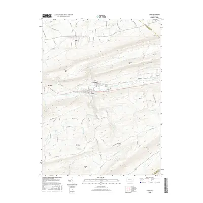
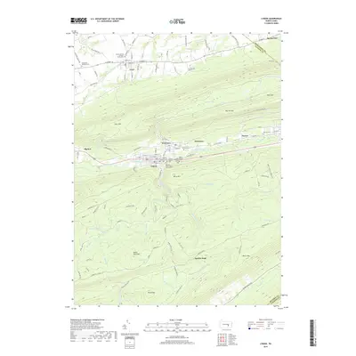
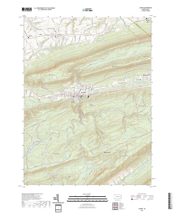 2023 Lykens2023 Print · USGSDauphin County communities like Lykens and Williamstown sit at the base of the anthracite ridges in this modern survey. Genealogists can locate several historic burial sites, including the Odd Fellows Cem and Patriotic Order Sons of America Cem.
End of results
Showing maps 1-20 of 20
Top cities near Cold Spring Township
- Lebanon historical maps
- Colonial Park historical maps
- Hershey historical maps
- Palmyra historical maps
- Linglestown historical maps
- North Cornwall historical maps
See more
Top neighborhoods of Cold Spring Township
Frequently asked questions
- What are the different types of historical maps available for Cold Spring Township?
- What is the oldest map of Cold Spring Township?
- Where can I purchase historical maps of Cold Spring Township for my home or office?
- Where can I download high-res historical maps of Cold Spring Township?
- Are there historical topographic maps available for Cold Spring Township?
- Is there historical aerial imagery available for Cold Spring Township?
- Where are historical maps of Cold Spring Township sourced from?