2000s (21st Century) Maps of Jackson Township, Pennsylvania
Explore 20 historic maps of Jackson Township from the 2000s (21st Century). These maps offer a rare glimpse into what life looked like during the 2000s — showing old roads, neighborhoods, homes, and landmarks that have changed or disappeared over time.
Whether you're researching your family's past, planning a metal detecting trip, or studying how Jackson Township's landscape evolved across the 2000s, these high-resolution maps are a powerful tool for exploring the history of this region.
- Focus on a specific era: All maps on this page are from the 2000s, giving you a focused view of this time period.
- See what’s changed: Compare century-old streets, trails, and buildings to today's modern landscape using overlays and satellite layers.
- Research with precision: Use these maps for genealogy, historical research, land use analysis, or educational projects.
- View, download, or print: Maps are fully viewable online in high resolution, and can be downloaded or printed for your own records.
Start exploring Jackson Township's history through authentic maps from the 2000s. This is your window into the past.
Jackson Township, PA maps
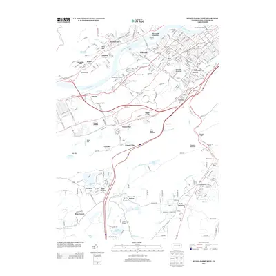
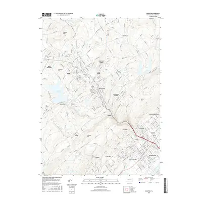
(20)- 2010 Map of Kingston, 2010 Print
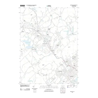 2010 Kingston2010 Print · USGSCovers Jackson Township, including Wilkes-Barre, Kingston, and other nearby areas
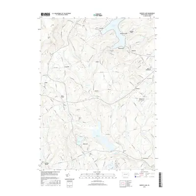
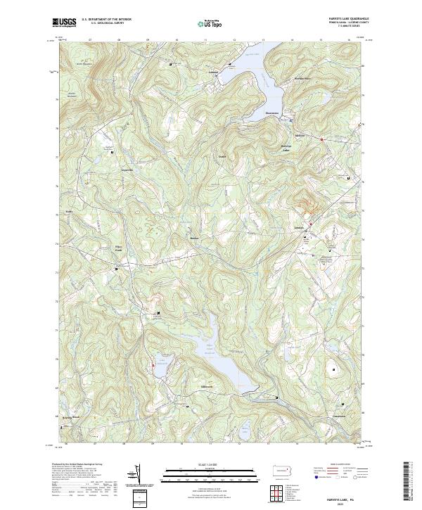
 - 2010 Map of Harveys Lake, 2010 Print
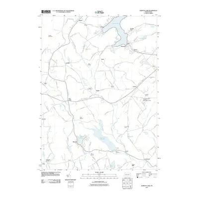 2010 Harveys Lake2010 Print · USGSCovers Jackson Township, including Dallas Township, Lehman Township, and other nearby areas
 - 2010 Map of Nanticoke, 2010 Print
 2010 Nanticoke2010 Print · USGSCovers Jackson Township, including Nanticoke, Lehman Township, and other nearby areas
 - 2010 Map of Wilkes-Barre West, 2010 Print
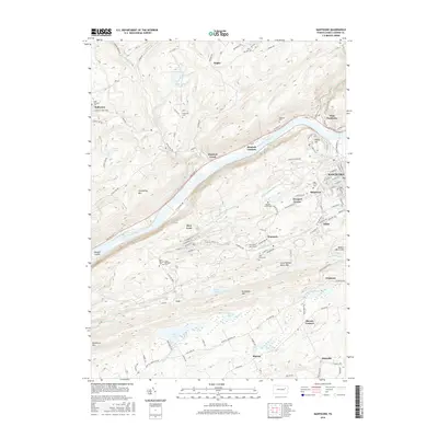
 2010 Wilkes-Barre West2010 Print · USGSCovers Jackson Township, including Wilkes-Barre, Nanticoke, and other nearby areas
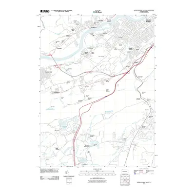
 - 2013 Map of Wilkes-Barre West, 2013 Print
 2013 Wilkes-Barre West2013 Print · USGSCovers Jackson Township, including Wilkes-Barre, Nanticoke, and other nearby areas
 - 2013 Map of Kingston, 2013 Print
 2013 Kingston2013 Print · USGSCovers Jackson Township, including Wilkes-Barre, Kingston, and other nearby areas
 - 2013 Map of Harveys Lake, 2013 Print
 2013 Harveys Lake2013 Print · USGSCovers Jackson Township, including Dallas Township, Lehman Township, and other nearby areas
 - 2013 Map of Nanticoke, 2013 Print
 2013 Nanticoke2013 Print · USGSCovers Jackson Township, including Nanticoke, Lehman Township, and other nearby areas
 - 2016 Map of Wilkes-Barre West, 2016 Print
 2016 Wilkes-Barre West2016 Print · USGSCovers Jackson Township, including Wilkes-Barre, Nanticoke, and other nearby areas
 - 2016 Map of Kingston, 2016 Print
 2016 Kingston2016 Print · USGSCovers Jackson Township, including Wilkes-Barre, Kingston, and other nearby areas
 - 2016 Map of Harveys Lake, 2016 Print
 2016 Harveys Lake2016 Print · USGSCovers Jackson Township, including Dallas Township, Lehman Township, and other nearby areas
 - 2016 Map of Nanticoke, 2016 Print
 2016 Nanticoke2016 Print · USGSCovers Jackson Township, including Nanticoke, Lehman Township, and other nearby areas
 - 2019 Map of Nanticoke, 2019 Print
 2019 Nanticoke2019 Print · USGSCovers Jackson Township, including Nanticoke, Lehman Township, and other nearby areas
 - 2019 Map of Harveys Lake, 2019 Print
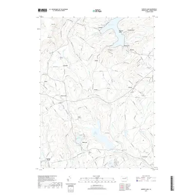 2019 Harveys Lake2019 Print · USGSCovers Jackson Township, including Dallas Township, Lehman Township, and other nearby areas
 - 2019 Map of Kingston, 2019 Print
 2019 Kingston2019 Print · USGSCovers Jackson Township, including Wilkes-Barre, Kingston, and other nearby areas
 - 2019 Map of Wilkes-Barre West, 2019 Print
 2019 Wilkes-Barre West2019 Print · USGSCovers Jackson Township, including Wilkes-Barre, Nanticoke, and other nearby areas
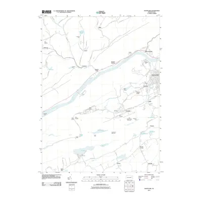
 - 2023 Map of Harveys Lake, 2023 Print
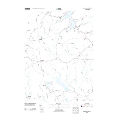
 2023 Harveys Lake2023 Print · USGSHarveys Lake and the surrounding Back Mountain communities are captured in this recent survey of the Luzerne County highlands. Researchers can trace family history through numerous burial sites like Lehman Center Cem and Saint Anns Cem, or locate the Pennsylvania State University Wilkes-Barre campus.
 - 2023 Map of Nanticoke, 2023 Print
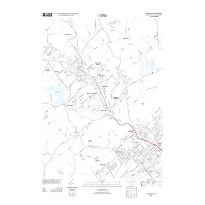
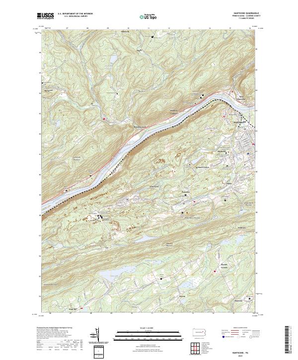 2023 Nanticoke2023 Print · USGSLuzerne County's industrial river valley and ridge-top hamlets are documented here in detail, showcasing the region's dense network of ethnic settlements. Genealogists can trace family histories through numerous parochial sites like the Italian Independent Cem and Saint Stanislaus Orphanage Cem.
 - 2023 Map of Kingston, 2023 Print
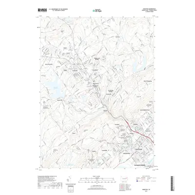
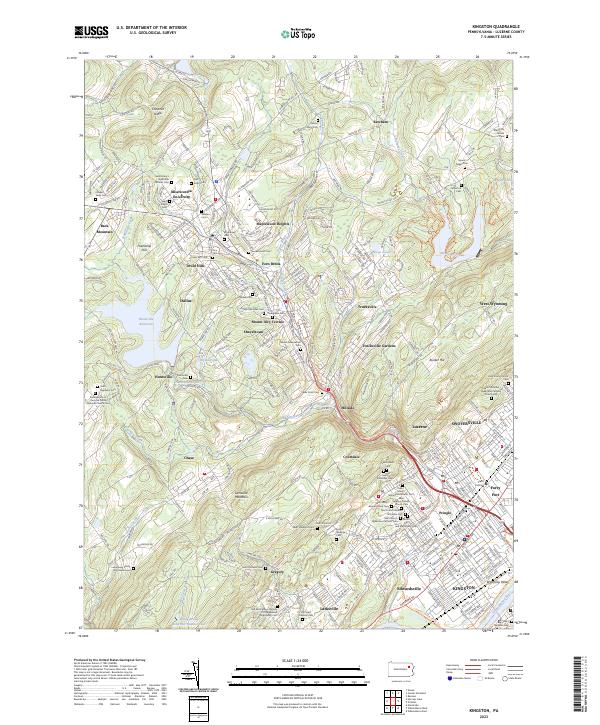 2023 Kingston2023 Print · USGSThe Wyoming Valley and Back Mountain regions are captured here in the early twenty-first century as suburban growth meets long-standing religious landmarks. Genealogists can locate family sites like the Lamoreaux Family Burying Ground or churches such as Saint John's Russian Orthodox Cem.
 - 2023 Map of Wilkes-Barre West, 2023 Print
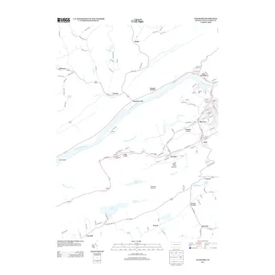
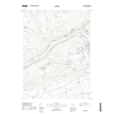
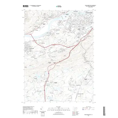
 2023 Wilkes-Barre West2023 Print · USGSThe Wyoming Valley comes into sharp focus in this recent survey of the Luzerne County riverfront. Researchers can trace the layout of historic borough centers and dozens of cemeteries, from the Shawnee Cem in Plymouth to the Davenport Burying Ground.
End of results
Showing maps 1-20 of 20
Top cities near Jackson Township
- Wilkes-Barre historical maps
- Kingston historical maps
- Nanticoke historical maps
- Plains Township historical maps
- Dallas Township historical maps
- Pittston historical maps
See more
Top neighborhoods of Jackson Township
Frequently asked questions
- What are the different types of historical maps available for Jackson Township?
- What is the oldest map of Jackson Township?
- Where can I purchase historical maps of Jackson Township for my home or office?
- Where can I download high-res historical maps of Jackson Township?
- Are there historical topographic maps available for Jackson Township?
- Is there historical aerial imagery available for Jackson Township?
- Where are historical maps of Jackson Township sourced from?