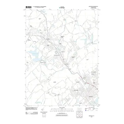
2010 Map of Kingston
USGS Topo · Published 2010About this map
Kingston and the surrounding communities of the Wyoming Valley sit along the western bank of the Susquehanna River in this detailed 2010 topographic record. The landscape is defined by the contrast between the dense residential corridors of Edwardsville, Luzerne, and Forty Fort and the prominent rising terrain of Larksville Mountain and Back Mountain to the west. Water management is a primary theme of the geography, evidenced by the Huntsville Reservoir, Frances Slocum Lake, and several smaller impoundments like Posten Pond and Lake Renee Dam.
Find a feature on this map
119 named features on this map. Tap any name to fly to it.
Don’t see what you’re looking for? This feature index may not catch every label — zoom into the map to look around manually.
Map Details
Editions of this 2010 Kingston Map
This is the sole edition of this map. No revisions or reprints were ever made.
Other maps of this area

1891 · Wilkesbarre
USGS Topo · 1:62,500

1891 · Harveys Lake
USGS Topo · 1:62,500

1893 · Harvey Lake
USGS Topo · 1:62,500

1893 · Pittston
USGS Topo · 1:62,500

1894 · Shickshinny
USGS Topo · 1:62,500

1894 · Wilkesbarre
USGS Topo · 1:62,500

1943 · Scranton
USGS Topo · 1:125,000

1946 · Nanticoke
USGS Topo · 1:31,680

1946 · Kingston
USGS Topo · 1:24,000

1946 · Harveys Lake
USGS Topo · 1:24,000