2010s Maps of Lycoming County, Pennsylvania
Explore 144 historic maps of Lycoming County from the 2010s. These maps offer a rare glimpse into what life looked like during the 2010s — showing old roads, neighborhoods, homes, and landmarks that have changed or disappeared over time.
Whether you're researching your family's past, planning a metal detecting trip, or studying how Lycoming County's landscape evolved across the 2010s, these high-resolution maps are a powerful tool for exploring the history of this region.
- Focus on a specific era: All maps on this page are from the 2010s, giving you a focused view of this time period.
- See what’s changed: Compare century-old streets, trails, and buildings to today's modern landscape using overlays and satellite layers.
- Research with precision: Use these maps for genealogy, historical research, land use analysis, or educational projects.
- View, download, or print: Maps are fully viewable online in high resolution, and can be downloaded or printed for your own records.
Start exploring Lycoming County's history through authentic maps from the 2010s. This is your window into the past.
Lycoming County, PA maps
(144)- 2010 Map of Liberty, 2010 Print
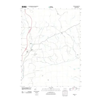 2010 Liberty2010 Print · USGSTioga County's highland plateaus and narrow valleys are documented here as they appeared in the early 2000s. Researchers can trace the rural networks connecting Liberty, Sebring, and East Point, while locating local landmarks like Jew Hill and the House Landing Strip.
 - 2010 Map of Williamsport, 2010 Print
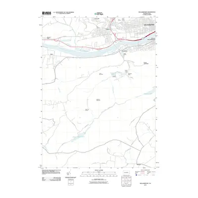 2010 Williamsport2010 Print · USGSWilliamsport and the West Branch Susquehanna River are shown at the turn of the millennium as the region’s industrial and natural borders met. Genealogists can locate family sites at Mount Carmel Cemetery or trace the rural roads near French Settlement and Elimsport.
 - 2010 Map of Waterville, 2010 Print
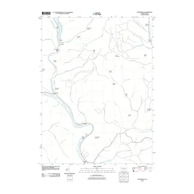 2010 Waterville2010 Print · USGSLycoming County’s narrow valleys and high ridges are shown here in the years following the turn of the millennium. Researchers can trace river settlements like Waterville and Ramsey, or locate the CCC Camp and Waterville Lookout Tower in the surrounding mountains.
 - 2010 Map of Salladasburg, 2010 Print
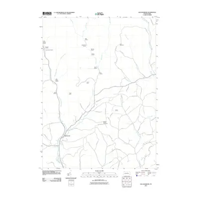 2010 Salladasburg2010 Print · USGSSalladasburg and the surrounding Lycoming County highlands are shown here in the early twenty-first century as a landscape of deep hollows and rural ridges. Researchers can trace local landmarks like Anthony Cemetery, Stablers Grove Picnic Area, and the distinctive Spook Hollow.
 - 2010 Map of Cedar Run, 2010 Print
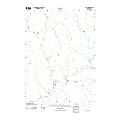 2010 Cedar Run2010 Print · USGSTioga County's timber and stream-cut landscapes are preserved in this recent survey of the Pine Creek area. Researchers can trace the layout of small communities like Blackwell and Cedar Run or locate legacy industrial sites near Clay Mine Run and Stone Quarry Run.
 - 2010 Map of Jersey Mills, 2010 Print
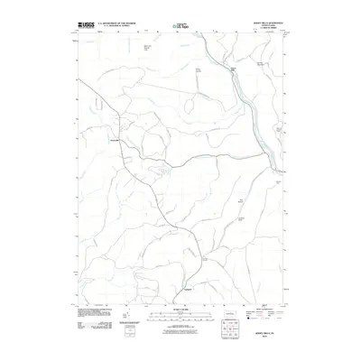 2010 Jersey Mills2010 Print · USGSThe mountain terrain of Gallagher Township and the Pine Creek corridor are shown in this modern survey. Researchers can trace remote trails and landmarks such as the Waterville Lookout Tower, Haneyville, and the Miller Run Natural Area.
 - 2010 Map of Nauvoo, 2010 Print
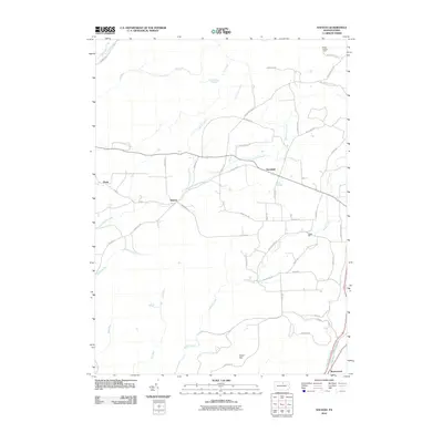 2010 Nauvoo2010 Print · USGSTioga County's rural character is preserved in this study from 2010, showing the landscape as it transitioned into the early twenty-first century. Genealogists and local historians can map out old family homesteads and local landmarks near Blacks Mill, Nauvoo, and Bloss Lookout Tower.
 - 2010 Map of White Pine, 2010 Print
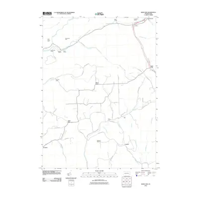 2010 White Pine2010 Print · USGSLycoming County at the start of the 21st century reveals a landscape of high ridges and rural homesteads. Genealogists and local historians can trace family-named sites like Persun Cemetery, the Cogan House, and the community of White Pine.
 - 2010 Map of Williamsport SE, 2010 Print
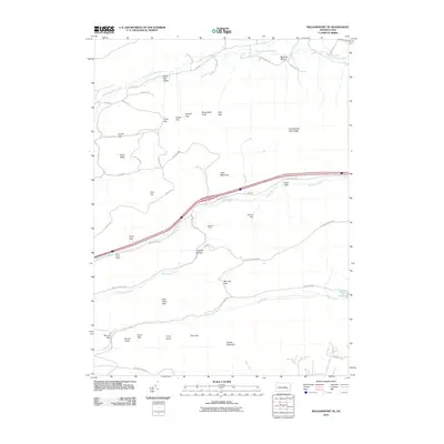 2010 Williamsport SE2010 Print · USGSWhite Deer Township is shown in this 2010 survey as a landscape of forested ridges and narrow mountain gaps. Researchers can locate seasonal sites like Mile Run Camp and Sand Spring Camp or trace the drainages of White Deer Creek and the Spruce Run Reservoir.
 - 2010 Map of Morris, 2010 Print
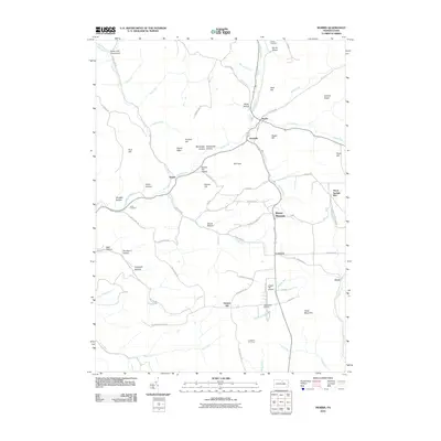 2010 Morris2010 Print · USGSTioga County's southern highlands are documented here during the early twenty-first century, showing the enduring rural character of the region. Researchers can trace family sites near Antrim Cemetery or locate the Ski Sawmill Ski Area and the remote Texas Mountain.
 - 2010 Map of Linden, 2010 Print
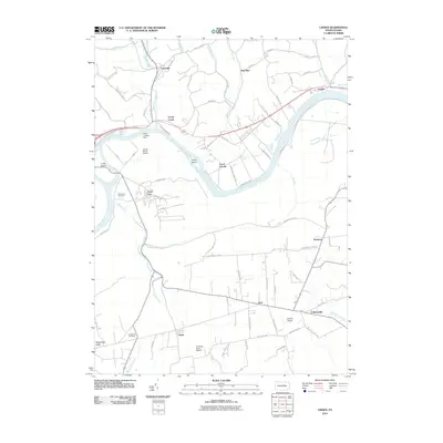 2010 Linden2010 Print · USGSLycoming County at the start of the twenty-first century reveals a landscape shaped by the West Branch Susquehanna River and rural tradition. Researchers can find old burial sites like Fort Antes Cemetery and trace the paths of Antes Creek through Oriole and the Nippenose Valley.
 - 2010 Map of Carroll, 2010 Print
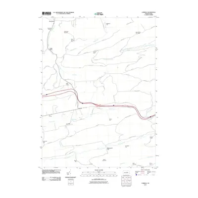 2010 Carroll2010 Print · USGSHartley Township is shaped by the ridges and gaps of Union County in the early twenty-first century. Genealogists and local researchers can trace family sites at Price Cemetery or locate landmarks like the Shakespeare Club and the Rauchtown Lookout Tower.
 - 2010 Map of Glen Union, 2010 Print
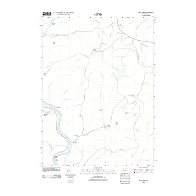 2010 Glen Union2010 Print · USGSThe West Branch Susquehanna River valley and its high plateaus are documented here in the early twenty-first century. Genealogists and local historians can locate small river settlements like Whetham and Glen Union or trace mountain landmarks like Ponderosa Airport and Hyner View.
 - 2010 Map of Jersey Shore, 2010 Print
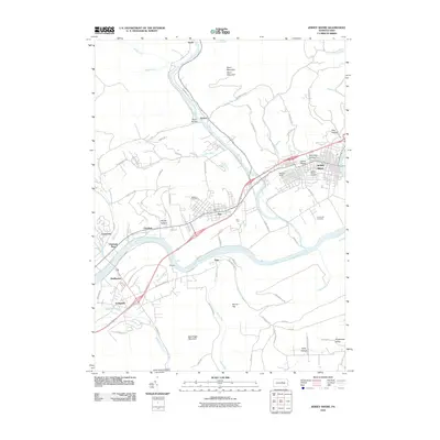 2010 Jersey Shore2010 Print · USGSNear the confluence of Pine Creek and the Susquehanna, this area was a vital rail and river hub at the turn of the millennium. Researchers can trace local lineage through Jersey Shore Cemetery or explore industrial roots at the Avis Yard and McElhattan.
 - 2010 Map of Lee Fire Tower, 2010 Print
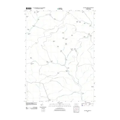 2010 Lee Fire Tower2010 Print · USGSThe high plateau of Potter County is captured here in the early twenty-first century, showing a region defined by its timber and resource history. Researchers can trace land use through namesake features like the Lee Fire Tower, Black Forest Inn Airport, and Sliders Dam.
 - 2010 Map of Trout Run, 2010 Print
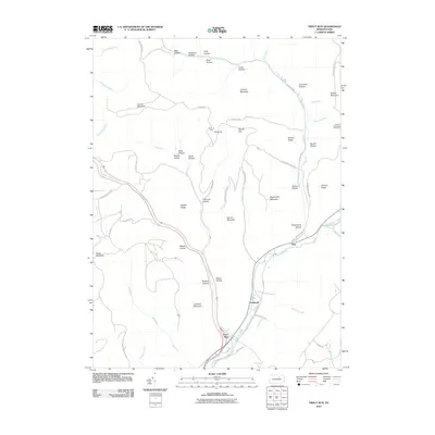 2010 Trout Run2010 Print · USGSTrout Run and the Lycoming Creek valley are captured here in the early twenty-first century, showcasing a landscape of high ridges and deep hollows. Genealogists and hikers can trace historic routes like Williamson Trl or locate family sites near Gray and Caldwell.
 - 2010 Map of Lock Haven, 2010 Print
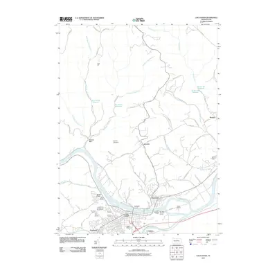 2010 Lock Haven2010 Print · USGSLock Haven and the Susquehanna River valley are captured in detail during the first decade of the 2000s. Researchers can trace local genealogy and landmarks across Highland Cemetery, the Lock Haven University of Pennsylvania, and the grounds of WT Piper Memorial Airport.
 - 2010 Map of Cogan Station, 2010 Print
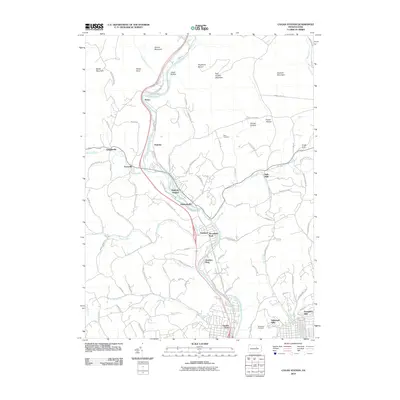 2010 Cogan Station2010 Print · USGSThe Lycoming Creek valley north of Williamsport comes into focus at the start of the 21st century, showing the expansion of northern suburbs. Trace old family lines and local landmarks at Stolz Cemetery, the historic hamlet of Balls Mills, and Knight Dam.
 - 2010 Map of English Center, 2010 Print
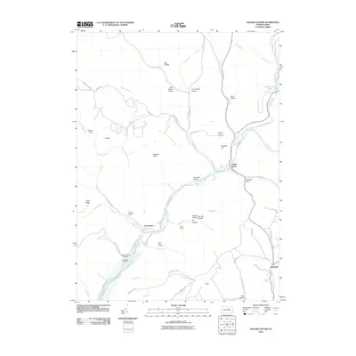 2010 English Center2010 Print · USGSThe rural settlements of Pine Township are captured here during the first decade of the 2000s. Genealogists and historians can trace family locations near English Center, Carsontown Cemetery, and the remote dwellings of Schoolhouse Hollow.
 - 2010 Map of Slate Run, 2010 Print
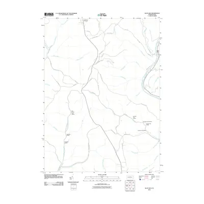 2010 Slate Run2010 Print · USGSThe wilderness of Potter and Lycoming Counties is captured here in the early twenty-first century, centered on the Pine Creek corridor. Local history enthusiasts can trace old logging routes and remote landmarks like Black Forest Inn Airport, Slate Run, and the winding Narrow Gauge Rd.
 - 2010 Map of Ralston, 2010 Print
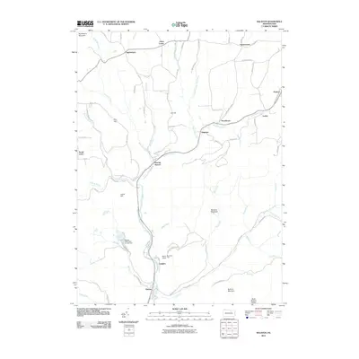 2010 Ralston2010 Print · USGSTioga County is captured here in the early twenty-first century, showing the enduring mountain settlements along the Lycoming Creek valley. Genealogists and hikers can trace the geography of Ralston, the winding McIntyre Mountain Rd, and landmarks like Band Rock Vista.
 - 2010 Map of Elk Grove, 2010 Print
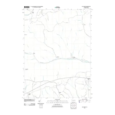 2010 Elk Grove2010 Print · USGSColumbia County at the start of the 2010s shows a landscape of mountain hollows and quiet creek-side settlements. Researchers can trace family-named roads and mountain outposts like Richarts Grove, Grassmere Park, and Fritz Camp along the winding West Branch Fishing Creek.
 - 2010 Map of Lairdsville, 2010 Print
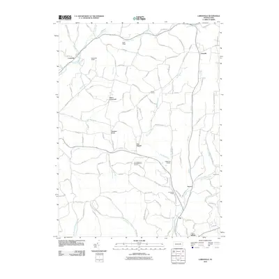 2010 Lairdsville2010 Print · USGSColumbia County’s rural northern townships appear in high detail during the first decade of the new millennium. Researchers can trace local lineage through markers like Gordner Cemetery, the community at Unityville, and the Shoemaker Bridge over the West Branch Run.
 - 2010 Map of Hughesville, 2010 Print
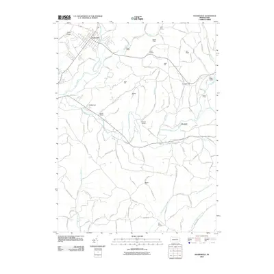 2010 Hughesville2010 Print · USGSLycoming County at the start of the 2010s reveals a landscape of ridge-and-valley settlements connected by the waters of Muncy Creek. Family researchers can trace local roots through the Pleasant Hill Cemetery, Green Valley, and the crossroads at Moreland.
 - 2010 Map of Barbours, 2010 Print
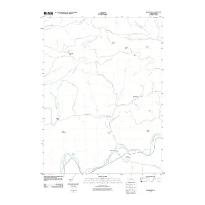 2010 Barbours2010 Print · USGSHillsgrove Township and the Loyalsock valley are captured here at the start of the 2010s. Local researchers can trace family roots at Whipple Cemetery or locate historic settlements such as Proctor, Barbours, and the high ridges of Cove Mountain.
Showing maps 1-25 of 144
Top cities of Lycoming County
- Williamsport historical maps
- South Williamsport historical maps
- Montoursville historical maps
- Jersey Shore historical maps
- Montgomery historical maps
- Duboistown historical maps
See more
Frequently asked questions
- What are the different types of historical maps available for Lycoming County?
- What is the oldest map of Lycoming County?
- Where can I purchase historical maps of Lycoming County for my home or office?
- Where can I download high-res historical maps of Lycoming County?
- Are there historical topographic maps available for Lycoming County?
- Is there historical aerial imagery available for Lycoming County?
- Where are historical maps of Lycoming County sourced from?