Old Maps of Hamilton Township, Pennsylvania for Hiking & Exploration
Hike through history with 34 historic maps of Hamilton Township. Explore old trails, ghost towns, and forgotten backroads — perfect for outdoor adventurers and local explorers.
- Rediscover forgotten places: Map out old mining camps, roads, and footpaths that no longer exist on modern maps.
- Layer with modern tools: Combine with LiDAR or satellite views to plan hikes through historical terrain.
- Made for exploration: Popular among hikers, overlanders, and local history lovers.
Use these maps to find adventure and explore the hidden past of Hamilton Township.
Hamilton Township, PA maps
(34)- 1934 Map of Kane
 1934 Kane1934 Print · USGSThe timber and oil lands of McKean and Elk counties are captured here in the mid-1930s as a network of railroads and pipelines. Researchers can trace family roots in settlements like De Young PO, locate CCC Camp No 7, or find the Greendale Sch.3 unique versions available
 - 1936 Map of Kinzua
 1936 Kinzua1936 Print · USGSThe Allegheny River valley remains in its natural state in the mid-1930s, long before the creation of the Allegheny Reservoir. Genealogists and historians can locate vanished riverfront settlements like Corydon and Kinzua, as well as the original boundaries of the Cornplanter Indian Reservation.
 - 1939 Map of Kane
 1939 Kane1939 Print · USGSThe northern Pennsylvania plateau in the late 1930s is a landscape of timber-towns and industrial rail sidings. Genealogists and researchers can trace the old Baltimore and Ohio line through Kane, James City, and the rural Russell City De Young P O.3 unique versions available
 - 1941 Map of Kinzua
 1941 Kinzua1941 Print · USGSThe Allegheny River valley and the Cornplanter Indian Reservation are shown here in the years before mid-century dam projects forever changed the landscape. Researchers can trace the river-level Pennsylvania Railroad, the Kinzua Coal Mine, and now-submerged settlements like Kinzua and Corydon.3 unique versions available
 - 1949 Map of Kinzua, 1954 Print
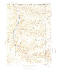 1949 Kinzua1954 Print · USGSThe Allegheny River valley remains the heart of this region in the late 1940s, just before major changes altered the landscape. Researchers can trace riverside life in Kinzua and Corydon or locate the historic Cornplanter Indian Reservation.4 unique versions available
 - 1957 Map of Warren, 1964 Print
 1957 Warren1964 Print · USGSThe northern Pennsylvania oil and timber country comes into focus in the mid-fifties, showing the region before modern highway expansions. Trace the industrial rail networks of the Pennsylvania RR and the early Allegheny River Reservoir near Warren and Oil City.4 unique versions available
 - 1958 Map of Warren
 1958 Warren1958 Print · USGSNorthern Pennsylvania’s timber and oil country is captured here during the late fifties, showing the interplay of industrial valleys and vast state forests. Genealogists can trace family connections across the Cornplanter Indian Reservation or through rail hubs like Oil City and Saint Marys.
 - 1959 Map of Warren
 1959 Warren1959 Print · USGSNorthern Pennsylvania's oil and timber country comes alive in this late-fifties study of the forest-clad plateaus. Trace the historic Cornplanter (Indian Reservation), the sprawling Oil Field, and the rail lines of the Pennsylvania RR.2 unique versions available
 - 1966 Map of Westline, 1967 Print
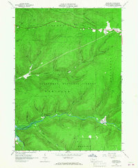 1966 Westline1967 Print · USGSMcKean County's industrial and forest lands are captured in the mid-1960s, a period of transition for the local landscape. Researchers can trace the Old Railroad Grade and numerous oil wells near Marshburg and Klondike.4 unique versions available
 - 1966 Map of Kane, 1967 Print
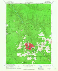 1966 Kane1967 Print · USGSMcKean County's industrial and forest heritage is on full display in the 1960s, centered on the growing town of Kane. Genealogists and historians can trace the Forest Lawn Cem, local schools, and industry sites like the Coal Mine and numerous Oil Wells.3 unique versions available
 - 1966 Map of Cornplanter Bridge, 1968 Print
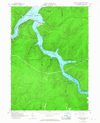 1966 Cornplanter Bridge1968 Print · USGSThe Allegheny River valley and its major tributaries appear here just as the reservoir was becoming a central feature of the landscape in the mid-1960s. Researchers can trace the infrastructure of the newly created Allegheny Reservoir, the crossing at Cornplanter Bridge, and numerous Oil Wells scattered across the forest.3 unique versions available
 - 1966 Map of Ludlow, 1968 Print
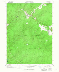 1966 Ludlow1968 Print · USGSMcKean County's timberlands and gas fields are captured in the mid-sixties, showing the intersection of industrial work and forest conservation. Researchers can locate the small community of Ludlow, the Hoffman Farm Camp, and the winding Old Railroad Grade.4 unique versions available
 - 1971 Map of Warren
 1971 Warren1971 Print · USGSNorth Central Pennsylvania is captured here in the early seventies, showing a landscape defined by industrial centers and massive state forests. Genealogists and historians can trace the rail lines of the Penn Central and Erie Lackawanna connecting towns like Warren, Kane, and Du Bois.
 - 1980 Map of Bradford, 1982 Print
 1980 Bradford1982 Print · USGSNorthern Pennsylvania's oil country and deep forests are captured here during the 1980s. Genealogists and researchers can trace rail-side settlements like Kushequa, Gifford, and Lewis Run or locate specific Oil and Gas Field sites across the plateau.
 - 2011 Map of Cornplanter Bridge, 2011 Print
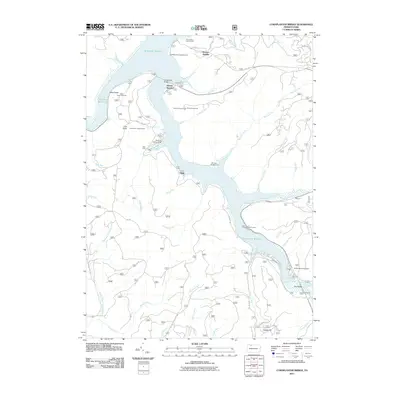 2011 Cornplanter Bridge2011 Print · USGSThe Allegheny Reservoir region is seen here in the early 2000s, showing a landscape defined by forest management and outdoor recreation. Local historians can trace the geography of the reservoir's edge at Kinzua Beach and locate high-ground landmarks like Coal Knob Lookout Tower.
 - 2011 Map of Kane, 2011 Print
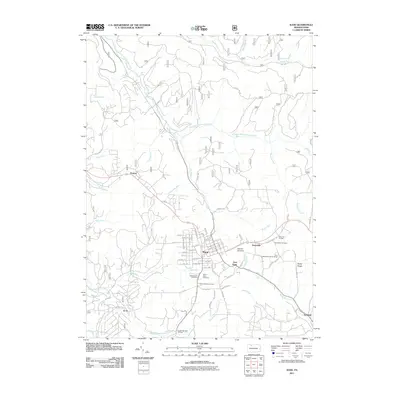 2011 Kane2011 Print · USGSThe plateau of McKean County comes into focus in this recent survey, centered on the historic crossroads of Kane. Researchers can trace old neighborhood lines and locate sites like Saint Callistus Cemetery, Mountain Grange, and the settlement of Jo Jo.
 - 2011 Map of Westline, 2011 Print
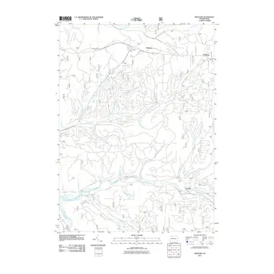 2011 Westline2011 Print · USGSThe Allegheny Plateau near Westline and Marshburg is shown in detail during the early 21st century. Researchers can trace the complex drainage of Kinzua Creek and Chappel Fork alongside forest roads leading to Klondike and Paines Summit.
 - 2011 Map of Ludlow, 2011 Print
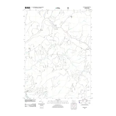 2011 Ludlow2011 Print · USGSThe timber and creek lands of Warren County are captured here in the early twenty-first century as the region maintains its forest heritage. Researchers can locate the Moriah Cemetery and trace the paths of East Branch Tionesta Creek through Ludlow and Wetmore.
 - 2013 Map of Westline, 2013 Print
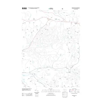 2013 Westline2013 Print · USGSIn this 2013 survey of McKean County, the rugged forest landscape of the Allegheny Plateau is captured in intricate detail. Genealogists and hikers can trace the winding roads and mountain streams surrounding Westline, Marshburg, and the heights of Paines Summit.
 - 2013 Map of Kane, 2013 Print
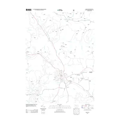 2013 Kane2013 Print · USGSThe borough of Kane and its surrounding McKean County highlands are captured here in the early twenty-first century. Researchers can trace local history through sites like the Free Methodist Church Camp, the Mountain Grange, and old settlements like Jo Jo and Preston.
 - 2013 Map of Cornplanter Bridge, 2013 Print
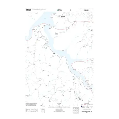 2013 Cornplanter Bridge2013 Print · USGSThe Allegheny Reservoir and its surrounding woodlands define this portion of Warren County in the early twenty-first century. Local history enthusiasts can trace the winding Long House Scenic Dr to landmarks like the Coal Knob Lookout Tower, Red Bridge, and Kinzua Heights.
 - 2013 Map of Ludlow, 2013 Print
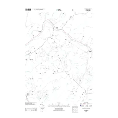 2013 Ludlow2013 Print · USGSThe northern Pennsylvania highlands near Ludlow appear in this recent survey of Warren County's deep woods and valley settlements. Researchers can trace historic access points like Olmsted Rd or locate rural landmarks including the Sheffield Lookout Tower and Hoffman Farm Camp.
 - 2016 Map of Kane, 2016 Print
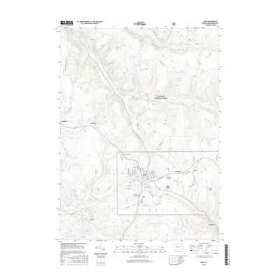 2016 Kane2016 Print · USGSMcKean County's highland forests are shown here during the mid-2010s, centered on the settled core of the borough of Kane. Researchers can locate family roots at Forest Lawn Cemetery or trace the routes of old logging hamlets like Jo Jo and Sergeant.
 - 2016 Map of Ludlow, 2016 Print
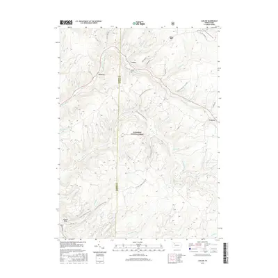 2016 Ludlow2016 Print · USGSThe northern Pennsylvania highlands appear in fine detail here as the twenty-first century began. Researchers can trace family sites at Moriah Cem, explore the early footprints of Ludlow and Roystone, and follow the N Country National Scenic Trail.
 - 2016 Map of Cornplanter Bridge, 2016 Print
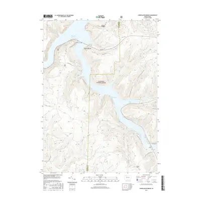 2016 Cornplanter Bridge2016 Print · USGSThe Allegheny National Forest in the mid-2010s is defined by the deep waters of the Allegheny Reservoir and its rugged timberlands. Researchers can trace the path of the N Country National Scenic Trail and locate points like Cornplanter Bridge and Kinzua Beach.
Showing maps 1-25 of 34
Top cities near Hamilton Township
- Bradford historical maps
- Kane historical maps
- Lafayette Township historical maps
- Sheffield Township historical maps
- Wetmore historical maps
- Mount Jewett historical maps
See more
Top neighborhoods of Hamilton Township
Frequently asked questions
- What are the different types of historical maps available for Hamilton Township?
- What is the oldest map of Hamilton Township?
- Where can I purchase historical maps of Hamilton Township for my home or office?
- Where can I download high-res historical maps of Hamilton Township?
- Are there historical topographic maps available for Hamilton Township?
- Is there historical aerial imagery available for Hamilton Township?
- Where are historical maps of Hamilton Township sourced from?