Old Maps of Lafayette Township, Pennsylvania for Metal Detecting
Plan your next treasure hunt with 48 historic maps of Lafayette Township. Find old homesites, ghost towns, trails, and gathering spots that may be lost to time — perfect for identifying promising metal detecting locations.
- Locate forgotten sites: Uncover places like long-lost settlements, abandoned rail lines, or gathering spots.
- Plan better hunts: Use map overlays combined with LiDAR or satellite views to narrow in on historically rich areas.
- Made for detectorists: Thousands of hobbyists use these maps to discover relics, coins, and hidden history.
Use these historic maps to boost your research and find new opportunities beneath the surface of Lafayette Township.
Lafayette Township, PA maps
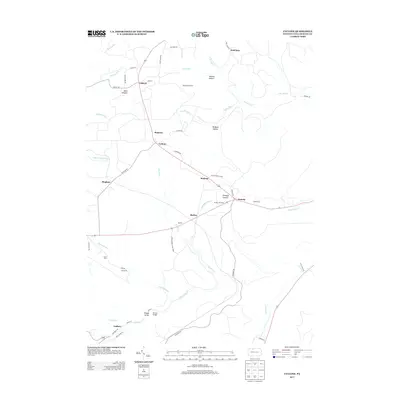
(48)- 1924 Map of Bradford
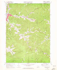
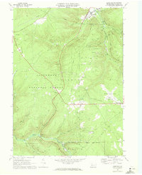
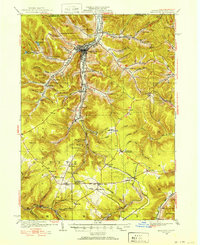 1924 Bradford1924 Print · USGSMcKean County's industrial heartland is captured here in the mid-1920s, showing a landscape defined by timber, chemicals, and heavy rail. Trace early infrastructure from the KINZUA VIADUCT to family-named landmarks like Corwins Corners and Bells Camp.2 unique versions available
 - 1926 Map of Bradford
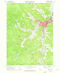
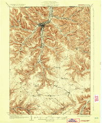 1926 Bradford1926 Print · USGSNorthwestern Pennsylvania's oil and timber country comes alive in the mid-twenties, centered on the bustling industrial valley of Bradford. Researchers can trace the path of the Bradford Electric Ry, find local homesteads near Custer City, or locate the famed Kinzua Viaduct.4 unique versions available
 - 1936 Map of Kinzua
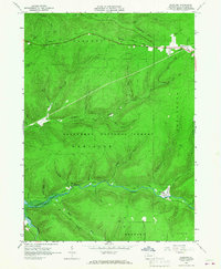
 1936 Kinzua1936 Print · USGSThe Allegheny River valley remains in its natural state in the mid-1930s, long before the creation of the Allegheny Reservoir. Genealogists and historians can locate vanished riverfront settlements like Corydon and Kinzua, as well as the original boundaries of the Cornplanter Indian Reservation.
 - 1941 Map of Kinzua
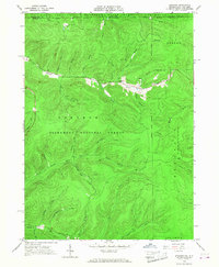
 1941 Kinzua1941 Print · USGSThe Allegheny River valley and the Cornplanter Indian Reservation are shown here in the years before mid-century dam projects forever changed the landscape. Researchers can trace the river-level Pennsylvania Railroad, the Kinzua Coal Mine, and now-submerged settlements like Kinzua and Corydon.3 unique versions available
 - 1941 Map of Bradford, 1958 Print
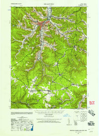 1941 Bradford1958 Print · USGSMcKean County's industrial landscape was at its peak during the early 1940s, marked by a dense network of mountain railroads and small oil-country settlements. Genealogists can trace family roots through numerous rural landmarks like Songbird Sch, Irishtown, and Davis Gifford PO.2 unique versions available
 - 1944 Map of Bradford
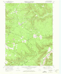
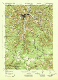 1944 Bradford1944 Print · USGSMcKean County and the New York borderlands are shown here during the mid-1940s, a period defined by heavy rail traffic and mountain settlements. You can trace old property lines and rural schoolhouses like Bolivar Run Sch, or find the Gifford PO and Big Shanty Sta along the timber and oil valleys.
 - 1949 Map of Kinzua, 1954 Print
 1949 Kinzua1954 Print · USGSThe Allegheny River valley remains the heart of this region in the late 1940s, just before major changes altered the landscape. Researchers can trace riverside life in Kinzua and Corydon or locate the historic Cornplanter Indian Reservation.4 unique versions available
 - 1957 Map of Warren, 1964 Print
 1957 Warren1964 Print · USGSThe northern Pennsylvania oil and timber country comes into focus in the mid-fifties, showing the region before modern highway expansions. Trace the industrial rail networks of the Pennsylvania RR and the early Allegheny River Reservoir near Warren and Oil City.4 unique versions available
 - 1958 Map of Warren
 1958 Warren1958 Print · USGSNorthern Pennsylvania’s timber and oil country is captured here during the late fifties, showing the interplay of industrial valleys and vast state forests. Genealogists can trace family connections across the Cornplanter Indian Reservation or through rail hubs like Oil City and Saint Marys.
 - 1959 Map of Warren
 1959 Warren1959 Print · USGSNorthern Pennsylvania's oil and timber country comes alive in this late-fifties study of the forest-clad plateaus. Trace the historic Cornplanter (Indian Reservation), the sprawling Oil Field, and the rail lines of the Pennsylvania RR.2 unique versions available
 - 1966 Map of Westline, 1967 Print
 1966 Westline1967 Print · USGSMcKean County's industrial and forest lands are captured in the mid-1960s, a period of transition for the local landscape. Researchers can trace the Old Railroad Grade and numerous oil wells near Marshburg and Klondike.4 unique versions available
 - 1966 Map of Stickney, 1968 Print
 1966 Stickney1968 Print · USGSThe Pennsylvania and New York border highlands are captured here in the mid-sixties, dominated by the Allegheny National Forest. Researchers can find evidence of the regional energy economy through clusters of Oil Wells and trace old routes like Boatroad and Harlow Trail.3 unique versions available
 - 1969 Map of Derricks City, 1972 Print
 1969 Derricks City1972 Print · USGSThe Pennsylvania-New York borderlands near McKean County are shown here in the late sixties, centered on the intensive petroleum operations of the Bradford Oil Field. Genealogists and researchers can trace old school sites like Lincoln School and family landmarks such as Corwins Corners.3 unique versions available
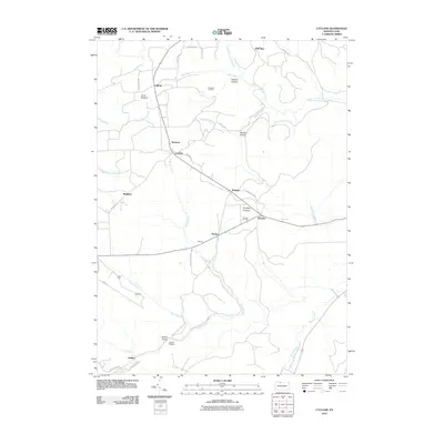
 - 1969 Map of Cyclone, 1972 Print
 1969 Cyclone1972 Print · USGSMcKean County's oil and timber heritage is on full display in this late-sixties survey of the Pennsylvania highlands. Genealogists and industrial historians can trace the paths of the Baltimore and Ohio Railroad Grade and locate old extraction sites like the Strip Mines near Mount Alton.2 unique versions available
 - 1969 Map of Lewis Run, 1972 Print
 1969 Lewis Run1972 Print · USGSThe oil-rich plateaus of McKean County are captured here during the late sixties, showing the heavy concentration of wells throughout the Allegheny National Forest. Genealogists and historians can locate family landmarks like the Ryan Sch, McKean Memorial Park (Cem), and small settlements like Taintor and Marshburg.3 unique versions available
 - 1969 Map of Bradford, 1973 Print
 1969 Bradford1973 Print · USGSMcKean County's industrial landscape was still defined by its rail-and-oil economy during the late sixties. Genealogists and local historians can trace family roots through Willow Dale Cem, or locate long-standing landmarks like Hazelton Mills and Custer City.3 unique versions available
 - 1971 Map of Warren
 1971 Warren1971 Print · USGSNorth Central Pennsylvania is captured here in the early seventies, showing a landscape defined by industrial centers and massive state forests. Genealogists and historians can trace the rail lines of the Penn Central and Erie Lackawanna connecting towns like Warren, Kane, and Du Bois.
 - 1980 Map of Bradford, 1982 Print
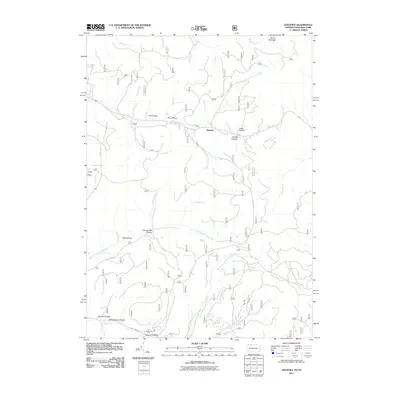
 1980 Bradford1982 Print · USGSNorthern Pennsylvania's oil country and deep forests are captured here during the 1980s. Genealogists and researchers can trace rail-side settlements like Kushequa, Gifford, and Lewis Run or locate specific Oil and Gas Field sites across the plateau.
 - 2010 Map of Cyclone, 2010 Print
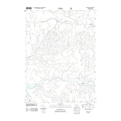
 2010 Cyclone2010 Print · USGSCovers Lafayette Township, including Gaffney, Cyclone, and other nearby areas
 - 2010 Map of Derrick City, 2010 Print
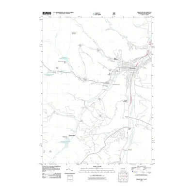
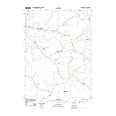 2010 Derrick City2010 Print · USGSCovers Lafayette Township, including Bradford, Allegany, and other nearby areas
 - 2011 Map of Westline, 2011 Print
 2011 Westline2011 Print · USGSCovers Lafayette Township, including Westline, Corydon Township, and other nearby areas
 - 2011 Map of Bradford, 2011 Print
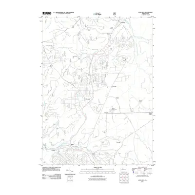
 2011 Bradford2011 Print · USGSCovers Lafayette Township, including Bradford, Carrollton, and other nearby areas
 - 2011 Map of Lewis Run, 2011 Print
 2011 Lewis Run2011 Print · USGSCovers Lafayette Township, including Lewis Run, Tallyho, and other nearby areas
 - 2011 Map of Stickney, 2011 Print
 2011 Stickney2011 Print · USGSCovers Lafayette Township, including Coldspring, Red House, and other nearby areas
 - 2013 Map of Cyclone, 2013 Print
 2013 Cyclone2013 Print · USGSCovers Lafayette Township, including Gaffney, Cyclone, and other nearby areas
Showing maps 1-25 of 48
Top cities near Lafayette Township
- Bradford historical maps
- Allegany historical maps
- Kane historical maps
- Wetmore historical maps
- Carrollton historical maps
- Mount Jewett historical maps
See more
Top neighborhoods of Lafayette Township
- Westline historical maps
- Marshburg historical maps
- Riterville historical maps
- Taintor historical maps
- Timbuck historical maps
- Big Shanty historical maps
See more
Frequently asked questions
- What are the different types of historical maps available for Lafayette Township?
- What is the oldest map of Lafayette Township?
- Where can I purchase historical maps of Lafayette Township for my home or office?
- Where can I download high-res historical maps of Lafayette Township?
- Are there historical topographic maps available for Lafayette Township?
- Is there historical aerial imagery available for Lafayette Township?
- Where are historical maps of Lafayette Township sourced from?