2000s (21st Century) Maps of Shenango Township, Pennsylvania
Explore 20 historic maps of Shenango Township from the 2000s (21st Century). These maps offer a rare glimpse into what life looked like during the 2000s — showing old roads, neighborhoods, homes, and landmarks that have changed or disappeared over time.
Whether you're researching your family's past, planning a metal detecting trip, or studying how Shenango Township's landscape evolved across the 2000s, these high-resolution maps are a powerful tool for exploring the history of this region.
- Focus on a specific era: All maps on this page are from the 2000s, giving you a focused view of this time period.
- See what’s changed: Compare century-old streets, trails, and buildings to today's modern landscape using overlays and satellite layers.
- Research with precision: Use these maps for genealogy, historical research, land use analysis, or educational projects.
- View, download, or print: Maps are fully viewable online in high resolution, and can be downloaded or printed for your own records.
Start exploring Shenango Township's history through authentic maps from the 2000s. This is your window into the past.
Shenango Township, PA maps
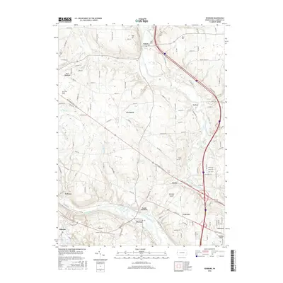
(20)- 2010 Map of Edinburg, 2010 Print
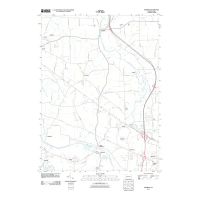 2010 Edinburg2010 Print · USGSCovers Shenango Township, including Pulaski Township, Frizzleburg, and other nearby areas
 - 2010 Map of Sharon East, 2010 Print
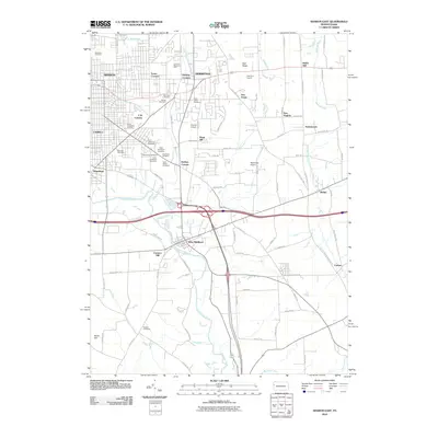 2010 Sharon East2010 Print · USGSCovers Shenango Township, including Hermitage, Sharon, and other nearby areas
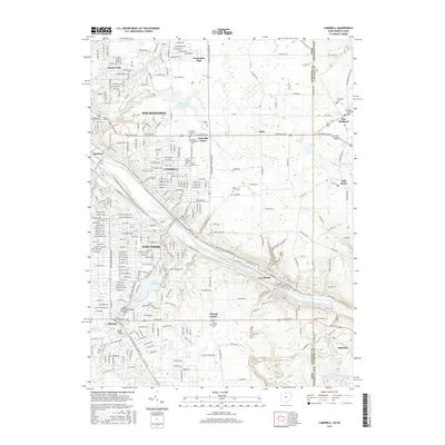
 - 2010 Map of Campbell, 2010 Print
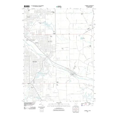 2010 Campbell2010 Print · USGSCovers Shenango Township, including Youngstown, Struthers, and other nearby areas
 - 2010 Map of Sharon West, 2010 Print
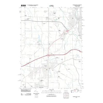 2010 Sharon West2010 Print · USGSCovers Shenango Township, including Youngstown, Hermitage, and other nearby areas
 - 2013 Map of Edinburg, 2013 Print
 2013 Edinburg2013 Print · USGSCovers Shenango Township, including Pulaski Township, Frizzleburg, and other nearby areas
 - 2013 Map of Sharon East, 2013 Print
 2013 Sharon East2013 Print · USGSCovers Shenango Township, including Hermitage, Sharon, and other nearby areas
 - 2013 Map of Sharon West, 2013 Print
 2013 Sharon West2013 Print · USGSCovers Shenango Township, including Youngstown, Hermitage, and other nearby areas
 - 2013 Map of Campbell, 2013 Print
 2013 Campbell2013 Print · USGSCovers Shenango Township, including Youngstown, Struthers, and other nearby areas
 - 2016 Map of Edinburg, 2016 Print
 2016 Edinburg2016 Print · USGSCovers Shenango Township, including Pulaski Township, Frizzleburg, and other nearby areas
 - 2016 Map of Sharon West, 2016 Print
 2016 Sharon West2016 Print · USGSCovers Shenango Township, including Youngstown, Hermitage, and other nearby areas
 - 2016 Map of Sharon East, 2016 Print
 2016 Sharon East2016 Print · USGSCovers Shenango Township, including Hermitage, Sharon, and other nearby areas
 - 2016 Map of Campbell, 2016 Print
 2016 Campbell2016 Print · USGSCovers Shenango Township, including Youngstown, Struthers, and other nearby areas
 - 2019 Map of Sharon West, 2019 Print
 2019 Sharon West2019 Print · USGSCovers Shenango Township, including Youngstown, Hermitage, and other nearby areas
 - 2019 Map of Edinburg, 2019 Print
 2019 Edinburg2019 Print · USGSCovers Shenango Township, including Pulaski Township, Frizzleburg, and other nearby areas
 - 2019 Map of Sharon East, 2019 Print
 2019 Sharon East2019 Print · USGSCovers Shenango Township, including Hermitage, Sharon, and other nearby areas
 - 2019 Map of Campbell, 2019 Print
 2019 Campbell2019 Print · USGSCovers Shenango Township, including Youngstown, Struthers, and other nearby areas
 - 2023 Map of Edinburg, 2023 Print
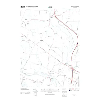
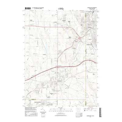
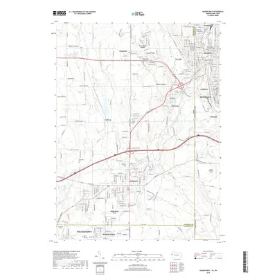
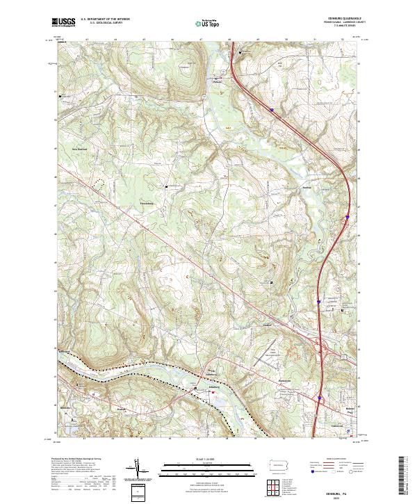 2023 Edinburg2023 Print · USGSWestern Lawrence County appears here in the early twenty-first century, where the Mahoning and Shenango rivers meet. Genealogists can trace family footprints across Ashton Cem, Peanut, and the settlement of Frizzleburg.
 - 2023 Map of Sharon West, 2023 Print
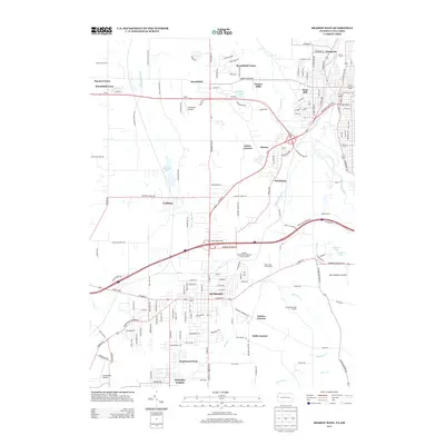
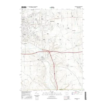
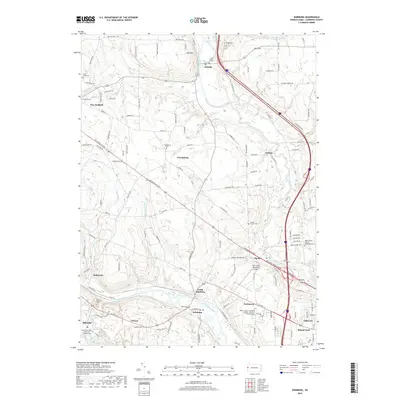
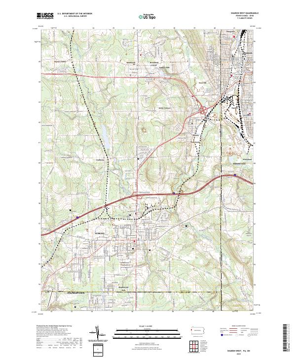 2023 Sharon West2023 Print · USGSThe industrial borderlands of eastern Ohio and western Pennsylvania come alive in this detailed record of the early twenty-first century. Researchers can locate numerous family burial sites like Old North Cem and Corner House Cem or trace the civic footprint of the Trumbull County Courthouse - Eastern District.
 - 2023 Map of Sharon East, 2023 Print
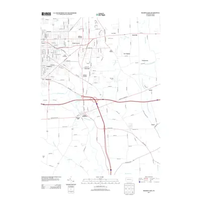
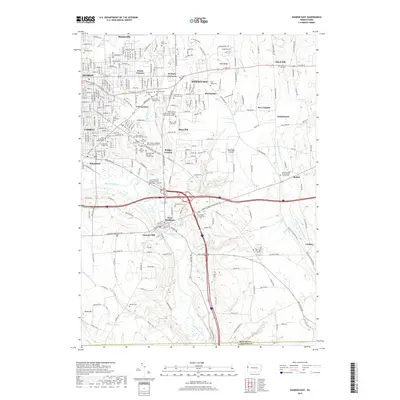
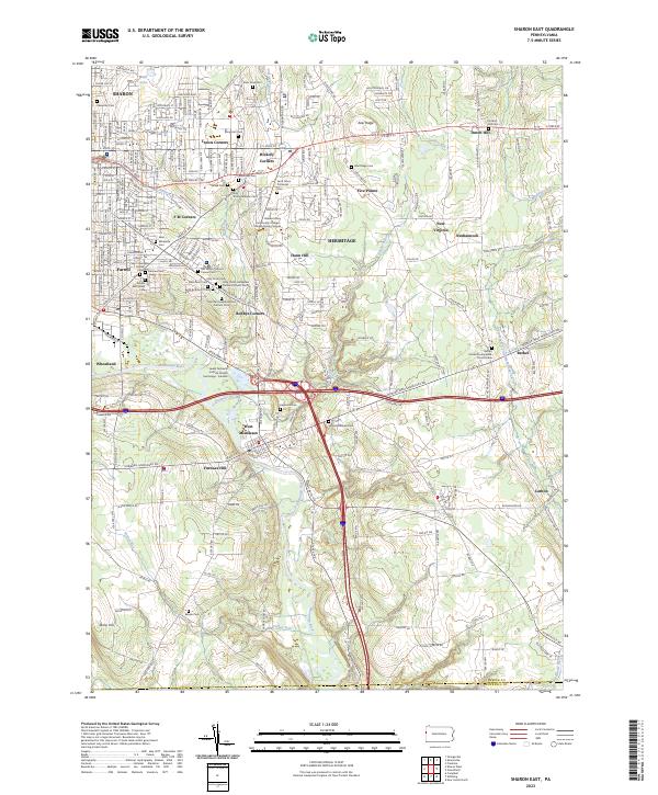 2023 Sharon East2023 Print · USGSThe industrial Shenango River valley and its surrounding ridges come into focus in this contemporary record of Mercer County. Researchers can locate numerous ethnic religious sites like Holy Trinity Hungarian Roman Catholic Cem and family landmarks near Keel Ridge.
 - 2023 Map of Campbell, 2023 Print
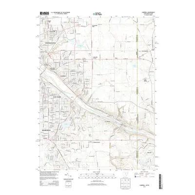
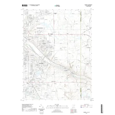
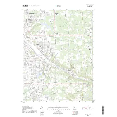 2023 Campbell2023 Print · USGSThe industrial Mahoning Valley is seen in the early 2020s as it spans the Ohio and Pennsylvania border. Genealogists can locate family sites at Riverside Cem or Saint Johns Cem while tracing the waters of Lake Hamilton.
End of results
Showing maps 1-20 of 20
Top cities near Shenango Township
- Youngstown historical maps
- Boardman historical maps
- New Castle historical maps
- Hermitage historical maps
- Sharon historical maps
- Struthers historical maps
See more
Top neighborhoods of Shenango Township
Frequently asked questions
- What are the different types of historical maps available for Shenango Township?
- What is the oldest map of Shenango Township?
- Where can I purchase historical maps of Shenango Township for my home or office?
- Where can I download high-res historical maps of Shenango Township?
- Are there historical topographic maps available for Shenango Township?
- Is there historical aerial imagery available for Shenango Township?
- Where are historical maps of Shenango Township sourced from?