Old Maps of Shenango Township, Pennsylvania for Academic Research
Study the evolution of Shenango Township with 35 high-resolution historic maps. Whether you're teaching, researching, or modeling changes in land use, these maps provide essential visual documentation of urban, environmental, and geographic change.
- Analyze long-term change: Track patterns in development, transportation, and natural features.
- Ideal for environmental or urban studies: Support academic projects with primary historical map data.
- Use in the classroom or lab: Educators and researchers rely on these maps to bring historical context to life.
These maps are a powerful tool for teaching, research, and visualizing how Shenango Township has changed over the decades.
Shenango Township, PA maps
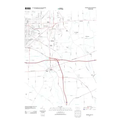
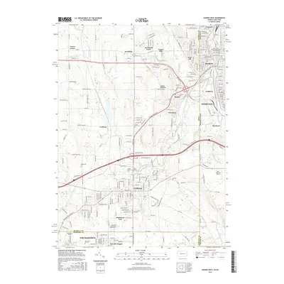
(35)- 1905 Map of Neshannock, 1960 Print
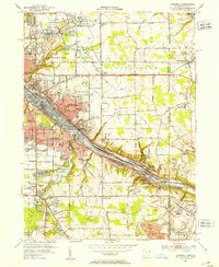
 1905 Neshannock1960 Print · USGSNear the Pennsylvania-Ohio border after the turn of the century, the river valleys were heavy with steam rail and industry. Researchers can trace historic station stops like Skidmore Eastbrook Sta and local landmarks like the White Chapel or Neshannock Falls.
 - 1906 Map of Youngstown, 1958 Print
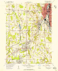
 1906 Youngstown1958 Print · USGSThe Mahoning Valley's industrial heartland is caught at its early twentieth-century peak, showing the massive rail and steel infrastructure at the state border. Researchers can trace the lineage of local neighborhoods and schools like Hell Street School, Idora Park, and Tibbetts Corners.
 - 1907 Map of Neshannock
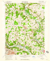
 1907 Neshannock1907 Print · USGSMercer and Lawrence counties are shown here at the height of the steam and electric rail era. Genealogists and local historians can trace family-named landmarks like Books Woods School, Mathews School, and Fayetteville Fay PO.5 unique versions available
 - 1908 Map of Youngstown, 1937 Print
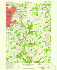
 1908 Youngstown1937 Print · USGSThe Mahoning Valley at the height of its industrial boom is defined by a massive concentration of rail lines and riverfront steel towns. Genealogists and historians can trace the footprint of early neighborhood schools like Bell School, find the original layout of Idora Park, and locate vanished rail stops along the ERIE RAILROAD.2 unique versions available
 - 1950 Map of Cleveland
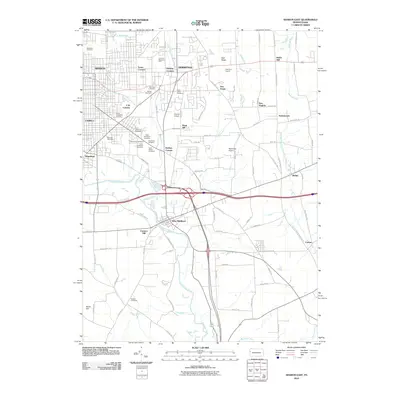
 1950 Cleveland1950 Print · USGSCovers Shenango Township, including Cleveland, Akron, and other nearby areas
 - 1951 Map of Campbell, 1953 Print
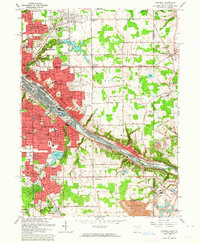
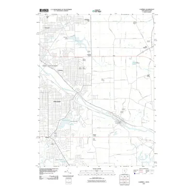
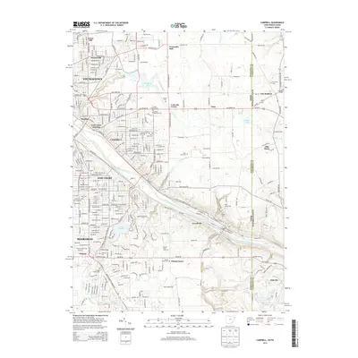
 1951 Campbell1953 Print · USGSThe Mahoning River valley in the early fifties shows a dense industrial corridor of rails and riverside towns on the Ohio-Pennsylvania line. Genealogists can trace family landmarks like White Sch, St Johns Cem, and Holy Rosary Cem.
 - 1954 Map of Sharon West, 1956 Print
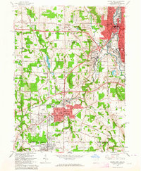
 1954 Sharon West1956 Print · USGSThe industrial heart of the Ohio-Pennsylvania border comes alive in the mid-1950s, centered on the bustling rail hubs and river towns. Researchers can trace family history through the neighborhoods of Hubbard, locate the Slope Ch, or study the grounds of Oakwood Cem.
 - 1956 Map of Cleveland, 1967 Print
 1956 Cleveland1967 Print · USGSNortheast Ohio and Western Pennsylvania are shown at their industrial height during the mid-fifties, from the steel mills to the lakeshore. Researchers can trace the massive Ravenna Arsenal, the Ohio Turnpike, and vanished rail sidings of the B & O RR.3 unique versions available
 - 1958 Map of Edinburg, 1959 Print
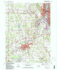
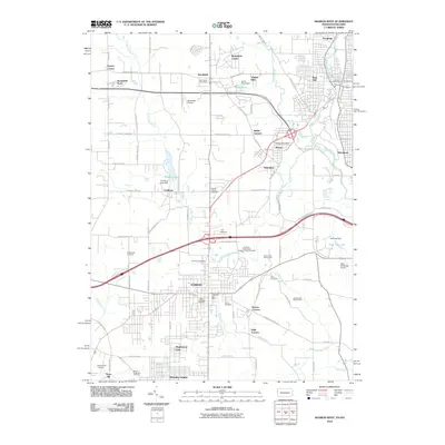
 1958 Edinburg1959 Print · USGSThe Shenango and Mahoning rivers meet in the late fifties amidst a dense network of major railroads and industrial hubs. Genealogists and historians can trace local landmarks like Kings Chapel, Hopewell Cem, and the now-vanished New Castle Trade Sch.4 unique versions available
 - 1958 Map of Sharon East, 1960 Print
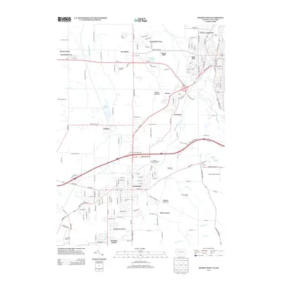
 1958 Sharon East1960 Print · USGSMercer County during the late fifties shows the steady outward growth of Sharon and Farrell into the surrounding townships. Genealogists and local historians can trace family locations through numerous sites like Morefield Cem, Township High Sch, and the West Middlesex Airport.5 unique versions available
 - 1962 Map of Cleveland
 1962 Cleveland1962 Print · USGSNortheast Ohio and the Pennsylvania borderlands appear here during the industrial peak of the early sixties. Genealogists and historians can trace the expansive rail lines of the Nickel Plate Road and the growth of suburbs from Parma to Lyndhurst.
 - 1962 Map of Sharon West, 1964 Print
 1962 Sharon West1964 Print · USGSThe industrial corridor of the Ohio-Pennsylvania state line comes alive in the early sixties as manufacturing hubs like Sharon and Farrell thrive. Researchers can trace family sites at St Patricks Cemetery or locate vanishing rail stops like Brookfield Station.4 unique versions available
 - 1963 Map of Campbell, 1964 Print
 1963 Campbell1964 Print · USGSThe Mahoning Valley industrial corridor reached a peak of rail and steel development during the early sixties. Genealogists can trace family roots through neighborhood landmarks like Scienceville, the Poland Cemetery, and many local schools from Reed Sch to Haddow Sch.3 unique versions available
 - 1986 Map of Youngstown, 1988 Print
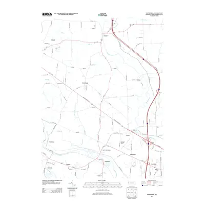
 1986 Youngstown1988 Print · USGSThe industrial corridor of the Mahoning Valley and the collegiate towns of Western Pennsylvania are captured here in the mid-eighties. Researchers can trace the rail lines of the Conrail network or locate historical sites like Churchill and Crown Hill Cem.2 unique versions available
 - 1994 Map of Sharon West, 1997 Print
 1994 Sharon West1997 Print · USGSThe industrial heart of the Shenango Valley is captured here during the 1990s, illustrating the dense rail and river networks of the Ohio-Pennsylvania state line. Researchers can trace family sites from Oakwood Cem to St Patricks Sch and the streets of Hubbard.
 - 2010 Map of Edinburg, 2010 Print
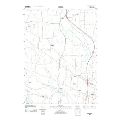 2010 Edinburg2010 Print · USGSCovers Shenango Township, including Pulaski Township, Frizzleburg, and other nearby areas
 - 2010 Map of Sharon East, 2010 Print
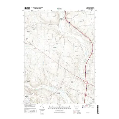
 2010 Sharon East2010 Print · USGSCovers Shenango Township, including Hermitage, Sharon, and other nearby areas
 - 2010 Map of Campbell, 2010 Print
 2010 Campbell2010 Print · USGSCovers Shenango Township, including Youngstown, Struthers, and other nearby areas
 - 2010 Map of Sharon West, 2010 Print
 2010 Sharon West2010 Print · USGSCovers Shenango Township, including Youngstown, Hermitage, and other nearby areas
 - 2013 Map of Edinburg, 2013 Print
 2013 Edinburg2013 Print · USGSCovers Shenango Township, including Pulaski Township, Frizzleburg, and other nearby areas
 - 2013 Map of Sharon East, 2013 Print
 2013 Sharon East2013 Print · USGSCovers Shenango Township, including Hermitage, Sharon, and other nearby areas
 - 2013 Map of Sharon West, 2013 Print
 2013 Sharon West2013 Print · USGSCovers Shenango Township, including Youngstown, Hermitage, and other nearby areas
 - 2013 Map of Campbell, 2013 Print
 2013 Campbell2013 Print · USGSCovers Shenango Township, including Youngstown, Struthers, and other nearby areas
 - 2016 Map of Edinburg, 2016 Print
 2016 Edinburg2016 Print · USGSCovers Shenango Township, including Pulaski Township, Frizzleburg, and other nearby areas
 - 2016 Map of Sharon West, 2016 Print
 2016 Sharon West2016 Print · USGSCovers Shenango Township, including Youngstown, Hermitage, and other nearby areas
Showing maps 1-25 of 35
Top cities near Shenango Township
- Youngstown historical maps
- Boardman historical maps
- New Castle historical maps
- Hermitage historical maps
- Sharon historical maps
- Struthers historical maps
See more
Top neighborhoods of Shenango Township
Frequently asked questions
- What are the different types of historical maps available for Shenango Township?
- What is the oldest map of Shenango Township?
- Where can I purchase historical maps of Shenango Township for my home or office?
- Where can I download high-res historical maps of Shenango Township?
- Are there historical topographic maps available for Shenango Township?
- Is there historical aerial imagery available for Shenango Township?
- Where are historical maps of Shenango Township sourced from?