Old Maps of Clara Township, Pennsylvania for Metal Detecting
Plan your next treasure hunt with 31 historic maps of Clara Township. Find old homesites, ghost towns, trails, and gathering spots that may be lost to time — perfect for identifying promising metal detecting locations.
- Locate forgotten sites: Uncover places like long-lost settlements, abandoned rail lines, or gathering spots.
- Plan better hunts: Use map overlays combined with LiDAR or satellite views to narrow in on historically rich areas.
- Made for detectorists: Thousands of hobbyists use these maps to discover relics, coins, and hidden history.
Use these historic maps to boost your research and find new opportunities beneath the surface of Clara Township.
Clara Township, PA maps
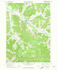
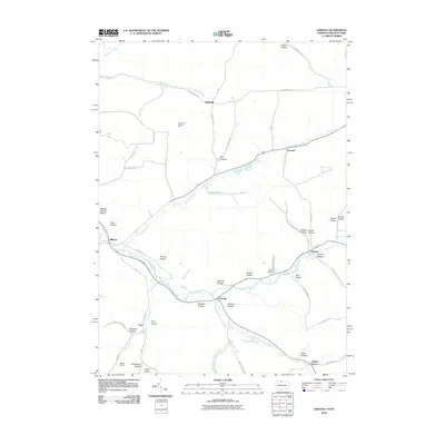
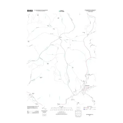
(31)- 1934 Map of Coudersport
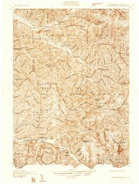 1934 Coudersport1934 Print · USGSPotter and McKean Counties appear here in the mid-1930s, showing a landscape of deep hollows and river-valley rail towns. Genealogists can trace family names through dozens of rural landmarks like Sartwell Cr Ch, Knowlton Station, and Shinglehouse.3 unique versions available
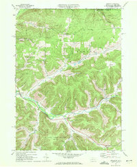
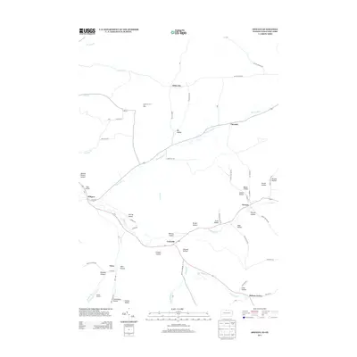
 - 1938 Map of Coudersport
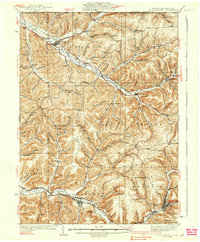 1938 Coudersport1938 Print · USGSNorthern Pennsylvania during the mid-1930s was a landscape of deep hollows and river-bottom settlements tied to the Allegheny and Oswayo. Researchers can trace the placement of rural landmarks like Crandall Hill Fire Tower, Sartwell Creek Ch, and the Plank Road Sch.3 unique versions available
 - 1957 Map of Warren, 1964 Print
 1957 Warren1964 Print · USGSThe northern Pennsylvania oil and timber country comes into focus in the mid-fifties, showing the region before modern highway expansions. Trace the industrial rail networks of the Pennsylvania RR and the early Allegheny River Reservoir near Warren and Oil City.4 unique versions available
 - 1958 Map of Warren
 1958 Warren1958 Print · USGSNorthern Pennsylvania’s timber and oil country is captured here during the late fifties, showing the interplay of industrial valleys and vast state forests. Genealogists can trace family connections across the Cornplanter Indian Reservation or through rail hubs like Oil City and Saint Marys.
 - 1959 Map of Warren
 1959 Warren1959 Print · USGSNorthern Pennsylvania's oil and timber country comes alive in this late-fifties study of the forest-clad plateaus. Trace the historic Cornplanter (Indian Reservation), the sprawling Oil Field, and the rail lines of the Pennsylvania RR.2 unique versions available
 - 1969 Map of Coudersport, 1972 Print
 1969 Coudersport1972 Print · USGSThe Allegheny River valley at the close of the sixties shows a landscape of deep hollows and growing industry. Trace the Old Allegheny Railroad Grade through Olmsted or locate family roots at St Eulalia Cem and the High Sch in Coudersport.3 unique versions available
 - 1969 Map of Roulette, 1972 Print
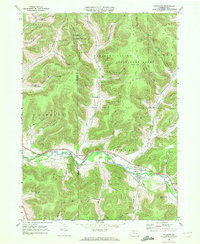 1969 Roulette1972 Print · USGSThe Allegheny River valley in Potter County comes into focus during the late sixties, showing a landscape shaped by timber, gas, and rail. Researchers can find family landmarks like Lyman Cem, the Drive-in Theater near Burtville, and an Old RR Grade.4 unique versions available
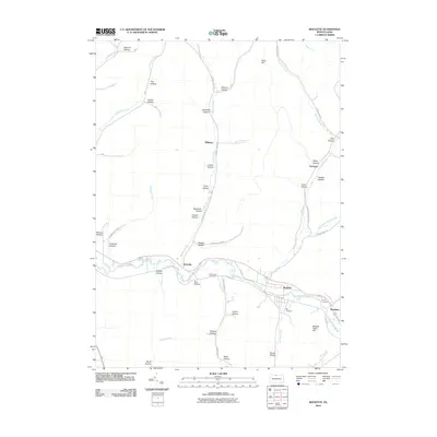
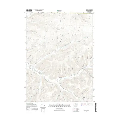
 - 1969 Map of Shinglehouse, 1972 Print
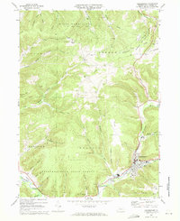
 1969 Shinglehouse1972 Print · USGSThe Oswayo Creek valley in the late sixties reveals a landscape shaped by the Shinglehouse Oil Field and the borough of Shinglehouse. Researchers can trace old family landmarks and rural communities from Myrtle and East Sharon to the Maple Grove Cem and Bell Run Union Ch.2 unique versions available
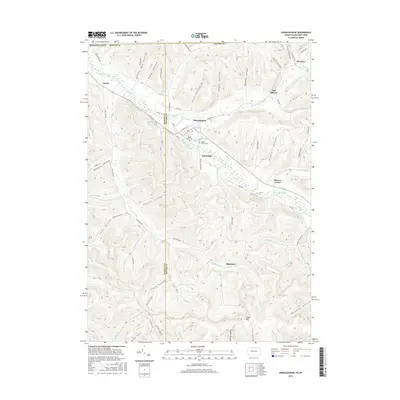
 - 1969 Map of Oswayo, 1972 Print
 1969 Oswayo1972 Print · USGSPotter County's northern hollows are captured here in the late sixties, showing a landscape shaped by petroleum extraction and old rail routes. Researchers can trace the Oswayo Creek Grade through Millport or locate family sites near the Rathbone Cem and Kibbeville.4 unique versions available
 - 1971 Map of Warren
 1971 Warren1971 Print · USGSNorth Central Pennsylvania is captured here in the early seventies, showing a landscape defined by industrial centers and massive state forests. Genealogists and historians can trace the rail lines of the Penn Central and Erie Lackawanna connecting towns like Warren, Kane, and Du Bois.
 - 1980 Map of Bradford, 1982 Print
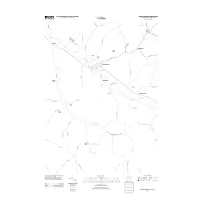
 1980 Bradford1982 Print · USGSNorthern Pennsylvania's oil country and deep forests are captured here during the 1980s. Genealogists and researchers can trace rail-side settlements like Kushequa, Gifford, and Lewis Run or locate specific Oil and Gas Field sites across the plateau.
 - 2010 Map of Shinglehouse, 2010 Print
 2010 Shinglehouse2010 Print · USGSCovers Clara Township, including Bolivar, Liberty Township, and other nearby areas
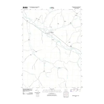
 - 2010 Map of Coudersport, 2010 Print
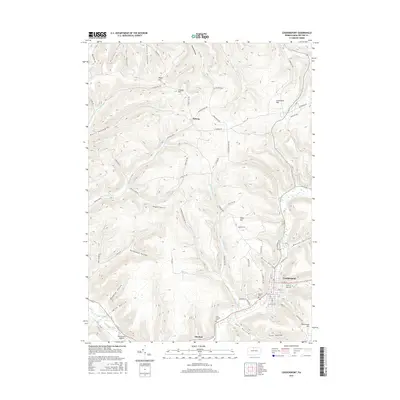
 2010 Coudersport2010 Print · USGSCovers Clara Township, including Roulette Township, Hebron Township, and other nearby areas
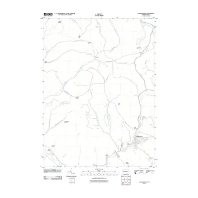
 - 2010 Map of Oswayo, 2010 Print
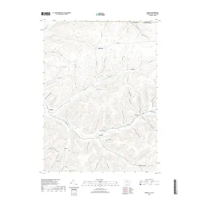
 2010 Oswayo2010 Print · USGSCovers Clara Township, including Bolivar, Alma, and other nearby areas
 - 2010 Map of Roulette, 2010 Print
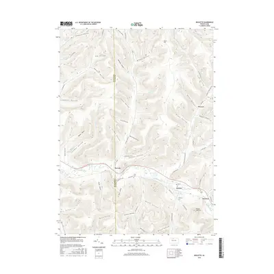
 2010 Roulette2010 Print · USGSCovers Clara Township, including Liberty Township, Roulette Township, and other nearby areas
 - 2013 Map of Roulette, 2013 Print
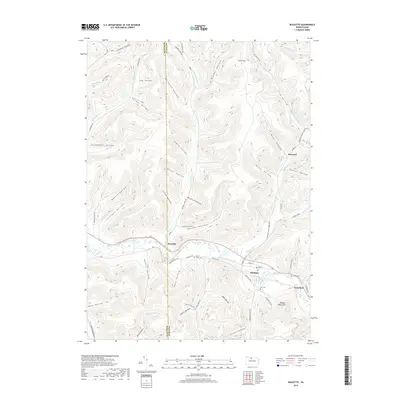
 2013 Roulette2013 Print · USGSCovers Clara Township, including Liberty Township, Roulette Township, and other nearby areas
 - 2013 Map of Shinglehouse, 2013 Print
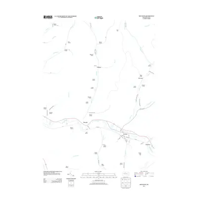
 2013 Shinglehouse2013 Print · USGSCovers Clara Township, including Bolivar, Liberty Township, and other nearby areas
 - 2013 Map of Coudersport, 2013 Print
 2013 Coudersport2013 Print · USGSCovers Clara Township, including Roulette Township, Hebron Township, and other nearby areas
 - 2013 Map of Oswayo, 2013 Print
 2013 Oswayo2013 Print · USGSCovers Clara Township, including Bolivar, Alma, and other nearby areas
 - 2016 Map of Oswayo, 2016 Print
 2016 Oswayo2016 Print · USGSCovers Clara Township, including Bolivar, Alma, and other nearby areas
 - 2016 Map of Shinglehouse, 2016 Print
 2016 Shinglehouse2016 Print · USGSCovers Clara Township, including Bolivar, Liberty Township, and other nearby areas
 - 2016 Map of Roulette, 2016 Print
 2016 Roulette2016 Print · USGSCovers Clara Township, including Liberty Township, Roulette Township, and other nearby areas
 - 2016 Map of Coudersport, 2016 Print
 2016 Coudersport2016 Print · USGSCovers Clara Township, including Roulette Township, Hebron Township, and other nearby areas
 - 2019 Map of Oswayo, 2019 Print
 2019 Oswayo2019 Print · USGSCovers Clara Township, including Bolivar, Alma, and other nearby areas
 - 2019 Map of Roulette, 2019 Print
 2019 Roulette2019 Print · USGSCovers Clara Township, including Liberty Township, Roulette Township, and other nearby areas
Showing maps 1-25 of 31
Top cities near Clara Township
- Wellsville historical maps
- Portville historical maps
- Port Allegany historical maps
- Bolivar historical maps
- Liberty Township historical maps
- Genesee historical maps
See more
Top neighborhoods of Clara Township
Frequently asked questions
- What are the different types of historical maps available for Clara Township?
- What is the oldest map of Clara Township?
- Where can I purchase historical maps of Clara Township for my home or office?
- Where can I download high-res historical maps of Clara Township?
- Are there historical topographic maps available for Clara Township?
- Is there historical aerial imagery available for Clara Township?
- Where are historical maps of Clara Township sourced from?