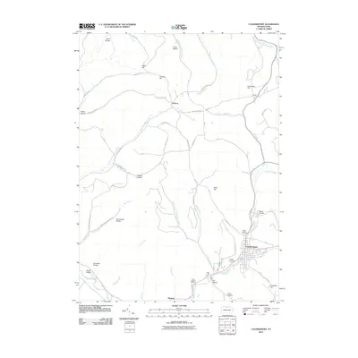
2010 Map of Coudersport
USGS Topo · Published 2010About this map
Coudersport serves as the focal point of this northern Pennsylvania landscape, situated at the confluence of Mill Creek and the Allegheny River. The town's layout is clearly defined, with Academy Hill Rd and 7th St marking its residential and commercial expansion toward the surrounding ridges. Just south of the town center, Eulalia Cemetery and Saint Eulalias Cemetery sit near the riverbanks, providing significant reference points for those researching family ties in the upper Allegheny region.
Find a feature on this map
55 named features on this map. Tap any name to fly to it.
Don’t see what you’re looking for? This feature index may not catch every label — zoom into the map to look around manually.
Map Details
Editions of this 2010 Coudersport Map
This is the sole edition of this map. No revisions or reprints were ever made.
Other maps of this area

1932 · Genesee
USGS Topo · 1:62,500

1934 · Coudersport
USGS Topo · 1:48,000

1937 · Genesee
USGS Topo · 1:62,500

1938 · Coudersport
USGS Topo · 1:62,500

1947 · Conrad
USGS Topo · 1:62,500

1947 · Ayers Hill
USGS Topo · 1:24,000

1948 · Emporium
USGS Topo · 1:62,500

1948 · Keating Summit
USGS Topo · 1:24,000
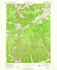
1948 · Austin
USGS Topo · 1:24,000
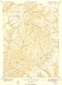
1949 · Ayers Hill
USGS Topo · 1:24,000
Featured Places
- Roulette Township, PA
- Hebron Township, PA
- Clara Township, PA
- Olmsted, Eulalia Township
- Eulalia Township, PA