2000s (21st Century) Maps of Barry Township, Pennsylvania
Explore 20 historic maps of Barry Township from the 2000s (21st Century). These maps offer a rare glimpse into what life looked like during the 2000s — showing old roads, neighborhoods, homes, and landmarks that have changed or disappeared over time.
Whether you're researching your family's past, planning a metal detecting trip, or studying how Barry Township's landscape evolved across the 2000s, these high-resolution maps are a powerful tool for exploring the history of this region.
- Focus on a specific era: All maps on this page are from the 2000s, giving you a focused view of this time period.
- See what’s changed: Compare century-old streets, trails, and buildings to today's modern landscape using overlays and satellite layers.
- Research with precision: Use these maps for genealogy, historical research, land use analysis, or educational projects.
- View, download, or print: Maps are fully viewable online in high resolution, and can be downloaded or printed for your own records.
Start exploring Barry Township's history through authentic maps from the 2000s. This is your window into the past.
Barry Township, PA maps
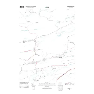
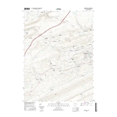
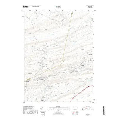
(20)- 2010 Map of Ashland, 2010 Print
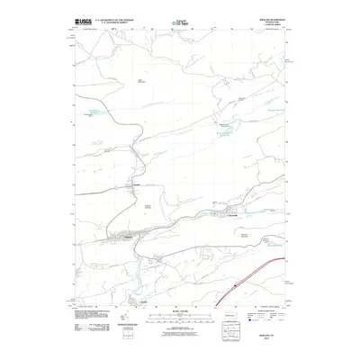 2010 Ashland2010 Print · USGSCovers Barry Township, including Girardville, Aristes, and other nearby areas
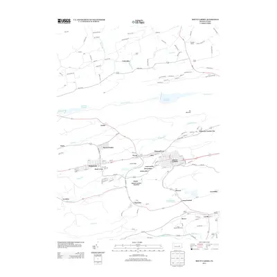
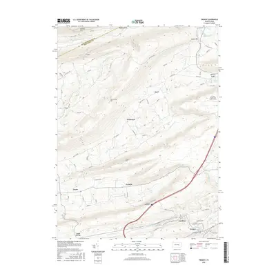
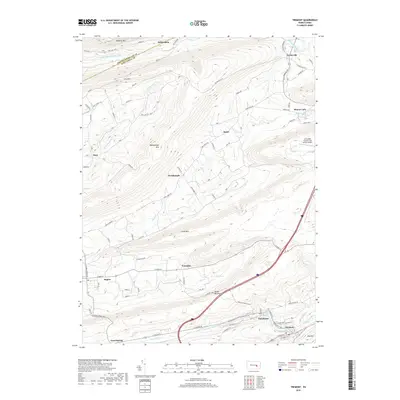
 - 2010 Map of Minersville, 2010 Print
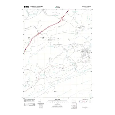 2010 Minersville2010 Print · USGSCovers Barry Township, including Minersville, Gordon, and other nearby areas
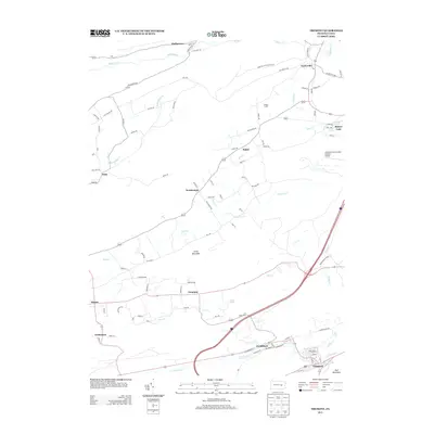
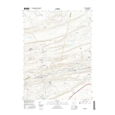
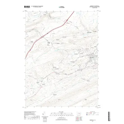
 - 2010 Map of Tremont, 2010 Print
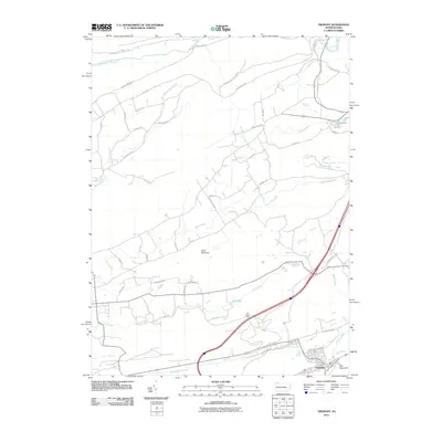 2010 Tremont2010 Print · USGSCovers Barry Township, including Hegins Township, Tremont, and other nearby areas
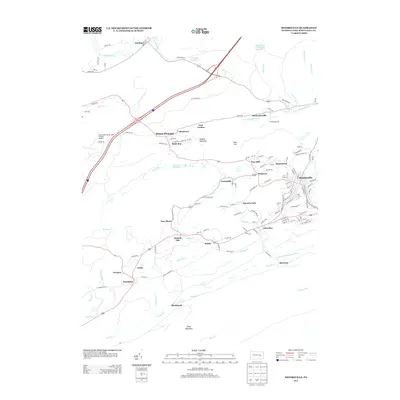
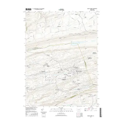
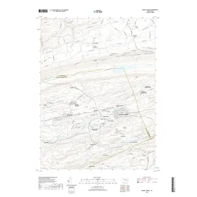
 - 2010 Map of Mount Carmel, 2010 Print
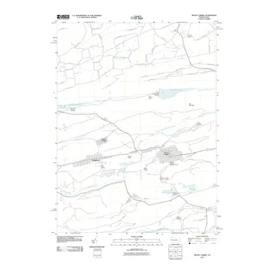 2010 Mount Carmel2010 Print · USGSCovers Barry Township, including Mount Carmel, Kulpmont, and other nearby areas
 - 2013 Map of Ashland, 2013 Print
 2013 Ashland2013 Print · USGSCovers Barry Township, including Girardville, Aristes, and other nearby areas
 - 2013 Map of Mount Carmel, 2013 Print
 2013 Mount Carmel2013 Print · USGSCovers Barry Township, including Mount Carmel, Kulpmont, and other nearby areas
 - 2013 Map of Tremont, 2013 Print
 2013 Tremont2013 Print · USGSCovers Barry Township, including Hegins Township, Tremont, and other nearby areas
 - 2013 Map of Minersville, 2013 Print
 2013 Minersville2013 Print · USGSCovers Barry Township, including Minersville, Gordon, and other nearby areas
 - 2016 Map of Minersville, 2016 Print
 2016 Minersville2016 Print · USGSCovers Barry Township, including Minersville, Gordon, and other nearby areas
 - 2016 Map of Ashland, 2016 Print
 2016 Ashland2016 Print · USGSCovers Barry Township, including Girardville, Aristes, and other nearby areas
 - 2016 Map of Mount Carmel, 2016 Print
 2016 Mount Carmel2016 Print · USGSCovers Barry Township, including Mount Carmel, Kulpmont, and other nearby areas
 - 2016 Map of Tremont, 2016 Print
 2016 Tremont2016 Print · USGSCovers Barry Township, including Hegins Township, Tremont, and other nearby areas
 - 2019 Map of Ashland, 2019 Print
 2019 Ashland2019 Print · USGSCovers Barry Township, including Girardville, Aristes, and other nearby areas
 - 2019 Map of Mount Carmel, 2019 Print
 2019 Mount Carmel2019 Print · USGSCovers Barry Township, including Mount Carmel, Kulpmont, and other nearby areas
 - 2019 Map of Tremont, 2019 Print
 2019 Tremont2019 Print · USGSCovers Barry Township, including Hegins Township, Tremont, and other nearby areas
 - 2019 Map of Minersville, 2019 Print
 2019 Minersville2019 Print · USGSCovers Barry Township, including Minersville, Gordon, and other nearby areas
 - 2023 Map of Tremont, 2023 Print
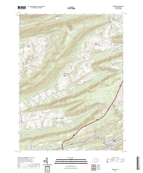 2023 Tremont2023 Print · USGSSchuylkill County's ridge-and-valley landscape is mapped here in detail, showing the coal region settlements of Tremont and Donaldson. Genealogists can locate family landmarks like the Fountain Community Cem and Zions Evangelical Congregational Church Cem.
 - 2023 Map of Minersville, 2023 Print
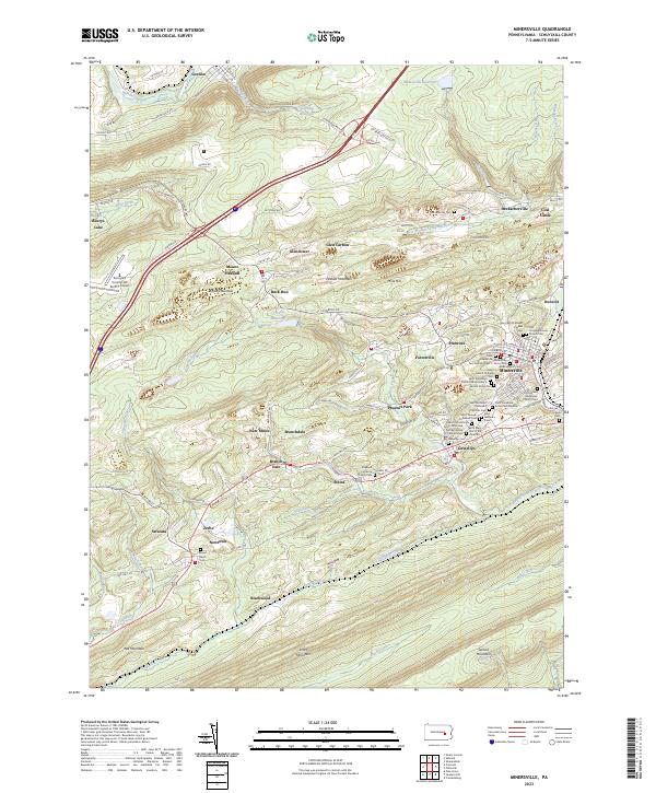 2023 Minersville2023 Print · USGSSchuylkill County's coal-country heritage is on full display in this recent survey of the ridges and valleys surrounding Minersville. Genealogists can locate numerous local burial sites like Saint Stanislaus Kosta Cem Number 1 and trace the paths of the West Branch Schuylkill River.
 - 2023 Map of Mount Carmel, 2023 Print
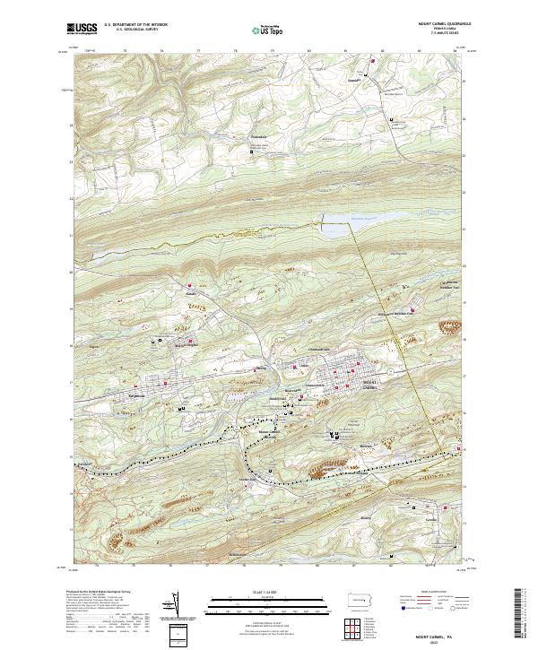 2023 Mount Carmel2023 Print · USGSThe coal-country settlements of eastern Pennsylvania are mapped here in detail during the early 2020s. Researchers can trace numerous family and parish sites, from Mount Carmel Cem to the early mining hubs at Natalie and Kulpmont.
 - 2023 Map of Ashland, 2023 Print
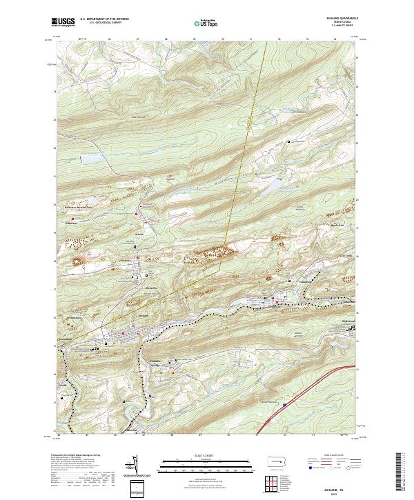 2023 Ashland2023 Print · USGSSchuylkill County mining towns and mountain ridges are captured in this modern survey of the anthracite coal region. Genealogists can locate numerous burial sites including Odd Fellows Cem and Saint Ignatius Cem near Centralia.
End of results
Showing maps 1-20 of 20
Top cities near Barry Township
- Pottsville historical maps
- Shamokin historical maps
- Mount Carmel historical maps
- Shenandoah historical maps
- Bethel Township historical maps
- Minersville historical maps
See more
Top neighborhoods of Barry Township
- Beurys Lake historical maps
- Mabel historical maps
- Taylorville historical maps
- Weishample historical maps
Frequently asked questions
- What are the different types of historical maps available for Barry Township?
- What is the oldest map of Barry Township?
- Where can I purchase historical maps of Barry Township for my home or office?
- Where can I download high-res historical maps of Barry Township?
- Are there historical topographic maps available for Barry Township?
- Is there historical aerial imagery available for Barry Township?
- Where are historical maps of Barry Township sourced from?