Old Maps of Northampton Township, Pennsylvania for Genealogy
Trace your family roots with 38 historic maps of Northampton Township. These high-res maps reveal old neighborhoods, homesites, landmarks, and streets — helping you uncover where your ancestors lived and how the area evolved over time.
- Explore historic neighborhoods: Identify where your relatives may have lived in the 1800s or 1900s.
- Compare maps over time: Trace the changes in streets, buildings, and landmarks for multi-generational research.
- Perfect for genealogy & ancestry research: Used by family historians and researchers to map out lineage and migration.
These maps are an incredible resource for exploring your personal connection to Northampton Township's past.
Northampton Township, PA maps
(38)- 1923 Map of Berlin
 1923 Berlin1923 Print · USGSSomerset County’s high ridges and deep valleys are documented in the early 1920s as the rail and mining industries shaped the local economy. Genealogists and researchers can locate numerous family-named landmarks and rural hubs, including Butners Mill, Sand Patch, and the Shipley Brothers Mine.3 unique versions available
 - 1929 Map of Berlin
 1929 Berlin1929 Print · USGSSomerset County is shown here in the late twenties, during the peak of the mountain coal and rail era. Genealogists and historians can trace family roots through dozens of rural landmarks like Whiteoak Churches, Salco Mines, and the Falls Cut Tunnel along the B&O line.3 unique versions available
 - 1944 Map of Berlin
 1944 Berlin1944 Print · USGSSomerset County was undergoing a major transformation in the 1940s as the Pennsylvania Turnpike and its Allegheny Tunnel modernised the landscape. Researchers can trace rural family roots at sites like Sandy Hollow Sch, Lebanon Ch, and old operations like the Salco Mines.
 - 1948 Map of Cumberland
 1948 Cumberland1948 Print · USGSMid-century Appalachia and the Shenandoah Valley are shown in detail, documenting the industrial and transportation hubs of the tri-state area. Genealogists can trace family roots through settlements like Double Tollgate and Bunker Hill or along the Baltimore & Ohio RR.3 unique versions available
 - 1952 Map of Cumberland
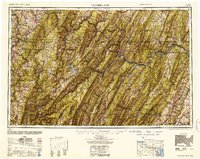 1952 Cumberland1952 Print · USGSThe Potomac Highlands and the Shenandoah Valley are revealed in this early 1950s survey of the Appalachian interior. Researchers can trace the river-and-rail corridors connecting Cumberland, Winchester, and the recreational waters of Deep Creek Lake.
 - 1956 Map of Cumberland, 1966 Print
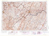 1956 Cumberland1966 Print · USGSThe tri-state Highlands in the mid-1950s show a landscape shaped by coal, timber, and the massive presence of the Baltimore & Ohio RR. Researchers can trace the industrial corridor from Cumberland through the Allegheny Mountains to mountain retreats like Deep Creek Lake.6 unique versions available
 - 1957 Map of Cumberland
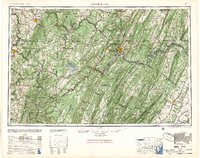 1957 Cumberland1957 Print · USGSThe Potomac River valley and the ridges of the Allegheny Front define this mid-century landscape at the intersection of Maryland, West Virginia, and Pennsylvania. Trace the steam-era rail lines of the Baltimore and Ohio RR or locate rural landmarks like St Stephens Church and Stony River Dam.
 - 1961 Map of Cumberland
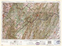 1961 Cumberland1961 Print · USGSThe tri-state highlands of Maryland, West Virginia, and Pennsylvania are shown in the mid-twentieth century as a complex landscape of ridges and river valleys. Researchers can trace the winding Potomac River and find old rail-and-river towns like Cumberland, Keyser, and Morgantown.
 - 1962 Map of Cumberland
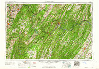 1962 Cumberland1962 Print · USGSThe central Appalachians meet at the height of the mid-century industrial era, showing the rugged topography between Morgantown and Winchester. Genealogists can trace family lands near Fort Necessity or along the vital Baltimore & Ohio RR corridors.
 - 1967 Map of New Baltimore, 1970 Print
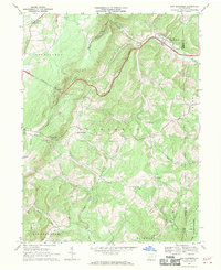 1967 New Baltimore1970 Print · USGSSomerset County's mountain landscape is captured here in the late sixties, showing the intersection of the Pennsylvania Turnpike and the winding Raystown Branch Juniata River. Genealogists can locate country churches and cemeteries like Sarver Ch and St Johns Cem, or trace old property lines near Glen Savage.3 unique versions available
 - 1967 Map of Fairhope, 1970 Print
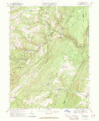 1967 Fairhope1970 Print · USGSSomerset County in the late sixties reveals a landscape of deep valleys and mountain ridges shaped by the Baltimore and Ohio railroad. Genealogists and historians can locate rural landmarks such as Kennells Mill, the Falls Cut Tunnel, and the Covered Bridge near Johnsburg.3 unique versions available
 - 1967 Map of Berlin, 1970 Print
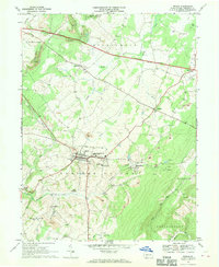 1967 Berlin1970 Print · USGSSomerset County is captured in the late sixties as a center of coal mining and rural crossroads. Researchers can trace the BALTIMORE AND OHIO rail lines to industrial sites like Salco or locate community landmarks such as Hillcrest Grange and St Michaels Ch.5 unique versions available
 - 1967 Map of Wittenberg, 1970 Print
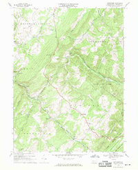 1967 Wittenberg1970 Print · USGSSomerset County's high ridges and deep rail cuts are captured in the late sixties as heavy freight lines crossed the Allegheny Front. Researchers can trace historic industrial sites like Hays Mill, the vital Sand Patch Tunnel, and old mountain churches like St Johns Ch.4 unique versions available
 - 1977 Map of Berlin, 1978 Print
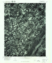 1977 Berlin1978 Print · USGSSomerset County agriculture and industry are captured in high detail in the late seventies. Genealogists and local researchers can trace family lands near Berlin and identify the specific layouts of small settlements like Macdonaldton and Shaft.
 - 1977 Map of New Baltimore, 1979 Print
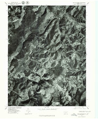 1977 New Baltimore1979 Print · USGSThe Somerset County countryside comes into focus in the late seventies, showing the intricate patchwork of farms and timber along the Raystown Branch Juniata River. Trace the rural layout of New Baltimore, Mt Zion, and the high terrain of Dividing Ridge.
 - 1977 Map of Wittenburg, 1979 Print
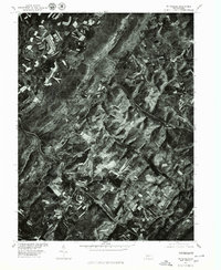 1977 Wittenburg1979 Print · USGSSomerset County agriculture and topography are captured during the late seventies, showing the intricate patterns of contour farming across the ridges. Genealogists and local historians can trace the rural layouts of Wittenberg and Philson along the banks of Wills Creek.
 - 1977 Map of Fairhope, 1979 Print
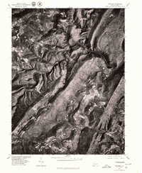 1977 Fairhope1979 Print · USGSSomerset County in the late seventies is seen through high-altitude aerial imagery, capturing the steep ridges and narrow valleys of the Allegheny Front. Local historians can trace small rural clusters like Fairhope, Pinnells Mills, and Glencoe.
 - 1981 Map of Cumberland, 1982 Print
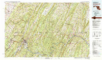 1981 Cumberland1982 Print · USGSThe tri-state region of Maryland, Pennsylvania, and West Virginia is captured here in the early eighties as a landscape of industrial history and ridgeline geography. Researchers can trace the heritage of the C & O Canal and the B & O RR through mountain gaps and coal towns like Eckhart Mines and Frostburg.2 unique versions available
 - 2010 Map of New Baltimore, 2010 Print
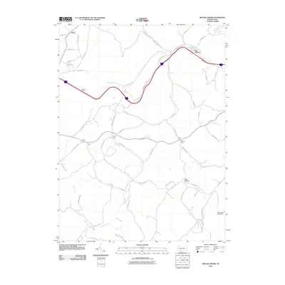 2010 New Baltimore2010 Print · USGSSomerset County in the early twenty-first century remains defined by its deep valleys and significant mountain crossings. Local historians can trace the legacy of settlements like New Baltimore and Glen Savage or locate the historic Allegheny Tunnel and Deeters Gap.
 - 2010 Map of Fairhope, 2010 Print
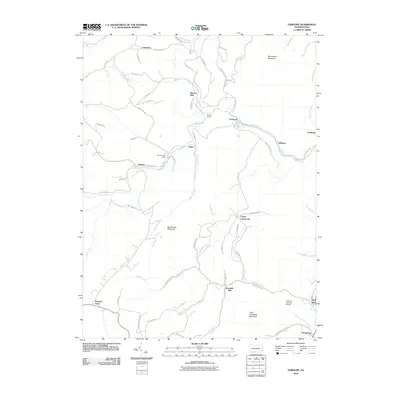 2010 Fairhope2010 Print · USGSSomerset County’s high ridges and creek valleys are documented here at the turn of the twenty-first century. Researchers can trace historic industrial sites like Bittners Mill and engineering landmarks such as the Falls Cut Tunnel and Fitchner Covered Bridge.
 - 2010 Map of Berlin, 2010 Print
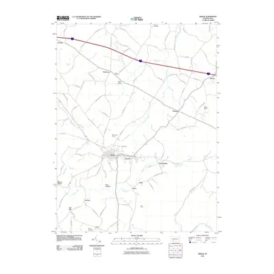 2010 Berlin2010 Print · USGSThe borough of Berlin and its neighboring coal-mining districts are captured here in the early twenty-first century. Genealogists and local historians can locate family burial sites at Pike Cemetery or trace the industrial footprints of the Shipley Brothers Mine and Salco Mines.
 - 2010 Map of Wittenberg, 2010 Print
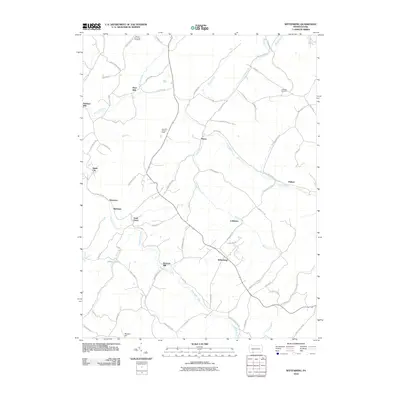 2010 Wittenberg2010 Print · USGSSomerset County’s rural highlands appear in great detail during the early 2000s, showing a landscape shaped by narrow creek valleys and historical crossroads. Genealogists and local historians can trace family-named sites like Hays Mill, Warrens Mill, and the Mount Zion-Hays Cemetery.
 - 2013 Map of New Baltimore, 2013 Print
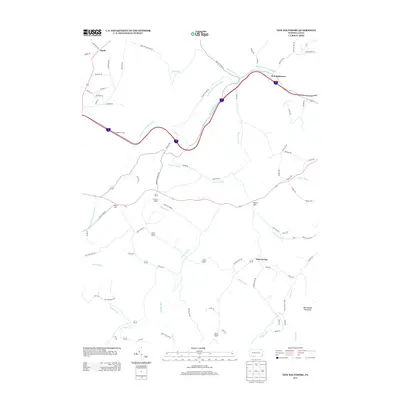 2013 New Baltimore2013 Print · USGSSomerset County’s high ridges and river valleys are captured here in the early twenty-first century as the modern interstate cuts through the mountains. Researchers can trace rural lineages across New Baltimore, Glen Savage, and the passage at Deeters Gap.
 - 2013 Map of Fairhope, 2013 Print
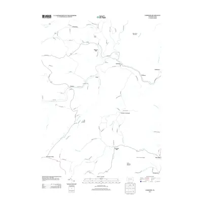 2013 Fairhope2013 Print · USGSSomerset County in the early twenty-first century reveals a landscape shaped by water and high ridges. Genealogists and historians can trace the foundations of local industry and transit at Bittners Mill, the Falls Cut Tunnel, and the Fitchner Covered Bridge.
 - 2013 Map of Berlin, 2013 Print
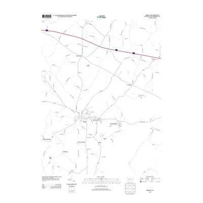 2013 Berlin2013 Print · USGSSomerset County's coal and agricultural roots are on full display in this survey from the early 2010s. Genealogists and local historians can trace the geography of old mining sites like the Salco Mines and Shaft, or find family landmarks such as Hillcrest Grange and Pennwood Farms.
Showing maps 1-25 of 38
Top cities near Northampton Township
- Cumberland historical maps
- Frostburg historical maps
- Somerset historical maps
- La Vale historical maps
- Meyersdale historical maps
- Napier Township historical maps
See more
Top neighborhoods of Northampton Township
- Foley historical maps
- Glencoe historical maps
- Johnsburg historical maps
- Philson historical maps
- Mance historical maps
Frequently asked questions
- What are the different types of historical maps available for Northampton Township?
- What is the oldest map of Northampton Township?
- Where can I purchase historical maps of Northampton Township for my home or office?
- Where can I download high-res historical maps of Northampton Township?
- Are there historical topographic maps available for Northampton Township?
- Is there historical aerial imagery available for Northampton Township?
- Where are historical maps of Northampton Township sourced from?