2000s (21st Century) Maps of Summit Township, Pennsylvania
Explore 25 historic maps of Summit Township from the 2000s (21st Century). These maps offer a rare glimpse into what life looked like during the 2000s — showing old roads, neighborhoods, homes, and landmarks that have changed or disappeared over time.
Whether you're researching your family's past, planning a metal detecting trip, or studying how Summit Township's landscape evolved across the 2000s, these high-resolution maps are a powerful tool for exploring the history of this region.
- Focus on a specific era: All maps on this page are from the 2000s, giving you a focused view of this time period.
- See what’s changed: Compare century-old streets, trails, and buildings to today's modern landscape using overlays and satellite layers.
- Research with precision: Use these maps for genealogy, historical research, land use analysis, or educational projects.
- View, download, or print: Maps are fully viewable online in high resolution, and can be downloaded or printed for your own records.
Start exploring Summit Township's history through authentic maps from the 2000s. This is your window into the past.
Summit Township, PA maps
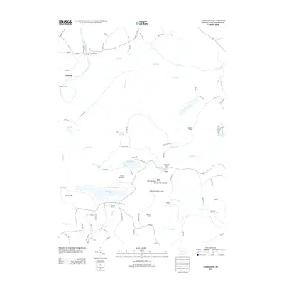
(25)- 2010 Map of Markleton, 2010 Print
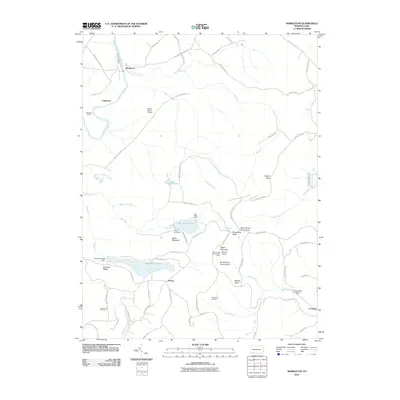 2010 Markleton2010 Print · USGSCovers Summit Township, including Elk Lick Township, Upper Turkeyfoot Township, and other nearby areas
 - 2010 Map of Meyersdale, 2010 Print
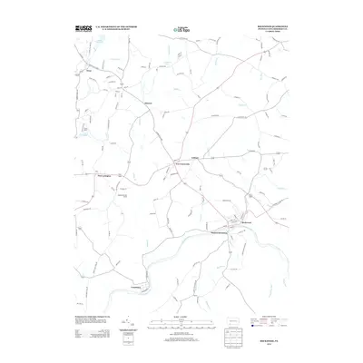
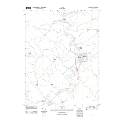 2010 Meyersdale2010 Print · USGSCovers Summit Township, including Meyersdale, Salisbury, and other nearby areas
 - 2010 Map of Rockwood, 2010 Print
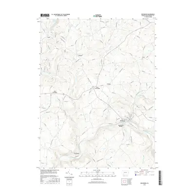
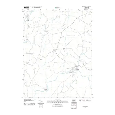 2010 Rockwood2010 Print · USGSCovers Summit Township, including Rockwood, New Centerville, and other nearby areas
 - 2010 Map of Murdock, 2010 Print
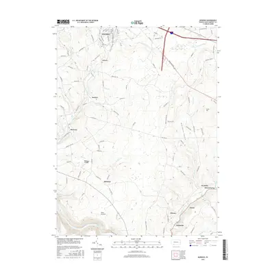
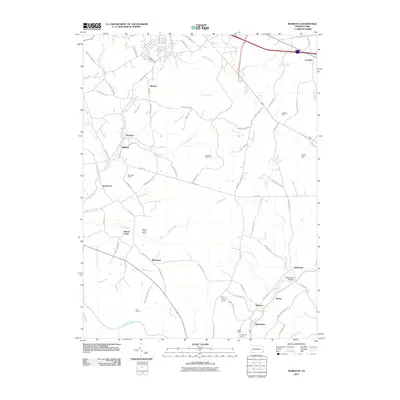 2010 Murdock2010 Print · USGSCovers Summit Township, including Somerset, Milford, and other nearby areas
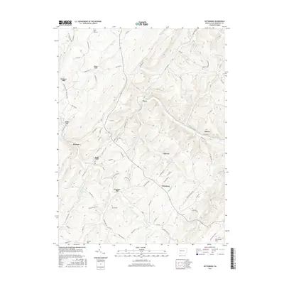
 - 2010 Map of Wittenberg, 2010 Print
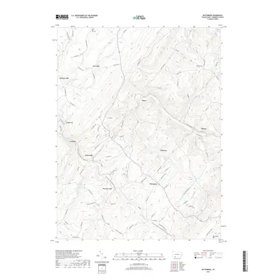
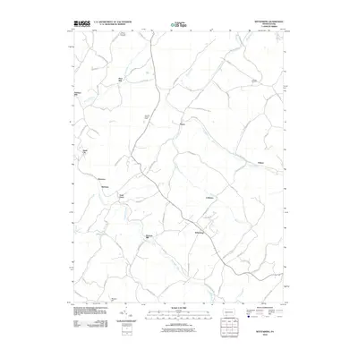 2010 Wittenberg2010 Print · USGSCovers Summit Township, including Callimont, Greenville Township, and other nearby areas
 - 2013 Map of Rockwood, 2013 Print
 2013 Rockwood2013 Print · USGSCovers Summit Township, including Rockwood, New Centerville, and other nearby areas
 - 2013 Map of Murdock, 2013 Print
 2013 Murdock2013 Print · USGSCovers Summit Township, including Somerset, Milford, and other nearby areas
 - 2013 Map of Markleton, 2013 Print
 2013 Markleton2013 Print · USGSCovers Summit Township, including Elk Lick Township, Upper Turkeyfoot Township, and other nearby areas
 - 2013 Map of Meyersdale, 2013 Print
 2013 Meyersdale2013 Print · USGSCovers Summit Township, including Meyersdale, Salisbury, and other nearby areas
 - 2013 Map of Wittenberg, 2013 Print
 2013 Wittenberg2013 Print · USGSCovers Summit Township, including Callimont, Greenville Township, and other nearby areas
 - 2016 Map of Meyersdale, 2016 Print
 2016 Meyersdale2016 Print · USGSCovers Summit Township, including Meyersdale, Salisbury, and other nearby areas
 - 2016 Map of Markleton, 2016 Print
 2016 Markleton2016 Print · USGSCovers Summit Township, including Elk Lick Township, Upper Turkeyfoot Township, and other nearby areas
 - 2016 Map of Wittenberg, 2016 Print
 2016 Wittenberg2016 Print · USGSCovers Summit Township, including Callimont, Greenville Township, and other nearby areas
 - 2016 Map of Murdock, 2016 Print
 2016 Murdock2016 Print · USGSCovers Summit Township, including Somerset, Milford, and other nearby areas
 - 2016 Map of Rockwood, 2016 Print
 2016 Rockwood2016 Print · USGSCovers Summit Township, including Rockwood, New Centerville, and other nearby areas
 - 2019 Map of Wittenberg, 2019 Print
 2019 Wittenberg2019 Print · USGSCovers Summit Township, including Callimont, Greenville Township, and other nearby areas
 - 2019 Map of Murdock, 2019 Print
 2019 Murdock2019 Print · USGSCovers Summit Township, including Somerset, Milford, and other nearby areas
 - 2019 Map of Rockwood, 2019 Print
 2019 Rockwood2019 Print · USGSCovers Summit Township, including Rockwood, New Centerville, and other nearby areas
 - 2019 Map of Markleton, 2019 Print
 2019 Markleton2019 Print · USGSCovers Summit Township, including Elk Lick Township, Upper Turkeyfoot Township, and other nearby areas
 - 2019 Map of Meyersdale, 2019 Print
 2019 Meyersdale2019 Print · USGSCovers Summit Township, including Meyersdale, Salisbury, and other nearby areas
 - 2023 Map of Rockwood, 2023 Print
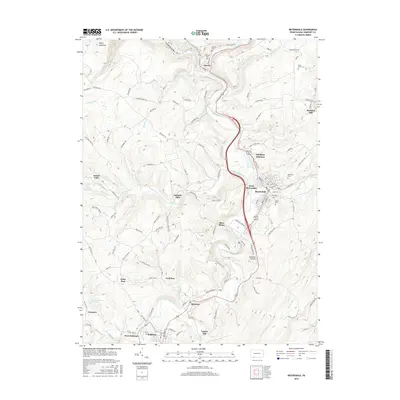
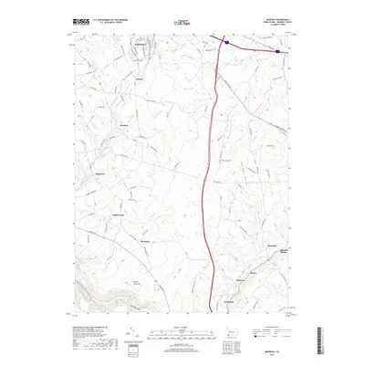
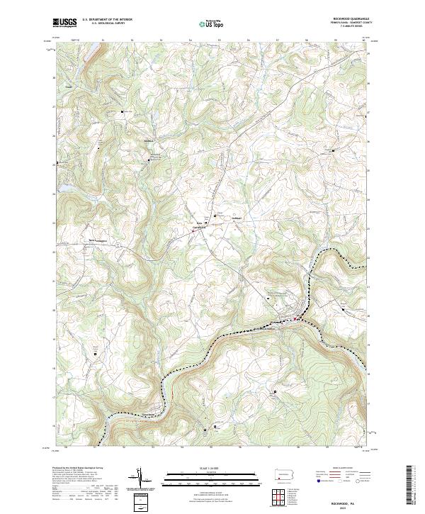 2023 Rockwood2023 Print · USGSThe Casselman River valley and its surrounding Somerset County highlands appear in this modern survey. Genealogists can trace family burial sites at Cramer-King Cem and Mount Union Cem while following the rail history at Rockwood Station.
 - 2023 Map of Meyersdale, 2023 Print
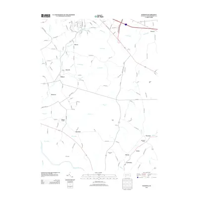
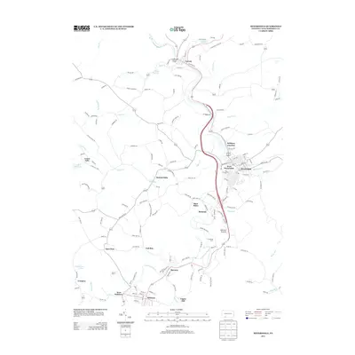
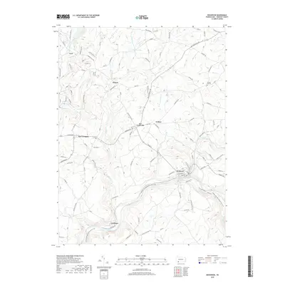
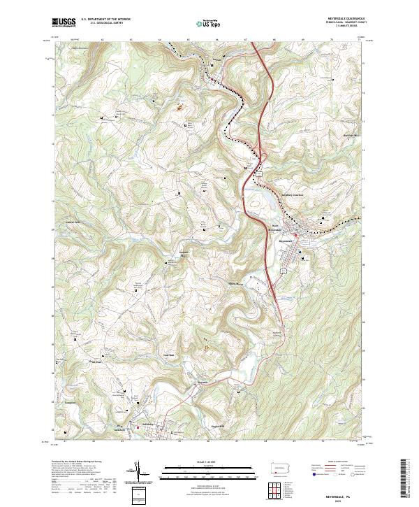 2023 Meyersdale2023 Print · USGSSomerset County's river-carved valleys are documented here in the early twenty-first century, showing the enduring footprint of Appalachian mining and farming. Researchers can trace numerous family burial grounds and early industrial sites like Shaw Mines, Berkleys Mill, and the Summit Mills Amish Church Cem.
 - 2023 Map of Murdock, 2023 Print
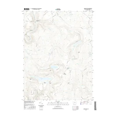
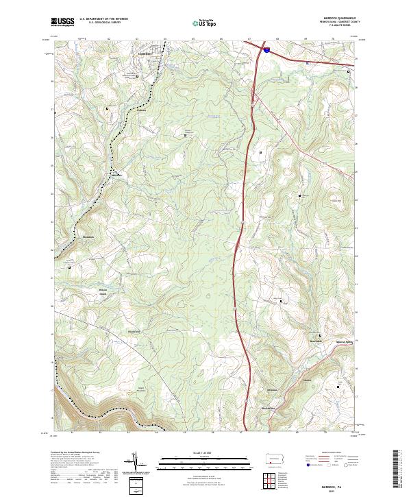 2023 Murdock2023 Print · USGSSomerset County's rural highlands and mining communities are documented here in the early twenty-first century. Researchers can locate numerous family burial grounds like Ankeny Cem and Wills Church Cem, or trace the path of E Mud Pike Rd through Beachdale.
 - 2023 Map of Markleton, 2023 Print
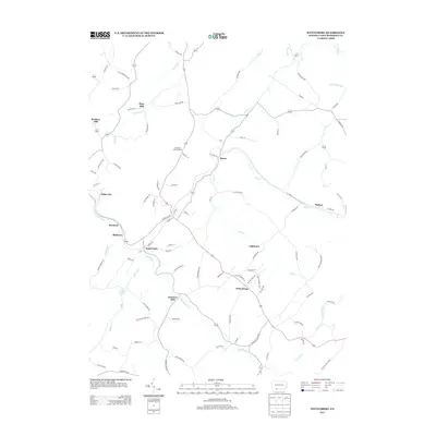
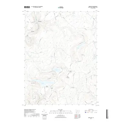
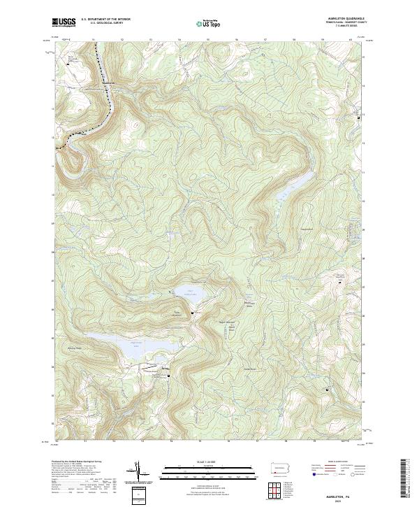 2023 Markleton2023 Print · USGSThe high Allegheny ridges of Somerset County come into focus here during the early 2020s, dominated by the summit of Mount Davis. Local historians can trace family land markers and remote burial sites like Vought Cem and the Old Jonas Maust Farm Cem.
 - 2023 Map of Wittenberg, 2023 Print
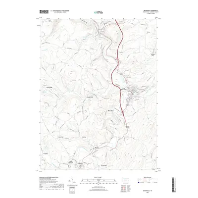
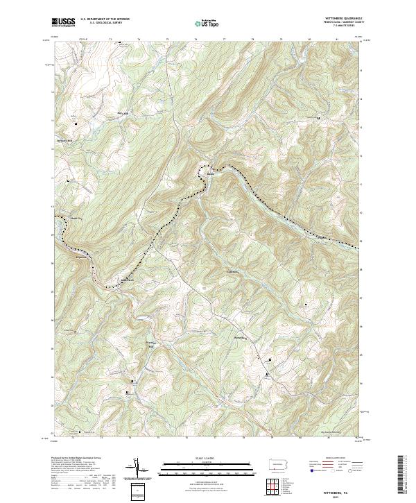 2023 Wittenberg2023 Print · USGSSomerset County in the twenty-first century remains a landscape of mountain hollows and historic mill sites. Genealogists and local historians can trace family roots through numerous burial sites like Klingaman Cem and Temple Cem near Wittenberg.
End of results
Showing maps 1-25 of 25
Top cities near Summit Township
- Frostburg historical maps
- Somerset historical maps
- Meyersdale historical maps
- Berlin historical maps
- Milford historical maps
- Eckhart Mines historical maps
See more
Top neighborhoods of Summit Township
- Laurel Falls historical maps
- Romania historical maps
- Summit Mills historical maps
- West Meyersdale historical maps
- Berkleys Mill historical maps
- Glade City historical maps
Frequently asked questions
- What are the different types of historical maps available for Summit Township?
- What is the oldest map of Summit Township?
- Where can I purchase historical maps of Summit Township for my home or office?
- Where can I download high-res historical maps of Summit Township?
- Are there historical topographic maps available for Summit Township?
- Is there historical aerial imagery available for Summit Township?
- Where are historical maps of Summit Township sourced from?