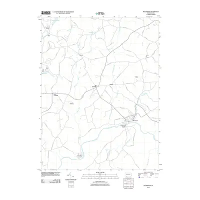
2010 Map of Rockwood
USGS Topo · Published 2010About this map
Rockwood sits at the convergence of mountain streams and rail lines in Somerset County, where the Casselman River meets Coxes Creek and Wilson Creek. This landscape is defined by its small settlements and complex water network, including New Centerville, Gebhart, and Kimmel. The geography here reflects a transition between natural recreation areas and local commerce, anchored by the Rockwood Station on the riverbank. Significant local infrastructure is noted through the Laurel Hill Lake Dam and Lost Creek Dam, which manage the flow of the Laurel Hill Creek drainage. Cultural and community landmarks like Pleasant Hill Cemetery and the Middlecreek Golf Course provide genealogical and social context for the region, while the presence of Sayler Airport north of Rockwood indicates the modern transportation footprint in this rural Pennsylvania corridor.
Find a feature on this map
80 named features on this map. Tap any name to fly to it.
Don’t see what you’re looking for? This feature index may not catch every label — zoom into the map to look around manually.
Map Details
Editions of this 2010 Rockwood Map
This is the sole edition of this map. No revisions or reprints were ever made.
Other maps of this area

1913 · Somerset
USGS Topo · 1:62,500

1915 · Somerset
USGS Topo · 1:62,500

1921 · Meyersdale
USGS Topo · 1:62,500

1922 · Confluence
USGS Topo · 1:62,500

1922 · Donegal
USGS Topo · 1:62,500

1931 · Confluence
USGS Topo · 1:62,500

1933 · Confluence
USGS Topo · 1:62,500

1935 · Donegal
USGS Topo · 1:62,500

1939 · Meyersdale
USGS Topo · 1:62,500

1944 · Somerset
USGS Topo · 1:62,500