1944 Map of Somerset
USGS Topo · Published 1944About this map
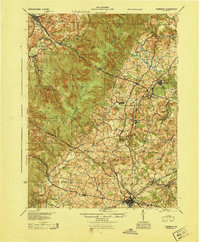
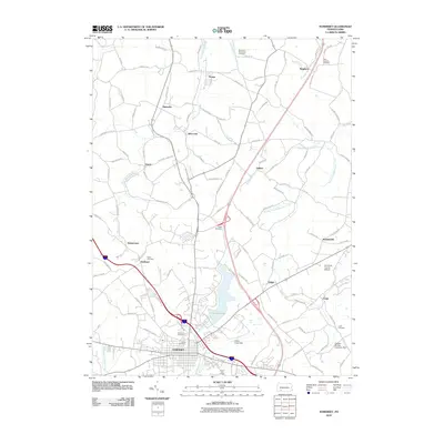
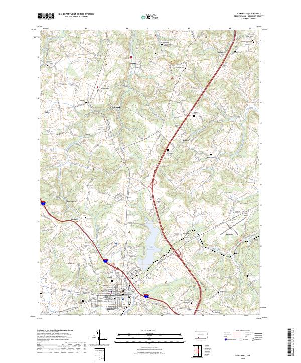
The crest of Laurel Hill divides this portion of the Laurel Highlands, separating the drainage of Ligonier from the plateau of Somerset. This 1944 survey captures a critical moment in American transportation history, showing the relatively new Pennsylvania Turnpike cutting across the landscape alongside the older Lincoln Highway and the Pittsburgh and Philadelphia Road. The map reveals a dense network of rural infrastructure, including a staggering number of named one-room schoolhouses such as Hermitage Sch, Master Sch, and Samuels Sch, which served the farming communities clustered around Jennerstown and Boswell. The presence of Sipesville Station and Rector Byers Sta along the Baltimore and Ohio RR and Pennsylvania RR lines illustrates the continuing reliance on rail for moving coal and timber from the ridges to the industrial valleys beyond.
Find a feature on this map
117 named features on this map. Tap any name to fly to it.
Don’t see what you’re looking for? This feature index may not catch every label — zoom into the map to look around manually.
Map Details
Editions of this 1944 Somerset Map
This is the sole edition of this map. No revisions or reprints were ever made.
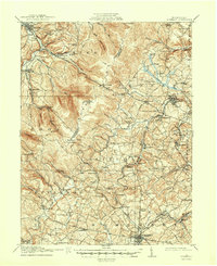
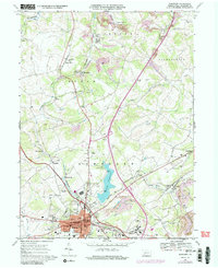
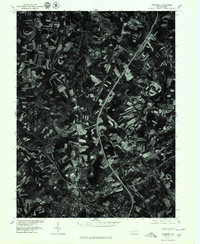
Historical Maps of Somerset Through Time
10 maps found

1913 Somerset
Somerset County, PA
1915 Somerset
Somerset County, PA
1944 Somerset
Somerset County, PA
1967 Somerset
Somerset County, PA
1977 Somerset
Somerset County, PA
2010 Somerset
Somerset County, PA
2013 Somerset
Somerset County, PA
2016 Somerset
Somerset County, PA
2019 Somerset
Somerset County, PA
2023 Somerset
Somerset County, PA