2010s Maps of Cornplanter Township, Pennsylvania
Explore 16 historic maps of Cornplanter Township from the 2010s. These maps offer a rare glimpse into what life looked like during the 2010s — showing old roads, neighborhoods, homes, and landmarks that have changed or disappeared over time.
Whether you're researching your family's past, planning a metal detecting trip, or studying how Cornplanter Township's landscape evolved across the 2010s, these high-resolution maps are a powerful tool for exploring the history of this region.
- Focus on a specific era: All maps on this page are from the 2010s, giving you a focused view of this time period.
- See what’s changed: Compare century-old streets, trails, and buildings to today's modern landscape using overlays and satellite layers.
- Research with precision: Use these maps for genealogy, historical research, land use analysis, or educational projects.
- View, download, or print: Maps are fully viewable online in high resolution, and can be downloaded or printed for your own records.
Start exploring Cornplanter Township's history through authentic maps from the 2010s. This is your window into the past.
Cornplanter Township, PA maps
(16)- 2010 Map of President, 2010 Print
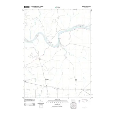 2010 President2010 Print · USGSThe Allegheny River valley comes into sharp focus during the early twenty-first century, showing the enduring riverside settlements and rugged interior of Venango County. Genealogists and historians can locate family-named sites like Holeman Cemetery, Henrys Bend, and the Clapp Lease.
 - 2010 Map of Oil City, 2010 Print
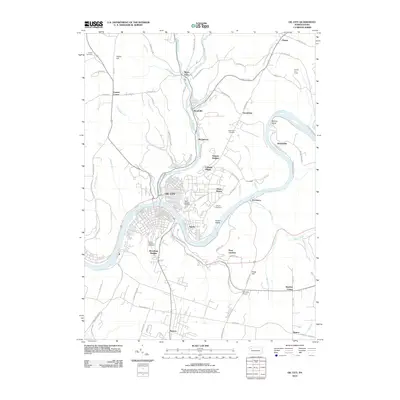 2010 Oil City2010 Print · USGSThe riverfront neighborhoods and upland developments of Venango County are captured here in the early twenty-first century. Genealogists and local historians can trace family plots at Saint Josephs or explore the hills around Rouseville and Siverly.
 - 2010 Map of Pleasantville, 2010 Print
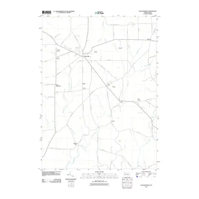 2010 Pleasantville2010 Print · USGSVenango County's oil heritage is on full display in this early 21st-century record of the Pennsylvania countryside. Researchers can trace the legacy of boomtowns and local families through sites like Pithole City, Pleasantville Oil Field, and Asbury Chapel Cemetery.
 - 2010 Map of Titusville South, 2010 Print
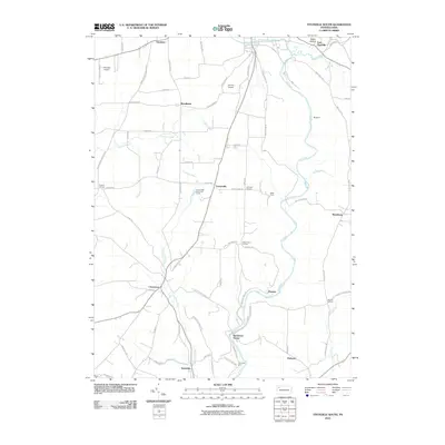 2010 Titusville South2010 Print · USGSThe Pennsylvania Oil Region south of Titusville is shown here in the early twenty-first century, centered on the winding Oil Creek. Genealogists and historians can trace the heritage of local industry through sites like Petroleum Center and Columbia Farm.
 - 2013 Map of President, 2013 Print
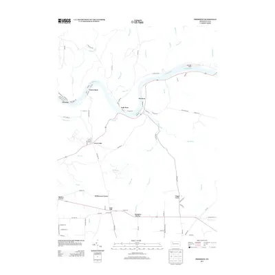 2013 President2013 Print · USGSThe winding curves of the Allegheny River define this Venango County landscape in the early twenty-first century. Researchers can trace the legacy of small riverside settlements like Oleopolis and Henrys Bend, or locate inland landmarks such as Hampton Station and Coal Hill.
 - 2013 Map of Pleasantville, 2013 Print
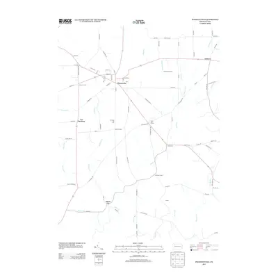 2013 Pleasantville2013 Print · USGSPleasantville and the surrounding Venango County oil country are detailed here during the early twenty-first century. Researchers can trace the legacy of the petroleum industry through the Shamburg Oil Field and locate historic crossroads like Pithole City and Jerusalem Corners.
 - 2013 Map of Oil City, 2013 Print
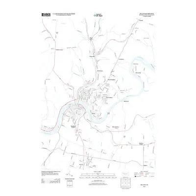 2013 Oil City2013 Print · USGSVenango County's river valleys and hillsides are captured in this modern survey of the region. Local researchers can trace residential growth and land use from Rouseville to Seneca, including landmarks like the Plumer Fire Tower and Alcorn Island.
 - 2013 Map of Titusville South, 2013 Print
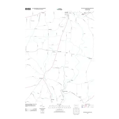 2013 Titusville South2013 Print · USGSThe Titusville area and the Oil Creek valley are shown here in the early twenty-first century, preserving the footprint of the world's first oil boom. Researchers can trace historic industrial sites like Petroleum Center, Columbia Farm, and the unique Oil Seeps along the riverbanks.
 - 2016 Map of Oil City, 2016 Print
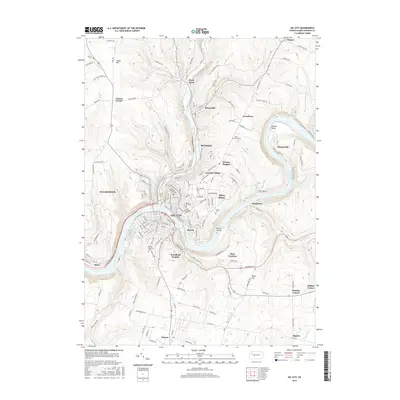 2016 Oil City2016 Print · USGSVenango County during the mid-2010s shows a landscape deeply shaped by the petroleum industry and the winding Allegheny River. Researchers can trace the layout of OIL CITY, find family plots at Grove Hill Cem or Mount Pleasant Cem, and locate the modern Oil City High Sch.
 - 2016 Map of President, 2016 Print
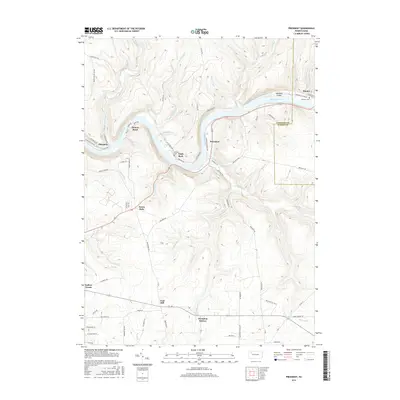 2016 President2016 Print · USGSThe Allegheny River corridor in Venango County is shown in detail during the mid-2010s, capturing the winding river valley and its upland settlements. Researchers can trace family history at McCrea Cem or locate old rail and river sites like Hampton Station and Oleopolis.
 - 2016 Map of Titusville South, 2016 Print
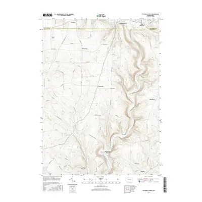 2016 Titusville South2016 Print · USGSThe oil heritage of the Venango and Crawford county line is captured here in the late twenty-first century. Genealogists and historians can trace family locations and old routes through Petroleum Center, Plumer, and along the banks of Oil Creek.
 - 2016 Map of Pleasantville, 2016 Print
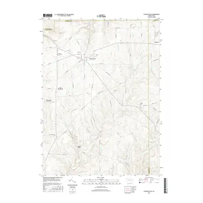 2016 Pleasantville2016 Print · USGSVenango County's legendary oil heritage is preserved in this modern study of the hills and hollows surrounding the borough of Pleasantville. Researchers can trace old family names and settlements like Pithole City, Neilltown, and Shamburg, or locate burials at Concord Cem.
 - 2019 Map of Pleasantville, 2019 Print
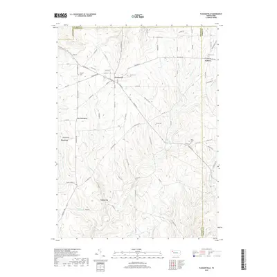 2019 Pleasantville2019 Print · USGSThe Venango County hills appear here in the early twenty-first century, showcasing the terrain of Pennsylvania's historic oil country. Researchers can trace the layout of Pithole City, locate Asbury Chapel, or find family names at Fairview Cem and Neilltown Cem.
 - 2019 Map of President, 2019 Print
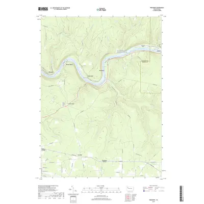 2019 President2019 Print · USGSThe Allegheny River corridor in Venango County comes into sharp focus here during the early twenty-first century. Local history researchers can trace the river settlements of Oleopolis and Henrys Bend or locate family burial sites at Holeman Cem and McCrea Cem.
 - 2019 Map of Titusville South, 2019 Print
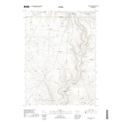 2019 Titusville South2019 Print · USGSThe Pennsylvania oil region comes into focus in this recent survey of the valley south of Titusville. Local historians can trace the heritage of the boom era through Petroleum Center, Oil Seeps, and the grounds of Kerr Hill Cem.
 - 2019 Map of Oil City, 2019 Print
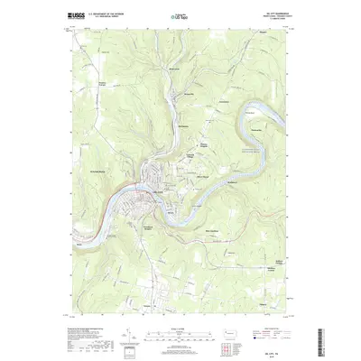 2019 Oil City2019 Print · USGSOil City and the surrounding Pennsylvania hills appear here in the late twenty-teens, showcasing a landscape deeply tied to the heritage of the petroleum industry. Researchers can locate numerous local burial grounds like Mount Pleasant Cem and trace the historic Oil Seeps along Oil Creek near Rouseville.
End of results
Showing maps 1-16 of 16
Top cities near Cornplanter Township
- Oil City historical maps
- Cranberry Township historical maps
- Franklin historical maps
- Titusville historical maps
- Cherrytree Township historical maps
- Rockland Township historical maps
See more
Top neighborhoods of Cornplanter Township
- Oleopolis historical maps
- Grandview historical maps
- McClintock historical maps
- Petroleum Center historical maps
- Plumer historical maps
- Hasson Heights historical maps
See more
Frequently asked questions
- What are the different types of historical maps available for Cornplanter Township?
- What is the oldest map of Cornplanter Township?
- Where can I purchase historical maps of Cornplanter Township for my home or office?
- Where can I download high-res historical maps of Cornplanter Township?
- Are there historical topographic maps available for Cornplanter Township?
- Is there historical aerial imagery available for Cornplanter Township?
- Where are historical maps of Cornplanter Township sourced from?