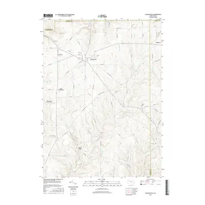
2016 Map of Pleasantville
USGS Topo · Published 2016About this map
Pithole City stands as a focal point in this portion of Venango County, a location defined by the legacy of the Pennsylvania oil boom. The landscape is carved by numerous waterways including Pithole Creek, Cherry Run, and Stewart Run, which dictate the winding paths of rural roads like Old Warren Pike Rd and Tight Pinch Rd. The borough of Pleasantville serves as the primary municipal center, where S Main St and Shamburg St converge near the Fairview Cem.
Find a feature on this map
82 named features on this map. Tap any name to fly to it.
Don’t see what you’re looking for? This feature index may not catch every label — zoom into the map to look around manually.
Map Details
Editions of this 2016 Pleasantville Map
This is the sole edition of this map. No revisions or reprints were ever made.
Other maps of this area

1922 · Oil City
USGS Topo · 1:48,000

1922 · Tionesta
USGS Topo · 1:62,500

1924 · Oil City
USGS Topo · 1:62,500

1924 · Tionesta
USGS Topo · 1:62,500

1927 · Tidioute
USGS Topo · 1:48,000

1927 · Titusville
USGS Topo · 1:62,500

1930 · Tidioute
USGS Topo · 1:62,500

1933 · Titusville
USGS Topo · 1:62,500

1943 · Oil City
USGS Topo · 1:62,500

1946 · Tionesta
USGS Topo · 1:62,500
Featured Places
- Pleasantville, PA
- President Township, PA
- Allegheny Township, PA
- Morrison Corners, Oil Creek Township
- East Shamburg, Oil Creek Township