Old Maps of Buffalo Township, Pennsylvania for Genealogy
Trace your family roots with 16 historic maps of Buffalo Township. These high-res maps reveal old neighborhoods, homesites, landmarks, and streets — helping you uncover where your ancestors lived and how the area evolved over time.
- Explore historic neighborhoods: Identify where your relatives may have lived in the 1800s or 1900s.
- Compare maps over time: Trace the changes in streets, buildings, and landmarks for multi-generational research.
- Perfect for genealogy & ancestry research: Used by family historians and researchers to map out lineage and migration.
These maps are an incredible resource for exploring your personal connection to Buffalo Township's past.
Buffalo Township, PA maps
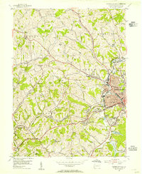
(16)- 1907 Map of Claysville
 1907 Claysville1907 Print · USGSCovers Buffalo Township, including Washington, South Strabane Township, and other nearby areas5 unique versions available
 - 1951 Map of Canton
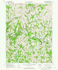
 1951 Canton1951 Print · USGSCovers Buffalo Township, including Pittsburgh, Akron, and other nearby areas
 - 1953 Map of Canton
 1953 Canton1953 Print · USGSCovers Buffalo Township, including Pittsburgh, Akron, and other nearby areas
 - 1954 Map of Washington West, 1955 Print
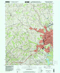
 1954 Washington West1955 Print · USGSCovers Buffalo Township, including Washington, South Strabane Township, and other nearby areas3 unique versions available
 - 1957 Map of Canton, 1971 Print
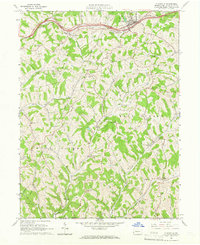
 1957 Canton1971 Print · USGSCovers Buffalo Township, including Pittsburgh, Akron, and other nearby areas3 unique versions available
 - 1962 Map of Canton
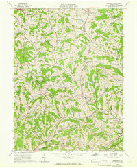
 1962 Canton1962 Print · USGSCovers Buffalo Township, including Pittsburgh, Akron, and other nearby areas2 unique versions available
 - 1964 Map of West Middletown, 1966 Print
 1964 West Middletown1966 Print · USGSCovers Buffalo Township, including Independence Township, West Middletown, and other nearby areas3 unique versions available
 - 1964 Map of Prosperity, 1966 Print
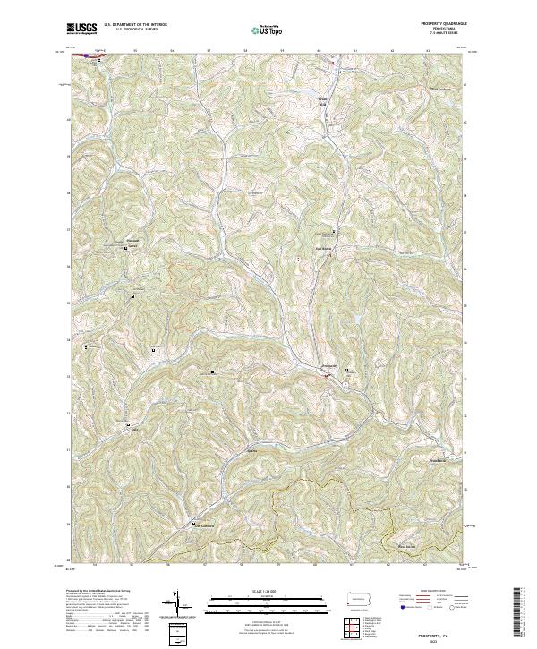
 1964 Prosperity1966 Print · USGSCovers Buffalo Township, including East Finley Township, Green Hills, and other nearby areas3 unique versions available
 - 1964 Map of Claysville, 1966 Print
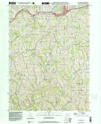
 1964 Claysville1966 Print · USGSCovers Buffalo Township, including East Finley Township, West Finley Township, and other nearby areas3 unique versions available
 - 1986 Map of Pittsburgh West
 1986 Pittsburgh West1986 Print · USGSCovers Buffalo Township, including Pittsburgh, Bethel Park, and other nearby areas3 unique versions available
 - 1993 Map of Washington West, 1999 Print
 1993 Washington West1999 Print · USGSCovers Buffalo Township, including Washington, South Strabane Township, and other nearby areas
 - 1998 Map of Claysville, 1999 Print
 1998 Claysville1999 Print · USGSCovers Buffalo Township, including East Finley Township, West Finley Township, and other nearby areas
 - 2023 Map of Washington West, 2023 Print
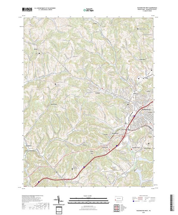 2023 Washington West2023 Print · USGSCovers Buffalo Township, including Washington, South Strabane Township, and other nearby areas
 - 2023 Map of Claysville, 2023 Print
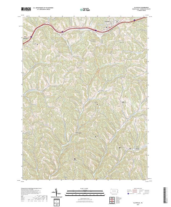 2023 Claysville2023 Print · USGSCovers Buffalo Township, including East Finley Township, West Finley Township, and other nearby areas
 - 2023 Map of Prosperity, 2023 Print
 2023 Prosperity2023 Print · USGSCovers Buffalo Township, including East Finley Township, Green Hills, and other nearby areas
 - 2023 Map of West Middletown, 2023 Print
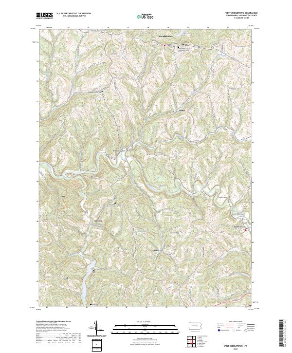 2023 West Middletown2023 Print · USGSCovers Buffalo Township, including Independence Township, West Middletown, and other nearby areas
End of results
Showing maps 1-16 of 16
Top cities near Buffalo Township
- Weirton historical maps
- Washington historical maps
- Cecil Township historical maps
- Canonsburg historical maps
- South Strabane Township historical maps
- Mount Pleasant historical maps
See more
Top neighborhoods of Buffalo Township
- Coffeys Crossing historical maps
- Rural Valley historical maps
- Finney historical maps
- Sugar Hill historical maps
- Taylorstown Station historical maps
Frequently asked questions
- What are the different types of historical maps available for Buffalo Township?
- What is the oldest map of Buffalo Township?
- Where can I purchase historical maps of Buffalo Township for my home or office?
- Where can I download high-res historical maps of Buffalo Township?
- Are there historical topographic maps available for Buffalo Township?
- Is there historical aerial imagery available for Buffalo Township?
- Where are historical maps of Buffalo Township sourced from?