2010s Maps of Westmoreland County, Pennsylvania
Explore 140 historic maps of Westmoreland County from the 2010s. These maps offer a rare glimpse into what life looked like during the 2010s — showing old roads, neighborhoods, homes, and landmarks that have changed or disappeared over time.
Whether you're researching your family's past, planning a metal detecting trip, or studying how Westmoreland County's landscape evolved across the 2010s, these high-resolution maps are a powerful tool for exploring the history of this region.
- Focus on a specific era: All maps on this page are from the 2010s, giving you a focused view of this time period.
- See what’s changed: Compare century-old streets, trails, and buildings to today's modern landscape using overlays and satellite layers.
- Research with precision: Use these maps for genealogy, historical research, land use analysis, or educational projects.
- View, download, or print: Maps are fully viewable online in high resolution, and can be downloaded or printed for your own records.
Start exploring Westmoreland County's history through authentic maps from the 2010s. This is your window into the past.
Westmoreland County, PA maps
(140)- 2010 Map of Ligonier, 2010 Print
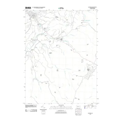 2010 Ligonier2010 Print · USGSThe Ligonier Valley comes into focus in this late-career survey, showing the mix of colonial history and ridge-top recreation. Researchers can locate Fort Ligonier, the industrial site of California Furnace, and several burial grounds like Cole Cemetery and Laughlinstown Cemetery.
 - 2010 Map of Rachelwood, 2010 Print
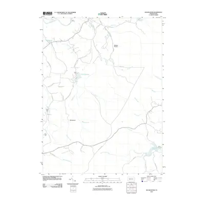 2010 Rachelwood2010 Print · USGSSomerset County's forested ridges and industrial remnants are captured here in the early twenty-first century. Genealogists and local historians can trace the paths around Rachelwood, locate the site of Baldwin Furnace, or find family landmarks like Legat Cemetery.
 - 2010 Map of Smithton, 2010 Print
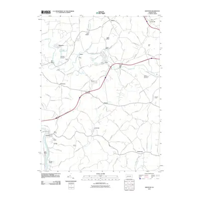 2010 Smithton2010 Print · USGSWestmoreland County near the turn of the twenty-first century shows a landscape where coal heritage and river life meet. Family historians can trace ancestral sites at Saint Timothys Cemetery or follow the legacy of local industry at the Hutchinson Mine Refuse Bank Dam.
 - 2010 Map of Connellsville, 2010 Print
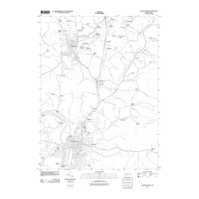 2010 Connellsville2010 Print · USGSWestern Pennsylvania’s river-bound industrial corridor is captured here at the start of the 2010s. Genealogists and local researchers can pinpoint family locations near Connellsville, Scottdale, and numerous parish sites like Saint Emorys Cemetery.
 - 2010 Map of Greensburg, 2010 Print
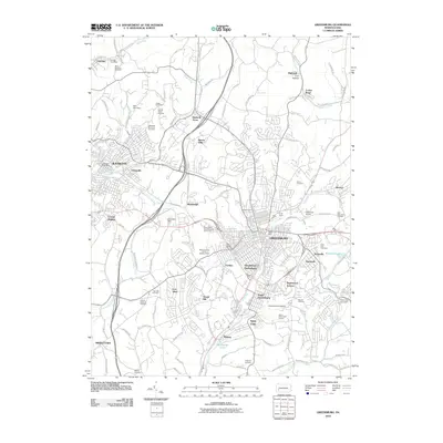 2010 Greensburg2010 Print · USGSGreensburg and the industrial corridor of Westmoreland County are shown here in the early twenty-first century. Researchers can locate significant sites like the University of Pittsburg, Saint Clair Cemetery, and Eidemiller Airport.
 - 2010 Map of Vandergrift, 2010 Print
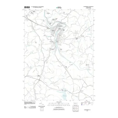 2010 Vandergrift2010 Print · USGSThe industrial river valley of the Kiskiminetas comes into focus during the first decade of the 2000s, showing the settled heights of Vandergrift and Apollo. Researchers can locate several burial sites like Laurel Point Cemetery and local landmarks including Kiski Airport.
 - 2010 Map of Donora, 2010 Print
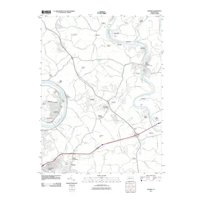 2010 Donora2010 Print · USGSThe Monongahela and Youghiogheny rivers define this industrial river valley at the start of the millennium. Researchers can trace family roots through numerous sites like West Newton Cemetery, the Rostraver Grange, and Pricedale.
 - 2010 Map of New Kensington East, 2010 Print
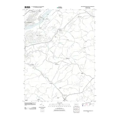 2010 New Kensington East2010 Print · USGSThe industrial Allegheny River valley and its developing suburbs are captured here during the first decade of the millennium. Researchers can locate family sites and local institutions ranging from Prospect Cemetery and Saint Marys Cemetery to the Alcoa Technical Center.
 - 2010 Map of Slickville, 2010 Print
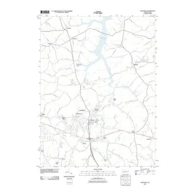 2010 Slickville2010 Print · USGSWestmoreland County at the turn of the millennium shows a landscape of small boroughs and expanding reservoirs. Researchers can locate family sites near Twin Valley Memorial Park Cemetery or trace the early paths of Trees Mills and Boquet.
 - 2010 Map of Wilpen, 2010 Print
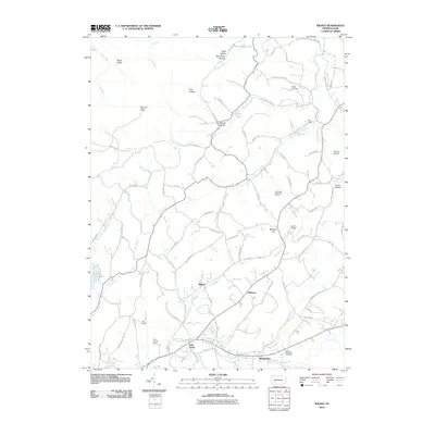 2010 Wilpen2010 Print · USGSThe Ligonier Valley and its surrounding ridges come into focus in the early twenty-first century, showing a landscape defined by small settlements and winding hollows. Genealogists and local historians can trace family roots through the Green Mountain Cemetery or explore the development around Wilpen, Oak Grove, and Waterford.
 - 2010 Map of Boswell, 2010 Print
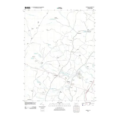 2010 Boswell2010 Print · USGSSomerset County's coal and creek-fed valleys are captured here in the early twenty-first century. Researchers can trace family history through sites like Old Calvary Cemetery and Saint Marys Cemetery, or locate old industrial markers at Coal Junction and Klines Mill.
 - 2010 Map of Monongahela, 2010 Print
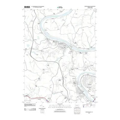 2010 Monongahela2010 Print · USGSThe Monongahela Valley comes into sharp focus during this era of late-century suburban and industrial density. Researchers can trace ancestral roots through several local burial grounds like Monongahela Cemetery or locate old industrial markers such as Coal Bluff and Redds Mill.
 - 2010 Map of Saltsburg, 2010 Print
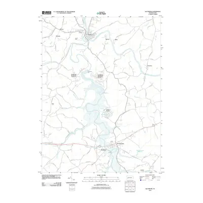 2010 Saltsburg2010 Print · USGSThe confluence of the Conemaugh and Kiskiminetas rivers defines this Indiana County landscape in the early 2000s. Genealogists and local historians can trace the community layouts of Saltsburg and New Alexandria or locate family plots at Union Cemetery and Craig Cemetery.
 - 2010 Map of Blairsville, 2010 Print
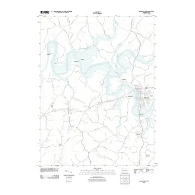 2010 Blairsville2010 Print · USGSIndiana County in the early twenty-first century reveals a landscape shaped by the Conemaugh River and its massive dam. Researchers can trace local heritage through Blairsville Cemetery and old river settlements like Livermore and Bairdstown.
 - 2010 Map of Latrobe, 2010 Print
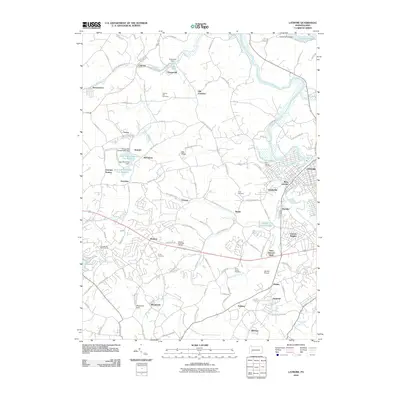 2010 Latrobe2010 Print · USGSLatrobe and its surrounding coal-patch towns are captured here at the start of the 2010s. Researchers can trace family history through several local landmarks like Saint Vincent Shaft, Shirey Cemetery, and the old settlement of Hostetter.
 - 2010 Map of Freeport, 2010 Print
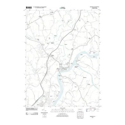 2010 Freeport2010 Print · USGSFreeport and the surrounding river valleys are shown in the 2010s at the meeting of the Allegheny and Kiskiminetas Rivers. Genealogists and local historians can trace family roots through landmarks like Brookland Cemetery, the old crossing at Garvers Ferry, and the settlement at Butler Junction.
 - 2010 Map of Bolivar, 2010 Print
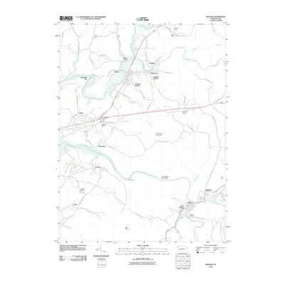 2010 Bolivar2010 Print · USGSIn the river valleys of Indiana and Westmoreland counties, this 2010 survey shows the intersection of industry and nature. Genealogists and historians can trace the developments of Bolivar, Josephine, and Strangford, or find family landmarks like Campbells Mill and Westview Cemetery.
 - 2010 Map of McKeesport, 2010 Print
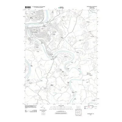 2010 McKeesport2010 Print · USGSThe riverfront communities of the Monongahela and Youghiogheny valleys are captured here in a period of modern suburban growth. Genealogists and local historians can trace family plots at McKeesport and Versailles Cemetery or locate old community hubs like Fite Station and the Boston Post Office.
 - 2010 Map of Seven Springs, 2010 Print
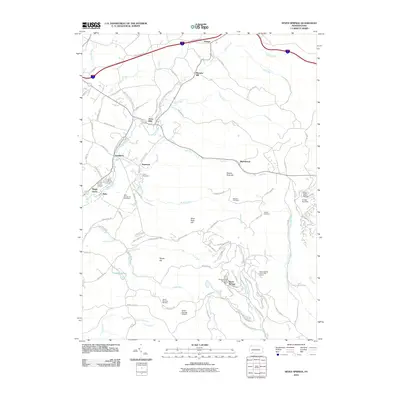 2010 Seven Springs2010 Print · USGSThe Laurel Highlands are captured here during a period of significant recreational growth centered on the mountain ridges. Researchers can trace the development of Seven Springs Mountain Resort and White Mountain Ski Area alongside older features like the Blair Brothers Railroad Grade and Nedrow Cemetery.
 - 2010 Map of Donegal, 2010 Print
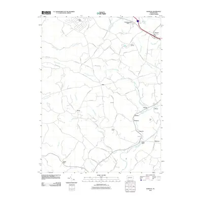 2010 Donegal2010 Print · USGSWestmoreland County’s rolling hills and creek valleys are captured in the late 2000s, showing a landscape defined by small hamlets and rural school roads. Genealogists and local historians can locate early burial grounds like Brown Cemetery and trace the paths of Indian Creek through Indian Head and Melcroft.
 - 2010 Map of Derry, 2010 Print
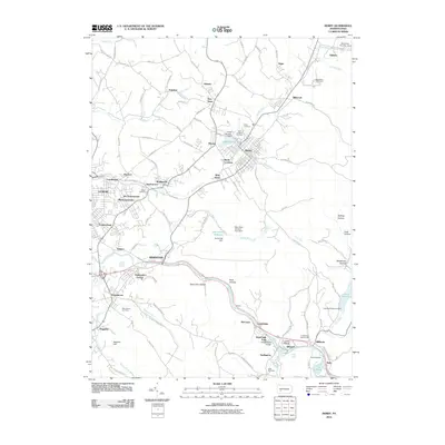 2010 Derry2010 Print · USGSThe Westmoreland County coal and rail corridor appears in detail during the early twenty-first century. Genealogists and local historians can trace the many smaller hamlets and burial sites from McChesneytown to Coles Cemetery and Buttermilk Falls.
 - 2010 Map of Avonmore, 2010 Print
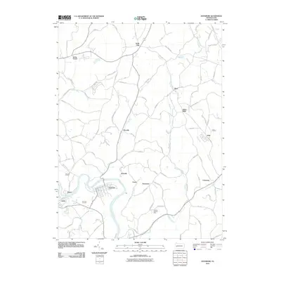 2010 Avonmore2010 Print · USGSAvonmore and the winding Kiskiminetas River valley are shown in detail as they appeared in 2010. Genealogists and local historians can trace family locations near Spring Church, Townsend Cemetery, and the long-established settlement at Elders Ridge.
 - 2010 Map of Irwin, 2010 Print
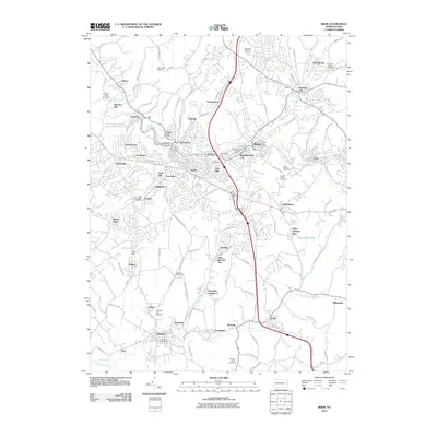 2010 Irwin2010 Print · USGSThe Westmoreland County suburbs and coal patches come into focus at the start of the 2010s. Researchers can locate family heritage at Old Mars Hill Cemetery or trace industrial roots through Edna Number One and the Coal Dam.
 - 2010 Map of Murrysville, 2010 Print
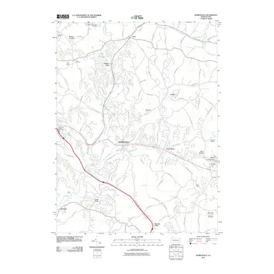 2010 Murrysville2010 Print · USGSMurrysville and the eastern suburbs of Pittsburgh appear here in the early twenty-first century as a blend of industrial heritage and suburban growth. Genealogists and local historians can trace family plots at Plum Creek Cemetery or locate the former Plum Creek Mine and Wyatt Airport.
 - 2010 Map of Stahlstown, 2010 Print
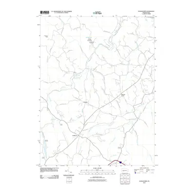 2010 Stahlstown2010 Print · USGSStahlstown and the surrounding Westmoreland County hills are captured here in the early 2000s as a landscape of rural hamlets and creek valleys. Researchers can trace ancestral sites and community landmarks like Snowball Cemetery, Camp Wesco, and the settlement of Mansville.
Showing maps 1-25 of 140
Top cities of Westmoreland County
- Greensburg historical maps
- New Kensington historical maps
- Lower Burrell historical maps
- Jeannette historical maps
- Latrobe historical maps
- Monessen historical maps
See more
Frequently asked questions
- What are the different types of historical maps available for Westmoreland County?
- What is the oldest map of Westmoreland County?
- Where can I purchase historical maps of Westmoreland County for my home or office?
- Where can I download high-res historical maps of Westmoreland County?
- Are there historical topographic maps available for Westmoreland County?
- Is there historical aerial imagery available for Westmoreland County?
- Where are historical maps of Westmoreland County sourced from?