2010s Maps of Falls Township, Pennsylvania
Explore 16 historic maps of Falls Township from the 2010s. These maps offer a rare glimpse into what life looked like during the 2010s — showing old roads, neighborhoods, homes, and landmarks that have changed or disappeared over time.
Whether you're researching your family's past, planning a metal detecting trip, or studying how Falls Township's landscape evolved across the 2010s, these high-resolution maps are a powerful tool for exploring the history of this region.
- Focus on a specific era: All maps on this page are from the 2010s, giving you a focused view of this time period.
- See what’s changed: Compare century-old streets, trails, and buildings to today's modern landscape using overlays and satellite layers.
- Research with precision: Use these maps for genealogy, historical research, land use analysis, or educational projects.
- View, download, or print: Maps are fully viewable online in high resolution, and can be downloaded or printed for your own records.
Start exploring Falls Township's history through authentic maps from the 2010s. This is your window into the past.
Falls Township, PA maps
(16)- 2010 Map of Ransom, 2010 Print
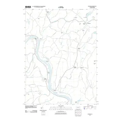 2010 Ransom2010 Print · USGSIn the river valleys of Wyoming County, Pennsylvania, the landscape of 2010 reveals a mix of historic riverfront hamlets and modern hilltop infrastructure. Genealogists and local historians can trace family locations near Wyoanna, Shaffers Corners, and Mountain View Cemetery.
 - 2010 Map of Factoryville, 2010 Print
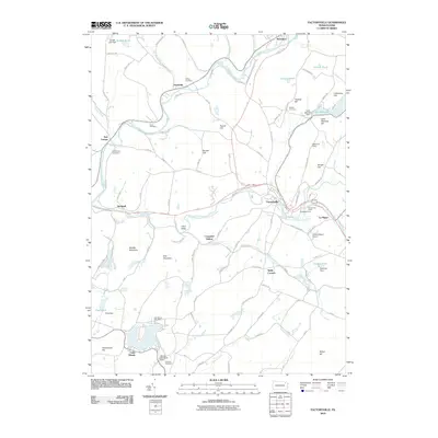 2010 Factoryville2010 Print · USGSFactoryville and the surrounding Wyoming County hills appear here in the early twenty-first century, showing a landscape shaped by creek valleys and mountain ridges. Researchers can locate family landmarks like Pedrick Cemetery, trace the RR 1 rail corridor, or explore the area around Keystone College and Lake Winola.
 - 2010 Map of Center Moreland, 2010 Print
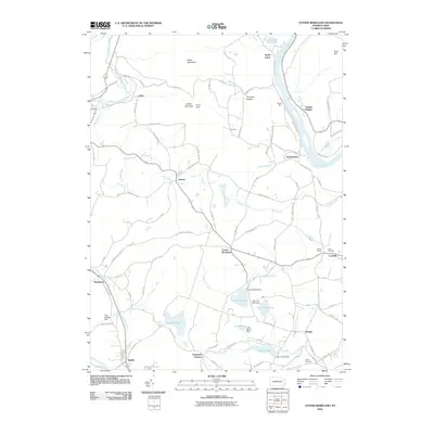 2010 Center Moreland2010 Print · USGSThe Susquehanna River valley and surrounding mountains of Wyoming and Luzerne counties are captured here at the start of the 2010s. Researchers can trace local lineage at Fitch Cemetery or locate old community hubs like Center Moreland, Demunds Corners, and Whites Ferry.
 - 2010 Map of Tunkhannock, 2010 Print
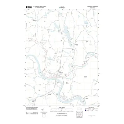 2010 Tunkhannock2010 Print · USGSThe riverfront borough of Tunkhannock and its surrounding Wyoming County townships are shown here in the early twenty-first century. Researchers can trace land patterns near Eatonville, find local burial sites like Sunnyside Cemetery, and locate the Skyhaven Airport.
 - 2013 Map of Ransom, 2013 Print
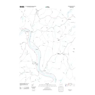 2013 Ransom2013 Print · USGSThe Susquehanna River valley and surrounding uplands are captured here in the early twenty-first century. Genealogists and local historians can trace the residential layouts of Ransom, Mill City, and the hills around Buttermilk Falls.
 - 2013 Map of Factoryville, 2013 Print
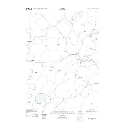 2013 Factoryville2013 Print · USGSThe northern Wyoming County landscape is captured here in the early twenty-first century, centered on the borough of Factoryville. Genealogists and local historians can trace family-named landmarks like Casterline Hill and Seamans Field Airport or locate residences near Lake Winola.
 - 2013 Map of Center Moreland, 2013 Print
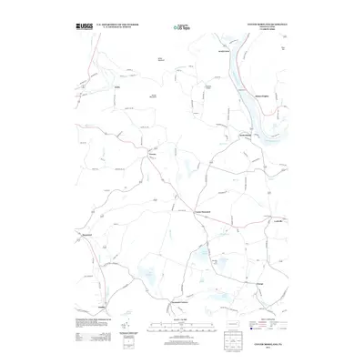 2013 Center Moreland2013 Print · USGSThe Susquehanna River valley and its surrounding ridges come into focus in this early 21st-century record of rural Pennsylvania. Researchers can trace family-named locations and settlements like Demunds Corners, Hoban Heights, and Keelersburg among the hills and lakes.
 - 2013 Map of Tunkhannock, 2013 Print
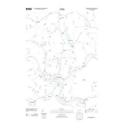 2013 Tunkhannock2013 Print · USGSTunkhannock and the winding Susquehanna River are captured here in the early twenty-first century. Researchers can trace local landmarks like Skyhaven Airport, established lakeside properties at Lake Carey, and the distinct topography of Benson Hollow and Osterhout Mountain.
 - 2016 Map of Center Moreland, 2016 Print
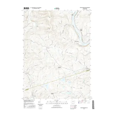 2016 Center Moreland2016 Print · USGSLuzerne and Wyoming counties meet in this 2010s survey of the rural highlands and river bottoms. Family researchers can locate Fitch Cem and Eaton Cem while tracing legacy roads near Center Moreland and Hoban Heights.
 - 2016 Map of Factoryville, 2016 Print
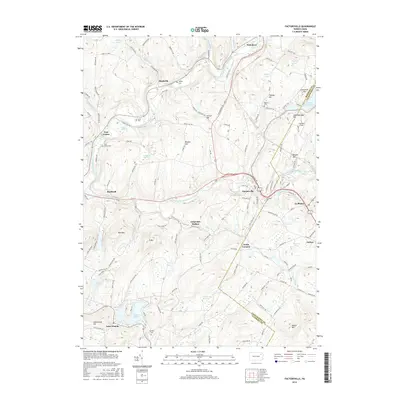 2016 Factoryville2016 Print · USGSThe valleys and peaks of the Wyoming and Lackawanna county border are captured here in the mid-2010s, centered on the historic borough of Factoryville. Researchers can trace the grounds of Keystone Coll or locate local burial sites like Oakley Cem and Fairview Cem.
 - 2016 Map of Tunkhannock, 2016 Print
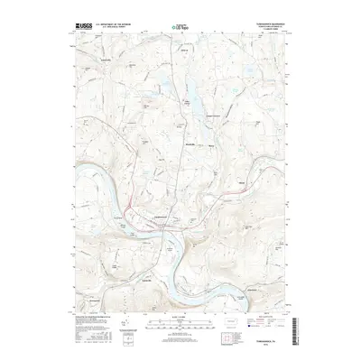 2016 Tunkhannock2016 Print · USGSThe Susquehanna River valley and Tunkhannock Creek confluence are documented here in the mid-2010s. Researchers can trace local lineage through Sunnyside Cem and Prevost Cem or locate old crossings at Eatonville and Dixon.
 - 2016 Map of Ransom, 2016 Print
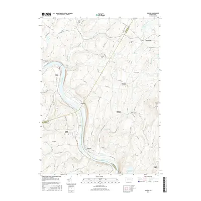 2016 Ransom2016 Print · USGSSpanning Wyoming, Lackawanna, and Luzerne counties in the 2010s, this survey traces the winding Susquehanna River corridor. Researchers can locate local landmarks like Mountain View Cem, the heights of Bald Mtn, and the rural settlement at Ransom.
 - 2019 Map of Ransom, 2019 Print
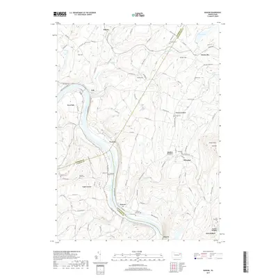 2019 Ransom2019 Print · USGSThe Susquehanna River valley near the border of Wyoming and Lackawanna counties remains a landscape of small settlements and family plots in the late 2010s. Researchers can locate numerous burial sites such as Montanye Family Cem and Beemer Cem or trace the winding course of Buttermilk Cr near Schultzville.
 - 2019 Map of Center Moreland, 2019 Print
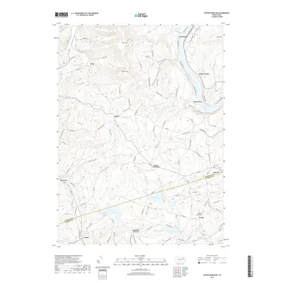 2019 Center Moreland2019 Print · USGSThe northern Wyoming and Luzerne county borders met at the Susquehanna River in 2019, amidst a landscape of prominent peaks and quiet creek valleys. Genealogists and local historians can trace family roots through the Orange Methodist Church Cem, Fitch Cem, and the old crossroads at Center Moreland.
 - 2019 Map of Tunkhannock, 2019 Print
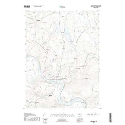 2019 Tunkhannock2019 Print · USGSThe river valley at Tunkhannock is captured here as it appeared in 2019, serving as the seat of Wyoming County. Researchers can locate the Wyoming County Courthouse, trace the shores of Lake Carey, and find family sites at Sunnyside Cem or the rural hamlet of Eatonville.
 - 2019 Map of Factoryville, 2019 Print
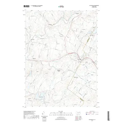 2019 Factoryville2019 Print · USGSThe hills surrounding Factoryville and Lake Winola are documented here in the late twenty-tens, showing the enduring rural character of the Lackawanna and Wyoming county line. Researchers can locate numerous family burial sites like Radle Family Cem and the campus of Keystone College.
End of results
Showing maps 1-16 of 16
Top cities near Falls Township
- Scranton historical maps
- Wilkes-Barre historical maps
- Dunmore historical maps
- Kingston historical maps
- Plains Township historical maps
- Dallas Township historical maps
See more
Top neighborhoods of Falls Township
Frequently asked questions
- What are the different types of historical maps available for Falls Township?
- What is the oldest map of Falls Township?
- Where can I purchase historical maps of Falls Township for my home or office?
- Where can I download high-res historical maps of Falls Township?
- Are there historical topographic maps available for Falls Township?
- Is there historical aerial imagery available for Falls Township?
- Where are historical maps of Falls Township sourced from?