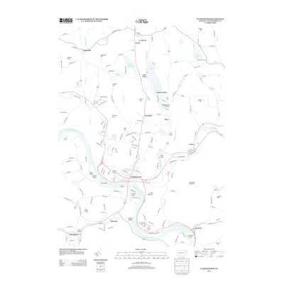
2013 Map of Tunkhannock
USGS Topo · Published 2013About this map
Tunkhannock serves as the focal point of this 2013 survey, where the Susquehanna River makes a sharp southward bend. The landscape is defined by the river's path and its named islands, including First Island, Second Island, and Third Island, as well as La Grange Island further downstream. The terrain rises sharply from the riverbanks toward high ground like Osterhout Mountain and Avery Mountain, creating the deep valleys of Benson Hollow and Sugar Hollow.
Find a feature on this map
175 named features on this map. Tap any name to fly to it.
Don’t see what you’re looking for? This feature index may not catch every label — zoom into the map to look around manually.
Map Details
Editions of this 2013 Tunkhannock Map
This is the sole edition of this map. No revisions or reprints were ever made.
Other maps of this area

1891 · Harveys Lake
USGS Topo · 1:62,500

1893 · Harvey Lake
USGS Topo · 1:62,500

1893 · Pittston
USGS Topo · 1:62,500

1943 · Scranton
USGS Topo · 1:125,000

1945 · Meshoppen
USGS Topo · 1:62,500

1945 · Auburn Center
USGS Topo · 1:24,000

1945 · Meshoppen
USGS Topo · 1:24,000

1946 · Tunkhannock
USGS Topo · 1:62,500

1946 · Noxen
USGS Topo · 1:24,000

1946 · Ransom
USGS Topo · 1:24,000
Featured Places
- Falls Township, PA
- Tunkhannock, PA
- Lemon Township, PA
- Marcy, Tunkhannock Township
- Aldovin, Lemon Township