Old Maps of Shiprock, Shiprock Agency for Academic Research
Study the evolution of Shiprock with 14 high-resolution historic maps. Whether you're teaching, researching, or modeling changes in land use, these maps provide essential visual documentation of urban, environmental, and geographic change.
- Analyze long-term change: Track patterns in development, transportation, and natural features.
- Ideal for environmental or urban studies: Support academic projects with primary historical map data.
- Use in the classroom or lab: Educators and researchers rely on these maps to bring historical context to life.
These maps are a powerful tool for teaching, research, and visualizing how Shiprock has changed over the decades.
Shiprock, Shiprock Agency maps
(14)- 1889 Map of Chaco
 1889 Chaco1889 Print · USGSNorthwestern New Mexico appears here in the late nineteenth century as a frontier of emerging river settlements and high-desert springs. Researchers can trace early footprints at Farmington and Aztec, or locate watering points like Sheep Spring and Seven Lakes.
 - 1892 Map of Chaco
 1892 Chaco1892 Print · USGSNorthwestern New Mexico in the late nineteenth century reveals the early river-side foundations of the Four Corners region. Genealogists and historians can trace the development of Farmington, Aztec, and Jewett along the San Juan River and the high desert outpost of Seven Lakes.5 unique versions available
 - 1934 Map of Chimney Rock, 1967 Print
 1934 Chimney Rock1967 Print · USGSThe Navajo and Southern Ute borders met along the San Juan River in the mid-1930s, creating a crossroads of tribal administration and desert agriculture. Genealogists and historians can locate the Shiprock Indian Agency, the Agency Coal Mine, and the path of the Old Mormon Trail.
 - 1936 Map of Chimney Rock
 1936 Chimney Rock1936 Print · USGSThe Navajo and Southern Ute borders met along the San Juan River in the mid-1930s, showing a landscape defined by both geologic wonders and early industry. Trace the path of the Old Mormon Trail or locate early coal operations at the Agency Coal Mine.2 unique versions available
 - 1954 Map of Shiprock
 1954 Shiprock1954 Print · USGSThe Four Corners region in the mid-fifties reveals a vast landscape of tribal lands and desert landmarks. Researchers can trace the mid-century footprints of the Navajo Indian Reservation, identifying remote Trading Posts, the early growth of Farmington, and the iconic spire of Ship Rock.5 unique versions available
 - 1958 Map of Shiprock
 1958 Shiprock1958 Print · USGSThe Four Corners region in the mid-fifties shows a vast network of remote outposts and river settlements. You can locate numerous historic sites like the Emmanuel Mission and several commercial hubs such as Burnham Trading Post and Bisti Trading Post.
 - 1959 Map of Shiprock
 1959 Shiprock1959 Print · USGSThe Four Corners region comes alive in the mid-fifties, showing the high desert outposts and river-valley towns of the Navajo Nation and San Juan County. Genealogists and researchers can locate remote landmarks like the Burnham Trading Post, Two Grey Hills, and the early Helium Plant.
 - 1980 Map of Farmington, 1981 Print
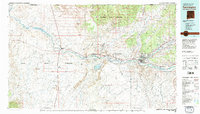 1980 Farmington1981 Print · USGSIn the San Juan Basin during the early 1980s, the energy economy was rapidly transforming the landscape around Farmington and Shiprock. Genealogists and historians can trace the growth of river towns like Kirtland or locate specific sites like the Navajo Mine and Aztec Ruins.2 unique versions available
 - 1983 Map of Shiprock, 1984 Print
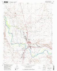 1983 Shiprock1984 Print · USGSThe Navajo Nation community of Shiprock comes into focus in the early eighties as a vital riverfront hub. Genealogists and researchers can trace local irrigation systems like Hogback Canal or locate community landmarks such as the Jr High Sch and Fairground.
 - 2010 Map of Shiprock, 2010 Print
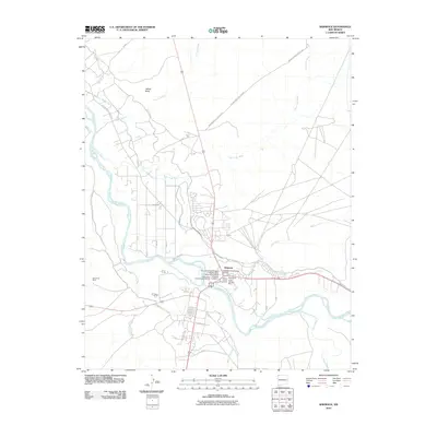 2010 Shiprock2010 Print · USGSShiprock at the turn of the decade is shown here as a confluence of the San Juan River and ancient heritage. Genealogists and historians can trace the community through the Shiprock Cemetery and the San Juan River Bridge Historic Site.
 - 2013 Map of Shiprock, 2013 Print
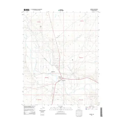 2013 Shiprock2013 Print · USGSShiprock and the San Juan River valley are captured in detail during the early twenty-first century. Researchers can trace local irrigation systems like Cudel Ditch and identify community landmarks such as the San Juan River Bridge Historic Site and Shiprock Cem.
 - 2017 Map of Shiprock, 2017 Print
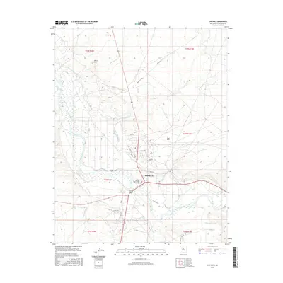 2017 Shiprock2017 Print · USGSThe Navajo Nation community of Shiprock is captured here during a period of steady growth along the San Juan River. Researchers can trace local landmarks like the San Juan River Bridge Historic Site or follow the vital irrigation paths of Cudei Ditch and Ditch Number Eight.
 - 2020 Map of Shiprock, 2020 Print
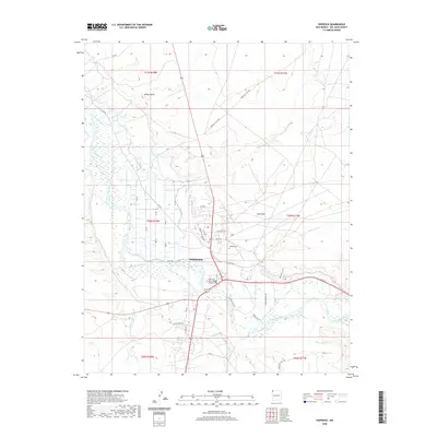 2020 Shiprock2020 Print · USGSShiprock and its surrounding high desert landscape are captured here in the early twenty-first century as the community continues its growth along the San Juan River. Researchers can trace local landmarks like the San Juan River Bridge Historic Site or the prominent Yellow Butte and Sand Hills.
 - 2023 Map of Shiprock, 2023 Print
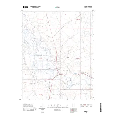 2023 Shiprock2023 Print · USGSThe Navajo Nation community of Shiprock is captured in the early 2020s, showing its vital connection to the San Juan River. Researchers can trace the modern street grid and vital irrigation works like the Hogback Canal and Ditch Number Eight.
End of results
Showing maps 1-14 of 14
Top cities near Shiprock
Frequently asked questions
- What are the different types of historical maps available for Shiprock?
- What is the oldest map of Shiprock?
- Where can I purchase historical maps of Shiprock for my home or office?
- Where can I download high-res historical maps of Shiprock?
- Are there historical topographic maps available for Shiprock?
- Is there historical aerial imagery available for Shiprock?
- Where are historical maps of Shiprock sourced from?