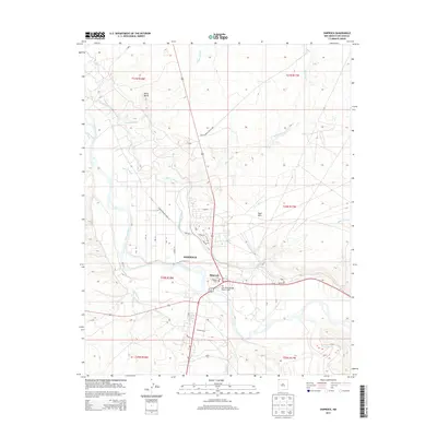
2013 Map of Shiprock
USGS Topo · Published 2013About this map
The San Juan River and its confluence with the Chaco River anchor this 2013 portrait of Shiprock, New Mexico. The landscape is defined by the intersection of traditional infrastructure and modern local development, evidenced by an extensive network of irrigation channels including Ditch Number Eight and Ditch Number Nine. These water systems cut across the high desert terrain, serving the community positioned north of the San Juan River Bridge Historic Site.
Find a feature on this map
30 named features on this map. Tap any name to fly to it.
Don’t see what you’re looking for? This feature index may not catch every label — zoom into the map to look around manually.
Map Details
Editions of this 2013 Shiprock Map
This is the sole edition of this map. No revisions or reprints were ever made.
Other maps of this area

1889 · Chaco
USGS Topo · 1:250,000

1892 · Chaco
USGS Topo · 1:250,000

1927 · Sulphur Spring
USGS Topo · 1:96,000

1928 · Kirtland
USGS Topo · 1:125,000

1932 · Kirtland
USGS Topo · 1:125,000

1934 · Ship Rock
USGS Topo · 1:62,500

1934 · Chimney Rock
USGS Topo · 1:62,500

1934 · Rattlesnake
USGS Topo · 1:62,500

1936 · Chimney Rock
USGS Topo · 1:62,500

1937 · Ship Rock
USGS Topo · 1:62,500