2020s Maps of Anderson, South Carolina
Explore 8 historic maps of Anderson from the 2020s. These maps offer a rare glimpse into what life looked like during the 2020s — showing old roads, neighborhoods, homes, and landmarks that have changed or disappeared over time.
Whether you're researching your family's past, planning a metal detecting trip, or studying how Anderson's landscape evolved across the 2020s, these high-resolution maps are a powerful tool for exploring the history of this region.
- Focus on a specific era: All maps on this page are from the 2020s, giving you a focused view of this time period.
- See what’s changed: Compare century-old streets, trails, and buildings to today's modern landscape using overlays and satellite layers.
- Research with precision: Use these maps for genealogy, historical research, land use analysis, or educational projects.
- View, download, or print: Maps are fully viewable online in high resolution, and can be downloaded or printed for your own records.
Start exploring Anderson's history through authentic maps from the 2020s. This is your window into the past.
Anderson, SC maps
(8)- 2020 Map of Belton West, 2020 Print
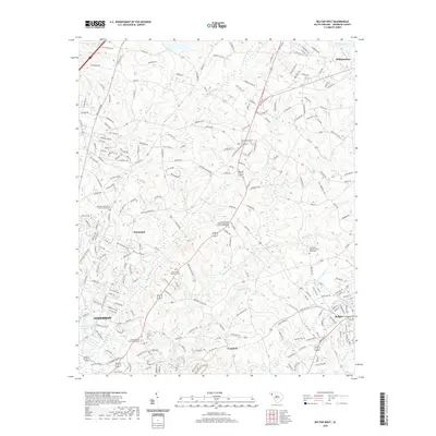 2020 Belton West2020 Print · USGSCovers Anderson, including Belton, Williamston, and other nearby areas
 - 2020 Map of Anderson South, 2020 Print
 2020 Anderson South2020 Print · USGSCovers Anderson, including Starr, Greenbriar, and other nearby areas
 - 2020 Map of Saylors Crossroads, 2020 Print
 2020 Saylors Crossroads2020 Print · USGSCovers Anderson, including Meadow Brook, Broadview Estates, and other nearby areas
 - 2020 Map of Anderson North, 2020 Print
 2020 Anderson North2020 Print · USGSCovers Anderson, including Anderson Village, New Prospect Estates, and other nearby areas
 - 2024 Map of Belton West, 2024 Print
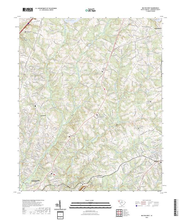 2024 Belton West2024 Print · USGSAnderson County in the twenty-first century reveals a landscape shaped by both its watercourses and its deep-rooted church communities. Researchers can trace local genealogy through several historic sites, including Midway Presbyterian Church Graveyard, Evergreen Baptist Cem, and the Nichols Copeland Family Cem.
 - 2024 Map of Anderson South, 2024 Print
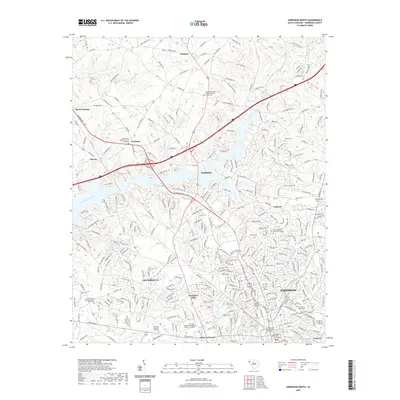
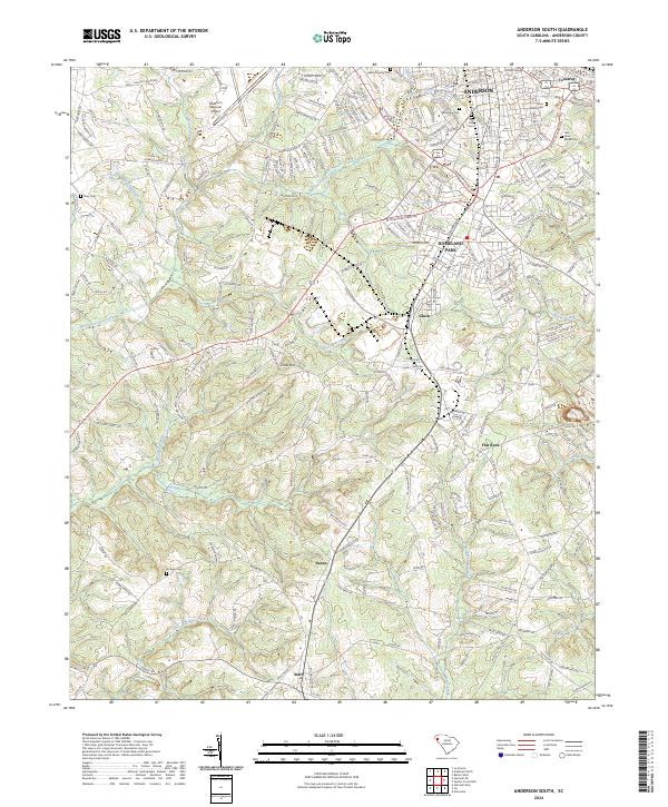 2024 Anderson South2024 Print · USGSThe southern outskirts of Anderson come into focus during this period of contemporary growth and rural preservation. Genealogists can trace family sites through numerous local burial grounds like Orr Mill Cem and Hodges Cem while following the CSX Transportation rail line through Deans and Starr.
 - 2024 Map of Saylors Crossroads, 2024 Print
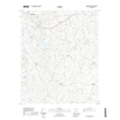
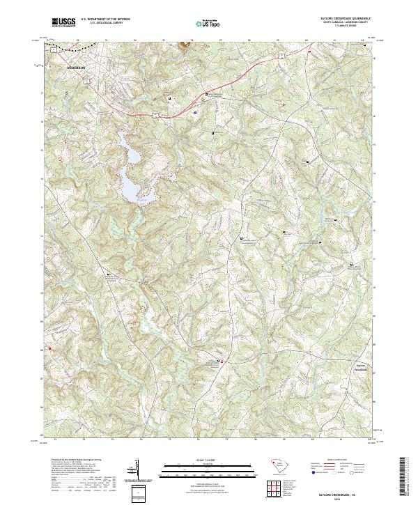 2024 Saylors Crossroads2024 Print · USGSAnderson County's rural character and long-standing church communities are preserved here in this recent survey. Researchers can trace family history through numerous burial sites including Neals Creek Baptist Church Graveyard and the Todd Family Cem near Broadway Lake.
 - 2024 Map of Anderson North, 2024 Print
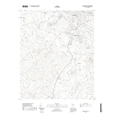
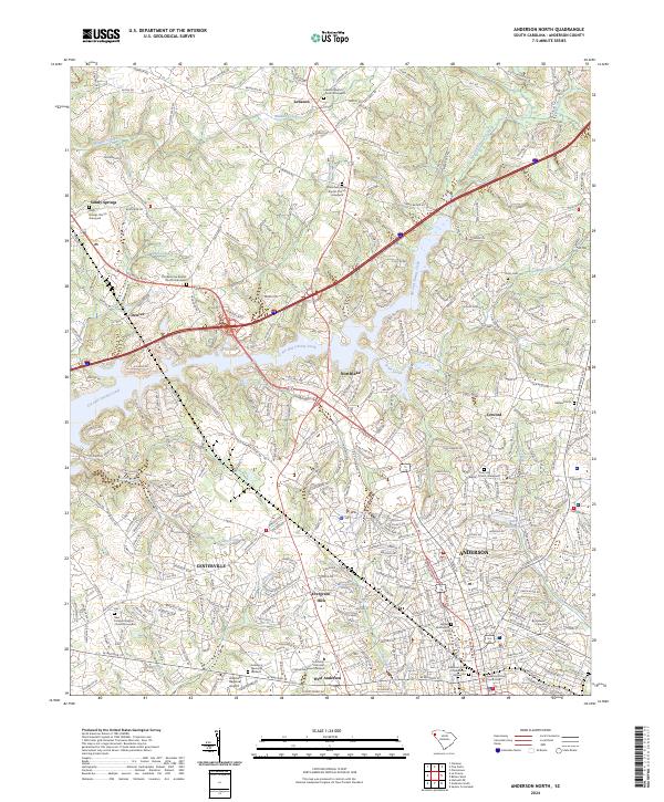 2024 Anderson North2024 Print · USGSThe city of Anderson and its northern suburbs are shown here in the 2020s, reflecting a landscape of modern university growth and deep-rooted rural communities. Researchers can trace family history through numerous church sites and burial grounds like Holly Springs Church Graveyard and Concord Baptist Church.
End of results
Showing maps 1-8 of 8
Top cities near Anderson
- Clemson historical maps
- Piedmont historical maps
- Central historical maps
- Belton historical maps
- Williamston historical maps
- Honea Path historical maps
See more
Top neighborhoods of Anderson
- Highland Acres historical maps
- Marilyn Acres historical maps
- Anderson Gardens historical maps
- Fairfield Acres historical maps
- Colony Hill historical maps
- Concord historical maps
See more
Frequently asked questions
- What are the different types of historical maps available for Anderson?
- What is the oldest map of Anderson?
- Where can I purchase historical maps of Anderson for my home or office?
- Where can I download high-res historical maps of Anderson?
- Are there historical topographic maps available for Anderson?
- Is there historical aerial imagery available for Anderson?
- Where are historical maps of Anderson sourced from?