Old Maps of Anderson, South Carolina for Genealogy
Trace your family roots with 33 historic maps of Anderson. These high-res maps reveal old neighborhoods, homesites, landmarks, and streets — helping you uncover where your ancestors lived and how the area evolved over time.
- Explore historic neighborhoods: Identify where your relatives may have lived in the 1800s or 1900s.
- Compare maps over time: Trace the changes in streets, buildings, and landmarks for multi-generational research.
- Perfect for genealogy & ancestry research: Used by family historians and researchers to map out lineage and migration.
These maps are an incredible resource for exploring your personal connection to Anderson's past.
Anderson, SC maps
(33)- 1888 Map of Pickens
 1888 Pickens1888 Print · USGSThe South Carolina Piedmont comes alive in the late nineteenth century, showing the rural communities of Pickens and Anderson. Genealogists can trace family landmarks like Sutton's Mill, Six Mile Church, and river crossings at Cherry's Ferry.
 - 1893 Map of Elberton
 1893 Elberton1893 Print · USGSThe Georgia-South Carolina borderlands come alive in the 1890s, centering on the river-and-rail economy of the Savannah Valley. Genealogists can trace family names and early community hubs through Browns Ferry, Coldwater Church, and Ruckersville.5 unique versions available
 - 1894 Map of Pickens
 1894 Pickens1894 Print · USGSNorthwest South Carolina in the late nineteenth century was a landscape of river-driven industry and emerging rail lines. Researchers can trace ancestral roots through family landmarks like Watson Mill, the community at Old Pickens, and the rural New Hope Church.6 unique versions available
 - 1954 Map of Greenville, 1965 Print
 1954 Greenville1965 Print · USGSThe Upstate and Northeast Georgia are captured here during a decade of massive transformation as new reservoirs reshaped the Piedmont. Genealogists and hikers can trace the Appalachian Trail over Brasstown Bald or locate old community centers like Demorest, Westminster, and Royston.3 unique versions available
 - 1957 Map of Anderson, 1958 Print
 1957 Anderson1958 Print · USGSUpstate South Carolina during the late fifties centers on the growth of Anderson and its surrounding textile and agricultural communities. Genealogists and local historians can trace family roots through numerous rural landmarks like McElmoyle Sch, Willis Chapel, and Sandy Springs.2 unique versions available
 - 1958 Map of Greenville
 1958 Greenville1958 Print · USGSThe Piedmont and Blue Ridge foothills come alive in this mid-century survey of the Upstate and Northeast Georgia. Trace the regional rail-and-river economy through the Southern Railway corridors and early reservoir developments like Lake Sidney Lanier.
 - 1964 Map of Saylors Crossroads, 1965 Print
 1964 Saylors Crossroads1965 Print · USGSAnderson County's rural heartland is captured here in the mid-sixties, showing a landscape shaped by the Rocky River and the waters of Broadway Lake. Genealogists and local historians can trace the foundations of Saylors Crossroads or locate rural landmarks like New Mount Pleasant Ch and McFall Cem.2 unique versions available
 - 1964 Map of Anderson South, 1965 Print
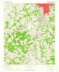 1964 Anderson South1965 Print · USGSThe southern fringes of ANDERSON and the surrounding Piedmont countryside are captured in the early sixties as suburban growth met traditional rural life. Researchers can trace family sites near Silverbrook Cemetery or follow the rails to historic stops like Deans and Starr.3 unique versions available
 - 1979 Map of Abbeville, 1980 Print
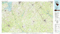 1979 Abbeville1980 Print · USGSThe South Carolina and Georgia borderlands are captured here during a period of significant hydroelectric development and regional growth. Researchers can trace the rail-and-river economy through the Seaboard Coast Line and landmarks like Hartwell Dam or the Silk Mills.2 unique versions available
 - 1983 Map of Belton West
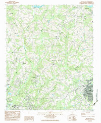 1983 Belton West1983 Print · USGSThe rail junctions and river valleys of Anderson County are captured here in the early 1980s as the suburbs of ANDERSON expanded toward Belton. Researchers can locate family landmarks like Forest Lawn Memorial Cemetery, the Drive-In Theatre, and numerous rural houses of worship including Hopewell Ch.2 unique versions available
 - 1983 Map of Anderson North
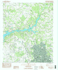 1983 Anderson North1983 Print · USGSAnderson's northern expansion and the winding reaches of the Savannah River basin are captured here in the early eighties. Researchers can trace local genealogy and landmarks through Mountain Springs Ch, Oaklawn Cem, and the grounds of Anderson College.2 unique versions available
 - 1984 Map of Greenville
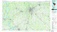 1984 Greenville1984 Print · USGSThe South Carolina Upstate undergoes rapid suburban growth in the mid-eighties as modern interstates begin to reshape the landscape. Researchers can trace historic rail lines like the Greenville and Northern Railway and locate local landmarks such as Clemson University and Paris Mountain State Park.
 - 1991 Map of Greenville
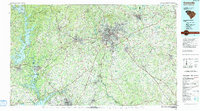 1991 Greenville1991 Print · USGSThe South Carolina Upstate was a landscape of rapid growth and engineering in the early nineties. Researchers can trace the expansion of Greenville and Spartanburg, find Clemson University, or study the massive reservoirs of Hartwell Lake and Lake Keowee.
 - 2011 Map of Anderson North, 2011 Print
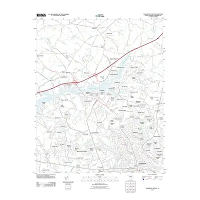 2011 Anderson North2011 Print · USGSThe northern suburbs of Anderson are shown in detail during a period of significant residential growth and lakeside development. Genealogists can locate several family and community burial grounds, including Welcome Cemetery, Trinity Cemetery, and New Prospect Cemetery.
 - 2011 Map of Anderson South, 2011 Print
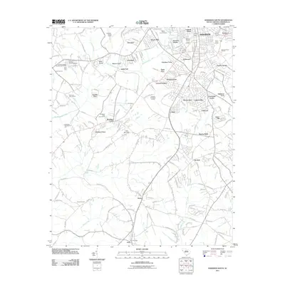 2011 Anderson South2011 Print · USGSThe southern reaches of Anderson and the surrounding Piedmont are captured here in the early twenty-first century. Genealogists and local historians can locate many regional landmarks, including Silver Brook Cemetery, the Starr Post Office, and the historic community of Gluck.
 - 2011 Map of Saylors Crossroads, 2011 Print
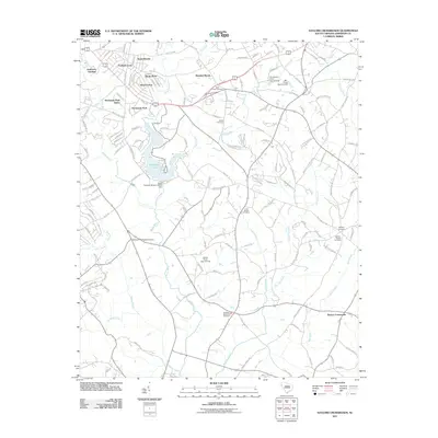 2011 Saylors Crossroads2011 Print · USGSAnderson County's residential and rural landscape is captured here in the early twenty-first century, centered on the waters of Broadway Lake. Researchers can locate several historic family and church grounds, from Saylors Crossroads to the McFall Cemetery and Ebenezer Methodist Cemetery.
 - 2011 Map of Belton West, 2011 Print
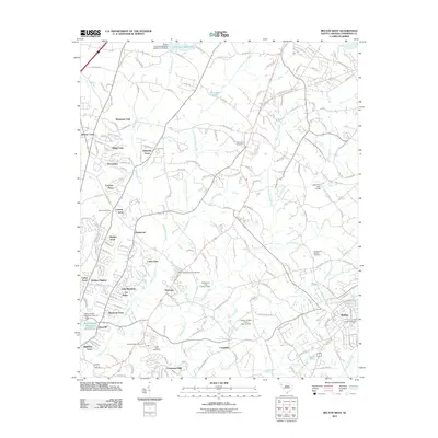 2011 Belton West2011 Print · USGSThe western outskirts of Belton are seen here in the early twenty-first century as suburban growth reaches toward the Rocky River. Genealogists and historians can locate several historic burial sites, including Whitefield Cemetery and Eureka Baptist Cemetery, alongside the East Park Speedway.
 - 2014 Map of Saylors Crossroads, 2014 Print
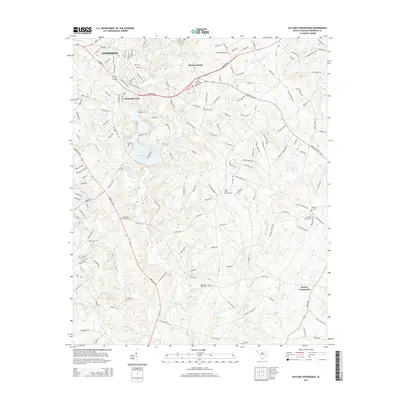 2014 Saylors Crossroads2014 Print · USGSThis South Carolina survey explores the landscape east of Anderson in the early twenty-first century as suburban growth reached toward the Rocky River. Researchers can locate numerous family and community landmarks, from Broadway Lake to the Bethany Baptist Cem and Saylors Crossroads.
 - 2014 Map of Anderson South, 2014 Print
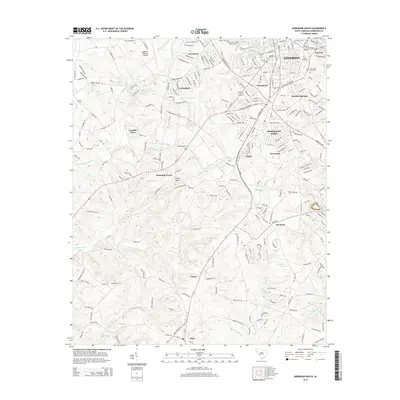 2014 Anderson South2014 Print · USGSAnderson County during the early 2010s shows a mix of suburban expansion and deep-rooted rural history south of the city. Genealogists and local historians can trace family locations through numerous sites like Silver Brook Cem, Gray Cem, and the old settlement of Starr.
 - 2014 Map of Anderson North, 2014 Print
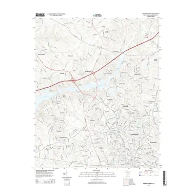 2014 Anderson North2014 Print · USGSThe northern suburbs of Anderson and the intricate shoreline of Hartwell Lake are captured here in the early twenty-first century. Researchers can trace family history through sites like Anderson Univ, Oaklawn Cem, and the old crossroads at Sandy Springs.
 - 2014 Map of Belton West, 2014 Print
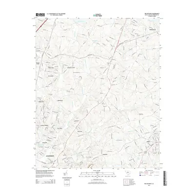 2014 Belton West2014 Print · USGSAnderson County's transition from rural farmland to suburban communities is captured here in the decade before the mid-2010s. Researchers can trace family sites and local history at the Union Grove Cem, Whitefield Church, or along the banks of the Rocky River.
 - 2017 Map of Belton West, 2017 Print
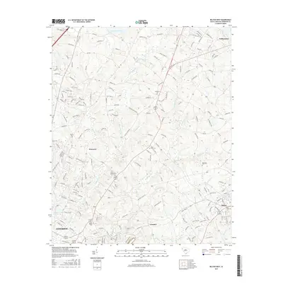 2017 Belton West2017 Print · USGSThe Piedmont landscape between ANDERSON and Belton is captured here during a period of steady growth and community preservation. Genealogists and local historians can trace family locations through numerous sites like Whitefield Cem, Morrisons Lake, and Hammond.
 - 2017 Map of Anderson South, 2017 Print
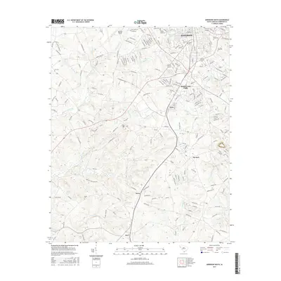 2017 Anderson South2017 Print · USGSThe outskirts of southern Anderson in the mid-2010s reveal a landscape where suburban growth meets deep-rooted rural history. Genealogists and local historians can trace several burial sites including Silver Brook Cem and the Byrum-LeBoon Family Cem near Gluck and Starr.
 - 2017 Map of Saylors Crossroads, 2017 Print
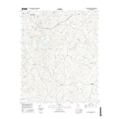 2017 Saylors Crossroads2017 Print · USGSSouth Carolina's Piedmont region near the Georgia border is shown here during a period of steady residential growth south of the city. Genealogists can locate several historic burial sites, including Neals Creek Cem, McFall Cem, and the grounds at Saylors Crossroads.
 - 2017 Map of Anderson North, 2017 Print
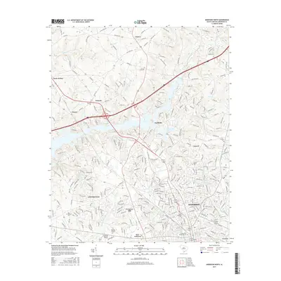 2017 Anderson North2017 Print · USGSAnderson and its northern suburbs are shown in detail during a period of modern growth in the late 2010s. Genealogists and local historians can trace family ties through Concord Baptist Cem, Mountain Springs Cem, and landmarks like Anderson Memorial Gardens.
Showing maps 1-25 of 33
Top cities near Anderson
- Clemson historical maps
- Piedmont historical maps
- Central historical maps
- Belton historical maps
- Williamston historical maps
- Honea Path historical maps
See more
Top neighborhoods of Anderson
- Highland Acres historical maps
- Marilyn Acres historical maps
- Anderson Gardens historical maps
- Fairfield Acres historical maps
- Colony Hill historical maps
- Concord historical maps
See more
Frequently asked questions
- What are the different types of historical maps available for Anderson?
- What is the oldest map of Anderson?
- Where can I purchase historical maps of Anderson for my home or office?
- Where can I download high-res historical maps of Anderson?
- Are there historical topographic maps available for Anderson?
- Is there historical aerial imagery available for Anderson?
- Where are historical maps of Anderson sourced from?