Old Maps of Honea Path, South Carolina for Academic Research
Study the evolution of Honea Path with 16 high-resolution historic maps. Whether you're teaching, researching, or modeling changes in land use, these maps provide essential visual documentation of urban, environmental, and geographic change.
- Analyze long-term change: Track patterns in development, transportation, and natural features.
- Ideal for environmental or urban studies: Support academic projects with primary historical map data.
- Use in the classroom or lab: Educators and researchers rely on these maps to bring historical context to life.
These maps are a powerful tool for teaching, research, and visualizing how Honea Path has changed over the decades.
Honea Path, SC maps
(16)- 1892 Map of Abbeville
 1892 Abbeville1892 Print · USGSSouth Carolina’s Upstate during the late 1800s reveals a landscape defined by critical river crossings and the arrival of the steam era. Genealogists can trace family roots through localized sites like Smith Ferry, Maddox Mill, and the bustling rail hub of Greenwood.6 unique versions available
 - 1954 Map of Greenville, 1965 Print
 1954 Greenville1965 Print · USGSThe Upstate and Northeast Georgia are captured here during a decade of massive transformation as new reservoirs reshaped the Piedmont. Genealogists and hikers can trace the Appalachian Trail over Brasstown Bald or locate old community centers like Demorest, Westminster, and Royston.3 unique versions available
 - 1958 Map of Greenville
 1958 Greenville1958 Print · USGSThe Piedmont and Blue Ridge foothills come alive in this mid-century survey of the Upstate and Northeast Georgia. Trace the regional rail-and-river economy through the Southern Railway corridors and early reservoir developments like Lake Sidney Lanier.
 - 1970 Map of Honea Path, 1975 Print
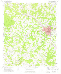 1970 Honea Path1975 Print · USGSHonea Path is shown at a period of transition in the early seventies, where rail lines and rural tradition meet. Genealogists can locate family landmarks like Garden of Memories, Jones Chapel, and the settlement of Craytonville.
 - 1971 Map of Ware Shoals West, 1975 Print
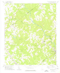 1971 Ware Shoals West1975 Print · USGSThe Saluda River valley in the early seventies shows a landscape defined by crossing county lines and rail connections. Researchers can trace family roots through the Turkey Creek Cem, visit the settlement of Blue Heaven, or locate the old Drive-in Theater.
 - 1979 Map of Abbeville, 1980 Print
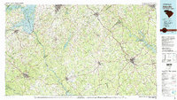 1979 Abbeville1980 Print · USGSThe South Carolina and Georgia borderlands are captured here during a period of significant hydroelectric development and regional growth. Researchers can trace the rail-and-river economy through the Seaboard Coast Line and landmarks like Hartwell Dam or the Silk Mills.2 unique versions available
 - 2011 Map of Ware Shoals West, 2011 Print
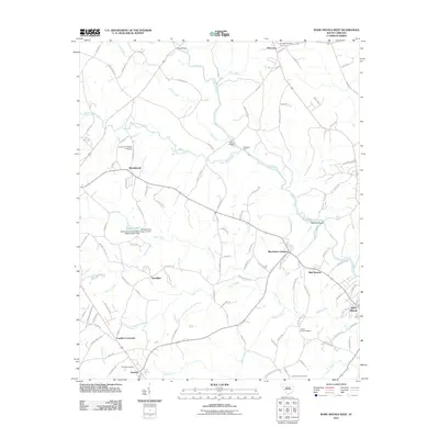 2011 Ware Shoals West2011 Print · USGSThe Piedmont country of Anderson County and its surroundings are captured here in the early 2000s as a landscape of river-bend settlements and rural crossroads. Genealogists can trace family sites near Broadmouth Baptist Cemetery, Donalds, and Foxville Crossroads.
 - 2011 Map of Honea Path, 2011 Print
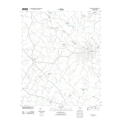 2011 Honea Path2011 Print · USGSHonea Path and its surrounding farmstead communities are detailed here during the early twenty-first century. Genealogists and local historians can trace family locations through numerous sites like the Honea Path Cemetery, Kay Cemetery, and the settlement at Craytonville.
 - 2014 Map of Ware Shoals West, 2014 Print
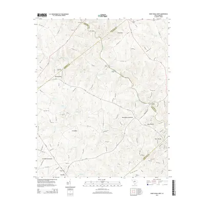 2014 Ware Shoals West2014 Print · USGSThe South Carolina Piedmont and the winding Saluda River are captured here in the mid-2010s, showing the intersection of five different counties. Researchers can trace historic river crossings like Rutledge Ford and locate ancestral burial sites at Broadmouth Baptist Cem or Donalds Cem.
 - 2014 Map of Honea Path, 2014 Print
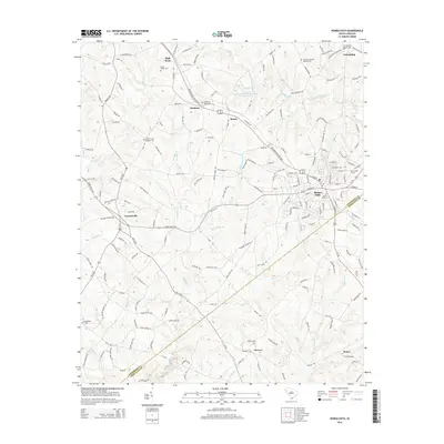 2014 Honea Path2014 Print · USGSHonea Path and its surrounding rural hamlets are documented here in the early twenty-first century, spanning the border of Anderson and Abbeville counties. Genealogists can trace family landmarks and burial sites like the Honea Path Cem, Mt Bethel Cem, and the community of Craytonville.
 - 2017 Map of Honea Path, 2017 Print
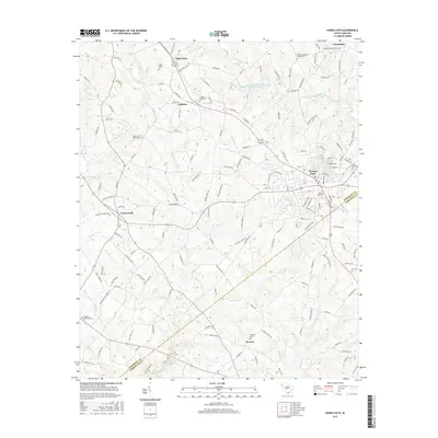 2017 Honea Path2017 Print · USGSThe Upstate South Carolina countryside near the Anderson and Abbeville border is shown here in the late twenty-teens. Genealogists can trace family sites at the Greer Family Cem, Cedar Grove Baptist Cem, and the old crossroads of Craytonville.
 - 2017 Map of Ware Shoals West, 2017 Print
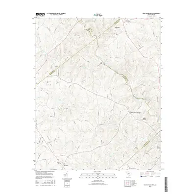 2017 Ware Shoals West2017 Print · USGSThis South Carolina Piedmont landscape is captured at the intersection of five counties in 2017. Researchers can locate many family-named landmarks and rural burial grounds, such as Broadmouth Baptist Cem, Kay Bridge, and the community of Princeton.
 - 2020 Map of Ware Shoals West, 2020 Print
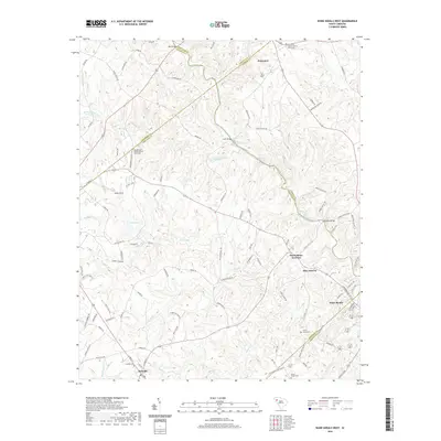 2020 Ware Shoals West2020 Print · USGSThe Saluda River valley is captured here in the 2020s, showing a landscape defined by many county boundaries and river shoals. Genealogists can trace family landmarks and cemeteries near Princeton Baptist Church, Donalds, and the quiet community of Blue Heaven.
 - 2020 Map of Honea Path, 2020 Print
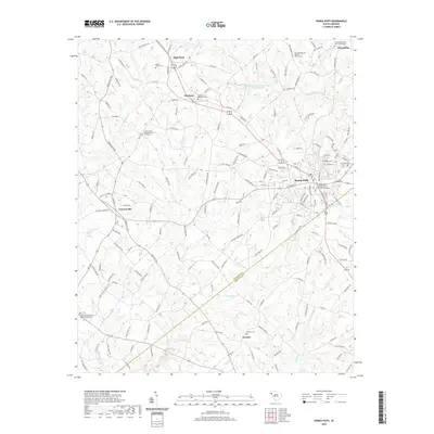 2020 Honea Path2020 Print · USGSHonea Path and its surrounding rural communities are captured in modern detail just before the turn of the decade. Researchers can locate numerous family and church burial grounds, including the Greer Family Cem, Keowee Cem, and Friendship.
 - 2024 Map of Ware Shoals West, 2024 Print
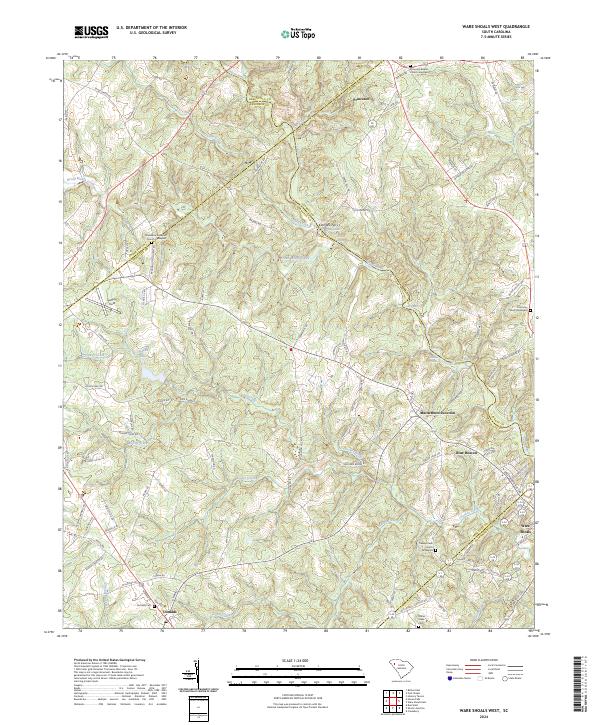 2024 Ware Shoals West2024 Print · USGSIn the Upstate of South Carolina, this area shows the historic borderlands where the Saluda River separates five different counties. Genealogists can trace family lines through several rural burial grounds, including Turkey Creek Church Graveyard and Donalds Cem.
 - 2024 Map of Honea Path, 2024 Print
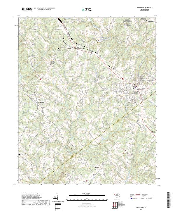 2024 Honea Path2024 Print · USGSHonea Path and its surrounding rural townships are shown here at the Anderson and Abbeville county line in the modern era. Genealogists and local historians can trace legacy burial sites and family landmarks like the Maddox Family Cem, Craytonville, and the Keowee Church Graveyard.
End of results
Showing maps 1-16 of 16
Top cities near Honea Path
- Anderson historical maps
- Greenwood historical maps
- Fountain Inn historical maps
- Piedmont historical maps
- Belton historical maps
- Williamston historical maps
See more
Top neighborhoods of Honea Path
Frequently asked questions
- What are the different types of historical maps available for Honea Path?
- What is the oldest map of Honea Path?
- Where can I purchase historical maps of Honea Path for my home or office?
- Where can I download high-res historical maps of Honea Path?
- Are there historical topographic maps available for Honea Path?
- Is there historical aerial imagery available for Honea Path?
- Where are historical maps of Honea Path sourced from?