Old Maps of Embree, South Carolina for Genealogy
Trace your family roots with 17 historic maps of Embree. These high-res maps reveal old neighborhoods, homesites, landmarks, and streets — helping you uncover where your ancestors lived and how the area evolved over time.
- Explore historic neighborhoods: Identify where your relatives may have lived in the 1800s or 1900s.
- Compare maps over time: Trace the changes in streets, buildings, and landmarks for multi-generational research.
- Perfect for genealogy & ancestry research: Used by family historians and researchers to map out lineage and migration.
These maps are an incredible resource for exploring your personal connection to Embree's past.
Embree, SC maps
(17)- 1920 Map of Orangeburg
 1920 Orangeburg1920 Print · USGSOrangeburg and the Edisto River valley are captured here at the start of the 1920s, revealing a landscape of small agricultural communities and railroad sidings. Genealogists can locate family landmarks like Bryants Academy, Snake Swamp School, and Cattle Creek Church.
 - 1921 Map of Orangeburg, 1919 Print
 1921 Orangeburg1919 Print · USGSOrangeburg and the Edisto River basin are captured here just after the Great War, during a period of established rail commerce and rural education. Genealogists can trace dozens of schools and churches like Bryants Academy, Sardis School, and Bethel Church.3 unique versions available
 - 1943 Map of Orangeburg
 1943 Orangeburg1943 Print · USGSCoastal plain settlements and river forks define the South Carolina lowcountry during the early war years. Genealogists can trace family landmarks like Bochette Cem, Hunters Chapel Zion Ch, and unique sites like the Indian Field Camp Grounds.
 - 1943 Map of Orangeburg
 1943 Orangeburg1943 Print · USGSThe Orangeburg area in the early 1940s was a critical hub where the Southern and Atlantic Coast Line railroads intersected the Edisto forks. Genealogists can locate numerous rural landmarks like Bryants Academy, Mt Pisgah Ch, and the County Farm.
 - 1954 Map of Augusta
 1954 Augusta1954 Print · USGSThe Savannah River valley and South Carolina Midlands are captured here during a period of post-war growth. Researchers can trace the rail-and-river economy through the Southern RR corridor and locate historic settlements like Aiken, Orangeburg, and Sumter.
 - 1957 Map of Augusta, 1966 Print
 1957 Augusta1966 Print · USGSThe Savannah River and Santee basins are captured here during a period of massive military and industrial expansion in the late fifties. Genealogists can trace family footprints across Four Hole Swamp or near the Savannah River Plant.3 unique versions available
 - 1958 Map of Augusta
 1958 Augusta1958 Print · USGSThe borderlands between Georgia and South Carolina come alive in the 1950s, showing the early footprint of the Savannah River Plant. Genealogists and historians can trace rail-dependent towns and rural landmarks from Orangeburg to the Fort Jackson Military Reservation.
 - 1961 Map of Augusta
 1961 Augusta1961 Print · USGSThe South Carolina lowcountry and CSRA appear here in the early sixties, during a period of massive military and industrial growth. Researchers can trace the development of the Savannah River Plant or locate legacy landmarks like Nelson Ferry and Magnolia Cemetery.2 unique versions available
 - 1962 Map of Augusta
 1962 Augusta1962 Print · USGSThe South Carolina and Georgia borderlands are seen here in the early sixties, showing the rise of the Savannah River Plant and the expansion of Fort Jackson. Researchers can trace old rail lines like the Southern Railway and find landmarks such as St. Pauls Church or the Santee Canal.
 - 1979 Map of Midway, 1980 Print
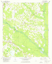 1979 Midway1980 Print · USGSThe river-laced borderlands of Orangeburg and Bamberg counties are captured here in the late seventies. Family historians can trace rural roots through landmarks like Cana of Galilee Ch, the Southern rail stop at Midway, and the Isaac Jennings Canal.2 unique versions available
 - 1985 Map of Saint George, 1986 Print
 1985 Saint George1986 Print · USGSThe South Carolina Lowcountry in the mid-eighties shows a landscape defined by the great reservoirs and the meandering Edisto River. Researchers can trace the rail corridors of the Southern Railway and find rural settlements like Harleyville, Smoaks, and Grover.
 - 1990 Map of Saint George
 1990 Saint George1990 Print · USGSThe South Carolina Lowcountry in the early nineties reveals a complex network of river systems and massive reservoirs. Genealogists and local historians can trace the development of inland settlements like St George and Branchville or explore the wetlands of Four Hole Swamp.
 - 2011 Map of Midway, 2011 Print
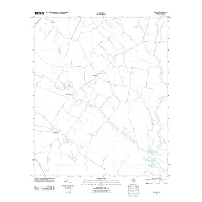 2011 Midway2011 Print · USGSSoutheastern Bamberg County is defined by its winding waterways and historic river crossings at the start of the twenty-first century. Researchers can locate family burial grounds like Canaan Cemetery and trace the paths of the South Fork Edisto River and the Isaac Jennings Canal.
 - 2014 Map of Midway, 2014 Print
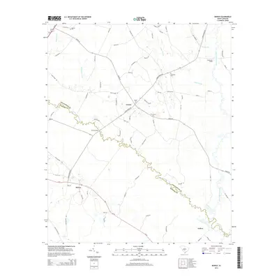 2014 Midway2014 Print · USGSThe river-laced lowlands of Orangeburg and Bamberg counties are captured here in the early twenty-first century as the South Fork Edisto River winds toward its confluence. Genealogists can locate several rural burial grounds including Oakland Cem and Bethlehem Cem near the settlements of Canaan and Midway.
 - 2017 Map of Midway, 2017 Print
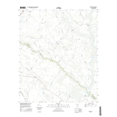 2017 Midway2017 Print · USGSBamberg and Orangeburg counties are mapped here in the late twenty-teens, where the river forks converge amidst a network of swamps. Genealogists can locate family burial sites at Bethlehem Cem and Canaan Cem or trace rural settlements like Embree and Midway.
 - 2020 Map of Midway, 2020 Print
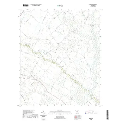 2020 Midway2020 Print · USGSThe Edisto River forks define this South Carolina landscape, where the settlements of Midway and Canaan sit among vast wetlands. Trace family history at Oakland or Bethlehem cemeteries and locate old crossings at Cannon Bridge.
 - 2024 Map of Midway, 2024 Print
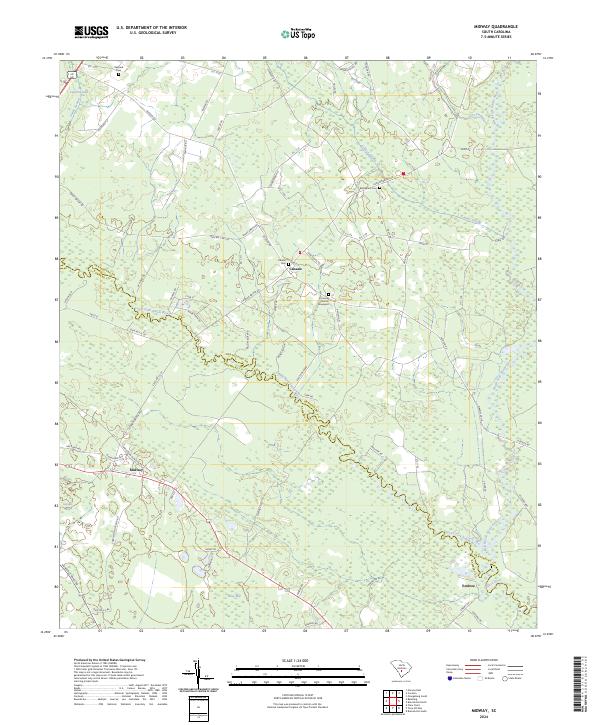 2024 Midway2024 Print · USGSOrangeburg and Bamberg counties meet along the winding South Fork Edisto River in this modern topographic survey. Researchers can locate established rural centers like Midway and Canaan alongside historic burial grounds at Bethlehem Cem and Canaan Cem.
End of results
Showing maps 1-17 of 17
Top cities near Embree
- Orangeburg historical maps
- Bamberg historical maps
- Bowman historical maps
- Branchville historical maps
- Ehrhardt historical maps
- Rowesville historical maps
See more
Frequently asked questions
- What are the different types of historical maps available for Embree?
- What is the oldest map of Embree?
- Where can I purchase historical maps of Embree for my home or office?
- Where can I download high-res historical maps of Embree?
- Are there historical topographic maps available for Embree?
- Is there historical aerial imagery available for Embree?
- Where are historical maps of Embree sourced from?