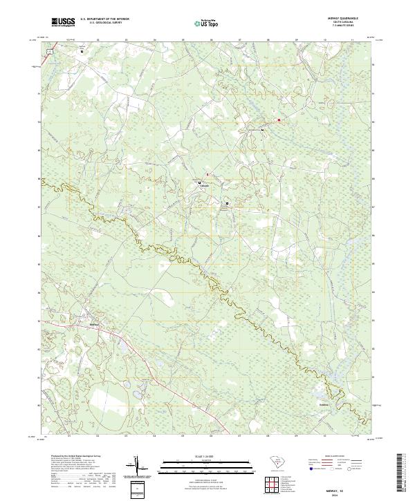
2024 Map of Midway
USGS Topo · Published 2024About this map
The South Fork Edisto River meanders across this landscape, serving as a natural boundary between Orangeburg and Bamberg counties. The area is defined by its deep hydrological network, where large wetland features like Snake Swamp, Cooper Swamp, and Dry Swamp intersect with the river system. In the northern reaches, the North Fork Edisto River joins the main branch near the settlement of Embree. This modern survey illustrates the persistent rural character of the region, anchored by established communities such as Midway and Canaan. For genealogists, the map preserves the locations of numerous historic burial sites and congregations, including Bethlehem Cem, Canaan Cem, and Emanuel Church. The intersection of riverine topography and local infrastructure reveals a quiet agricultural interior punctuated by landmarks like Cowford Lake and Gannts Bay.
Find a feature on this map
81 named features on this map. Tap any name to fly to it.
Don’t see what you’re looking for? This feature index may not catch every label — zoom into the map to look around manually.
Map Details
Editions of this 2024 Midway Map
This is the sole edition of this map. No revisions or reprints were ever made.
Other maps of this area

1919 · Olar
USGS Topo · 1:62,500

1919 · Bamberg
USGS Topo · 1:48,000

1919 · Lodge
USGS Topo · 1:62,500

1920 · Lodge
USGS Topo · 1:48,000

1920 · Bamberg
USGS Topo · 1:62,500

1920 · Orangeburg
USGS Topo · 1:48,000

1921 · Orangeburg
USGS Topo · 1:62,500

1921 · Lodge
USGS Topo · 1:62,500

1943 · Olar
USGS Topo · 1:62,500

1943 · Lodge
USGS Topo · 1:62,500