2020s Maps of Beaufort, South Carolina
Explore 12 historic maps of Beaufort from the 2020s. These maps offer a rare glimpse into what life looked like during the 2020s — showing old roads, neighborhoods, homes, and landmarks that have changed or disappeared over time.
Whether you're researching your family's past, planning a metal detecting trip, or studying how Beaufort's landscape evolved across the 2020s, these high-resolution maps are a powerful tool for exploring the history of this region.
- Focus on a specific era: All maps on this page are from the 2020s, giving you a focused view of this time period.
- See what’s changed: Compare century-old streets, trails, and buildings to today's modern landscape using overlays and satellite layers.
- Research with precision: Use these maps for genealogy, historical research, land use analysis, or educational projects.
- View, download, or print: Maps are fully viewable online in high resolution, and can be downloaded or printed for your own records.
Start exploring Beaufort's history through authentic maps from the 2020s. This is your window into the past.
Beaufort, SC maps
(12)- 2020 Map of Dale, 2020 Print
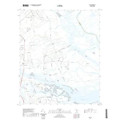 2020 Dale2020 Print · USGSCovers Beaufort, including Chisolms, Briars, and other nearby areas
 - 2020 Map of Beaufort, 2020 Print
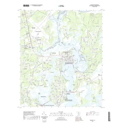 2020 Beaufort2020 Print · USGSCovers Beaufort, including Port Royal, Gay Oaks, and other nearby areas
 - 2020 Map of Sheldon, 2020 Print
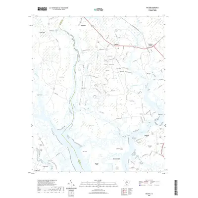 2020 Sheldon2020 Print · USGSCovers Beaufort, including Fairview, Gardens Corner, and other nearby areas
 - 2020 Map of Frogmore, 2020 Print
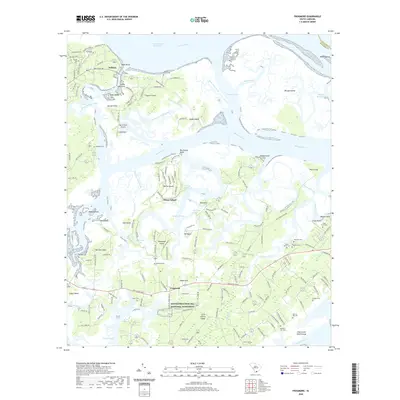 2020 Frogmore2020 Print · USGSCovers Beaufort, including Ashdale, Wilkins, and other nearby areas
 - 2020 Map of Laurel Bay, 2020 Print
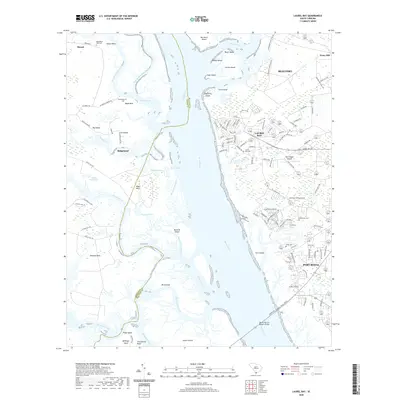 2020 Laurel Bay2020 Print · USGSCovers Beaufort, including Port Royal, Quail Ridge, and other nearby areas
 - 2020 Map of Parris Island, 2020 Print
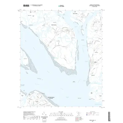 2020 Parris Island2020 Print · USGSCovers Beaufort, including Hilton Head Island, Port Royal, and other nearby areas
 - 2024 Map of Dale, 2024 Print
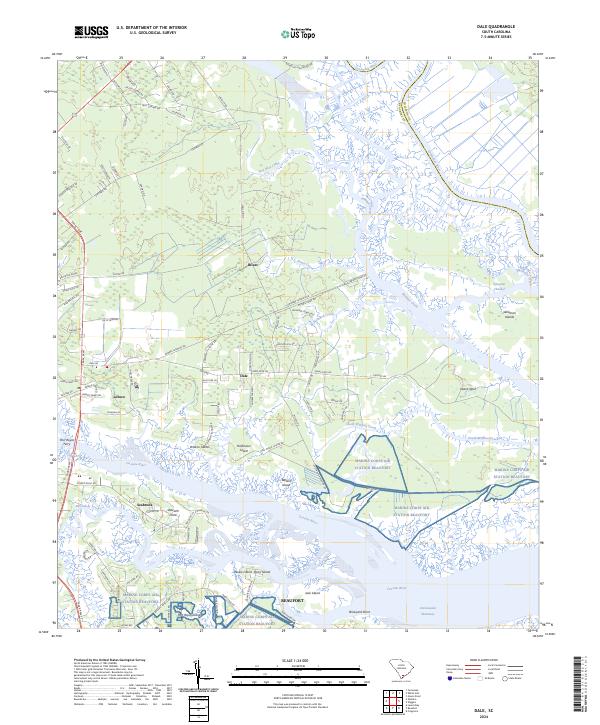 2024 Dale2024 Print · USGSThe South Carolina lowcountry near Beaufort is captured here in detail, showcasing the region's complex coastal geography and military presence. Researchers can trace land use around Dale, the expansive Marine Corps Air Station Beaufort, and river landings at Stewarts Point.
 - 2024 Map of Parris Island, 2024 Print
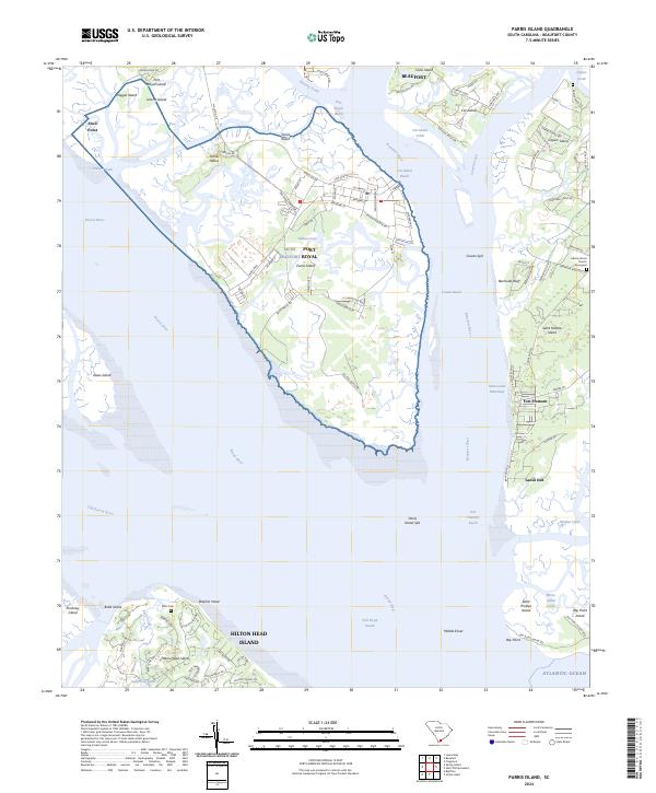 2024 Parris Island2024 Print · USGSCoastal Beaufort County comes into sharp focus during the 2020s, showing the intersection of military training grounds and quiet island life. Researchers can trace the layout of MCRD on Parris Island or locate family markers at Elliot Cem and Adams Street Church Graveyard.
 - 2024 Map of Frogmore, 2024 Print
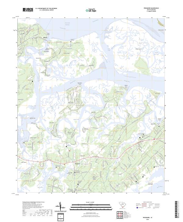 2024 Frogmore2024 Print · USGSThe Sea Islands of Beaufort County are captured here in the modern era, centering on the significant heritage sites of Saint Helena Island. Genealogists and historians can locate numerous family burial grounds including Cherry Hill Cem, Fuller Cem, and the historic Brick Baptist Church Cem.
 - 2024 Map of Laurel Bay, 2024 Print
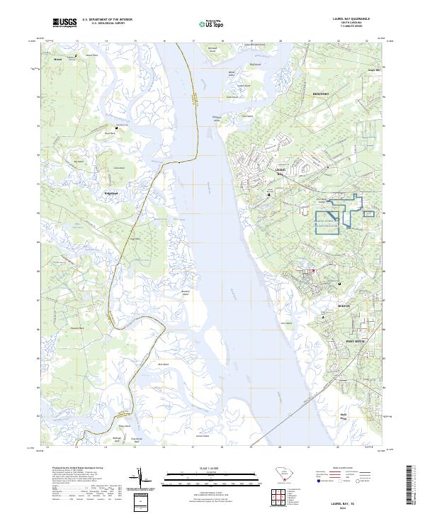 2024 Laurel Bay2024 Print · USGSCoastal Beaufort County's intricate tidal waterways and military installations are showcased in this modern survey of the South Carolina Lowcountry. Researchers can locate historic burial sites like Republican Hall Cem and Habersham Cem alongside Marine Corps Air Station Beaufort.
 - 2024 Map of Beaufort, 2024 Print
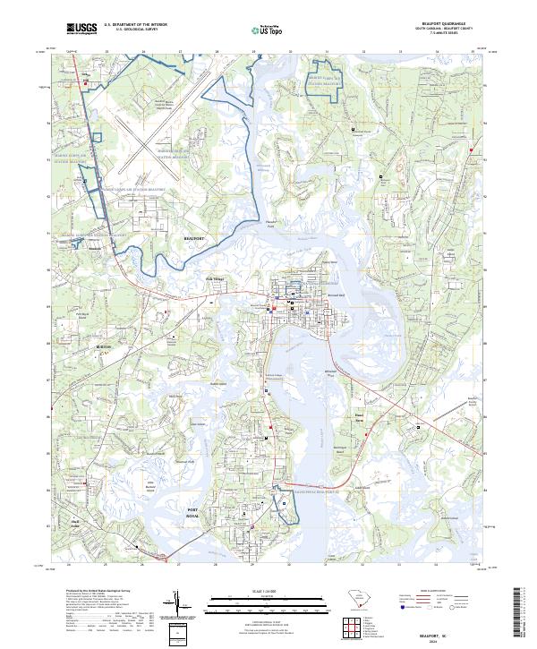 2024 Beaufort2024 Print · USGSThe South Carolina Lowcountry comes into focus in this contemporary survey of the Sea Islands and historic waterfronts. Trace the landmarks of the Reconstruction Era National Monument and the grounds of the Beaufort National Cemetery.
 - 2024 Map of Sheldon, 2024 Print
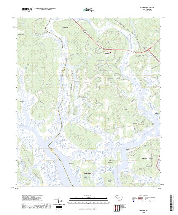 2024 Sheldon2024 Print · USGSCoastal Beaufort County in the 2020s remains a region of sprawling marshlands and historic landings. Researchers can trace family ties and geography through settlements like Gardens Corner, Seabrook, and the winding Huspa Creek.
End of results
Showing maps 1-12 of 12
Top cities near Beaufort
- Hilton Head Island historical maps
- Port Royal historical maps
- Bluffton historical maps
- Hardeeville historical maps
Top neighborhoods of Beaufort
- Mink Point Plantation historical maps
- Waterford Place historical maps
- The Point historical maps
- Beaufort Historic District historical maps
Frequently asked questions
- What are the different types of historical maps available for Beaufort?
- What is the oldest map of Beaufort?
- Where can I purchase historical maps of Beaufort for my home or office?
- Where can I download high-res historical maps of Beaufort?
- Are there historical topographic maps available for Beaufort?
- Is there historical aerial imagery available for Beaufort?
- Where are historical maps of Beaufort sourced from?