2000s (21st Century) Maps of Kiawah Island, South Carolina
Explore 25 historic maps of Kiawah Island from the 2000s (21st Century). These maps offer a rare glimpse into what life looked like during the 2000s — showing old roads, neighborhoods, homes, and landmarks that have changed or disappeared over time.
Whether you're researching your family's past, planning a metal detecting trip, or studying how Kiawah Island's landscape evolved across the 2000s, these high-resolution maps are a powerful tool for exploring the history of this region.
- Focus on a specific era: All maps on this page are from the 2000s, giving you a focused view of this time period.
- See what’s changed: Compare century-old streets, trails, and buildings to today's modern landscape using overlays and satellite layers.
- Research with precision: Use these maps for genealogy, historical research, land use analysis, or educational projects.
- View, download, or print: Maps are fully viewable online in high resolution, and can be downloaded or printed for your own records.
Start exploring Kiawah Island's history through authentic maps from the 2000s. This is your window into the past.
Kiawah Island, SC maps
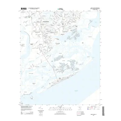
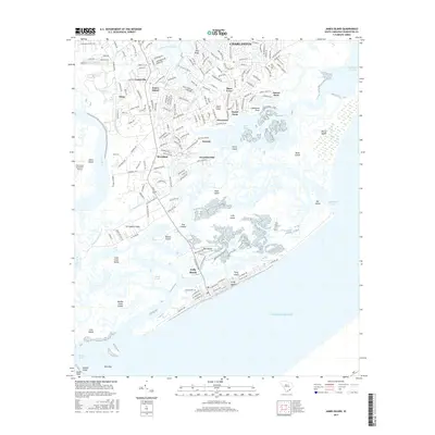
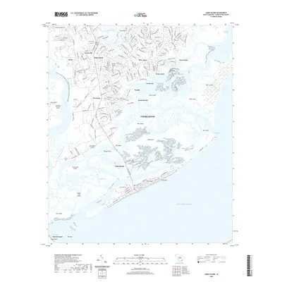
(25)- 2011 Map of James Island, 2011 Print
 2011 James Island2011 Print · USGSCovers Kiawah Island, including Charleston, Folly Beach, and other nearby areas
 - 2011 Map of Kiawah Island OE E, 2011 Print
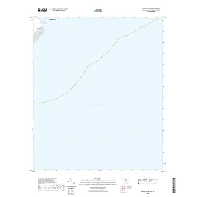
 2011 Kiawah Island OE E2011 Print · USGSCovers Kiawah Island, including Folly Beach, Charleston County, and other nearby areas
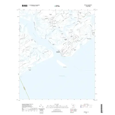
 - 2011 Map of Rockville, 2011 Print
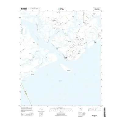
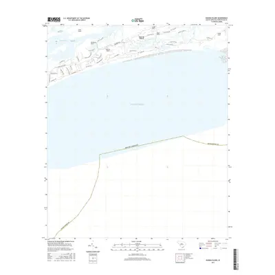
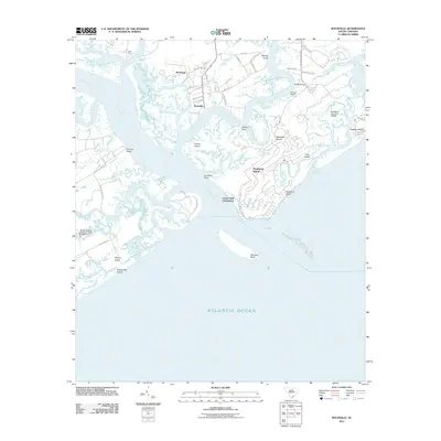 2011 Rockville2011 Print · USGSCovers Kiawah Island, including Seabrook Island, Rockville, and other nearby areas
 - 2011 Map of Legareville, 2011 Print
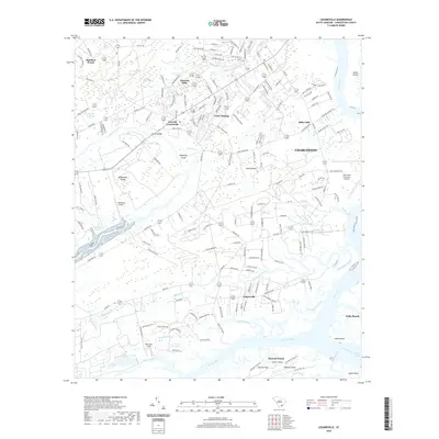
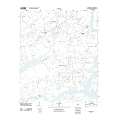 2011 Legareville2011 Print · USGSCovers Kiawah Island, including Charleston, Folly Beach, and other nearby areas
 - 2011 Map of Kiawah Island, 2011 Print
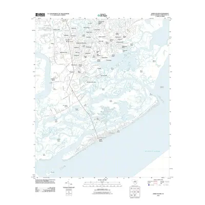
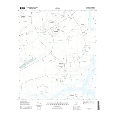
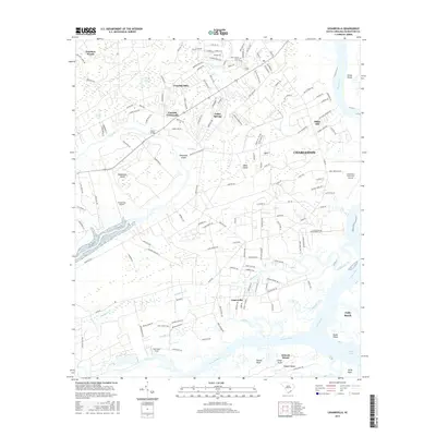
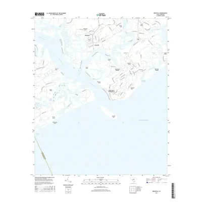
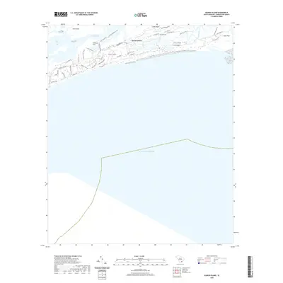
 2011 Kiawah Island2011 Print · USGSCovers Kiawah Island, including Johns Island, Charleston County, and other nearby areas
 - 2014 Map of Kiawah Island OE E, 2014 Print
 2014 Kiawah Island OE E2014 Print · USGSCovers Kiawah Island, including Folly Beach, Charleston County, and other nearby areas
 - 2014 Map of James Island, 2014 Print
 2014 James Island2014 Print · USGSCovers Kiawah Island, including Charleston, Folly Beach, and other nearby areas
 - 2014 Map of Kiawah Island, 2014 Print
 2014 Kiawah Island2014 Print · USGSCovers Kiawah Island, including Johns Island, Charleston County, and other nearby areas
 - 2014 Map of Legareville, 2014 Print
 2014 Legareville2014 Print · USGSCovers Kiawah Island, including Charleston, Folly Beach, and other nearby areas
 - 2014 Map of Rockville, 2014 Print
 2014 Rockville2014 Print · USGSCovers Kiawah Island, including Seabrook Island, Rockville, and other nearby areas
 - 2017 Map of James Island, 2017 Print
 2017 James Island2017 Print · USGSCovers Kiawah Island, including Charleston, Folly Beach, and other nearby areas
 - 2017 Map of Legareville, 2017 Print
 2017 Legareville2017 Print · USGSCovers Kiawah Island, including Charleston, Folly Beach, and other nearby areas
 - 2017 Map of Rockville, 2017 Print
 2017 Rockville2017 Print · USGSCovers Kiawah Island, including Seabrook Island, Rockville, and other nearby areas
 - 2017 Map of Kiawah Island, 2017 Print
 2017 Kiawah Island2017 Print · USGSCovers Kiawah Island, including Johns Island, Charleston County, and other nearby areas
 - 2017 Map of Kiawah Island OE E, 2017 Print
 2017 Kiawah Island OE E2017 Print · USGSCovers Kiawah Island, including Folly Beach, Charleston County, and other nearby areas
 - 2020 Map of Legareville, 2020 Print
 2020 Legareville2020 Print · USGSCovers Kiawah Island, including Charleston, Folly Beach, and other nearby areas
 - 2020 Map of Kiawah Island, 2020 Print
 2020 Kiawah Island2020 Print · USGSCovers Kiawah Island, including Johns Island, Charleston County, and other nearby areas
 - 2020 Map of Rockville, 2020 Print
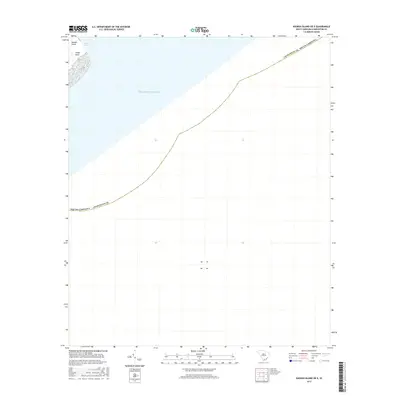
 2020 Rockville2020 Print · USGSCovers Kiawah Island, including Seabrook Island, Rockville, and other nearby areas
 - 2020 Map of Kiawah Island OE E, 2020 Print
 2020 Kiawah Island OE E2020 Print · USGSCovers Kiawah Island, including Folly Beach, Charleston County, and other nearby areas
 - 2020 Map of James Island, 2020 Print
 2020 James Island2020 Print · USGSCovers Kiawah Island, including Charleston, Folly Beach, and other nearby areas
 - 2024 Map of Kiawah Island, 2024 Print
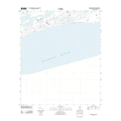
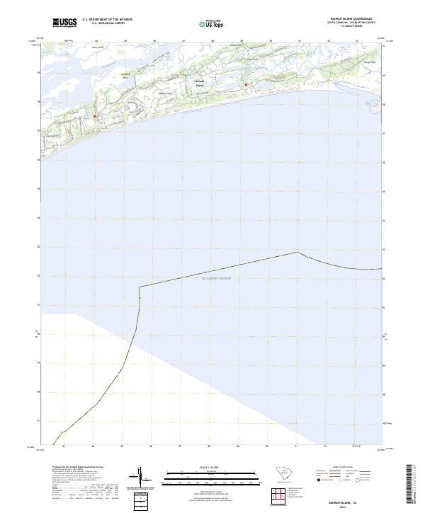 2024 Kiawah Island2024 Print · USGSKiawah Island and its surrounding marshlands are captured in this recent survey during a period of refined coastal development. Researchers can trace the modern layout of residential communities and navigate landmarks like Shullbred Point, Bass Creek, and Captain Maynards Island.
 - 2024 Map of Kiawah Island OE E, 2024 Print
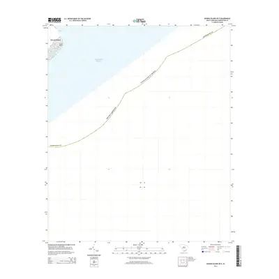
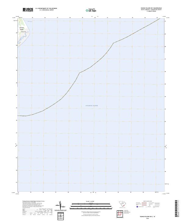 2024 Kiawah Island OE E2024 Print · USGSThe South Carolina coast near Charleston is captured here in the mid-2020s, focusing on the maritime gateway where the ocean meets the land. Trace the shifting shoreline of Kiawah Island and the critical waters of Stono Inlet and Sandy Point.
 - 2024 Map of Legareville, 2024 Print
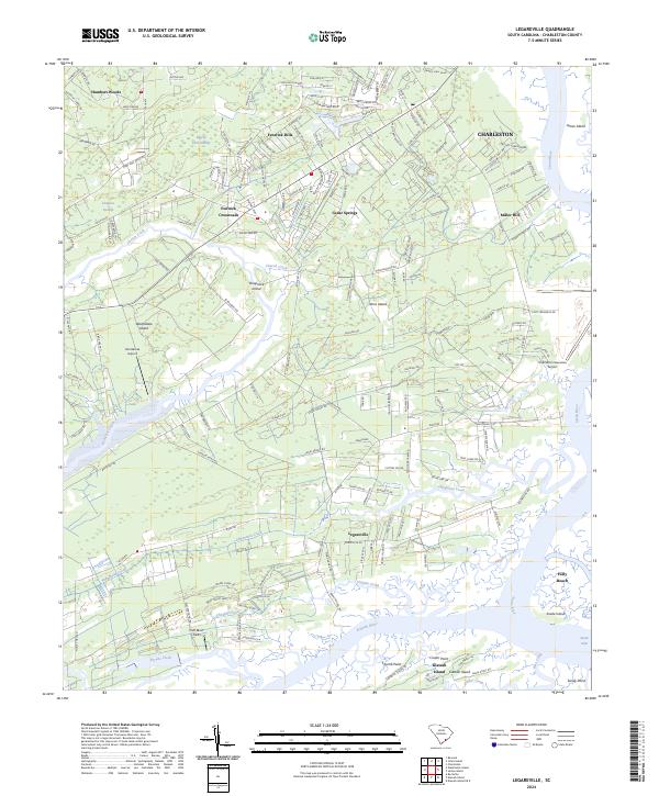 2024 Legareville2024 Print · USGSCoastal Charleston County comes into focus in the early twenty-first century, showing the evolving landscape of Johns Island and Wadmalaw Island. Genealogists and researchers can trace modern landmarks and neighborhoods from Legareville to Fenwick Crossroads and the Stono River shoreline.
 - 2024 Map of Rockville, 2024 Print
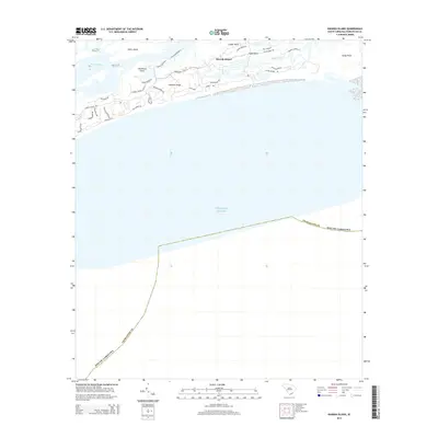
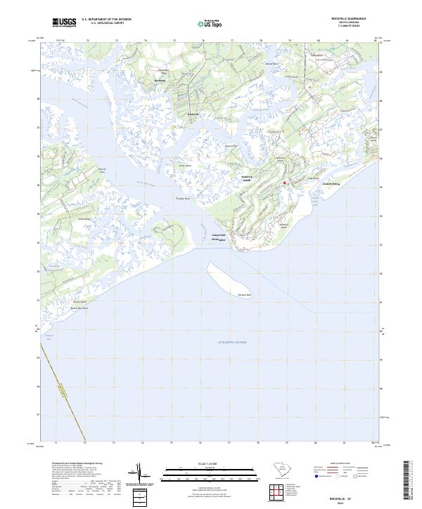 2024 Rockville2024 Print · USGSThe South Carolina Sea Islands are documented here in modern detail, from the historic waterfront of Rockville to the sandy reaches of Edisto Island. Trace the shifting shorelines of Deveaux Bank and locate family-named landmarks like Jenkins Point and Point of Pines.
 - 2024 Map of James Island, 2024 Print
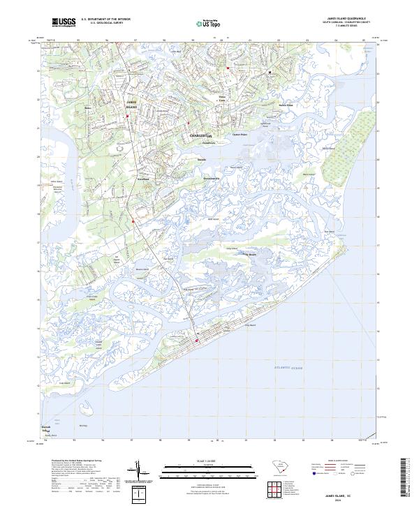 2024 James Island2024 Print · USGSThe Lowcountry landscape of James Island appears here in high detail, showing the modern suburban and coastal reach of Charleston. Researchers can trace local landmarks like Holy Cross Cem, the historic settlement of Secessionville, and the developed shoreline of Folly Beach.
End of results
Showing maps 1-25 of 25
Top cities near Kiawah Island
- Charleston historical maps
- North Charleston historical maps
- Mount Pleasant historical maps
- Hollywood historical maps
- Ravenel historical maps
- Folly Beach historical maps
See more
Top neighborhoods of Kiawah Island
- Vanderhorst historical maps
- West Beach historical maps
- East Beach historical maps
- Ocean Park historical maps
- Oyster Rake historical maps
- The Pointe historical maps
See more
Frequently asked questions
- What are the different types of historical maps available for Kiawah Island?
- What is the oldest map of Kiawah Island?
- Where can I purchase historical maps of Kiawah Island for my home or office?
- Where can I download high-res historical maps of Kiawah Island?
- Are there historical topographic maps available for Kiawah Island?
- Is there historical aerial imagery available for Kiawah Island?
- Where are historical maps of Kiawah Island sourced from?