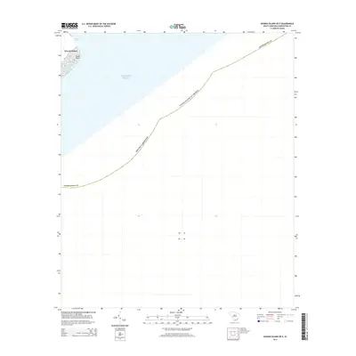
2014 Map of Kiawah Island OE E
USGS Topo · Published 2014About this map
Kiawah Island and its eastern littoral zone are defined by the tidal dynamics of the Stono Inlet and the Atlantic Ocean. This 2014 coastal survey highlights the shifting sands of Sandy Point, a critical geographic marker at the edge of Charleston Co. The map illustrates the maritime boundary of the United States of America as it extends into the sea, tracing the legal and geographic limits of the South Carolina coastline. Given the absence of interior topography or elevation data, the focus remains entirely on the hydrography and the fragile interface between the barrier island system and the open ocean.
Find a feature on this map
7 named features on this map. Tap any name to fly to it.
Don’t see what you’re looking for? This feature index may not catch every label — zoom into the map to look around manually.
Map Details
Editions of this 2014 Kiawah Island OE E Map
This is the sole edition of this map. No revisions or reprints were ever made.
Other maps of this area

1918 · Kiawah Island
USGS Topo · 1:21,120

1919 · The Jetties
USGS Topo · 1:21,120

1919 · Wadmelaw Island
USGS Topo · 1:62,500

1919 · James Island
USGS Topo · 1:21,120

1919 · Legareville
USGS Topo · 1:21,120

1943 · Legareville
USGS Topo · 1:24,000

1943 · James Island
USGS Topo · 1:24,000

1943 · Kiawah Island
USGS Topo · 1:24,000

1944 · Wadmelaw Island
USGS Topo · 1:62,500

1947 · Savannah
USGS Topo · 1:250,000