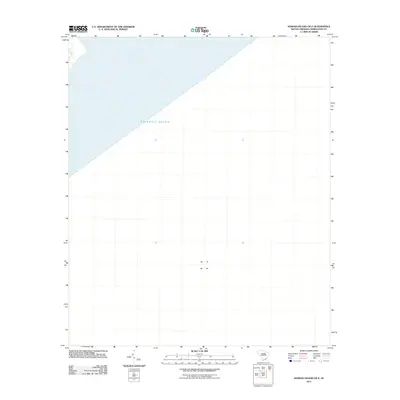
2011 Map of Kiawah Island OE E
USGS Topo · Published 2011About this map
The vast expanse of the Atlantic Ocean dominates this offshore survey off the South Carolina coast. Produced by the U.S. Geological Survey using satellite imagery and hydrography data from the late 2000s, this sheet focuses on the open waters southeast of the Kiawah and Folly Beach area. While the landmass itself lies beyond the northwestern corner of this specific quadrangle, the map provides a precise maritime reference for the coastal waters during the early twenty-first century, useful for understanding the proximity of the barrier islands to the shelf.
Find a feature on this map
1 named feature on this map. Tap any name to fly to it.
Don’t see what you’re looking for? This feature index may not catch every label — zoom into the map to look around manually.
Map Details
Editions of this 2011 Kiawah Island OE E Map
This is the sole edition of this map. No revisions or reprints were ever made.
Other maps of this area

1918 · Kiawah Island
USGS Topo · 1:21,120

1919 · The Jetties
USGS Topo · 1:21,120

1919 · Wadmelaw Island
USGS Topo · 1:62,500

1919 · James Island
USGS Topo · 1:21,120

1919 · Legareville
USGS Topo · 1:21,120

1943 · Legareville
USGS Topo · 1:24,000

1943 · James Island
USGS Topo · 1:24,000

1943 · Kiawah Island
USGS Topo · 1:24,000

1944 · Wadmelaw Island
USGS Topo · 1:62,500

1947 · Savannah
USGS Topo · 1:250,000