2000s (21st Century) Maps of Charleston, South Carolina
Explore 45 historic maps of Charleston from the 2000s (21st Century). These maps offer a rare glimpse into what life looked like during the 2000s — showing old roads, neighborhoods, homes, and landmarks that have changed or disappeared over time.
Whether you're researching your family's past, planning a metal detecting trip, or studying how Charleston's landscape evolved across the 2000s, these high-resolution maps are a powerful tool for exploring the history of this region.
- Focus on a specific era: All maps on this page are from the 2000s, giving you a focused view of this time period.
- See what’s changed: Compare century-old streets, trails, and buildings to today's modern landscape using overlays and satellite layers.
- Research with precision: Use these maps for genealogy, historical research, land use analysis, or educational projects.
- View, download, or print: Maps are fully viewable online in high resolution, and can be downloaded or printed for your own records.
Start exploring Charleston's history through authentic maps from the 2000s. This is your window into the past.
Charleston, SC maps
(45)- 2011 Map of North Charleston, 2011 Print
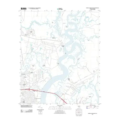 2011 North Charleston2011 Print · USGSCharleston's northern reaches are shown here in the early twenty-first century as military and suburban footprints overlay the older riverside landscape. Genealogists and historians can locate the Yeamans Hall Plantation Cemetery or trace the reach of the US Naval Weapons Station.
 - 2011 Map of Cainhoy, 2011 Print
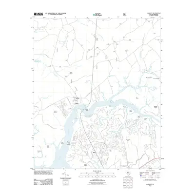 2011 Cainhoy2011 Print · USGSCoastal Charleston County enters a new century of growth as residential networks expand along the Wando River and its tidal creeks. Genealogists and local historians can trace family ties at Saint Thomas Cemetery, McDowell Cemetery, and the Huger Post Office.
 - 2011 Map of Charleston, 2011 Print
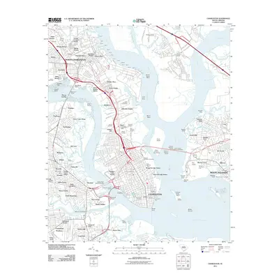 2011 Charleston2011 Print · USGSCoastal South Carolina thrives at the confluence of the Ashley and Cooper rivers in the early 21st century. Historians can trace landmark sites like the Old Slave Mart and Castle Pinckney, or explore residential patterns in Whipper-Barony and Maryville.
 - 2011 Map of James Island, 2011 Print
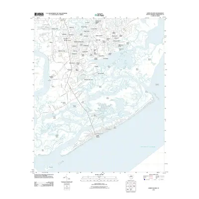 2011 James Island2011 Print · USGSJames Island and the surrounding South Carolina Lowcountry are captured here at the beginning of the 2010s. Researchers can trace family sites near Holy Cross Cemetery, locate the historic Secessionville area, or explore the coastal development of Folly Beach.
 - 2011 Map of Fort Moultrie, 2011 Print
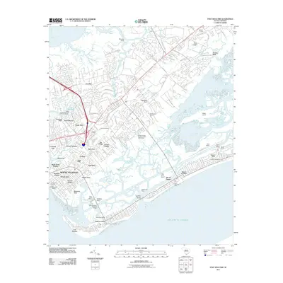 2011 Fort Moultrie2011 Print · USGSMount Pleasant and the barrier islands of the Lowcountry are captured in the early twenty-first century as suburban growth meets coastal history. Genealogists and historians can locate the Confederate Cemetery on Sullivans Island or trace the development of older settlements like Snowden and The Village.
 - 2011 Map of James Island OE E, 2011 Print
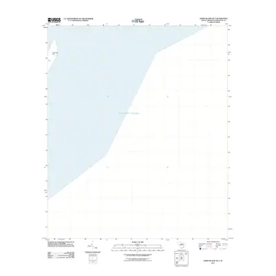 2011 James Island OE E2011 Print · USGSThe Charleston coast in 2011 is captured in this coastal survey, focusing on the interface between land and sea. Researchers can pinpoint the exact position of Cummings Point against the vast Atlantic Ocean as it appeared during this era.
 - 2011 Map of Ravenel, 2011 Print
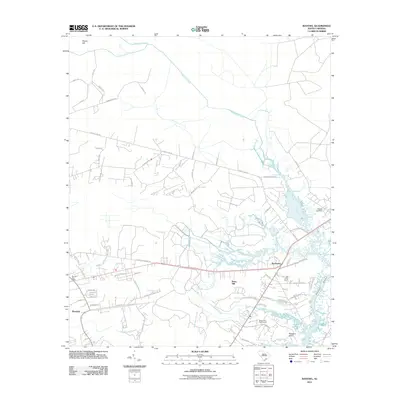 2011 Ravenel2011 Print · USGSIn the South Carolina Lowcountry during the early twenty-first century, the landscape around Ravenel and Rantowles reveals a mix of tidal marshes and growing communities. Researchers can trace local lineage at the Hughes Cemetery or follow the winding paths of Fishburne Creek and the Stono River.
 - 2011 Map of Johns Island, 2011 Print
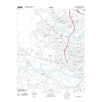 2011 Johns Island2011 Print · USGSCoastal South Carolina comes into focus in this late-career study of the Ashley and Stono riverfronts. Researchers can locate historic sites like Drayton Hall alongside modern local landmarks including Fort Bull and the Buzzards Roost Marina.
 - 2011 Map of Legareville, 2011 Print
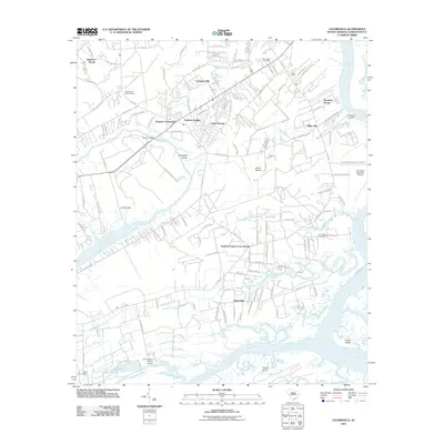 2011 Legareville2011 Print · USGSCoastal Johns Island in the early twenty-first century reveals a intricate landscape of tidal creeks and established island communities. Trace local lineages and land use near Legareville, Huskum Corner Cross Roads, and historical points like Exchange Landing and Mullet Hall.
 - 2014 Map of North Charleston, 2014 Print
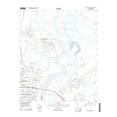 2014 North Charleston2014 Print · USGSCoastal South Carolina comes into focus during this period of suburban growth and industrial continuity along the Cooper River. Researchers can trace the layout of residential developments like Menriv Park and Dominion Hills or locate historic sites like Yeamans Hall Plantation Cem.
 - 2014 Map of James Island OE E, 2014 Print
 2014 James Island OE E2014 Print · USGSCoastal South Carolina is mapped here just after the turn of the twenty-first century, focusing on the waters near the harbor entrance. Trace the shoreline of James Island out to Cummings Point where it meets the Atlantic Ocean.
 - 2014 Map of Fort Moultrie, 2014 Print
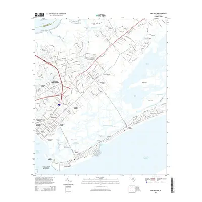 2014 Fort Moultrie2014 Print · USGSCoastal South Carolina comes into focus in this recent study of the defensive and residential landscape guarding the harbor. Genealogists and historians can locate family markers in the Confederate Cem or Ocean Grove Cem, while tracing the footprints of Fort Moultrie and Sullivan's Island.
 - 2014 Map of Cainhoy, 2014 Print
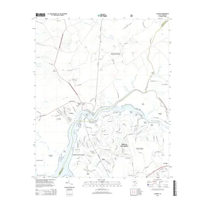 2014 Cainhoy2014 Print · USGSThe Lowcountry landscape north of Charleston comes into focus during this period of suburban growth and forest preservation. Researchers can locate several burial grounds including Saint Thomas Cem and trace the tidal reaches of the Wando River past Cainhoy.
 - 2014 Map of Charleston, 2014 Print
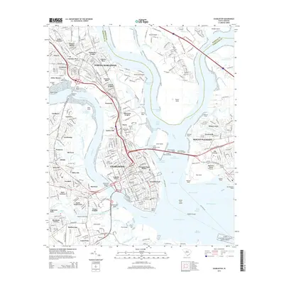 2014 Charleston2014 Print · USGSThe Charleston peninsula and its harbor are shown in detail during the mid-2010s, capturing the city's historic core alongside its modern infrastructure. Researchers can locate numerous historic burial sites like the Quaker Churchyard and Hebrew Cem, or trace the waterfront at Patriots Point and Oyster Point.
 - 2014 Map of James Island, 2014 Print
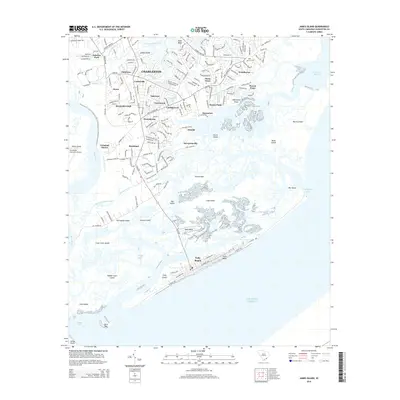 2014 James Island2014 Print · USGSThe coastal marshlands and barrier islands of South Carolina come to life in this mid-2010s survey of James Island. Researchers can trace local neighborhoods from Secessionville to Folly Beach and locate landmarks like Holy Cross Cem and the Stono River.
 - 2014 Map of Ravenel, 2014 Print
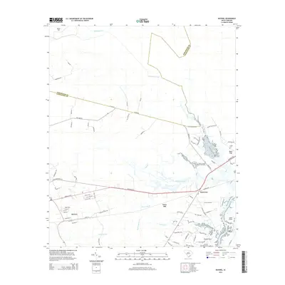 2014 Ravenel2014 Print · USGSThe South Carolina Lowcountry west of the Stono River appears here in the early twenty-first century as a landscape of tidal creeks and coastal hamlets. Genealogists and historians can locate the Tomb of Colonel William Washington and trace the rail-side growth of Ravenel and Rantowles.
 - 2014 Map of Legareville, 2014 Print
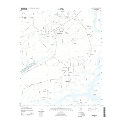 2014 Legareville2014 Print · USGSCoastal South Carolina comes into focus in this mid-2010s survey of the sea islands and tidal marshes south of Charleston. Genealogists and local historians can trace family-named areas like Humbert Woods or locate the historic site of Legareville along the Kiawah River.
 - 2014 Map of Johns Island, 2014 Print
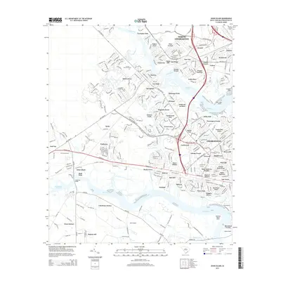 2014 Johns Island2014 Print · USGSIn the South Carolina lowcountry during the early 2010s, modern neighborhoods and tidal marshes define the landscape between the Ashley River and Stono River. Trace local development and genealogy through landmarks like Live Oak Memorial Gardens, Drayton, and Ashley Hall.
 - 2017 Map of James Island, 2017 Print
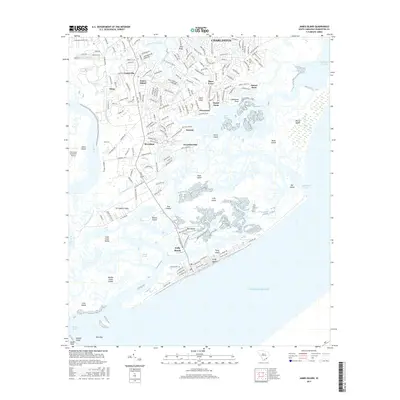 2017 James Island2017 Print · USGSCoastal South Carolina comes alive in this survey of the barrier islands and tidal creeks south of Charleston. Genealogists and historians can trace the road networks of James Island, the layout of Secessionville, and the shoreline of Folly Beach.
 - 2017 Map of Charleston, 2017 Print
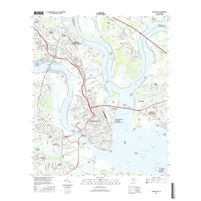 2017 Charleston2017 Print · USGSCharleston and the surrounding Lowcountry islands are shown at a peak of modern development just before the end of the decade. Genealogists and historians can trace neighborhood boundaries from Whipper-Barony to Scanlonville and locate burial sites at Magnolia Cem or Saint Peters Cem.
 - 2017 Map of Fort Moultrie, 2017 Print
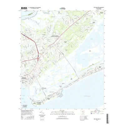 2017 Fort Moultrie2017 Print · USGSCoastal South Carolina comes alive in this survey of the islands and waterways guarding Charleston. Researchers can trace historic military sites like Fort Moultrie or locate family markers at Venning Cem and the Confederate Cem.
 - 2017 Map of Legareville, 2017 Print
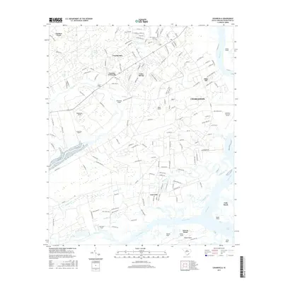 2017 Legareville2017 Print · USGSThe South Carolina Sea Islands west of Charleston are documented here during a period of modern residential growth and coastal change. Genealogists and historians can trace the developments of Johns Island, Legareville, and Fenwick Crossroads near the Stono River.
 - 2017 Map of Ravenel, 2017 Print
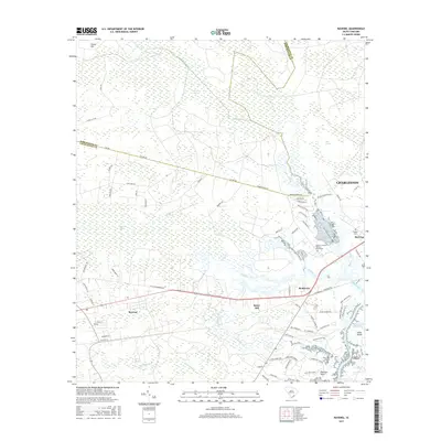 2017 Ravenel2017 Print · USGSThe Lowcountry near Ravenel and Rantowles is captured here during a period of modern growth and historical preservation. Researchers can locate significant sites like the Tomb of Colonel William Washington, Hughes Cem, and the maritime edge of the Intracoastal Waterway.
 - 2017 Map of Johns Island, 2017 Print
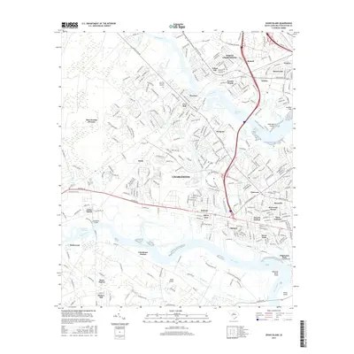 2017 Johns Island2017 Print · USGSCoastal South Carolina comes alive in this contemporary survey of the sea islands and the mainland at the decade's end. Researchers can trace the development of residential neighborhoods like Pinecrest and Oakland or locate historical points of interest such as Fort Bull and Accabee Flats.
 - 2017 Map of James Island OE E, 2017 Print
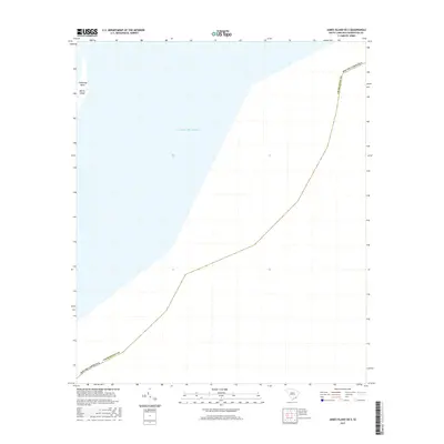 2017 James Island OE E2017 Print · USGSThe South Carolina coast near Charleston comes into focus in this recent maritime survey. Researchers can trace the modern shoreline of Morris Island and the strategic position of Cummings Point against the Atlantic Ocean.
Showing maps 1-25 of 45
Top cities near Charleston
- North Charleston historical maps
- Mount Pleasant historical maps
- Summerville historical maps
- Goose Creek historical maps
- Hanahan historical maps
- Hollywood historical maps
See more
Top neighborhoods of Charleston
- Oakcrest historical maps
- Kings Acres historical maps
- Stono historical maps
- Riverpoint historical maps
- Three Trees historical maps
- Ashley Hall Manor historical maps
See more
Frequently asked questions
- What are the different types of historical maps available for Charleston?
- What is the oldest map of Charleston?
- Where can I purchase historical maps of Charleston for my home or office?
- Where can I download high-res historical maps of Charleston?
- Are there historical topographic maps available for Charleston?
- Is there historical aerial imagery available for Charleston?
- Where are historical maps of Charleston sourced from?