Old Maps of Gandy, South Carolina for Genealogy
Trace your family roots with 9 historic maps of Gandy. These high-res maps reveal old neighborhoods, homesites, landmarks, and streets — helping you uncover where your ancestors lived and how the area evolved over time.
- Explore historic neighborhoods: Identify where your relatives may have lived in the 1800s or 1900s.
- Compare maps over time: Trace the changes in streets, buildings, and landmarks for multi-generational research.
- Perfect for genealogy & ancestry research: Used by family historians and researchers to map out lineage and migration.
These maps are an incredible resource for exploring your personal connection to Gandy's past.
Gandy, SC maps
(9)- 1953 Map of Florence, 1964 Print
 1953 Florence1964 Print · USGSThe Carolina borderlands in the mid-fifties were a landscape of vast river swamps and rising rail towns. Trace the legacy of the Seaboard Air Line through Florence or explore the wetlands surrounding Lake Waccamaw and the Green Swamp.3 unique versions available
 - 1954 Map of Florence
 1954 Florence1954 Print · USGSThe Carolinas borderlands come alive in the early fifties, showing the vital rail-and-river networks of the coastal plain. Genealogists can trace family footprints across the Green Swamp or through settlements like Red Springs, Chadbourn, and McColl.
 - 1963 Map of Mont Clare, 1964 Print
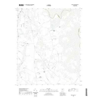
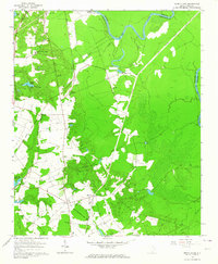 1963 Mont Clare1964 Print · USGSThe Pee Dee River basin in the 1960s reveals a rural Darlington County landscape of family cemeteries and crossroad settlements. Researchers can locate the Rosenwald Consolidated Sch, trace the Old Grade Railroad, and find markers like Round O Cem.
 - 1983 Map of Florence, 1985 Print
 1983 Florence1985 Print · USGSThe Pee Dee region in the early eighties shows a landscape shaped by river commerce and rail expansion. Researchers can trace historic river crossings at Galivants Ferry or locate vanished rail stops like Willow Creek Siding and Blue Brick.
 - 2011 Map of Mont Clare, 2011 Print
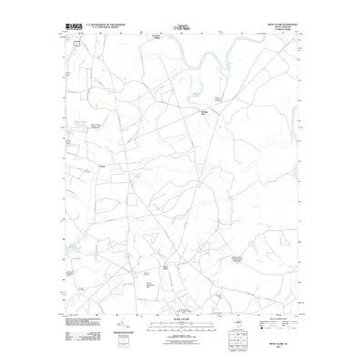 2011 Mont Clare2011 Print · USGSCovers Gandy, including Society Hill, Robbins Neck, and other nearby areas
 - 2014 Map of Mont Clare, 2014 Print
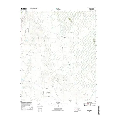
 2014 Mont Clare2014 Print · USGSCovers Gandy, including Society Hill, Robbins Neck, and other nearby areas
 - 2017 Map of Mont Clare, 2017 Print
 2017 Mont Clare2017 Print · USGSCovers Gandy, including Society Hill, Robbins Neck, and other nearby areas
 - 2020 Map of Mont Clare, 2020 Print
 2020 Mont Clare2020 Print · USGSCovers Gandy, including Society Hill, Robbins Neck, and other nearby areas
 - 2024 Map of Mont Clare, 2024 Print
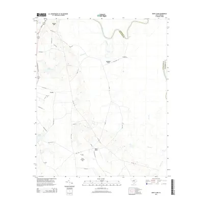
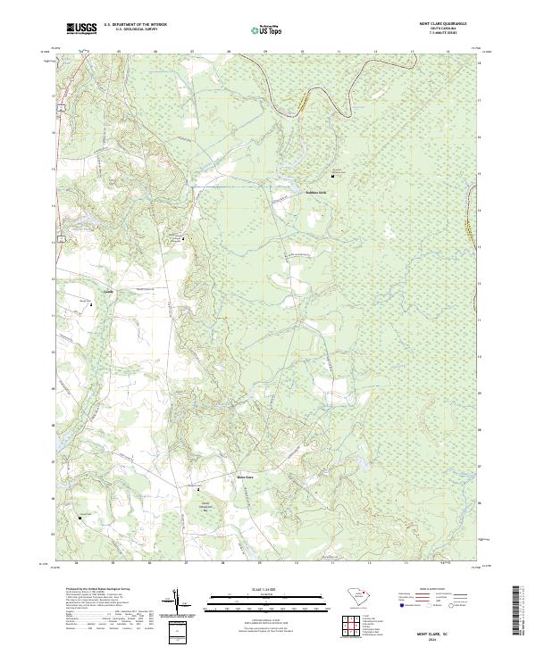 2024 Mont Clare2024 Print · USGSDarlington and Marlboro counties meet along the winding banks of the Great Pee Dee River in this modern-day survey. Genealogists can trace family burial sites at Governor Williams Cem or Round O Cem and explore local landmarks like Devils Woodyard Bay.
End of results
Showing maps 1-9 of 9
Top cities near Gandy
- Florence historical maps
- Bennettsville historical maps
- Hartsville historical maps
- Darlington historical maps
- Quinby historical maps
- Society Hill historical maps
See more
Frequently asked questions
- What are the different types of historical maps available for Gandy?
- What is the oldest map of Gandy?
- Where can I purchase historical maps of Gandy for my home or office?
- Where can I download high-res historical maps of Gandy?
- Are there historical topographic maps available for Gandy?
- Is there historical aerial imagery available for Gandy?
- Where are historical maps of Gandy sourced from?