Old Maps of Dillon, South Carolina for Metal Detecting
Plan your next treasure hunt with 16 historic maps of Dillon. Find old homesites, ghost towns, trails, and gathering spots that may be lost to time — perfect for identifying promising metal detecting locations.
- Locate forgotten sites: Uncover places like long-lost settlements, abandoned rail lines, or gathering spots.
- Plan better hunts: Use map overlays combined with LiDAR or satellite views to narrow in on historically rich areas.
- Made for detectorists: Thousands of hobbyists use these maps to discover relics, coins, and hidden history.
Use these historic maps to boost your research and find new opportunities beneath the surface of Dillon.
Dillon, SC maps
(16)- 1953 Map of Florence, 1964 Print
 1953 Florence1964 Print · USGSThe Carolina borderlands in the mid-fifties were a landscape of vast river swamps and rising rail towns. Trace the legacy of the Seaboard Air Line through Florence or explore the wetlands surrounding Lake Waccamaw and the Green Swamp.3 unique versions available
 - 1954 Map of Florence
 1954 Florence1954 Print · USGSThe Carolinas borderlands come alive in the early fifties, showing the vital rail-and-river networks of the coastal plain. Genealogists can trace family footprints across the Green Swamp or through settlements like Red Springs, Chadbourn, and McColl.
 - 1960 Map of Dillon East, 1961 Print
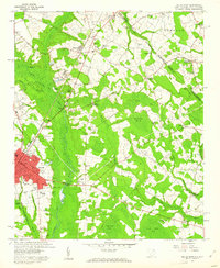 1960 Dillon East1961 Print · USGSDillon and its rural hinterlands sat at a vital railway junction just as the mid-century era was transforming the Carolina coastal plain. Researchers can trace family sites from Rose Hill Cem to Carmichael Crossroads and locate schools like Gordon High School.2 unique versions available
 - 1960 Map of Dillon West, 1961 Print
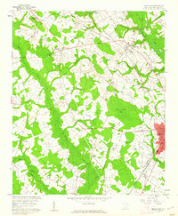 1960 Dillon West1961 Print · USGSDillon and its western rural hinterland are captured here in the early sixties as the railroad era met the growing highway network. Genealogists can locate family landmarks like Afford Cem, Mt Holly Cem, and old country schools like Maple Sch.2 unique versions available
 - 1976 Map of Dillon East
 1976 Dillon East1976 Print · USGSDillon and the surrounding Carolina borderlands are captured from the air during the mid-seventies, showing the region's agricultural and industrial patterns. Local historians can trace the development of Dillon or locate smaller settlements like Hamer and Stewarts Crossroads.2 unique versions available
 - 1983 Map of Florence, 1985 Print
 1983 Florence1985 Print · USGSThe Pee Dee region in the early eighties shows a landscape shaped by river commerce and rail expansion. Researchers can trace historic river crossings at Galivants Ferry or locate vanished rail stops like Willow Creek Siding and Blue Brick.
 - 2011 Map of Dillon West, 2011 Print
 2011 Dillon West2011 Print · USGSCovers Dillon, including Little Rock, McCormick Crossroads, and other nearby areas
 - 2011 Map of Dillon East, 2011 Print
 2011 Dillon East2011 Print · USGSCovers Dillon, including Hamer, Carmichael Crossroads, and other nearby areas
 - 2014 Map of Dillon West, 2014 Print
 2014 Dillon West2014 Print · USGSCovers Dillon, including Little Rock, McCormick Crossroads, and other nearby areas
 - 2014 Map of Dillon East, 2014 Print
 2014 Dillon East2014 Print · USGSCovers Dillon, including Hamer, Carmichael Crossroads, and other nearby areas
 - 2017 Map of Dillon East, 2017 Print
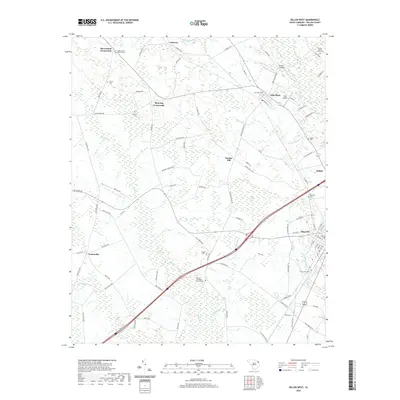
 2017 Dillon East2017 Print · USGSCovers Dillon, including Hamer, Carmichael Crossroads, and other nearby areas
 - 2017 Map of Dillon West, 2017 Print
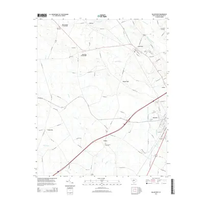
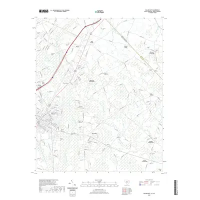
 2017 Dillon West2017 Print · USGSCovers Dillon, including Little Rock, McCormick Crossroads, and other nearby areas
 - 2020 Map of Dillon East, 2020 Print
 2020 Dillon East2020 Print · USGSCovers Dillon, including Hamer, Carmichael Crossroads, and other nearby areas
 - 2020 Map of Dillon West, 2020 Print
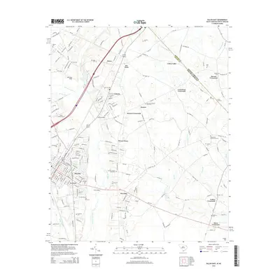
 2020 Dillon West2020 Print · USGSCovers Dillon, including Little Rock, McCormick Crossroads, and other nearby areas
 - 2024 Map of Dillon West, 2024 Print
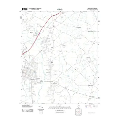
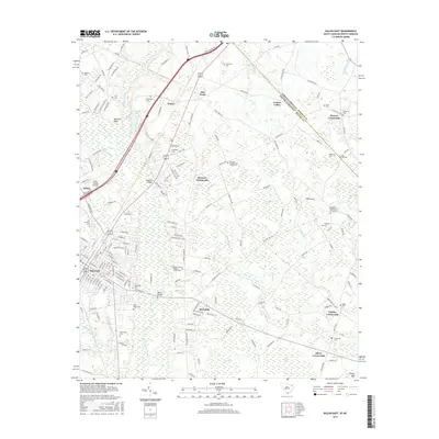
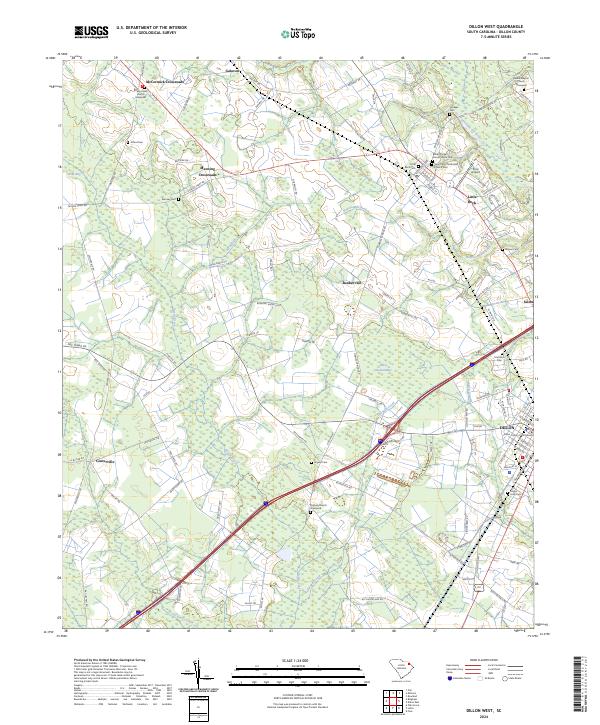 2024 Dillon West2024 Print · USGSDillon and the coastal plain of the Pee Dee region are shown here in modern detail, from the county seat to the small crossroad hamlets. Researchers can trace family roots at Saint Paul's Methodist Church Cem or explore the landscape around Little Rock and Bunker Hill.
 - 2024 Map of Dillon East, 2024 Print
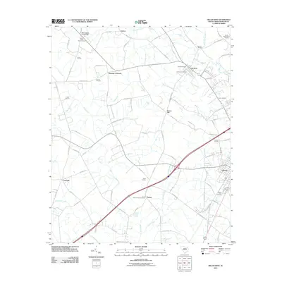
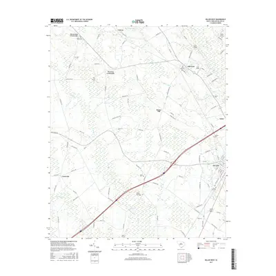
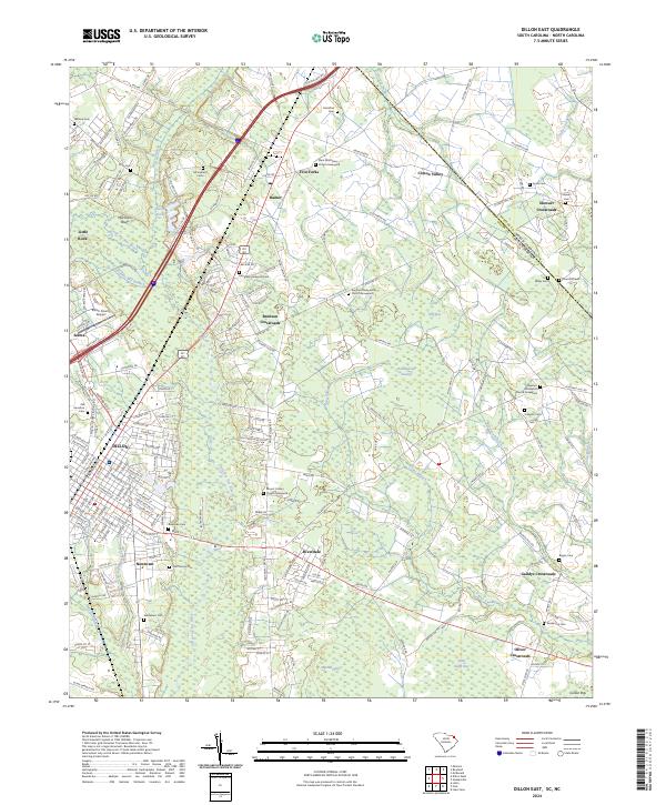 2024 Dillon East2024 Print · USGSDillon and its surrounding wetlands come into focus in this contemporary survey of the South Carolina borderlands. Researchers can trace family history through dozens of rural burial sites like Culbreth Cem and Evergreen Perpetual Cem or locate old community hubs at Five Forks and Hamer.
End of results
Showing maps 1-16 of 16
Top cities near Dillon
- Marion historical maps
- Mullins historical maps
- Rowland historical maps
- Hamer historical maps
- Lake View historical maps
- Clio historical maps
See more
Frequently asked questions
- What are the different types of historical maps available for Dillon?
- What is the oldest map of Dillon?
- Where can I purchase historical maps of Dillon for my home or office?
- Where can I download high-res historical maps of Dillon?
- Are there historical topographic maps available for Dillon?
- Is there historical aerial imagery available for Dillon?
- Where are historical maps of Dillon sourced from?