Old Maps of High Hill Crossroads, South Carolina for Academic Research
Study the evolution of High Hill Crossroads with 12 high-resolution historic maps. Whether you're teaching, researching, or modeling changes in land use, these maps provide essential visual documentation of urban, environmental, and geographic change.
- Analyze long-term change: Track patterns in development, transportation, and natural features.
- Ideal for environmental or urban studies: Support academic projects with primary historical map data.
- Use in the classroom or lab: Educators and researchers rely on these maps to bring historical context to life.
These maps are a powerful tool for teaching, research, and visualizing how High Hill Crossroads has changed over the decades.
High Hill Crossroads, SC maps
(12)- 1943 Map of Pages Mill
 1943 Pages Mill1943 Print · USGSThe Carolina borderlands come alive in the 1940s, showing a landscape shaped by the Lumber River and the Atlantic Coast Line railroad. Genealogists can trace family names through numerous rural landmarks like Oliver Cross Roads, Tabernacle Ch, and White Pond Ch & Sch.
 - 1953 Map of Florence, 1964 Print
 1953 Florence1964 Print · USGSThe Carolina borderlands in the mid-fifties were a landscape of vast river swamps and rising rail towns. Trace the legacy of the Seaboard Air Line through Florence or explore the wetlands surrounding Lake Waccamaw and the Green Swamp.3 unique versions available
 - 1954 Map of Florence
 1954 Florence1954 Print · USGSThe Carolinas borderlands come alive in the early fifties, showing the vital rail-and-river networks of the coastal plain. Genealogists can trace family footprints across the Green Swamp or through settlements like Red Springs, Chadbourn, and McColl.
 - 1962 Map of Lake View, 1964 Print
 1962 Lake View1964 Print · USGSThe South Carolina and North Carolina borderlands are captured here in the early sixties, showing the transition from old rail corridors to a landscape of millponds and rural crossroads. Genealogists can trace family landmarks like High Hill Crossroads, Pages Millpond, and Squires Pork Church.
 - 1962 Map of Fair Bluff, 1965 Print
 1962 Fair Bluff1965 Print · USGSThe Carolina borderlands near the Lumber River are captured here in the early sixties, showing a landscape defined by elliptical bays and winding swamp systems. Genealogists can trace family names and local sites like Piney Grove Indian Ch, Pages Millpond, and the Atlantic Coast Line Railroad.
 - 1976 Map of Lake View, 1978 Print
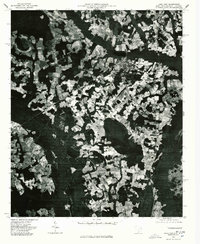 1976 Lake View1978 Print · USGSThe rural landscapes of Dillon County come to life in the mid-1970s, showcasing the agricultural heart of the South Carolina borderlands. Researchers can trace the layout of Lake View and locate outlying communities like Hodgesville and May Hilltop.
 - 1983 Map of Florence, 1985 Print
 1983 Florence1985 Print · USGSThe Pee Dee region in the early eighties shows a landscape shaped by river commerce and rail expansion. Researchers can trace historic river crossings at Galivants Ferry or locate vanished rail stops like Willow Creek Siding and Blue Brick.
 - 2011 Map of Lake View, 2011 Print
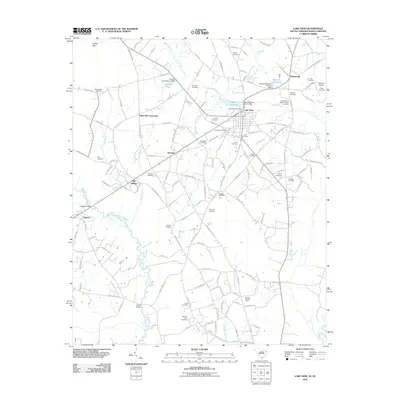 2011 Lake View2011 Print · USGSThe rural landscape of Dillon County comes to life in this early 21st-century survey of the Lake View area and the Little Pee Dee River basin. Genealogists and local historians can locate numerous family burial grounds like Roziers Cemetery and landmarks such as Huggins Bridge.
 - 2014 Map of Lake View, 2014 Print
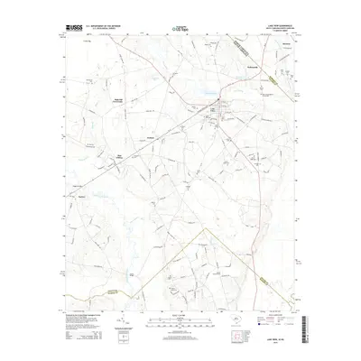 2014 Lake View2014 Print · USGSThe borderlands of Dillon County and North Carolina are revealed in this modern survey, showing a landscape defined by blackwater swamps and rural hamlets. Genealogists can locate dozens of family burial sites like Joel B Hayes Cem and landmarks such as the Nichols Lookout Tower.
 - 2017 Map of Lake View, 2017 Print
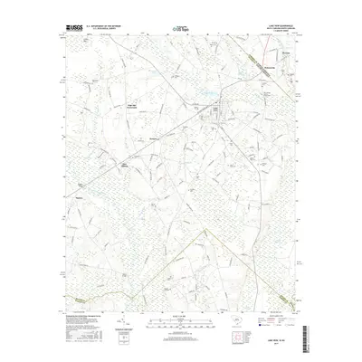 2017 Lake View2017 Print · USGSDillon County and the North Carolina borderlands are captured here in the late twenty-teens, showing a landscape defined by the Little Pee Dee River and Bear Swamp. Researchers can locate numerous family burial grounds like Roziers Cem and Page Cem, or trace rural communities at High Hill Crossroads and Kemper.
 - 2020 Map of Lake View, 2020 Print
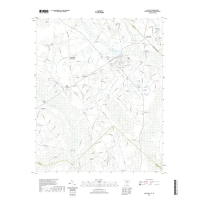 2020 Lake View2020 Print · USGSThe South Carolina and North Carolina borderlands come into focus in this recent survey of Dillon County. Researchers can trace family history through numerous rural burial sites like Bear Swamp Baptist Church Cem or find old crossroads at Kemper and High Hill Crossroads.
 - 2024 Map of Lake View, 2024 Print
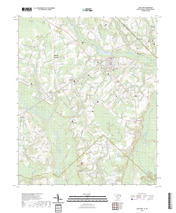 2024 Lake View2024 Print · USGSThe South Carolina borderlands near Lake View are revealed in this modern survey, showcasing a landscape defined by expansive swamps and rural crossroads. Family historians can trace numerous burial sites like Union Church Graveyard and Bear Swamp Baptist Church Cem.
End of results
Showing maps 1-12 of 12
Top cities near High Hill Crossroads
- Marion historical maps
- Dillon historical maps
- Mullins historical maps
- Fairmont historical maps
- Fair Bluff historical maps
- Rowland historical maps
See more
Frequently asked questions
- What are the different types of historical maps available for High Hill Crossroads?
- What is the oldest map of High Hill Crossroads?
- Where can I purchase historical maps of High Hill Crossroads for my home or office?
- Where can I download high-res historical maps of High Hill Crossroads?
- Are there historical topographic maps available for High Hill Crossroads?
- Is there historical aerial imagery available for High Hill Crossroads?
- Where are historical maps of High Hill Crossroads sourced from?