Old Maps of Oakland Crossroads, South Carolina for Academic Research
Study the evolution of Oakland Crossroads with 11 high-resolution historic maps. Whether you're teaching, researching, or modeling changes in land use, these maps provide essential visual documentation of urban, environmental, and geographic change.
- Analyze long-term change: Track patterns in development, transportation, and natural features.
- Ideal for environmental or urban studies: Support academic projects with primary historical map data.
- Use in the classroom or lab: Educators and researchers rely on these maps to bring historical context to life.
These maps are a powerful tool for teaching, research, and visualizing how Oakland Crossroads has changed over the decades.
Oakland Crossroads, SC maps
(11)- 1953 Map of Florence, 1964 Print
 1953 Florence1964 Print · USGSThe Carolina borderlands in the mid-fifties were a landscape of vast river swamps and rising rail towns. Trace the legacy of the Seaboard Air Line through Florence or explore the wetlands surrounding Lake Waccamaw and the Green Swamp.3 unique versions available
 - 1954 Map of Florence
 1954 Florence1954 Print · USGSThe Carolinas borderlands come alive in the early fifties, showing the vital rail-and-river networks of the coastal plain. Genealogists can trace family footprints across the Green Swamp or through settlements like Red Springs, Chadbourn, and McColl.
 - 1972 Map of Rowland, 1976 Print
 1972 Rowland1976 Print · USGSThe North Carolina and South Carolina borderlands were a patchwork of tobacco fields and swampy timberlands in the early seventies. Genealogists can trace family footprints through numerous rural landmarks like Alfordsville, Salem Ch, and the Baker Cem.2 unique versions available
 - 1976 Map of Rowland, 1978 Print
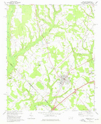
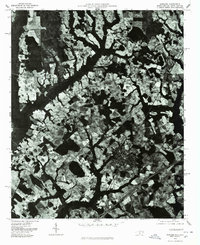 1976 Rowland1978 Print · USGSThe town of Rowland and the surrounding Robeson County farmland are seen from the air in the mid-1970s. Trace the rural landscape through Alfordsville, Purvis, and the junction at Oakland Crossroads.
 - 1983 Map of Laurinburg, 1984 Print
 1983 Laurinburg1984 Print · USGSThe Carolina borderlands come into focus in the early 1980s, showcasing a landscape defined by the Sandhills Game Land and major river systems. Genealogists and rail historians can trace the paths of the Seaboard Coast Line Railroad through Hamlet or locate St Andrews College and Cheraw State Park.2 unique versions available
 - 1997 Map of Rowland, 2000 Print
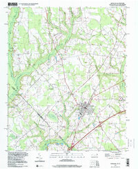 1997 Rowland2000 Print · USGSNear the North Carolina and South Carolina border in the late nineties, this area showcases the intersection of small-town grids and coastal plain swamps. Genealogists can locate family landmarks like Mt Pelier Ch, Southside Sch, and the Rowland Cem.
 - 2011 Map of Rowland, 2011 Print
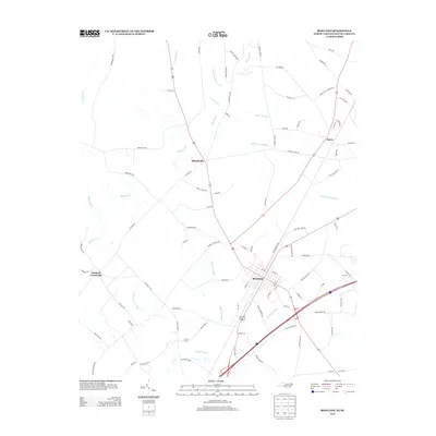
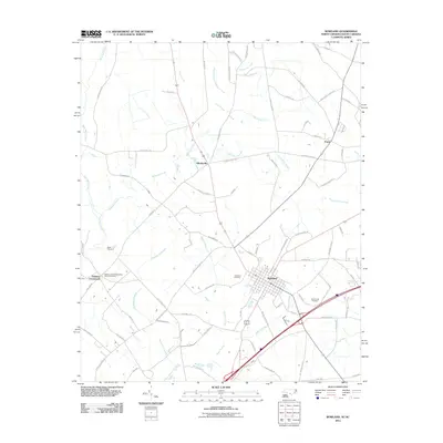 2011 Rowland2011 Print · USGSCovers Oakland Crossroads, including Rowland, Alfordsville, and other nearby areas
 - 2013 Map of Rowland, 2013 Print
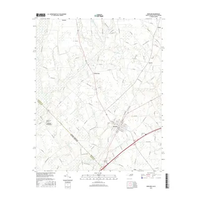
 2013 Rowland2013 Print · USGSCovers Oakland Crossroads, including Rowland, Alfordsville, and other nearby areas
 - 2016 Map of Rowland, 2016 Print
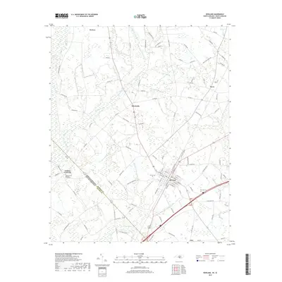
 2016 Rowland2016 Print · USGSCovers Oakland Crossroads, including Rowland, Alfordsville, and other nearby areas
 - 2019 Map of Rowland, 2019 Print
 2019 Rowland2019 Print · USGSCovers Oakland Crossroads, including Rowland, Alfordsville, and other nearby areas
 - 2022 Map of Rowland, 2022 Print
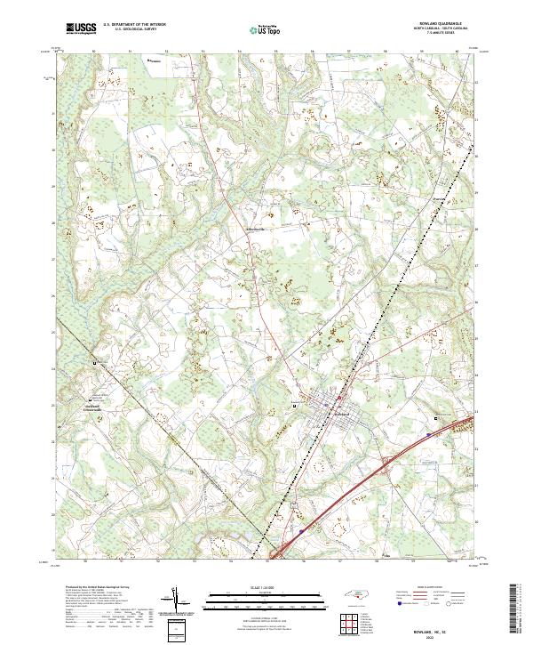 2022 Rowland2022 Print · USGSThe North Carolina-South Carolina border comes alive in this 2022 survey of the rural landscape near Rowland. Genealogists can trace local roots at Oakland United Methodist Church and family burial sites like Baker Cem or McCormick Cem.
End of results
Showing maps 1-11 of 11
Top cities near Oakland Crossroads
- Laurinburg historical maps
- Dillon historical maps
- Pembroke historical maps
- Maxton historical maps
- McColl historical maps
- Rowland historical maps
See more
Frequently asked questions
- What are the different types of historical maps available for Oakland Crossroads?
- What is the oldest map of Oakland Crossroads?
- Where can I purchase historical maps of Oakland Crossroads for my home or office?
- Where can I download high-res historical maps of Oakland Crossroads?
- Are there historical topographic maps available for Oakland Crossroads?
- Is there historical aerial imagery available for Oakland Crossroads?
- Where are historical maps of Oakland Crossroads sourced from?