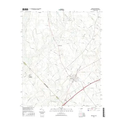
2016 Map of Rowland
USGS Topo · Published 2016About this map
The town of Rowland serves as the focal point of this region in Robeson County, where the landscape is defined by an intricate network of wetlands and agricultural tracts. This survey reveals how the local geography is carved by slow-moving water bodies like Mitchell Swamp, Bracey Swamp, and Contrary Swamp. These features dictate the placement of local infrastructure and the historical settlements of Alfordsville and Purvis.
Find a feature on this map
110 named features on this map. Tap any name to fly to it.
Don’t see what you’re looking for? This feature index may not catch every label — zoom into the map to look around manually.
Map Details
Editions of this 2016 Rowland Map
This is the sole edition of this map. No revisions or reprints were ever made.
Other maps of this area

1943 · Pages Mill
USGS Topo · 1:62,500

1953 · Florence
USGS Topo · 1:250,000

1954 · Florence
USGS Topo · 1:250,000

1960 · Dillon East
USGS Topo · 1:24,000

1960 · Dillon West
USGS Topo · 1:24,000

1962 · Gaddysville
USGS Topo · 1:24,000

1962 · Fair Bluff
USGS Topo · 1:62,500

1971 · Minturn
USGS Topo · 1:24,000

1971 · Johns
USGS Topo · 1:24,000

1972 · Pembroke
USGS Topo · 1:24,000