2020s Maps of Lancaster County, South Carolina
Explore 43 historic maps of Lancaster County from the 2020s. These maps offer a rare glimpse into what life looked like during the 2020s — showing old roads, neighborhoods, homes, and landmarks that have changed or disappeared over time.
Whether you're researching your family's past, planning a metal detecting trip, or studying how Lancaster County's landscape evolved across the 2020s, these high-resolution maps are a powerful tool for exploring the history of this region.
- Focus on a specific era: All maps on this page are from the 2020s, giving you a focused view of this time period.
- See what’s changed: Compare century-old streets, trails, and buildings to today's modern landscape using overlays and satellite layers.
- Research with precision: Use these maps for genealogy, historical research, land use analysis, or educational projects.
- View, download, or print: Maps are fully viewable online in high resolution, and can be downloaded or printed for your own records.
Start exploring Lancaster County's history through authentic maps from the 2020s. This is your window into the past.
Lancaster County, SC maps
(43)- 2020 Map of Fort Mill, 2020 Print
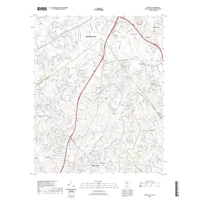 2020 Fort Mill2020 Print · USGSThe Carolina borderlands south of Charlotte show a landscape of suburban growth and historical transit in the early twenty-first century. Genealogists can locate established burial grounds like Dinkins Cem and Saint Johns Church Cem among the waters of Steele Creek.
 - 2020 Map of Taxahaw, 2020 Print
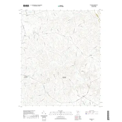 2020 Taxahaw2020 Print · USGSLancaster County's rural crossroads and natural landmarks are captured here in the early twenty-first century. Researchers can trace family history through Fork Hill Cem or locate old community centers like Taxahaw and White Bluff Crossroads.
 - 2020 Map of Liberty Hill, 2020 Print
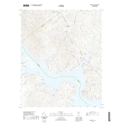 2020 Liberty Hill2020 Print · USGSThe Kershaw County uplands and the winding fingers of Wateree Lake are documented in this contemporary survey. Researchers can locate family landmarks like the Summerville - Cunningham Cem, New Grove Cem, and Mineral Spring.
 - 2020 Map of Fort Lawn, 2020 Print
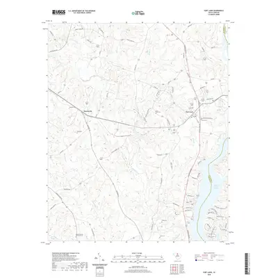 2020 Fort Lawn2020 Print · USGSFort Lawn and the surrounding South Carolina countryside appear here in the modern era as the landscape bridges the gap between rural roads and the Fishing Creek Reservoir. Genealogists can trace family heritage through numerous burial sites like Howze Cem and the uniquely named Blakies Caldwells and Strouds Cem.
 - 2020 Map of White Oak Creek, 2020 Print
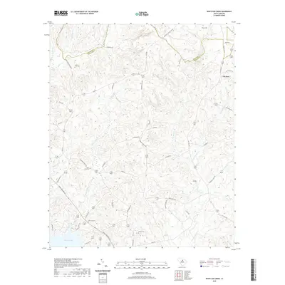 2020 White Oak Creek2020 Print · USGSKershaw and Lancaster counties meet along the waters of Wateree Lake in this 2020 study of the South Carolina Piedmont. Trace local history through family-named roads and rural burial grounds like Smyrlies Cemetery and Beaver Creek Cemetery.
 - 2020 Map of Flint Hill, 2020 Print
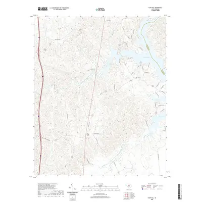 2020 Flint Hill2020 Print · USGSFairfield County’s lakeside and rural communities come into focus in this recent survey of the Wateree basin. Genealogists and local historians can trace family locations near Mount Zion Cem or follow old routes like Ladd's Ferry Rd and Camp Welfare Rd.
 - 2020 Map of Tradesville, 2020 Print
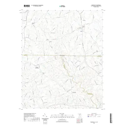 2020 Tradesville2020 Print · USGSThe Carolina borderlands north of Lancaster come into focus in this recent survey, where the tri-county junction meets a landscape of traditional rural settlements. Researchers can trace family history through numerous landmarks like Antioch Church Cem and Stewart Crossroads along the Lynches River.
 - 2020 Map of Catawba NE, 2020 Print
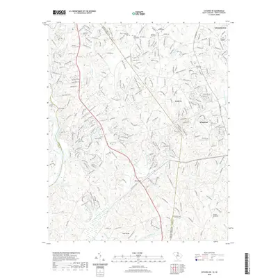 2020 Catawba NE2020 Print · USGSThe North and South Carolina borderlands come into focus here as the suburbs of Marvin and Weddington expand south toward Van Wyck. Genealogists can trace family names through numerous local burial sites, including Rehobeth Presbyterian Church Cem and Price Chapel Cem.
 - 2020 Map of Lancaster SE, 2020 Print
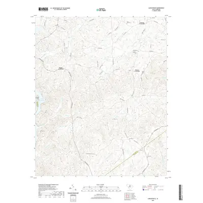 2020 Lancaster SE2020 Print · USGSThe rural Piedmont region of Lancaster County is captured here in the contemporary era, centered on historic intersections. Genealogists can trace family landmarks and burial sites including Mackey-Walker Cem, Hudson Cem, and Blakley Crossroads.
 - 2020 Map of Catawba, 2020 Print
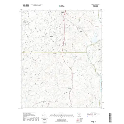 2020 Catawba2020 Print · USGSAs the new century began, these riverfront communities in York and Lancaster counties maintained their rural character along the Catawba River. Genealogists can trace family landmarks and historical gathering places like Harmony Ch, Catawba Sch, and Culp Island.
 - 2020 Map of Unity, 2020 Print
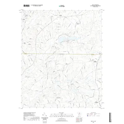 2020 Unity2020 Print · USGSThe South Carolina and North Carolina state line is captured here in recent years, showing a landscape defined by rural crossroads and aviation outposts. Genealogists and local researchers can locate numerous burial sites, including Walkersville Presbyterian Church Cem and Silver Run Church Cem.
 - 2020 Map of Rock Hill East, 2020 Print
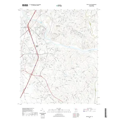 2020 Rock Hill East2020 Print · USGSYork County at the turn of the decade shows the modernization of the Catawba River corridor between its major towns. Genealogists and historians can trace local landmarks like Hopewell Cem and the older settlements of Lesslie and Red River.
 - 2020 Map of Lancaster, 2020 Print
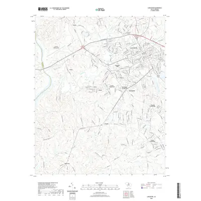 2020 Lancaster2020 Print · USGSThe Piedmont landscape of Lancaster County comes into view here as it appeared in the early 21st century. Researchers can trace local lineage at Clinton Memorial Cem or locate the historic Lancaster County Courthouse.
 - 2020 Map of Westville, 2020 Print
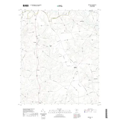 2020 Westville2020 Print · USGSKershaw County at the start of the 2020s remains a landscape defined by its creek-side heritage and rural crossroads. Researchers can trace historical milling sites like Gaston Mill and Barfield Mill or locate family landmarks such as McLeans Branch Cem.
 - 2020 Map of Antioch, 2020 Print
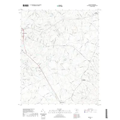 2020 Antioch2020 Print · USGSLancaster County at the start of the 2020s shows a landscape of rural settlements and historic aviation sites. Genealogists and local historians can trace family locations near Caskey Cemetery, Kirk Air Base, and the Rich Hill Crossroads.
 - 2020 Map of Kershaw, 2020 Print
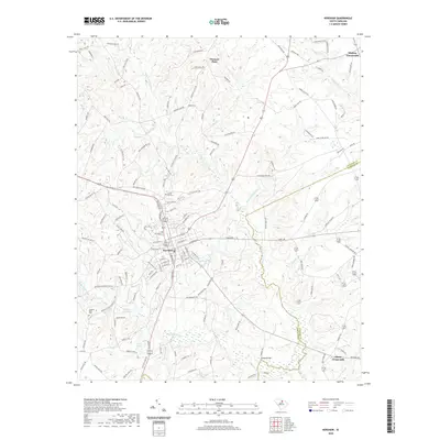 2020 Kershaw2020 Print · USGSThe Lancaster and Kershaw county line bisects the town of Kershaw in this modern survey of the South Carolina Piedmont. Local researchers can trace family landmarks like Hanging Rock Church, Laurel Hill Cem, and the historic crossroads at Abney Crossroads.
 - 2020 Map of Van Wyck, 2020 Print
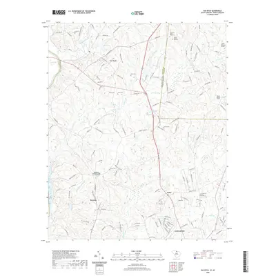 2020 Van Wyck2020 Print · USGSLancaster County and the North Carolina borderlands are captured here in the modern era, showing a landscape defined by the Catawba River. Genealogists and historians can trace numerous family burial grounds including Cureton Cem and the Andrew Jackson Memorial near Van Wyck.
 - 2020 Map of Great Falls, 2020 Print
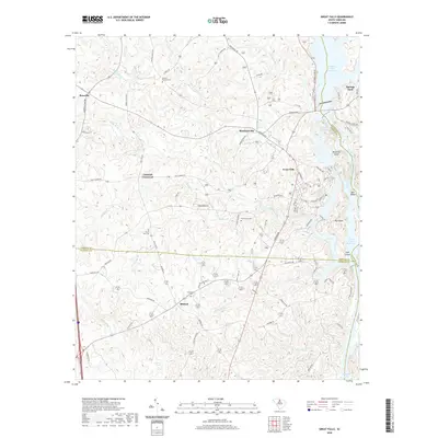 2020 Great Falls2020 Print · USGSThe Catawba River's industrial and hydroelectric corridor at Great Falls is captured here in the early twenty-first century. Genealogists and local historians can trace legacy sites like Browns - Strouds Cem, the rural center of Mitford, and Mountain Island.
 - 2020 Map of Heath Springs, 2020 Print
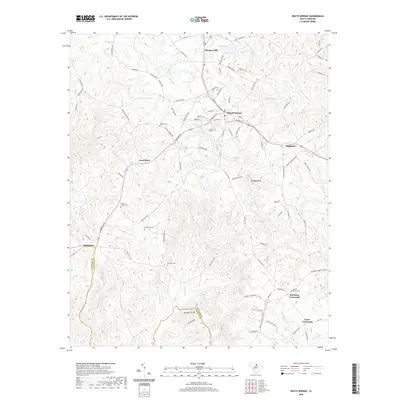 2020 Heath Springs2020 Print · USGSHeath Springs and its surrounding rural crossroads appear here in detail during the early twenty-first century. Genealogists and historians can locate legacy burial sites like Mobley Cem and trace the paths to landmarks such as Anvil Rock and Hanging Rock.
 - 2020 Map of Jefferson, 2020 Print
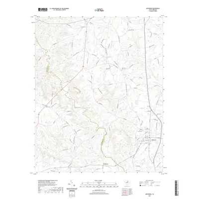 2020 Jefferson2020 Print · USGSJefferson and the surrounding Carolina Piedmont are captured in the early 21st century as the region maintains its rural, creek-carved character. Researchers can trace family lineages through many documented burial grounds, including the Miller - Lowery Cem, White Plains Cem, and Five Fork Cem.
 - 2020 Map of Mount Pisgah, 2020 Print
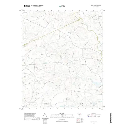 2020 Mount Pisgah2020 Print · USGSThe rural borderlands of Kershaw and Lancaster counties are detailed here in the early twenty-first century. Genealogists and local historians can trace family-named sites and landmarks like Stroud Cem, the crossing at Miller Bridge, and the community of Mount Pisgah.
 - 2022 Map of Weddington, 2022 Print
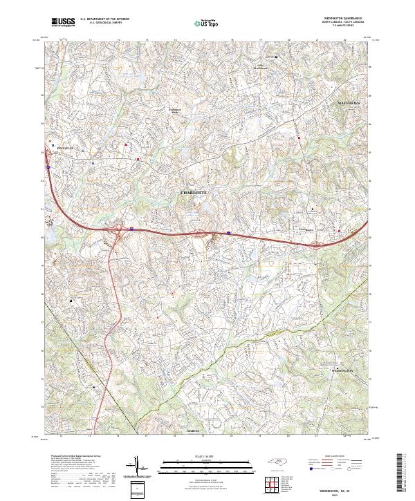 2022 Weddington2022 Print · USGSThe borderlands of Union and Mecklenburg counties are captured here in a period of significant suburban growth. Researchers can locate family heritage sites at the Providence Church Cem or trace the many branches of Sixmile Cr.
 - 2024 Map of Mount Pisgah, 2024 Print
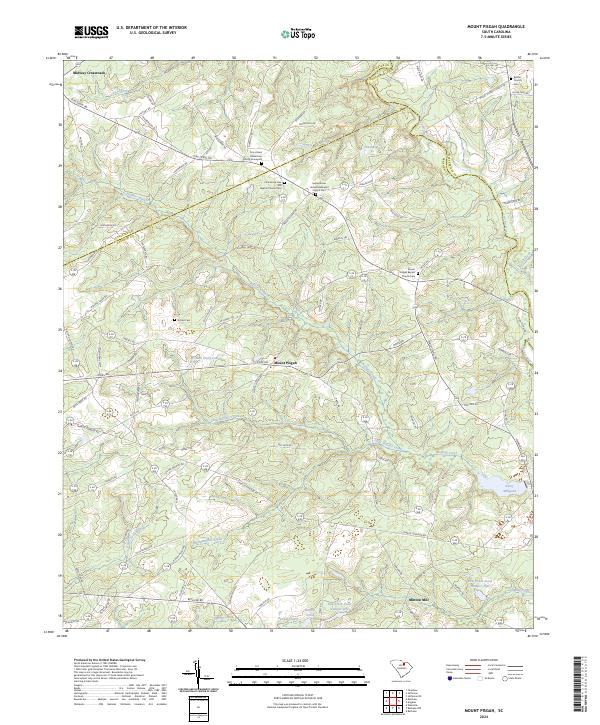 2024 Mount Pisgah2024 Print · USGSMount Pisgah and its neighboring counties are shown here in recent detail, capturing a rural South Carolina landscape defined by the Lynches River and Buffalo Creek. Genealogists can trace family landmarks at Stroud Cem, Minton Mill, and Bethel Church Cem.
 - 2024 Map of Catawba NE, 2024 Print
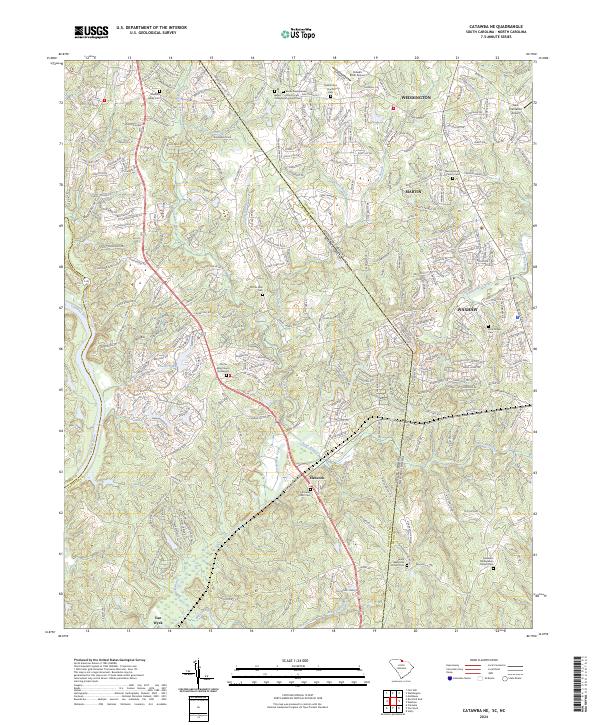 2024 Catawba NE2024 Print · USGSThe Carolina Piedmont comes into focus at the state line during a period of modern growth and suburban expansion. Researchers can trace ancestral roots at the Old Six Mile Church Graveyard or locate landmarks like Banks Presbyterian Church and Hancock.
 - 2024 Map of Westville, 2024 Print
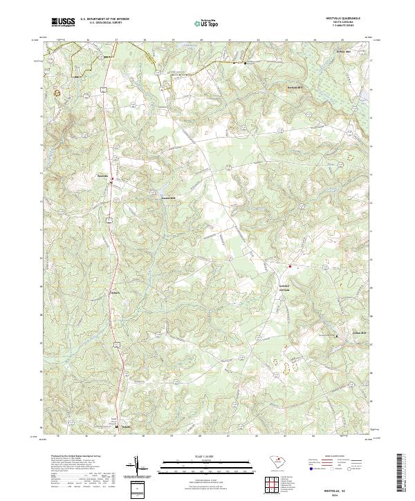 2024 Westville2024 Print · USGSKershaw County at the contemporary moment retains its deeply rural character and historic water-powered industry sites. Trace family history at the Dekalb Church Graveyard or explore the landscape of Gaston Mill, Jordan Mill, and the Little Lynches River.
Showing maps 1-25 of 43
Top cities of Lancaster County
- Indian Land historical maps
- Lancaster historical maps
- Kershaw historical maps
- Heath Springs historical maps
Frequently asked questions
- What are the different types of historical maps available for Lancaster County?
- What is the oldest map of Lancaster County?
- Where can I purchase historical maps of Lancaster County for my home or office?
- Where can I download high-res historical maps of Lancaster County?
- Are there historical topographic maps available for Lancaster County?
- Is there historical aerial imagery available for Lancaster County?
- Where are historical maps of Lancaster County sourced from?